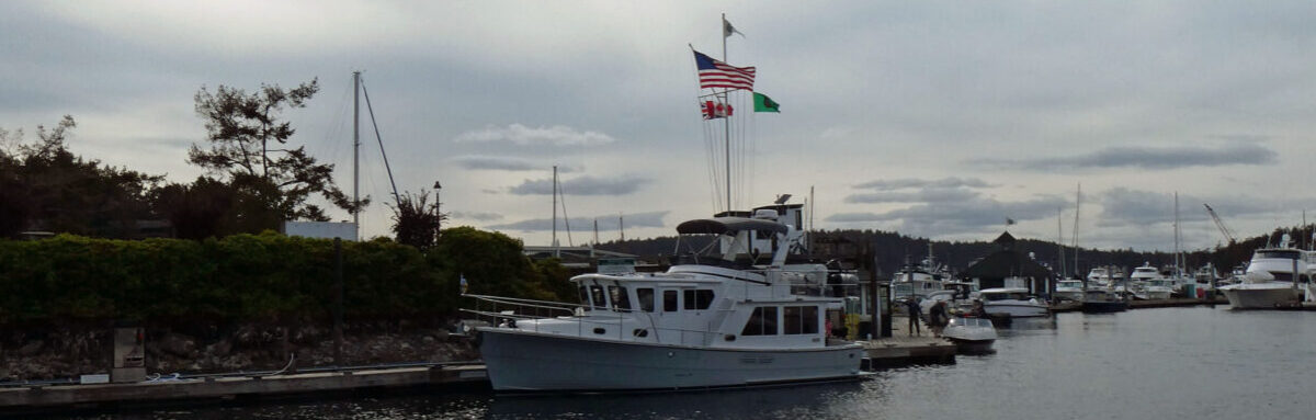
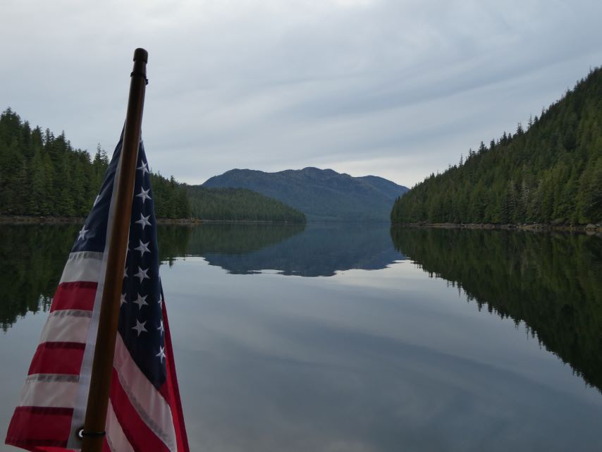
ROUTE: Meyers Chuck, Clarence Strait, Ernest Sound, Seward Passage, Santa Anna Inlet
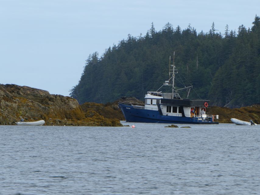
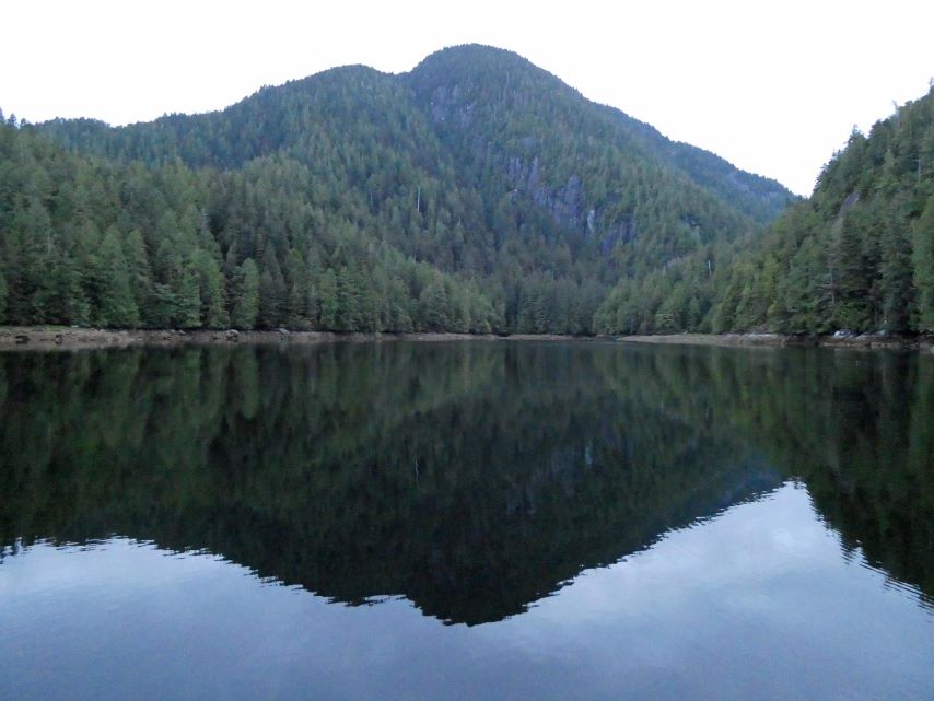
ANCHOREDGPS LOCATION: 55o58.676’N – 131o56.066’W
ANCHORED IN: 51 feet
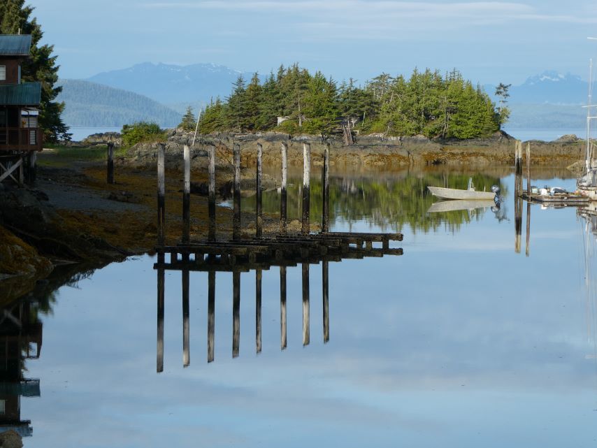
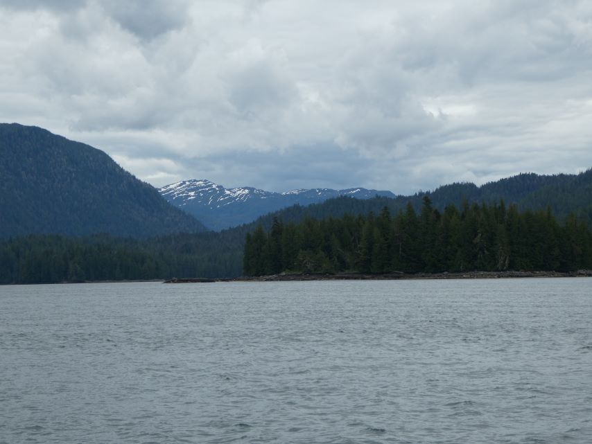
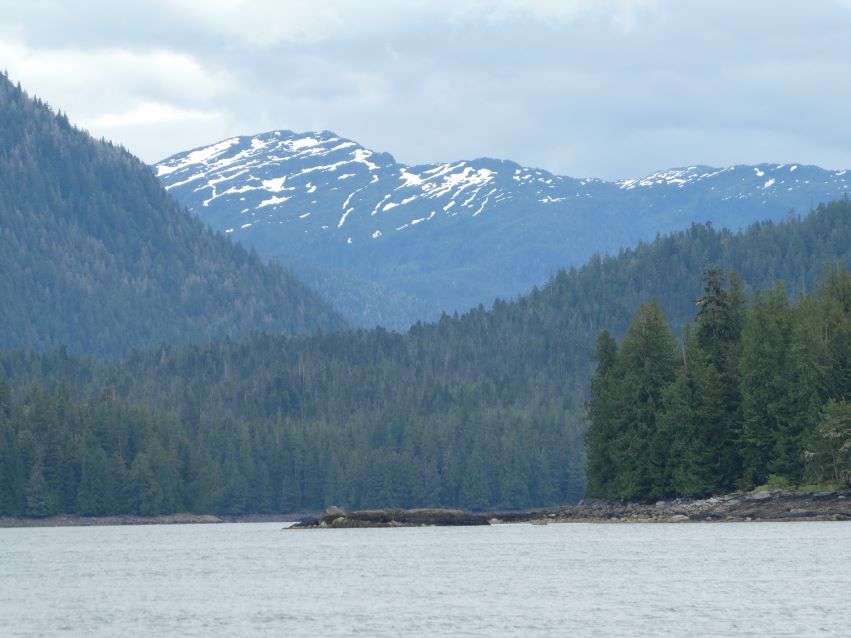
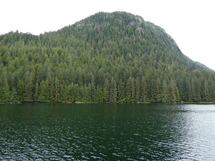
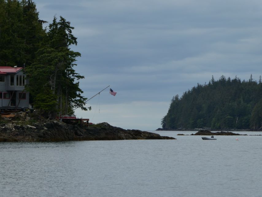
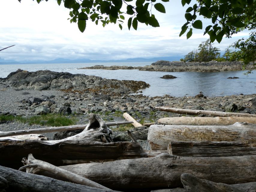
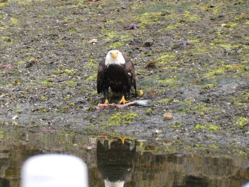
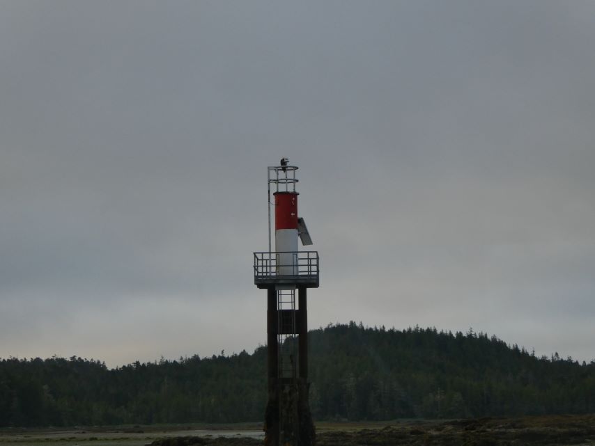
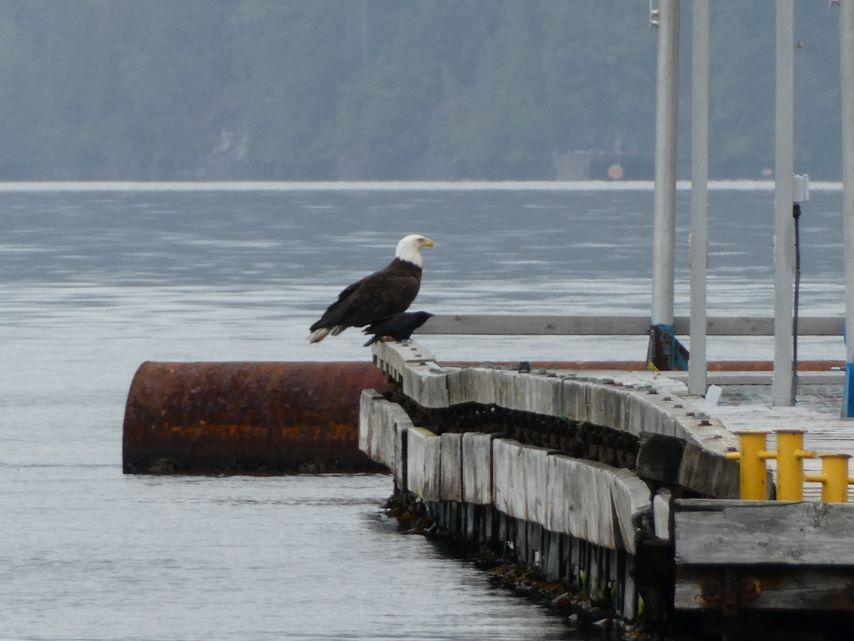
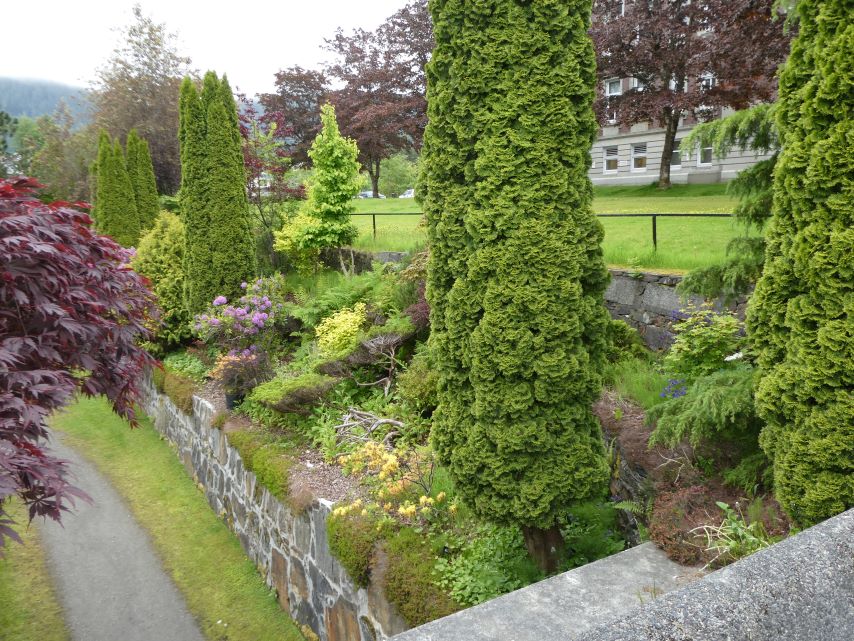
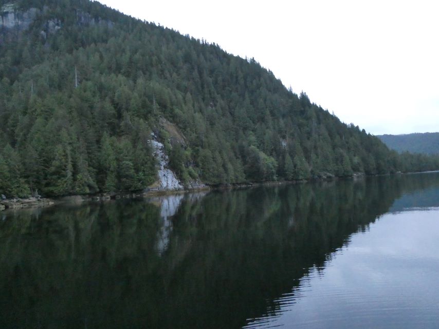
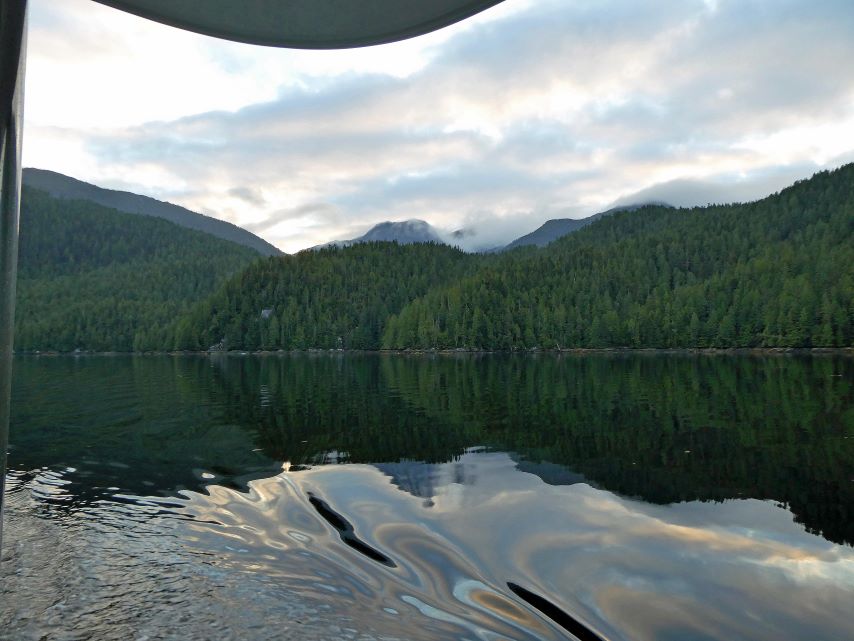
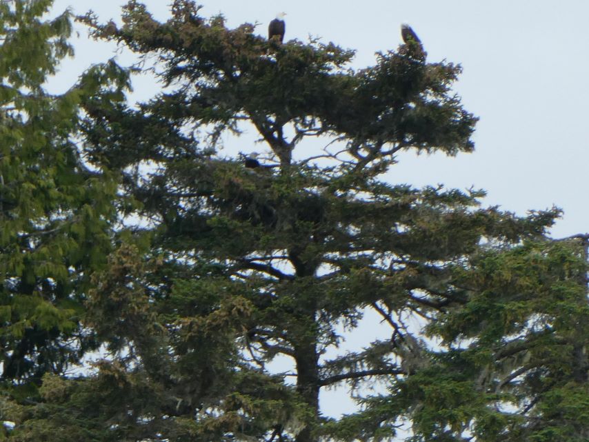
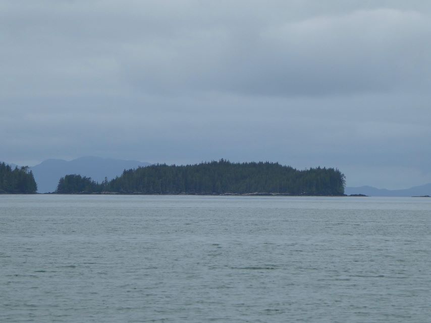
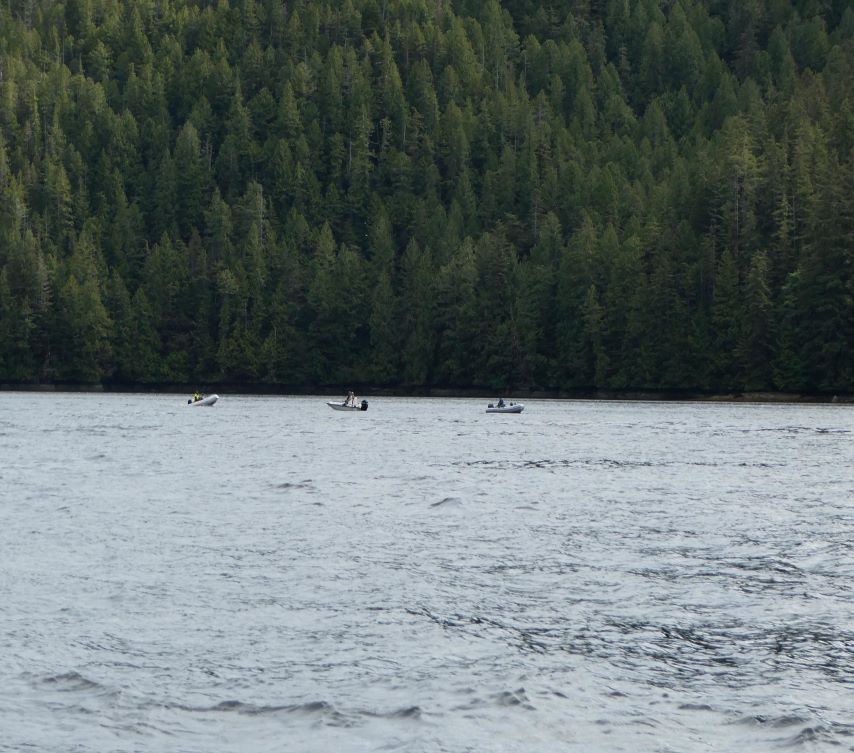
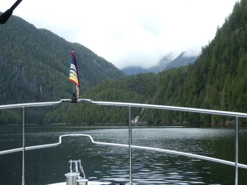
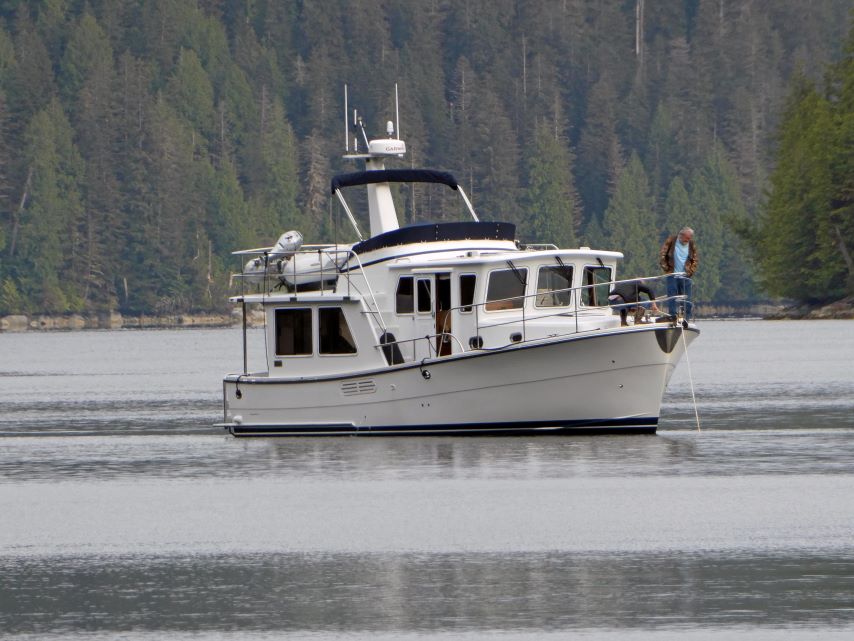
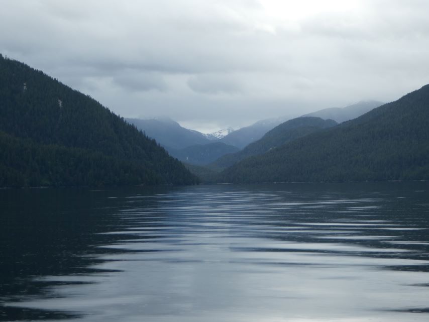
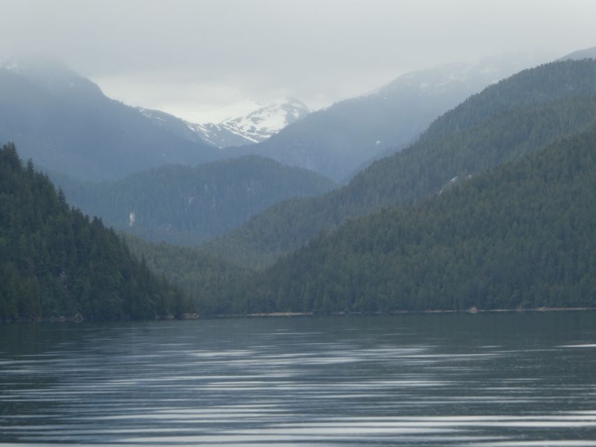
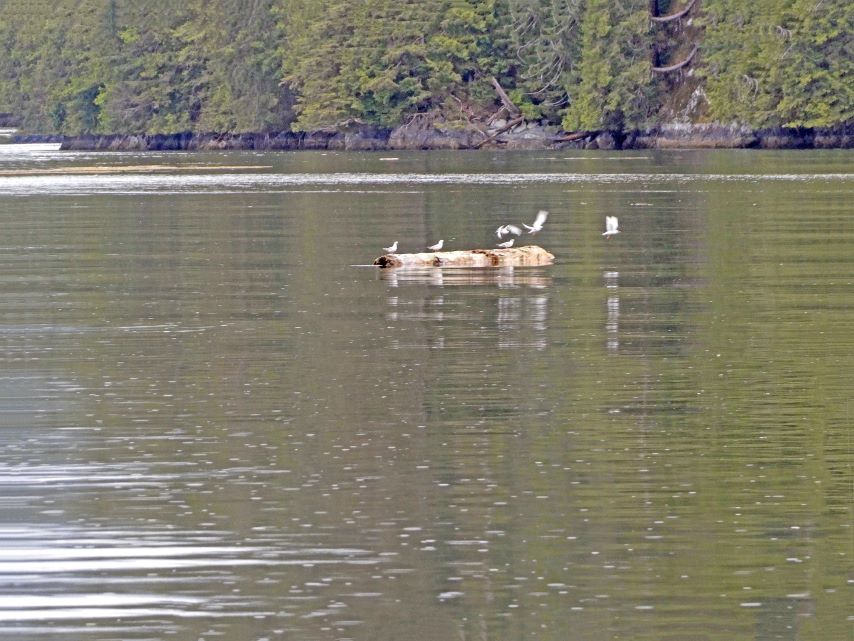
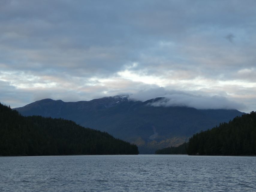
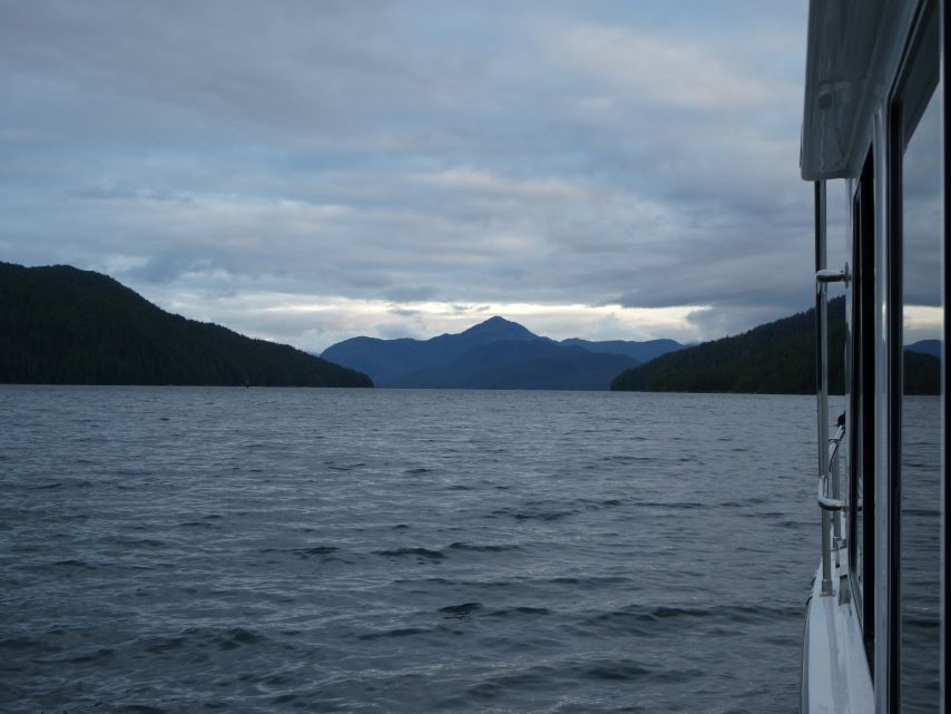
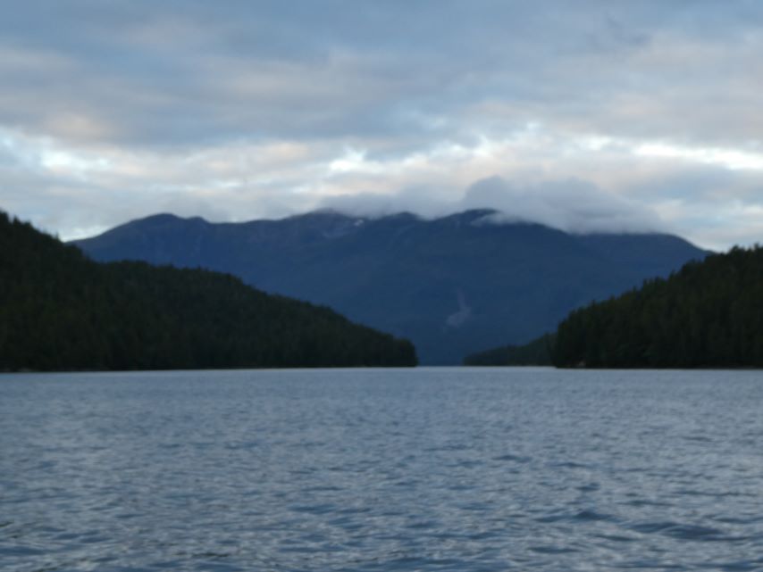
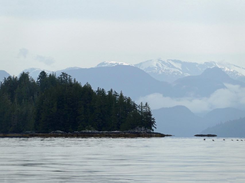
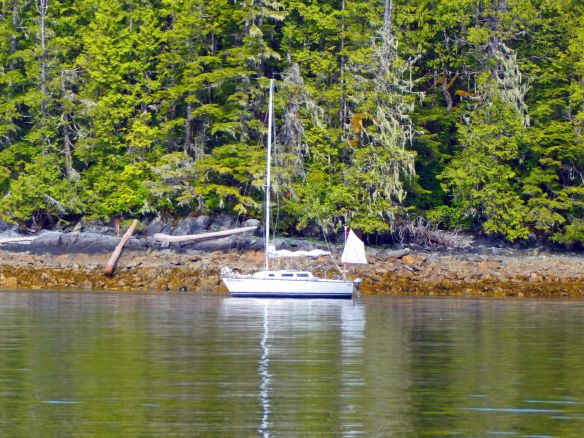
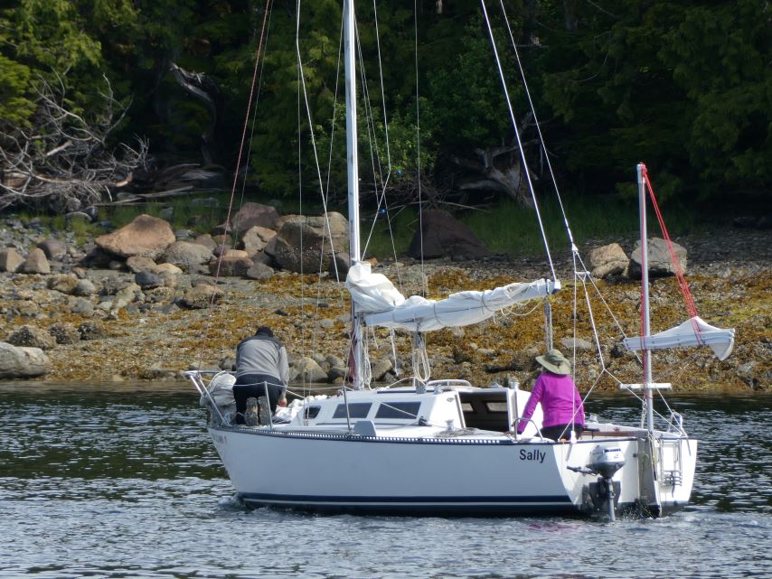
Our plan for today was to travel from Meyers Chuck to Frosty Bay. Frosty Bay has been reported as well-protected and scenic, worthy of a visit if only to watch the seals that enjoyed the partially submerged rocks at the entrance. Unfortunately, when we arrived at Frosty Bay the best anchorage was taken and the seals had abandoned the partially submerged rocks for places unknown. We decided to backtrack 4.5 miles south to Santa Anna Inlet. This turn of events put us on the path to see our third humpback whale and our first bear of the trip.
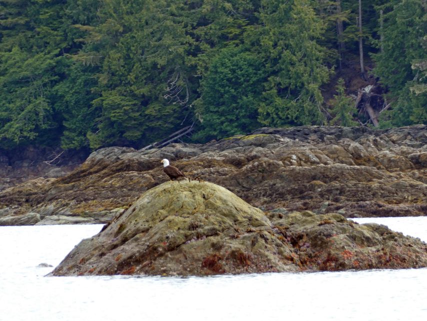
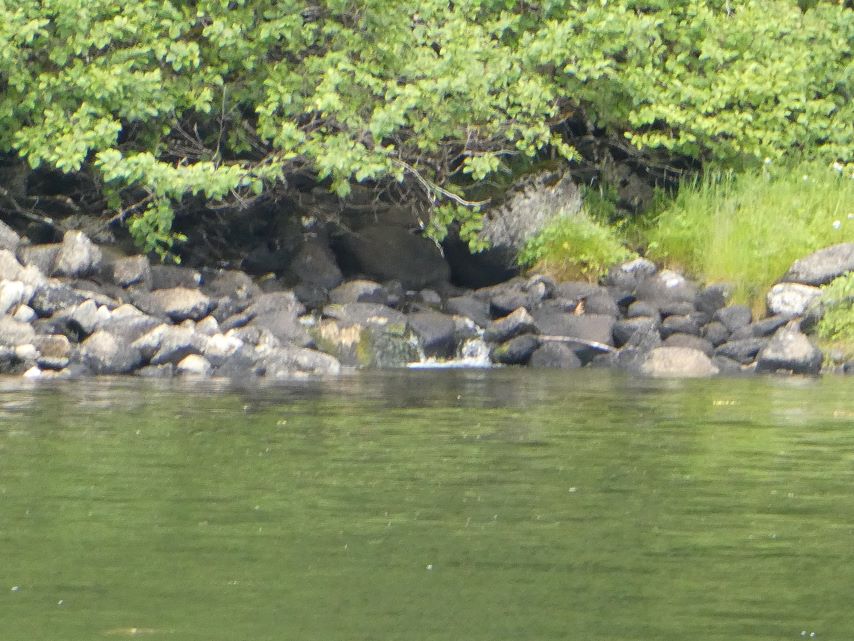
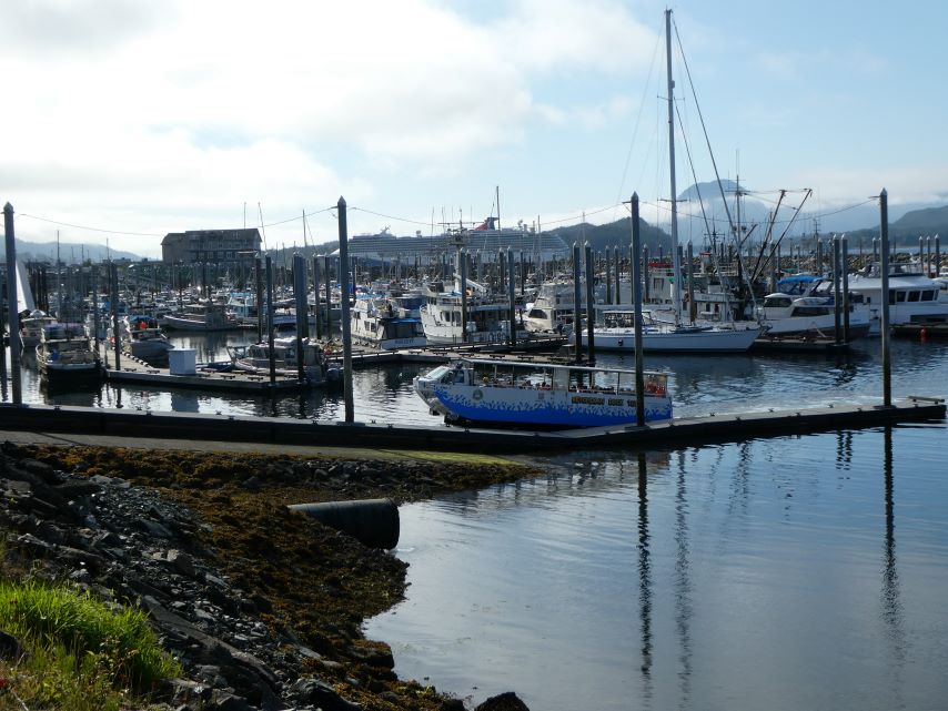
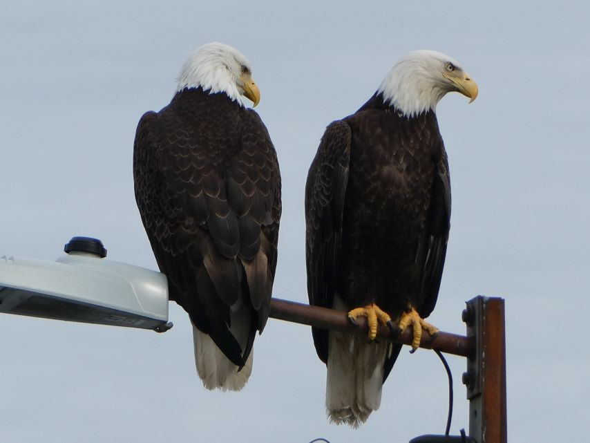
As we were looking though the binoculars to find the entry to Santa Anna Inlet, we saw the whale emerge six times to give a mighty blow, then it presented us with its magnificent tail, dove down and we did not see it again. Entering Santa Anna Inlet, we selected our anchoring spot and were preparing to drop anchor when we saw our first bear of the trip. The bear was taking a rest on the grassy bank and by the time we had anchored it was gone.
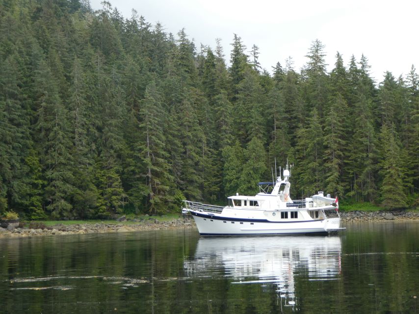
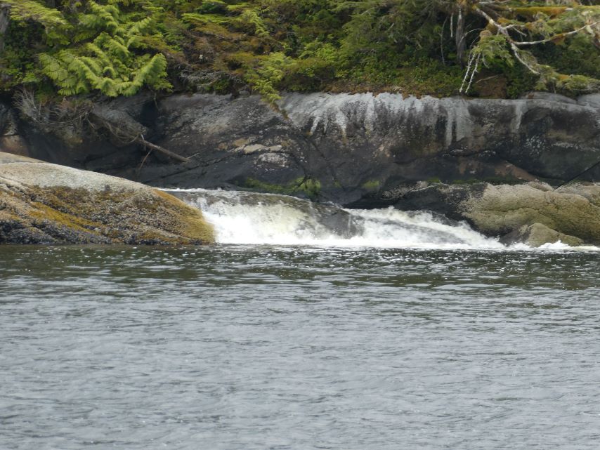
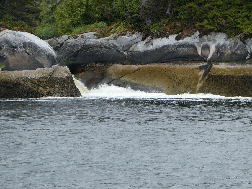
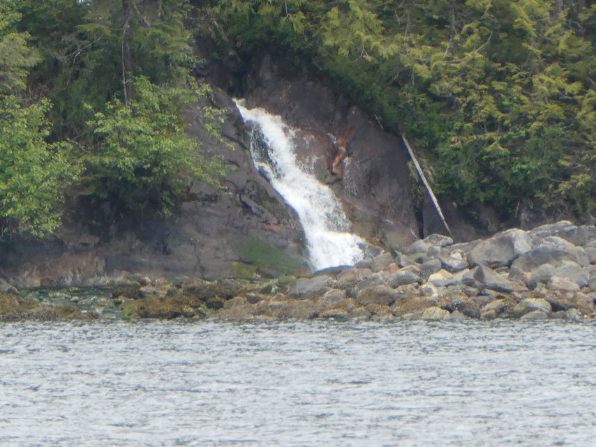
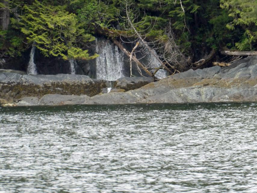
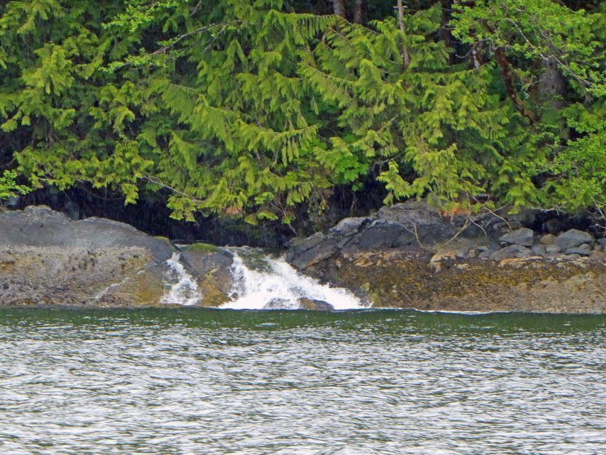
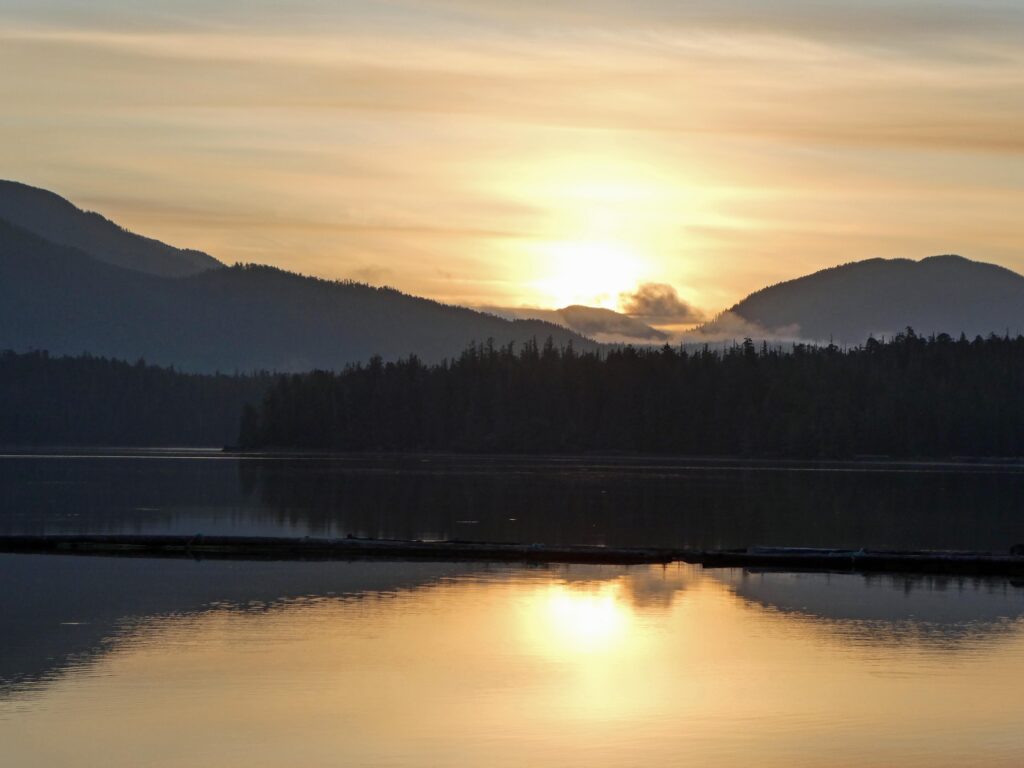
The lovely sound of a waterfall filled the evening. The only visual sign of the waterfall was a small brook that emerge at the edge of the inlet. As we were enjoying our evening on the flybridge Sella Luna entered the bay and anchored for the night.
Tomorrow we are headed to Wrangell, AK. Wrangell is one of the oldest towns in Alaska and the only Alaska town that has existed under three flags and was ruled by four nations: Tlingit, Russia, England, and the United States.
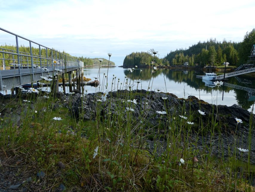
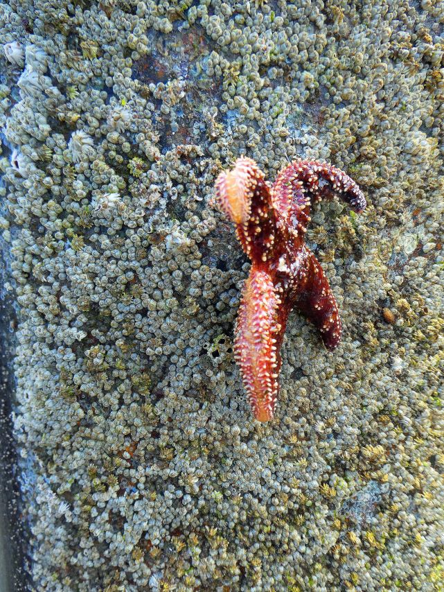
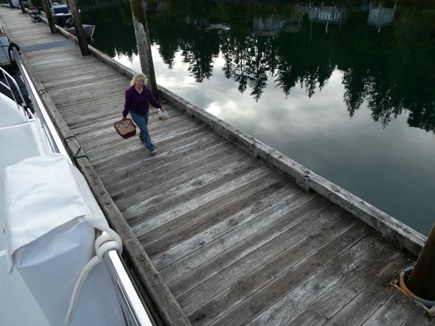
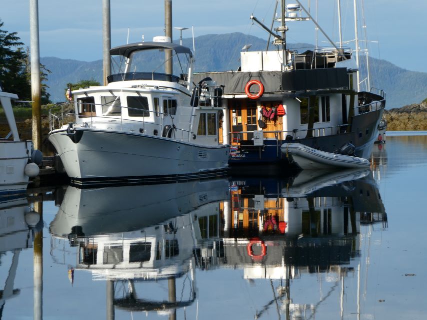
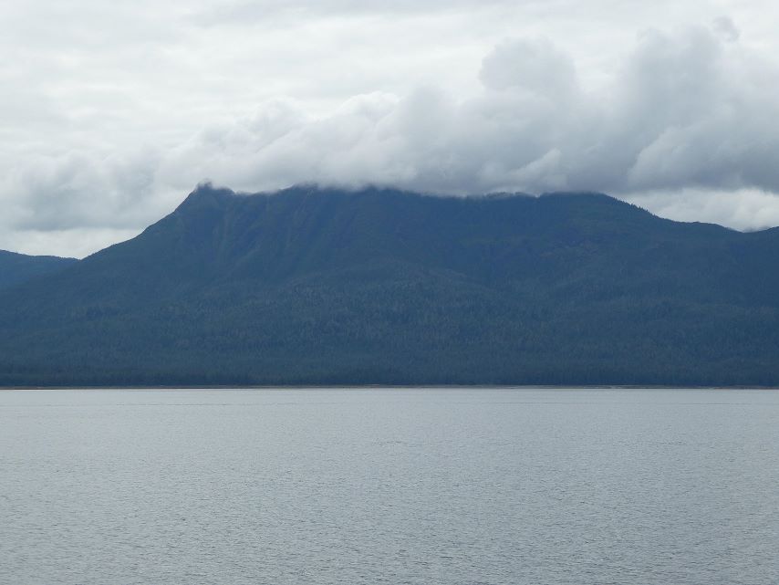
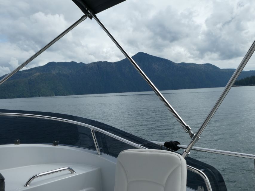
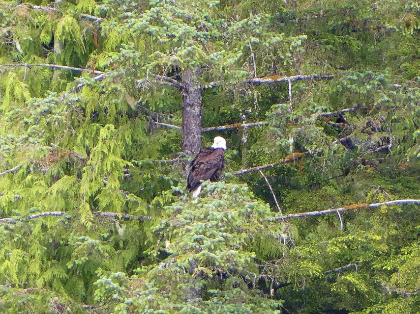
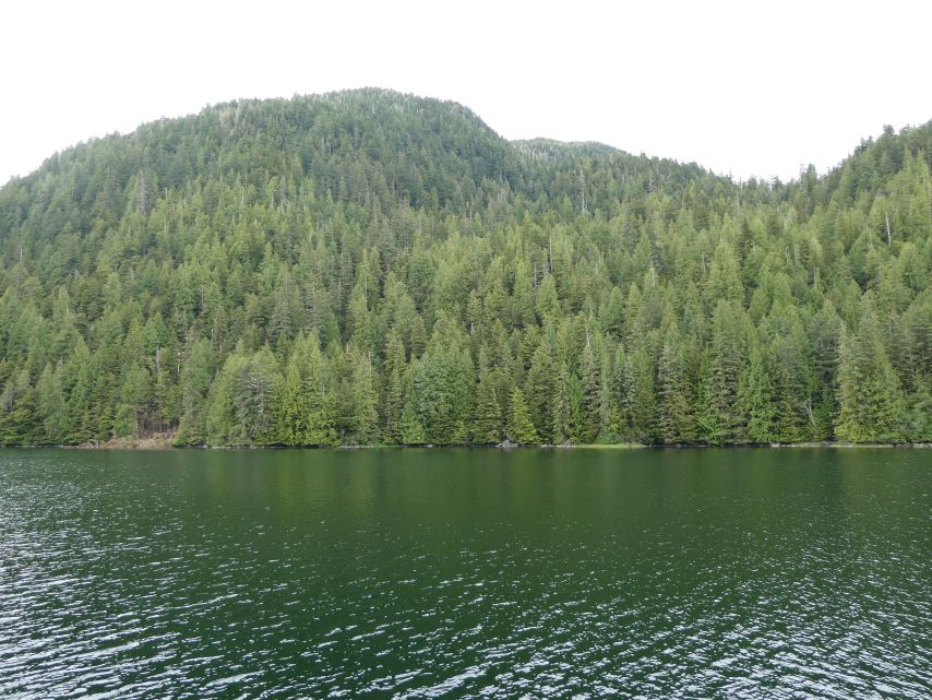
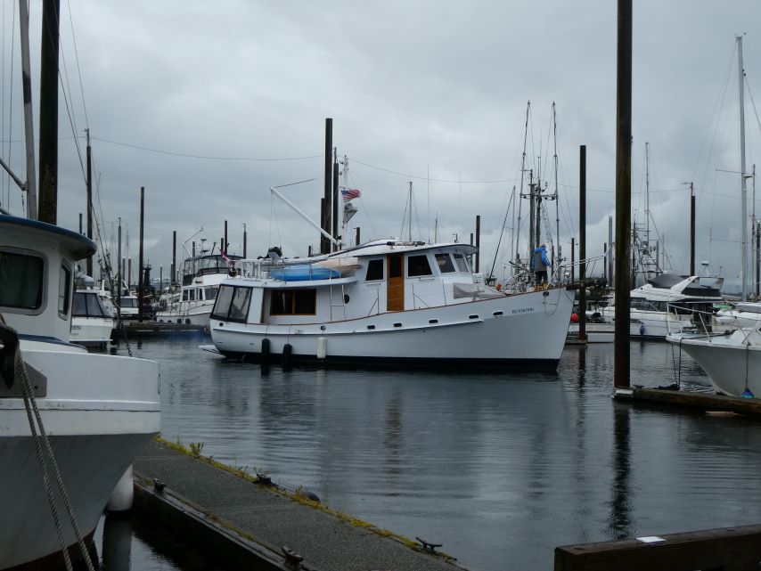
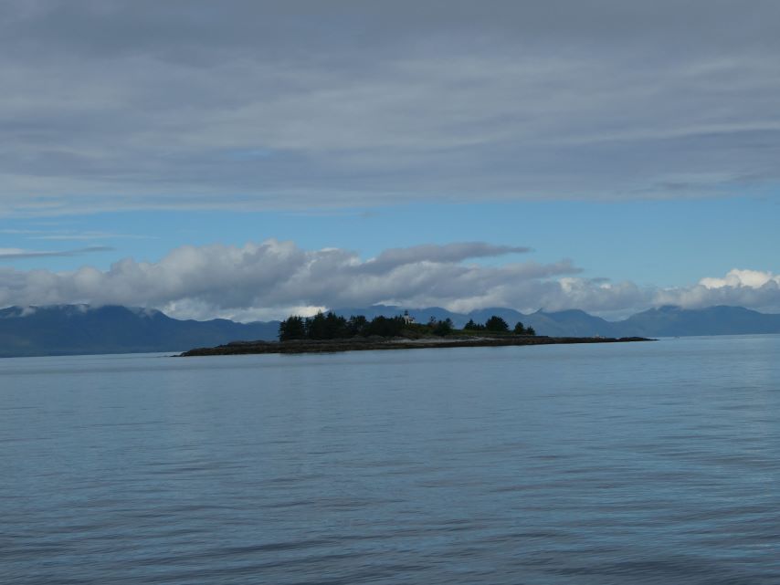
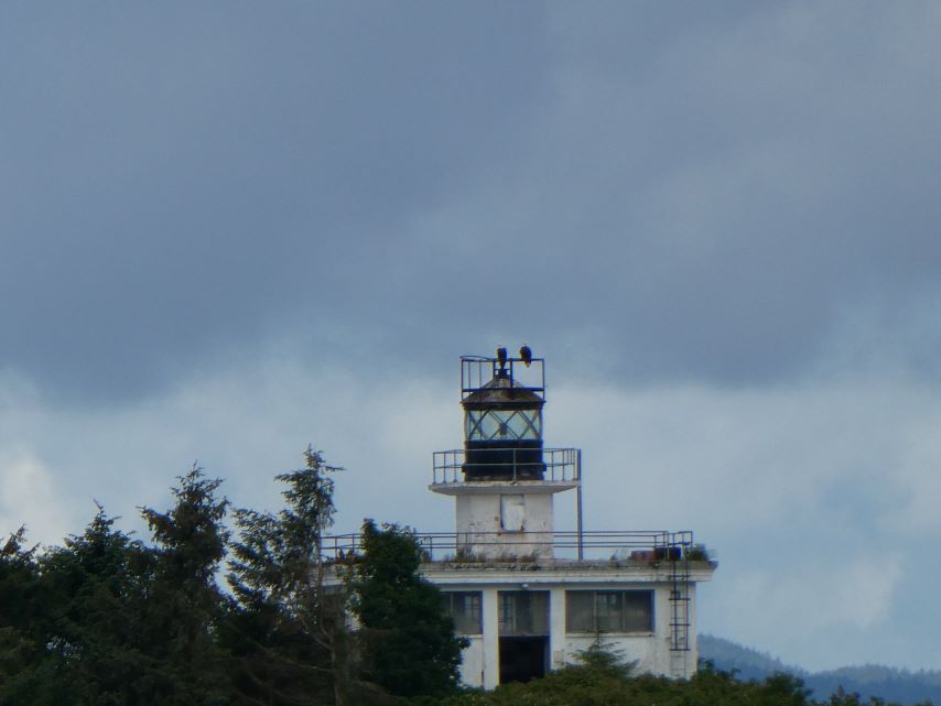
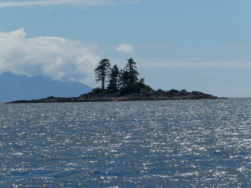
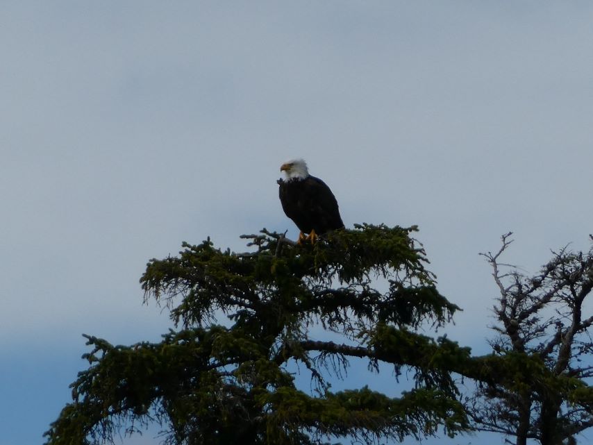
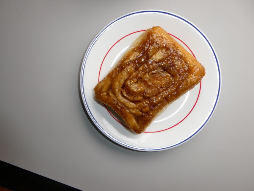
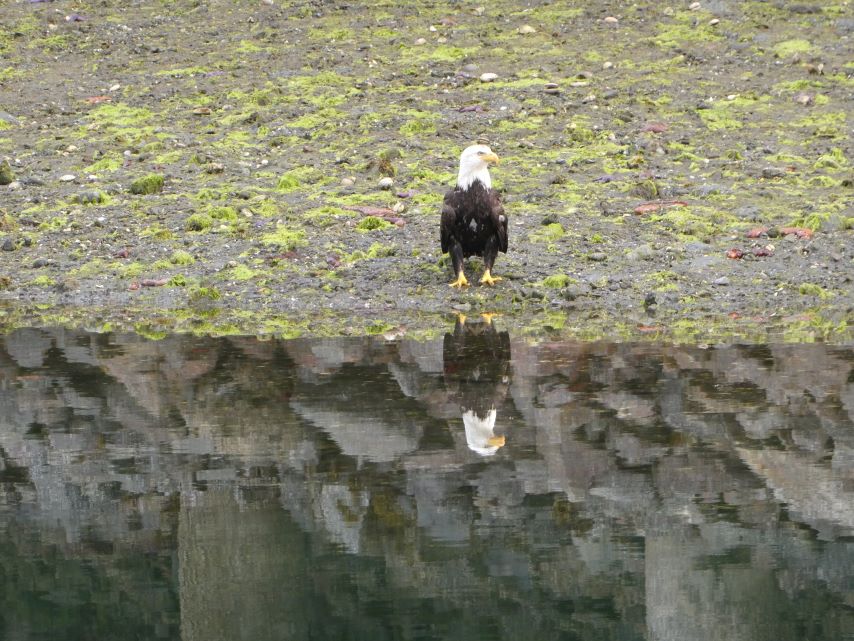
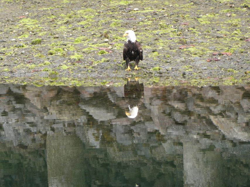
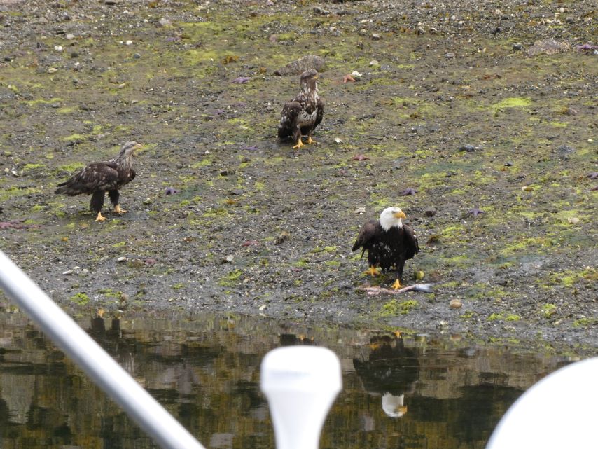
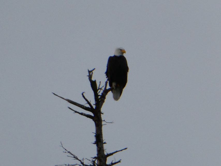
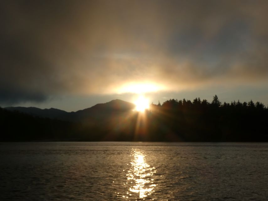
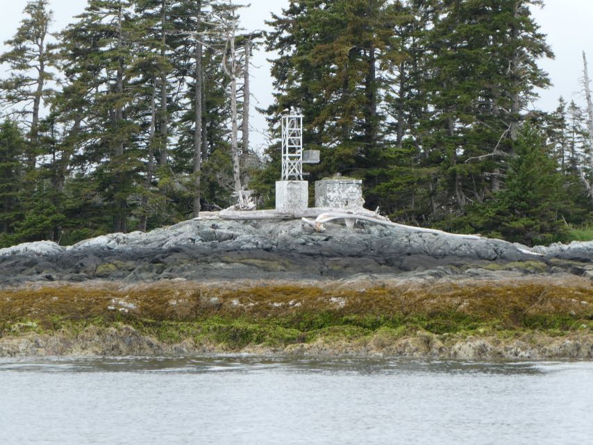
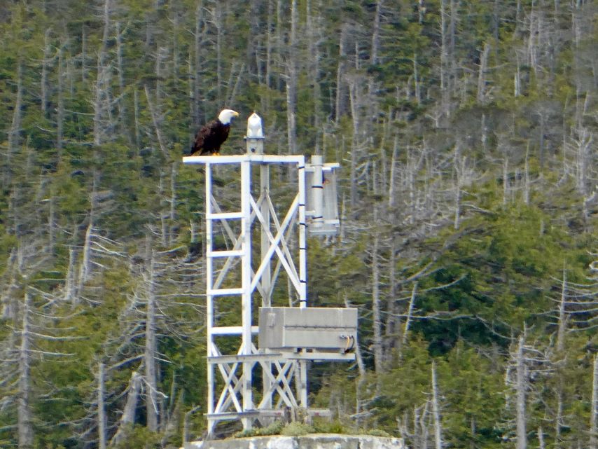
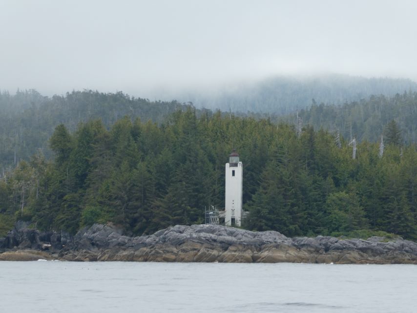
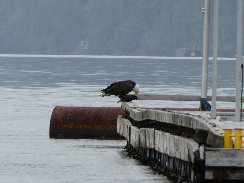
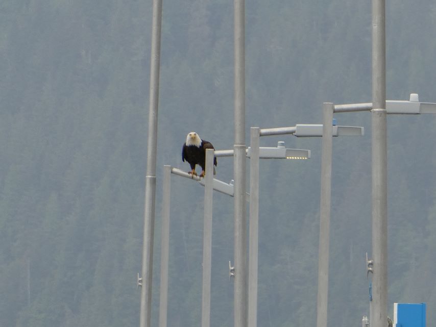
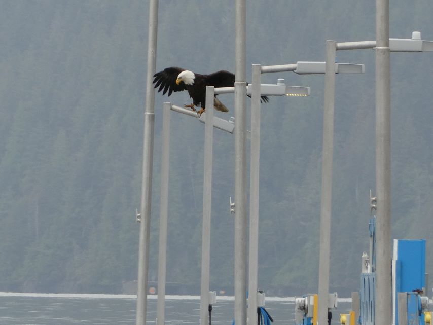
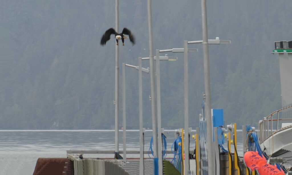
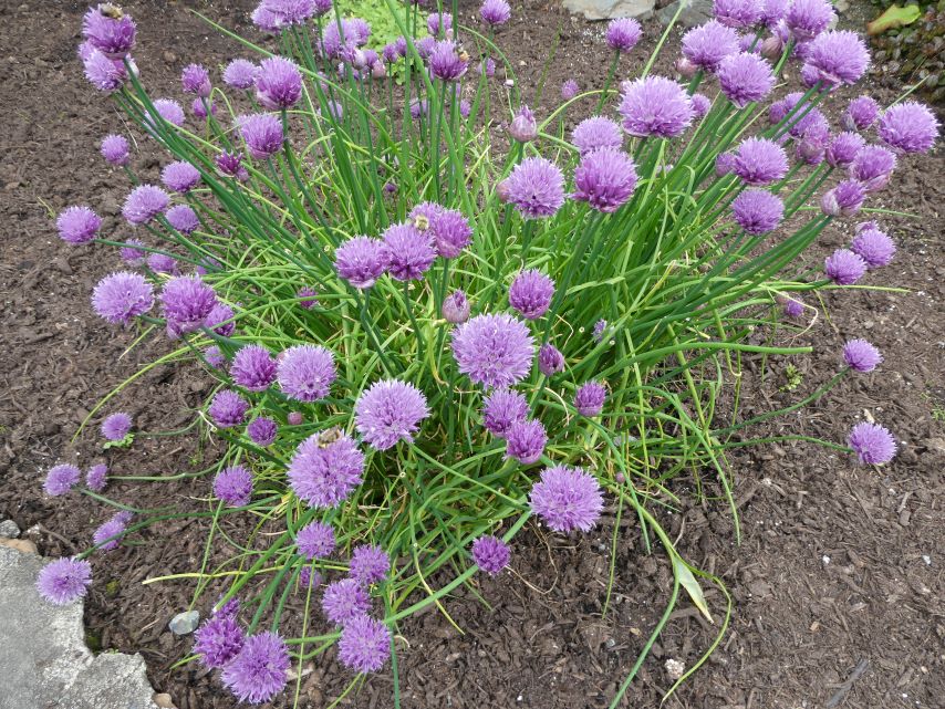
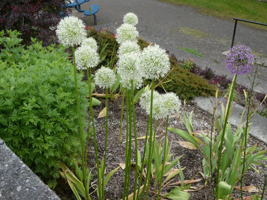
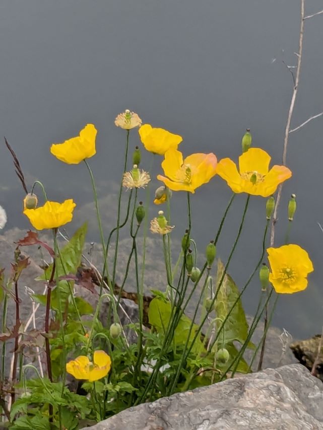
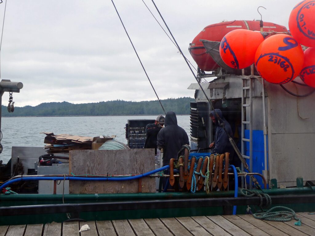
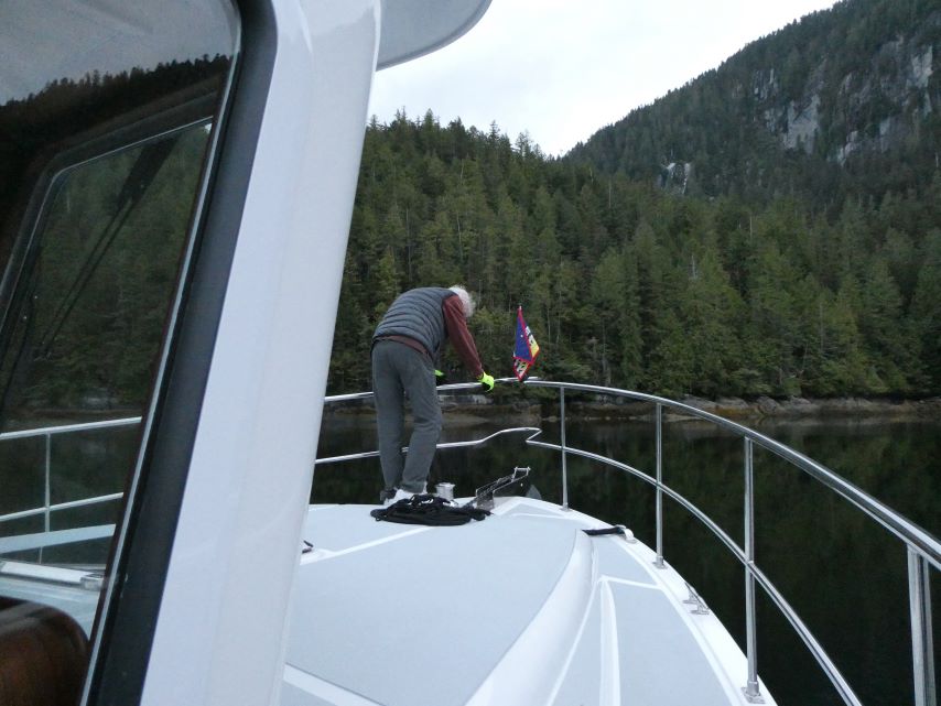
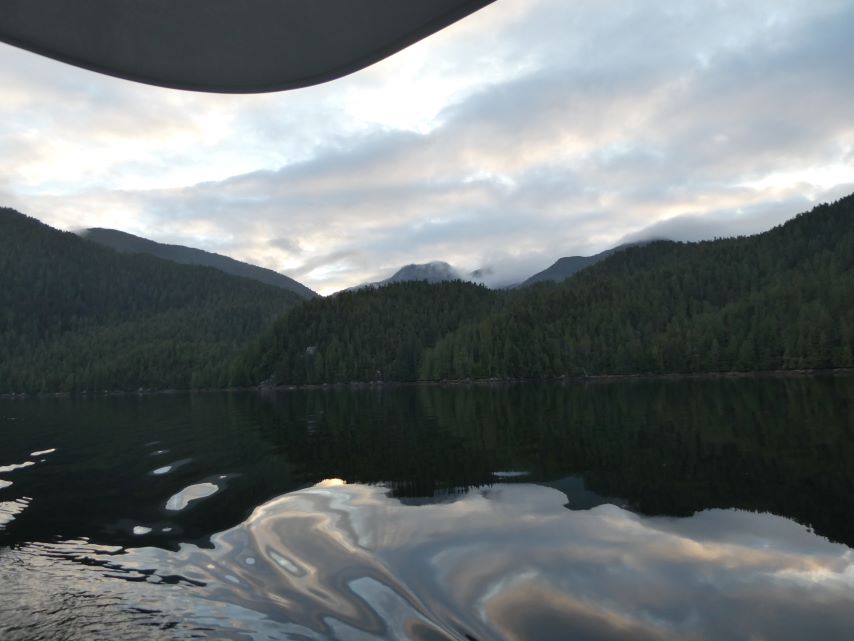
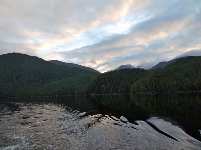
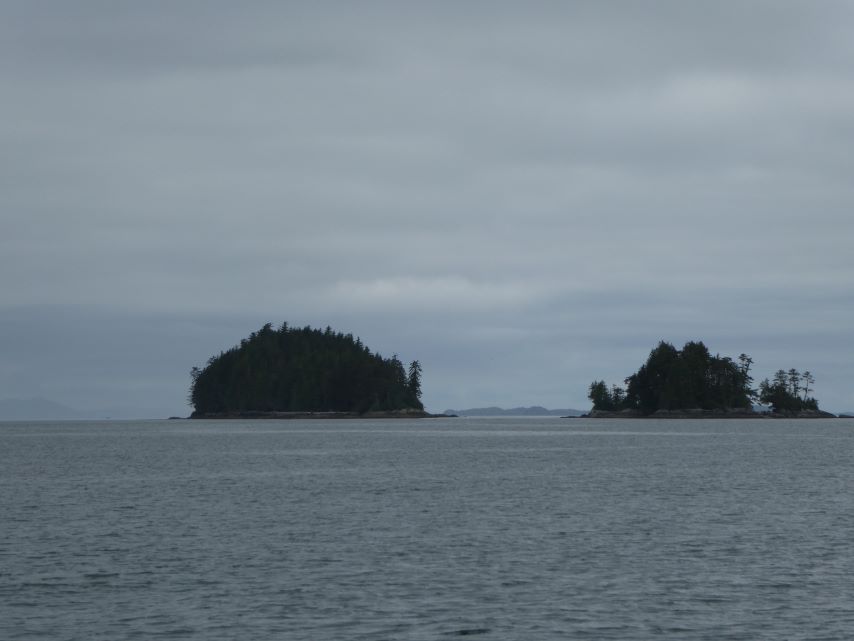
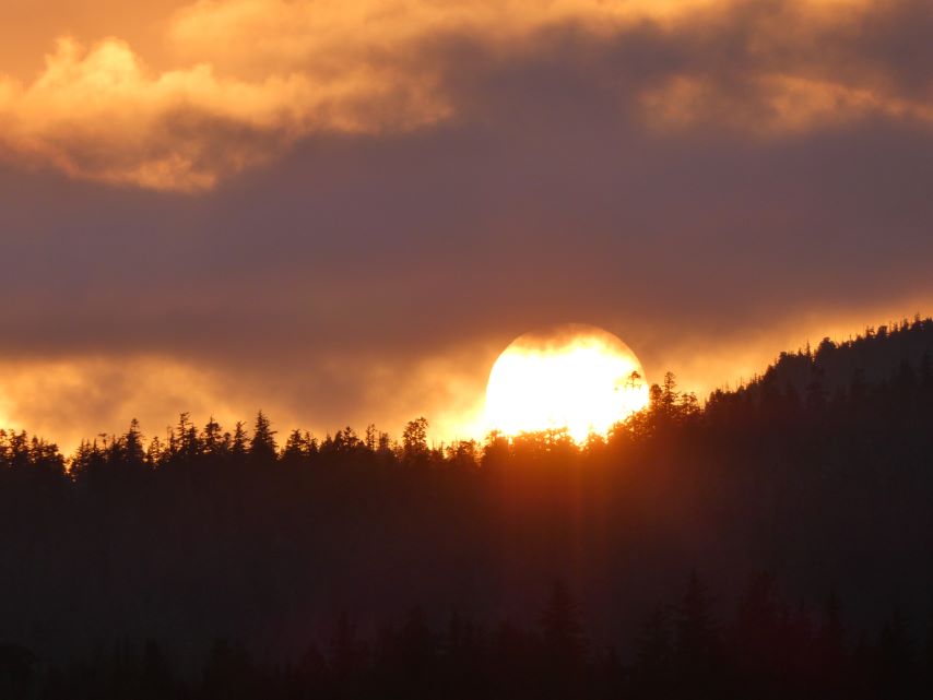
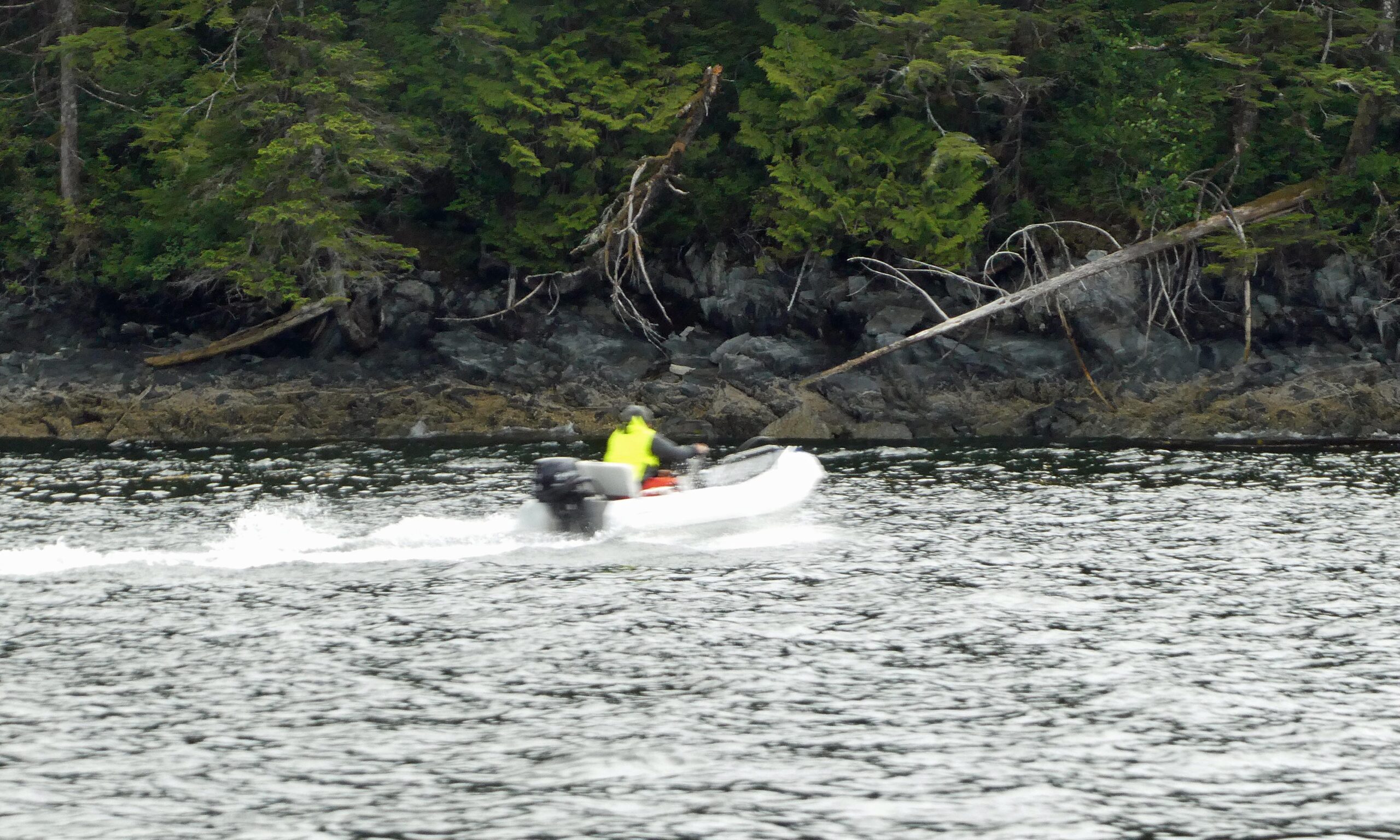
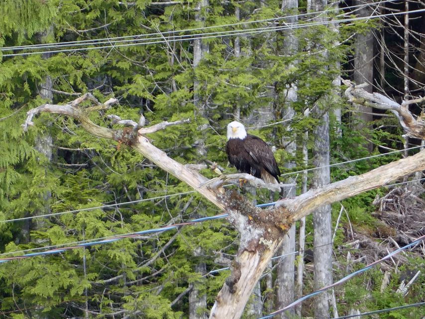
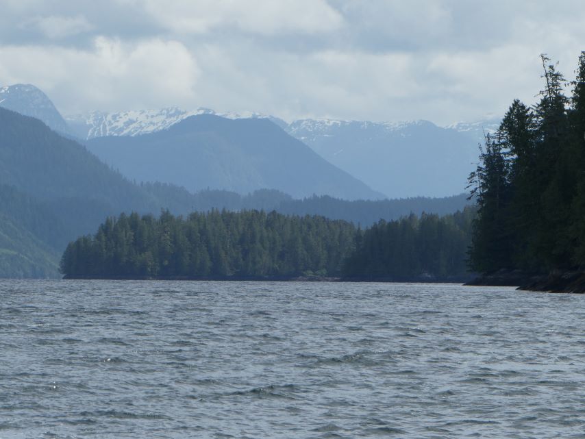
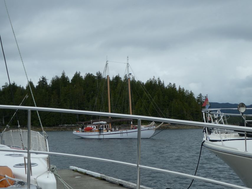
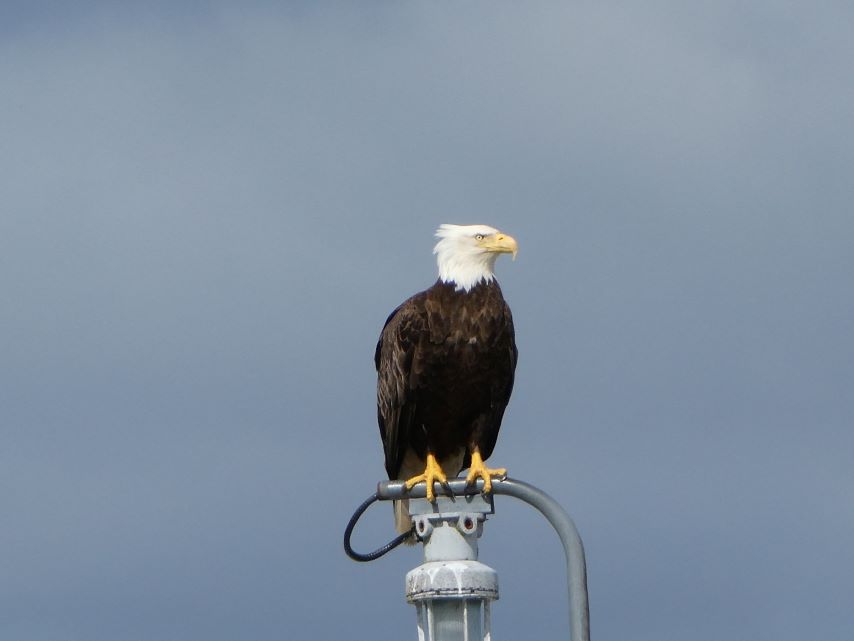
SunriseSouthwest Side of Meyers Chuck East Side of Meyers Chuck DaisiesTidal Grid StarfishCassy Delivering Cinnamon BunsParadigm Lost and Alaska Odyssey Preparing to LeaveAlaska Odyssey Ludlow, WAEagle Watches as we enter Clarence StraitClouds Hung Low Over the MountainsEnjoying the views from the FlybridgeEnjoying the views from the FlybridgeEnjoying the views from the FlybridgeWatching us Arrive at Santa Anna InletSanta Anna InletSanta Anna InletSanta Anna InletSanta Anna InletSharing the Anchorage with Stella LunaSanta Anna Inlet flows into Seward Passage
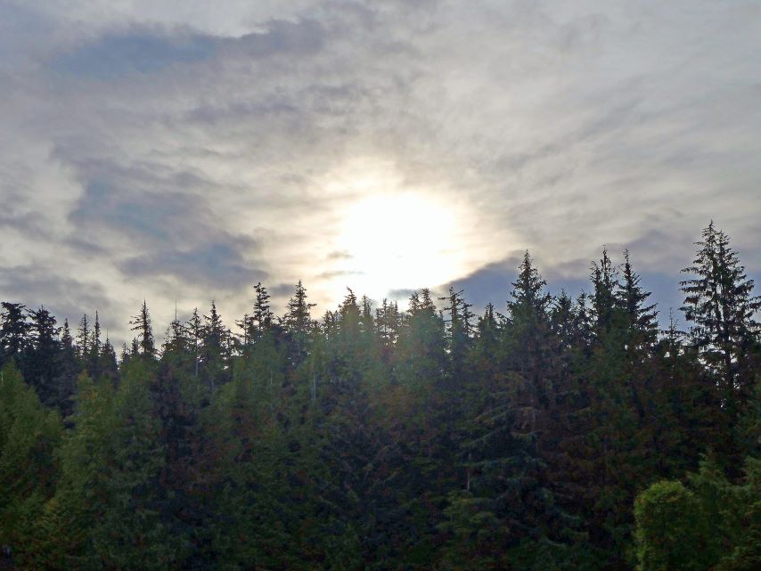
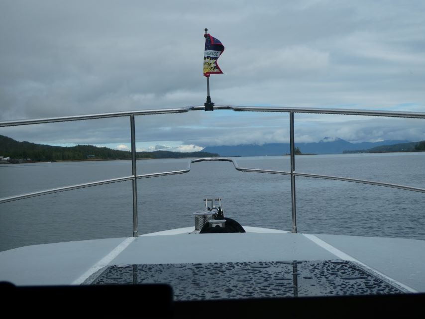
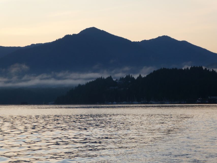
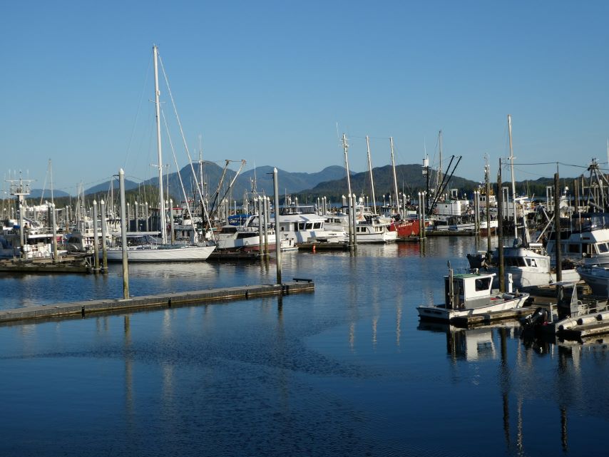
Beautiful day on the water. Leaving Tongass Narrows we entered Clarence Strait and made our way to Meyers Chuck. The waves were 2-3 feet with winds from 10-15 mph. Since the waves were on our stern the ride was comfortable. The rain stayed in Ketchikan and the gray skies turned to blue with lovely white clouds.
KallistoLeaving KetchikanRuby PrincessBeautiful IslandHeaded for the Blue SkyGuard IslandGuard Island LightShip Island Light
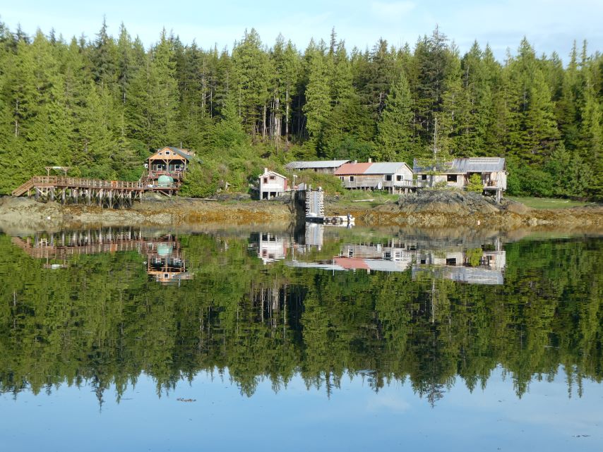
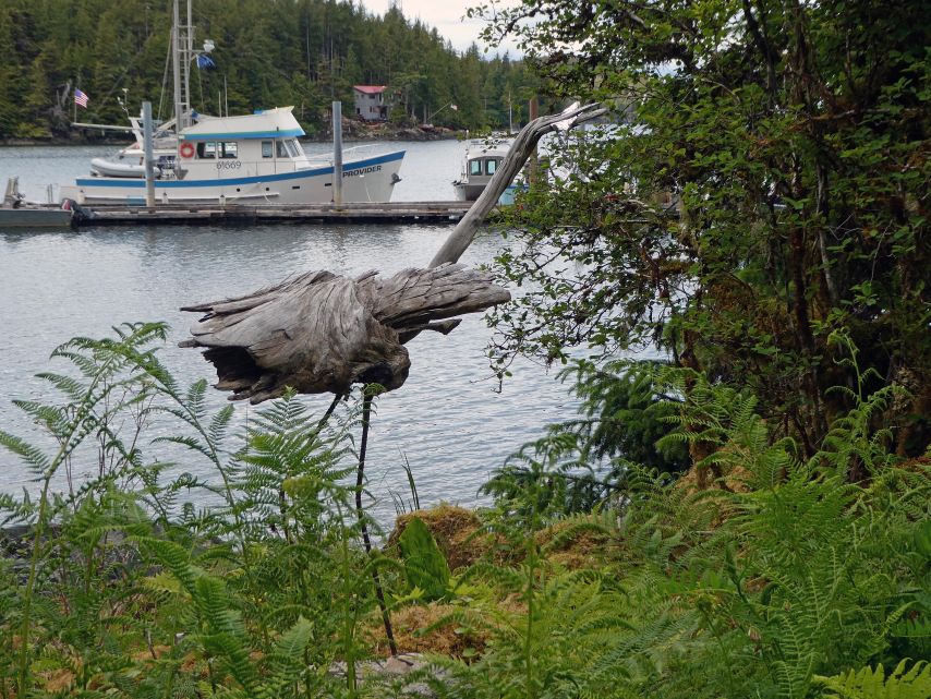
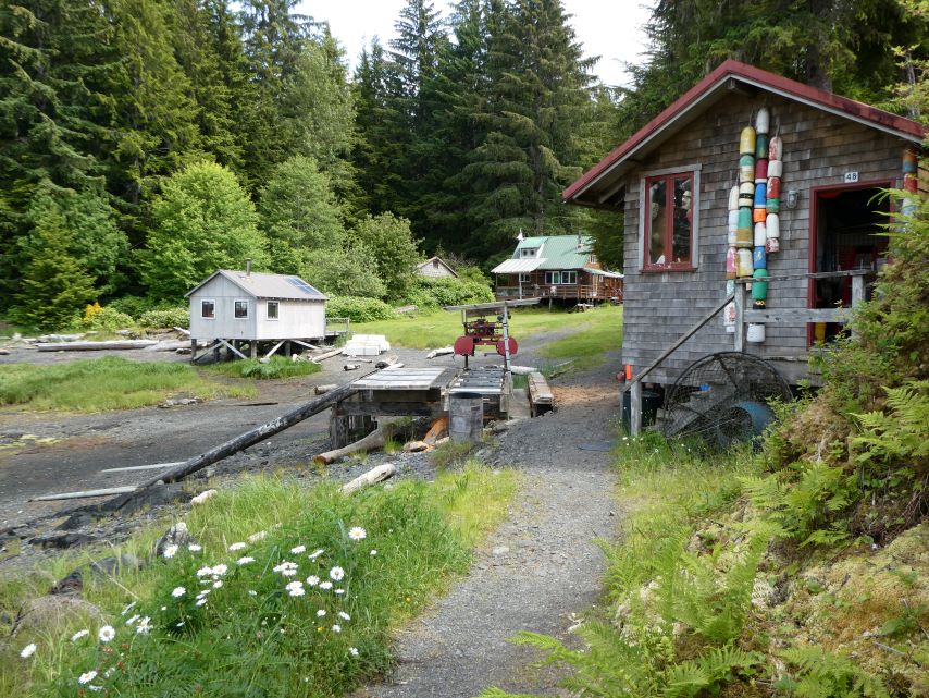
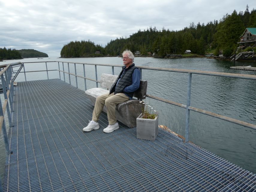
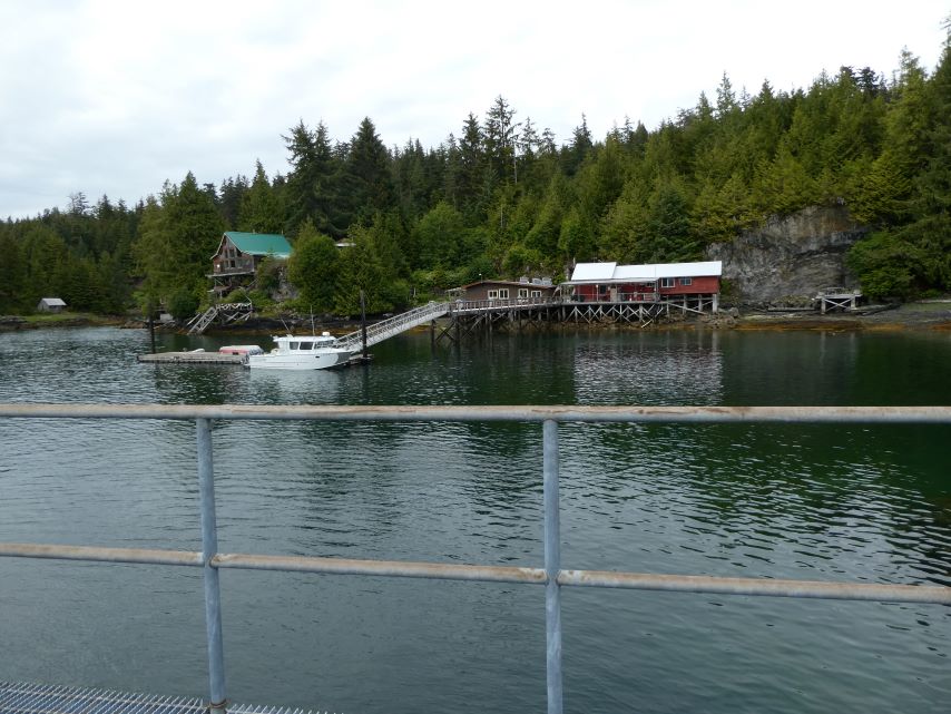
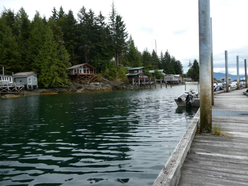
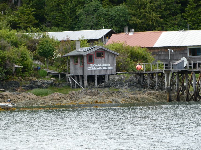
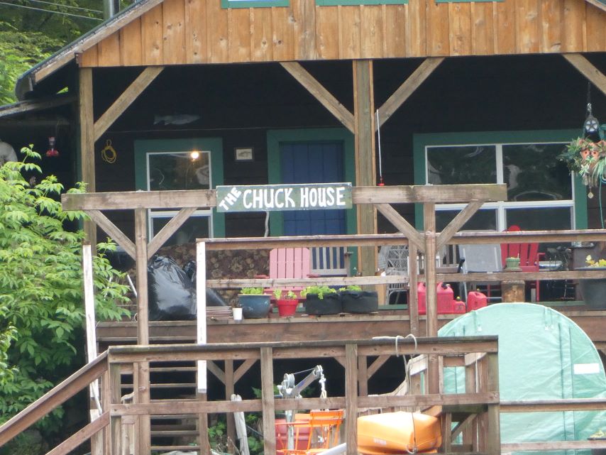
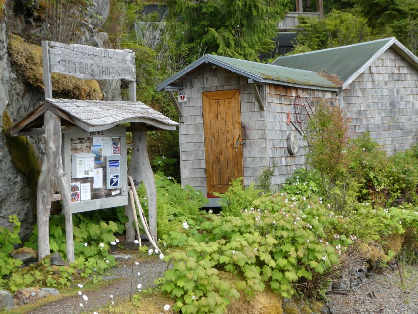
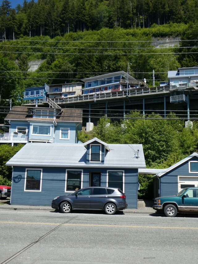
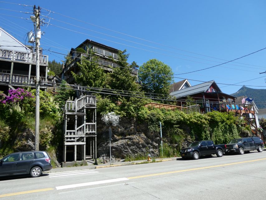
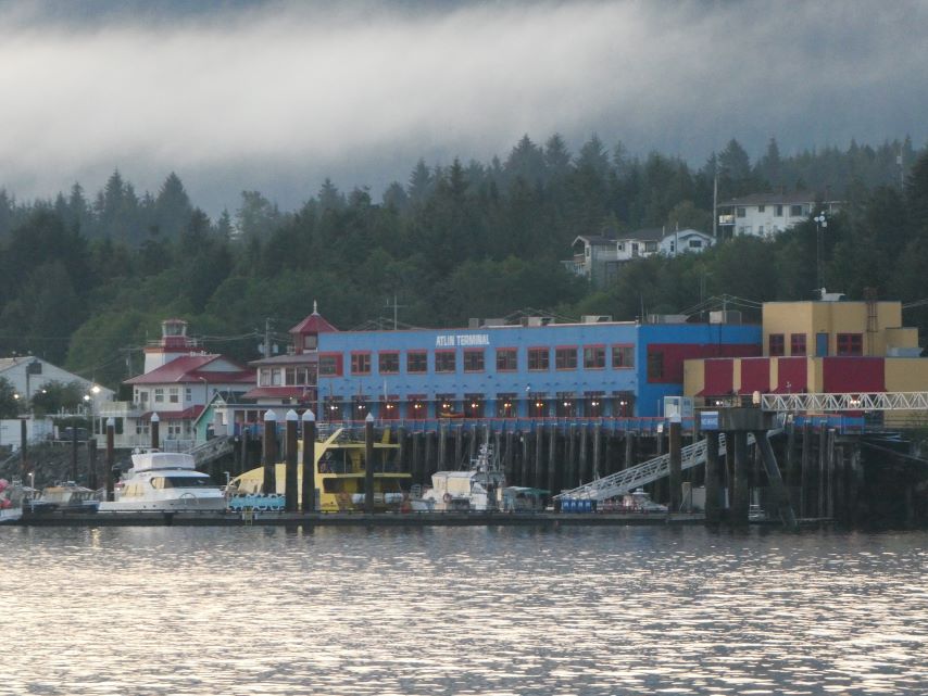
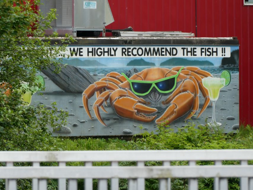
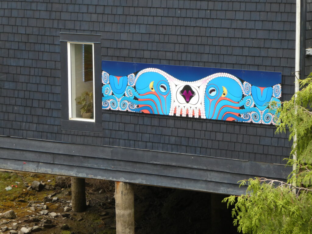
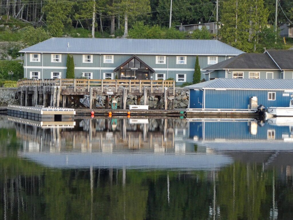
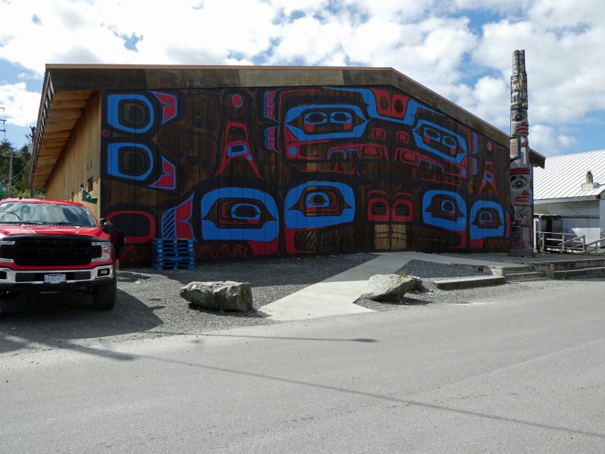
Meyers Chuck is a very small fishing settlement with about fifty houses with less than two dozen year around residents. It has been a welcome change from the hustle and bustle of Ketchikan. The settlement sits at the edge of a rain forest and the forest trails have hidden gems of sculptures and art work. There is no grocery store or restaurant but if you are in the need of cinnamon buns or cookies you can call Cassy by 8:00 pm and she will deliver them to your boat by 7:30 the next morning. If you want some excellent Homemade Sourdough Bread call Carrie.
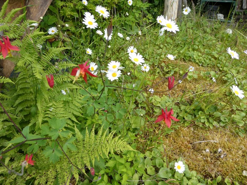
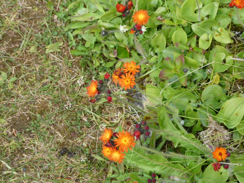
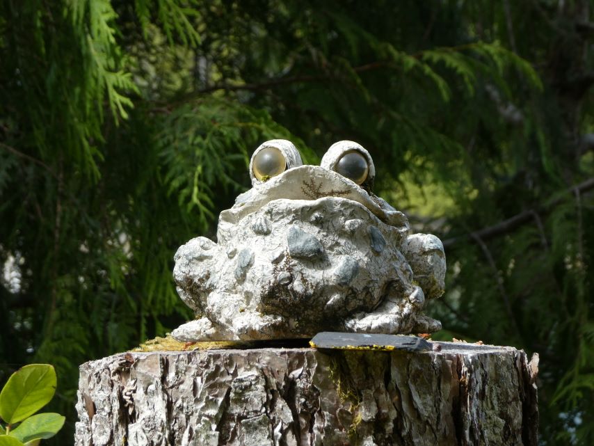
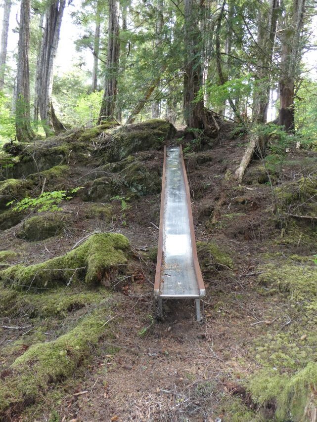
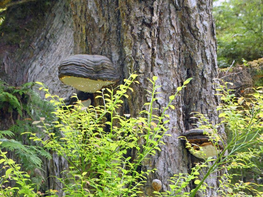
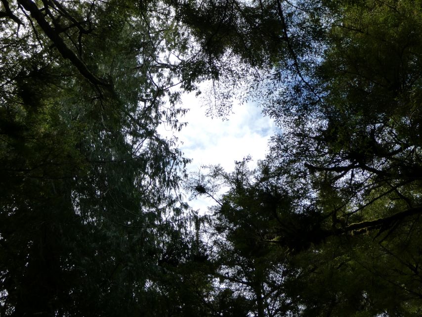
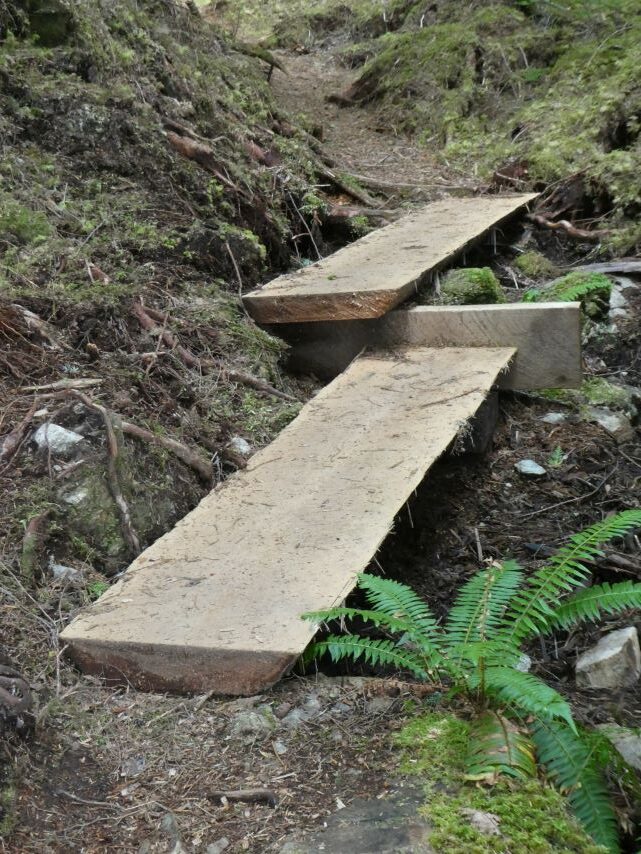
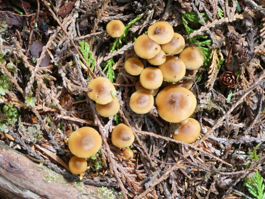
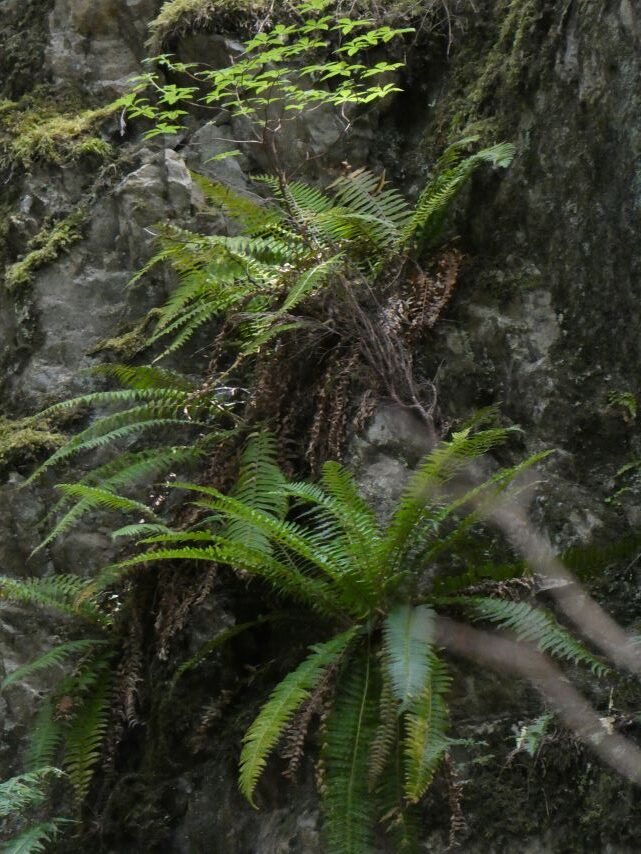
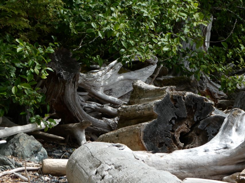
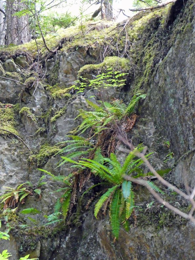
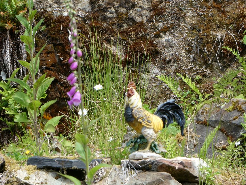
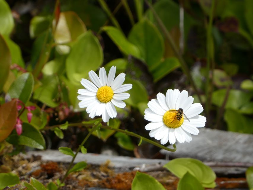
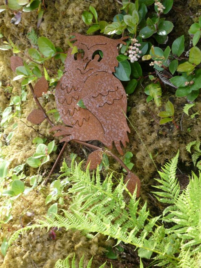
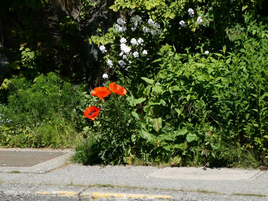
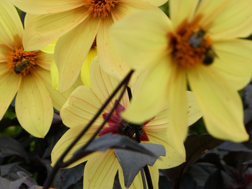
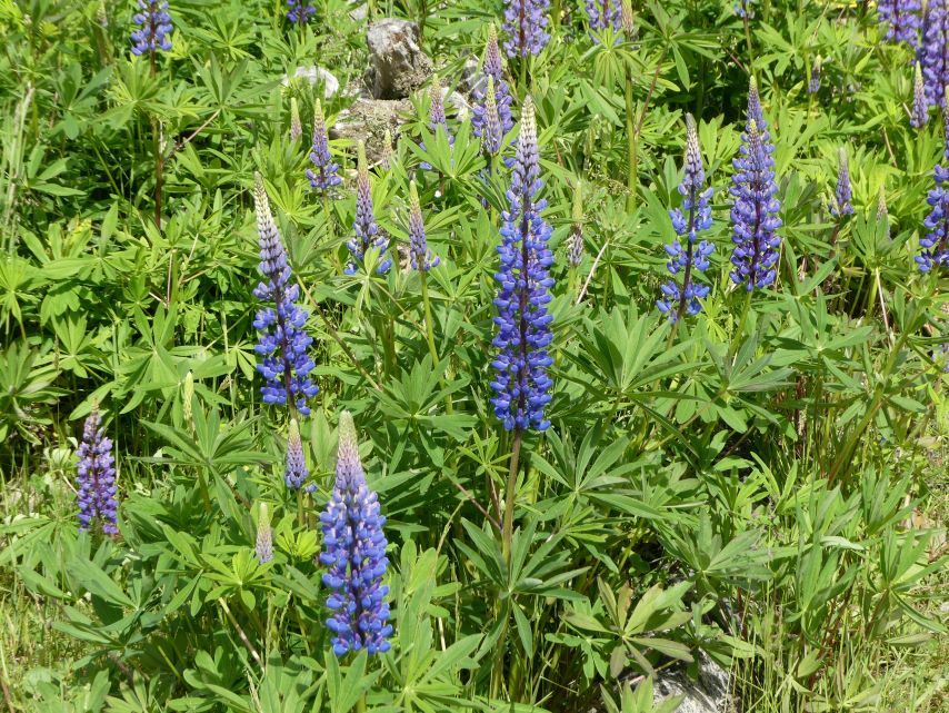
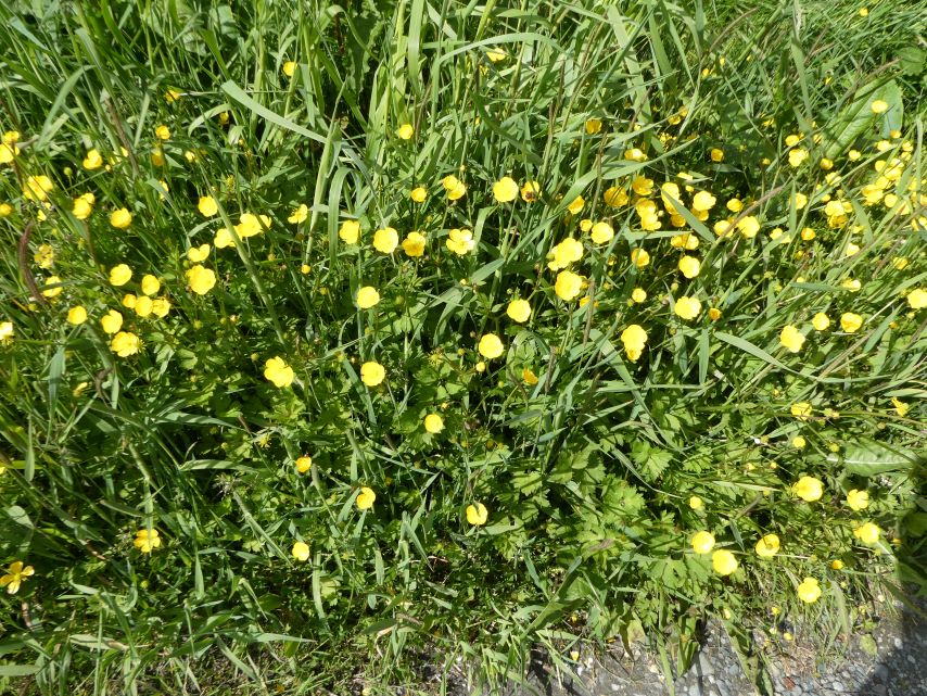
Entry to Meyers ChuckHeron SculptorWildfowersWildfowersWildfowersMr.FrogForest SlideWild MushroomsSky OpeningPortable SawmillLocally Made Planks for the Forest TrailsMushroomsKeeping WatchBeachFernsDriftwoodFernsRoster SculptorBumblebeeMs. OwlAround the BayAround the BayPost OfficeChuck HouseCommunity BB & Fire Station Delicious
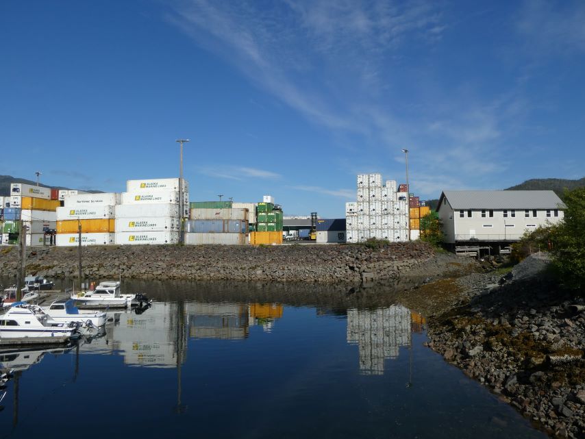
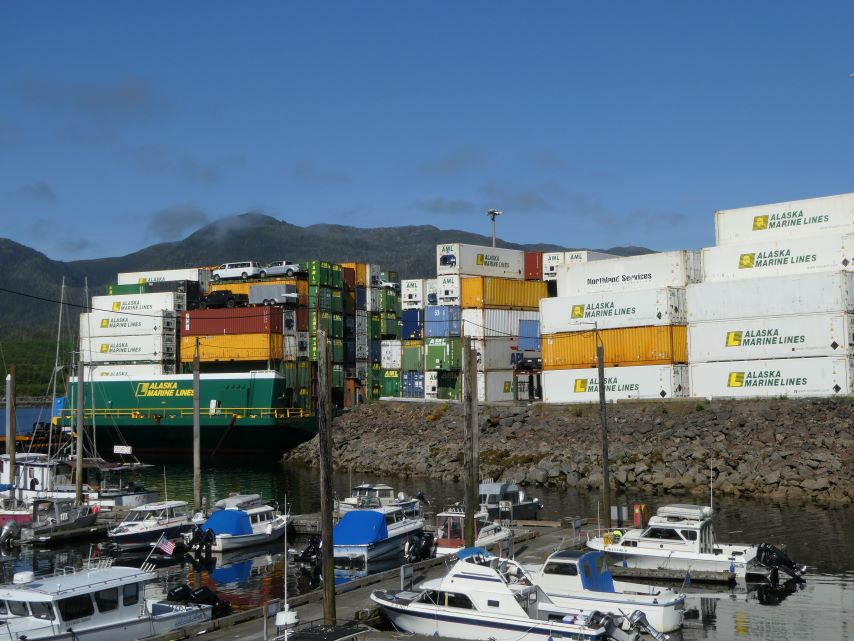
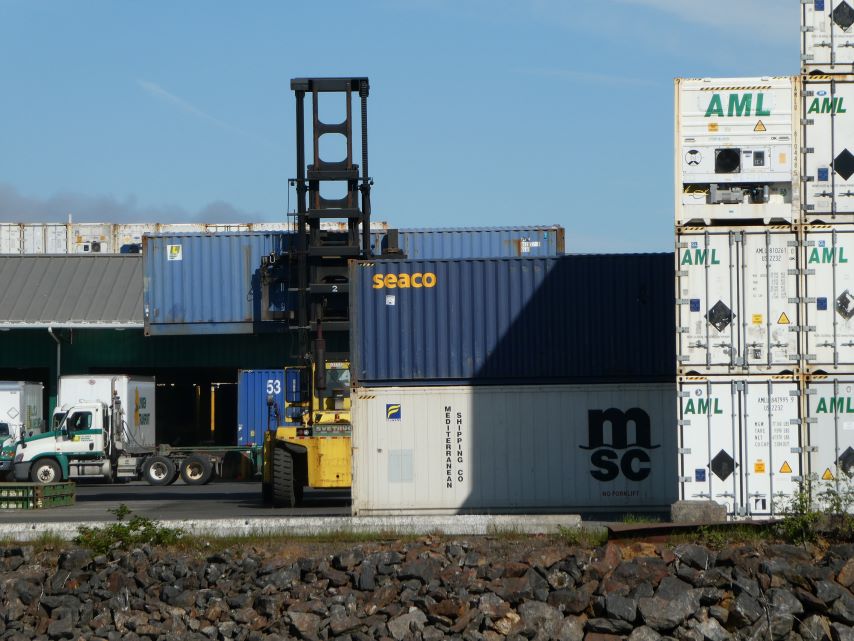
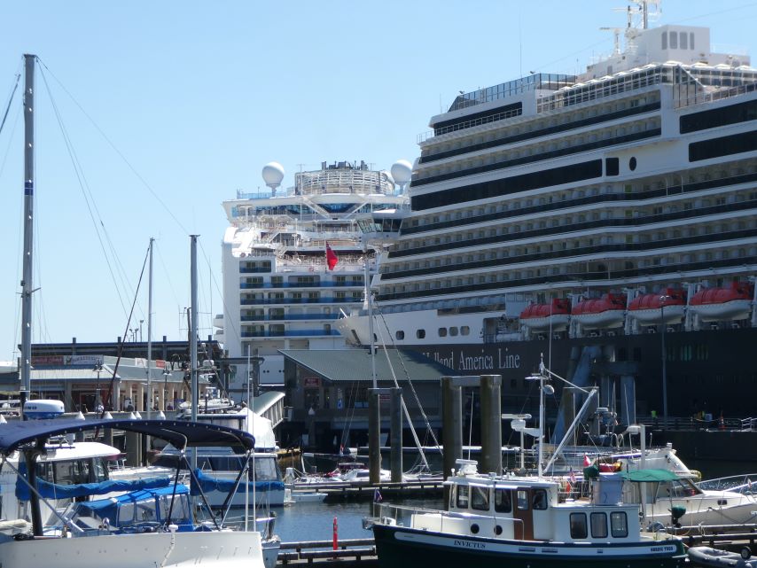
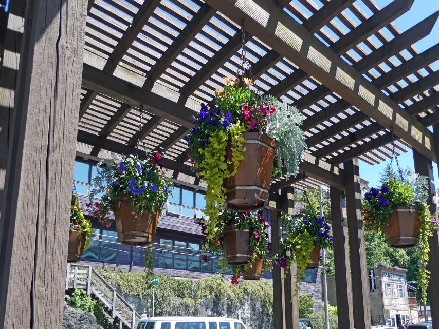
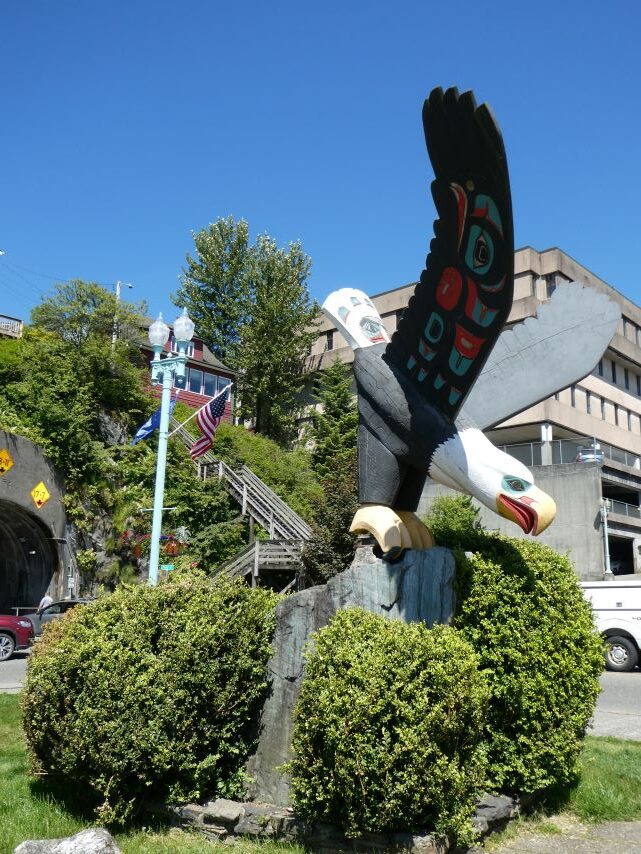
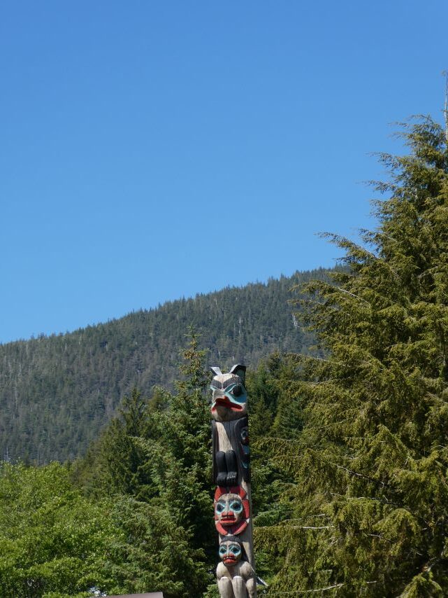
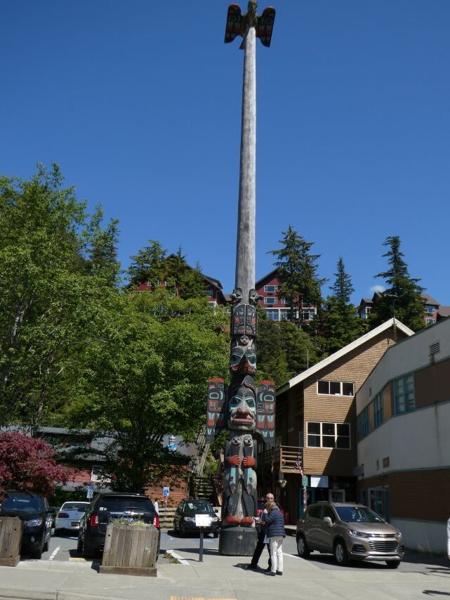
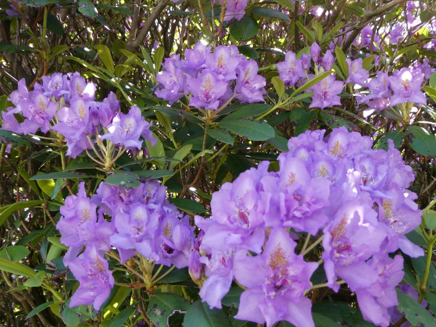
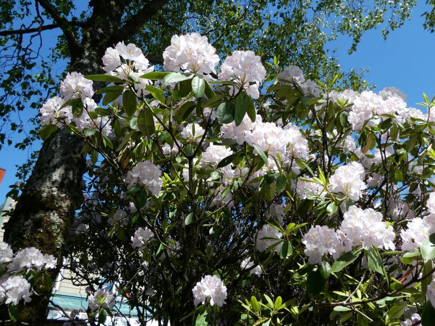
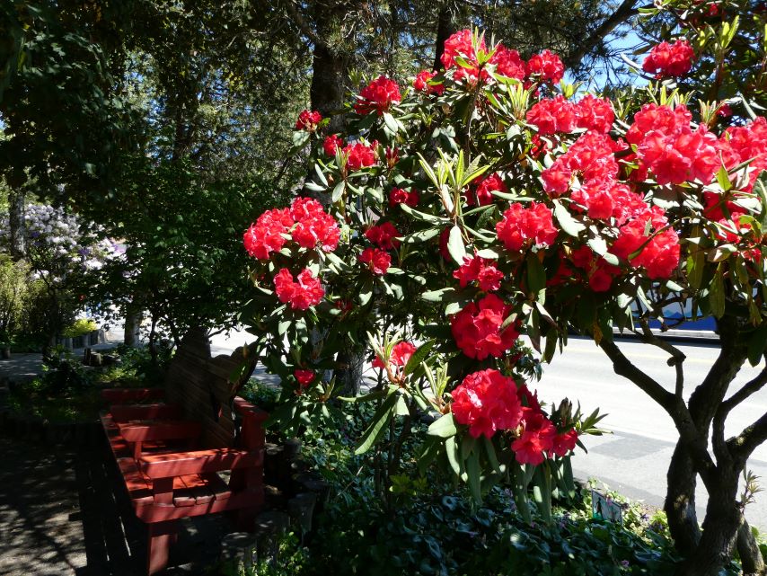
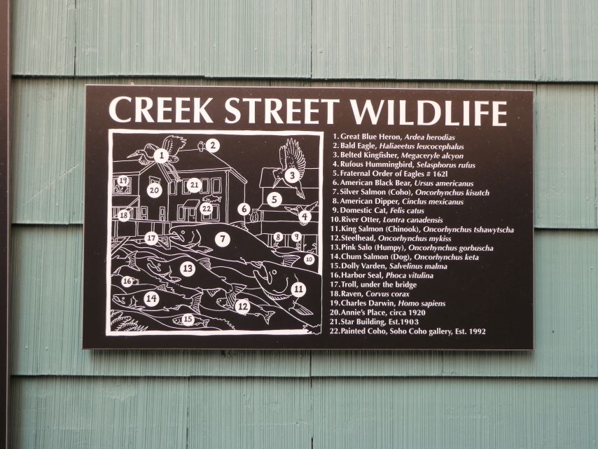
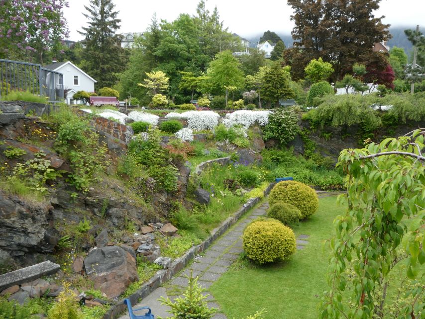
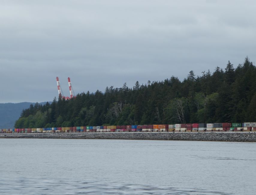
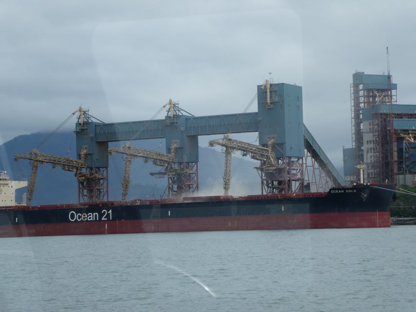
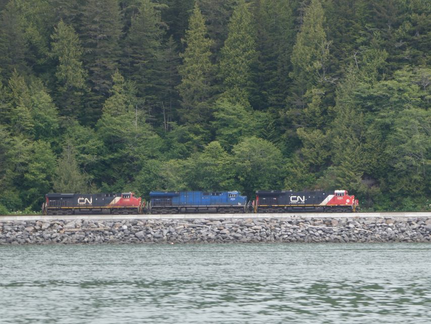
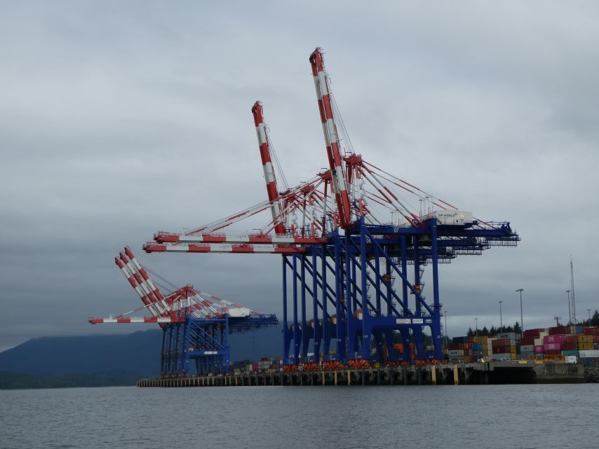
Paradigm LostEarly Morning Take-offKetchikan Duck TourPort of KetchikanCargoLoading TrucksWalk into TownWalk into TownWalk into TownSaphire PrincessHolland American LinesWaterfront PomenadeHarborview ParkDistant TotemTown TotemRhododendron SeasonRed Light District in early 1900’s Now a quaint areaUse to identify wildlife in attached picture.Views from aboveSea Life
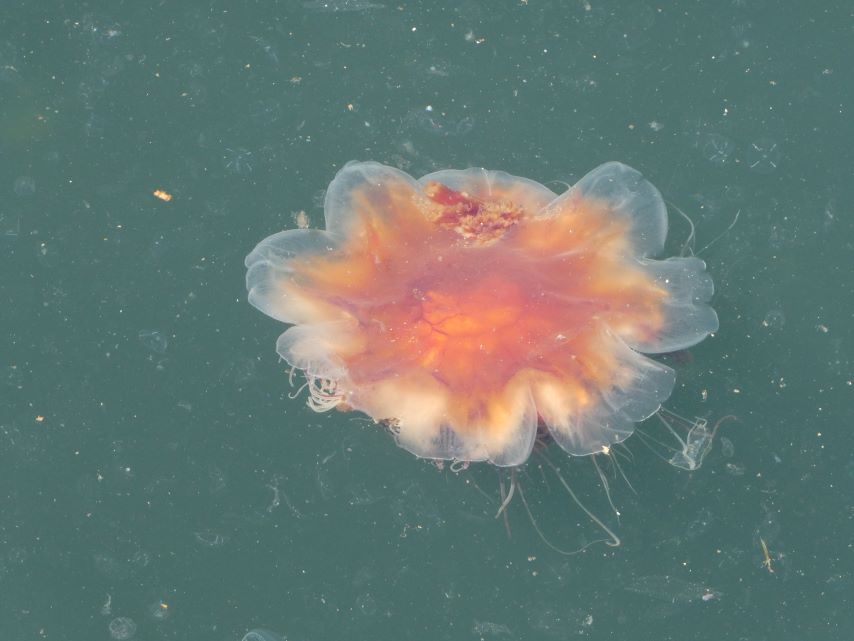
Beautiful Jellyfish
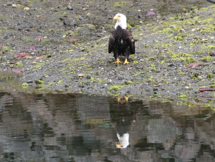
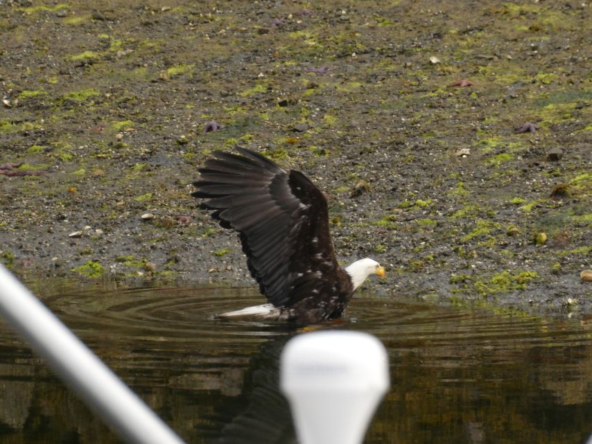
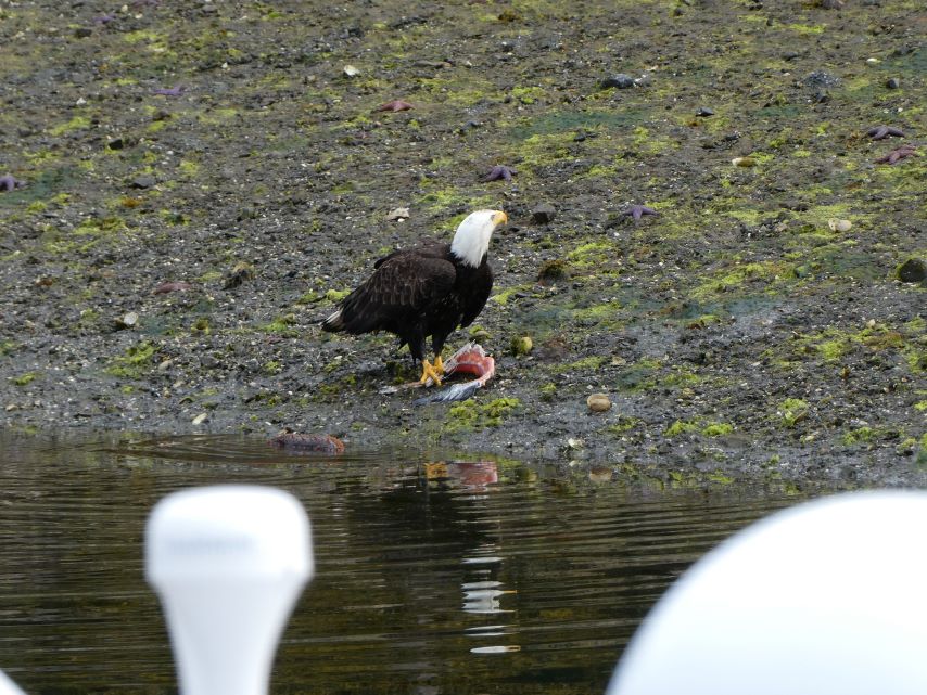
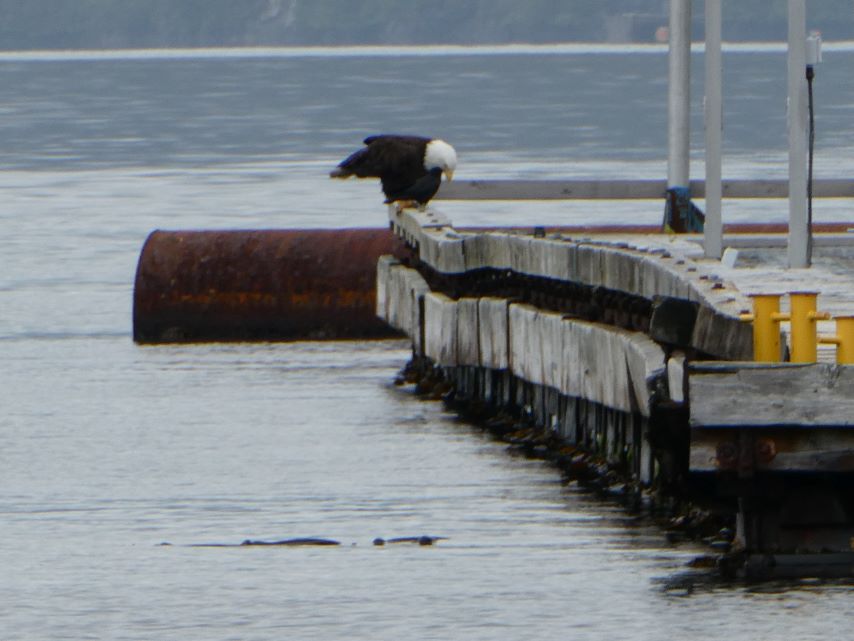
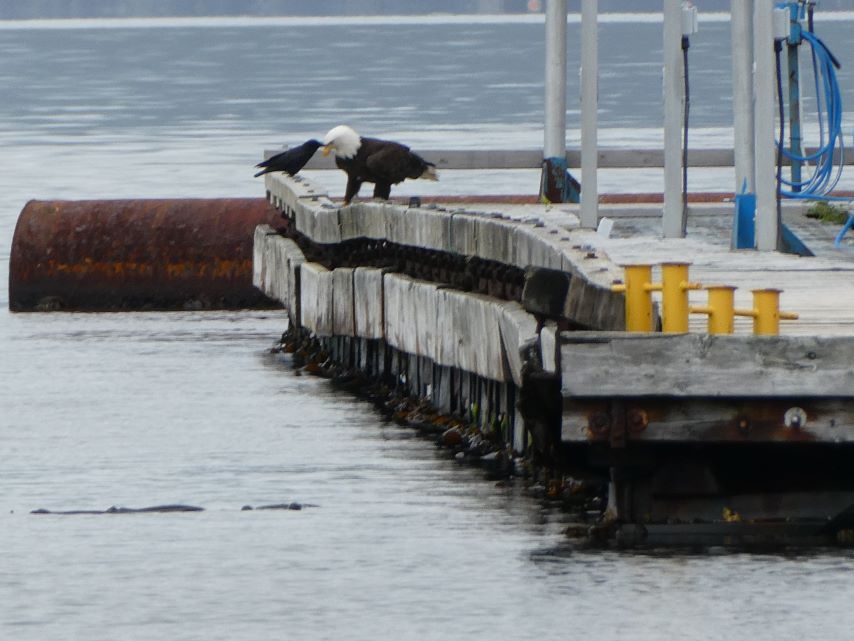
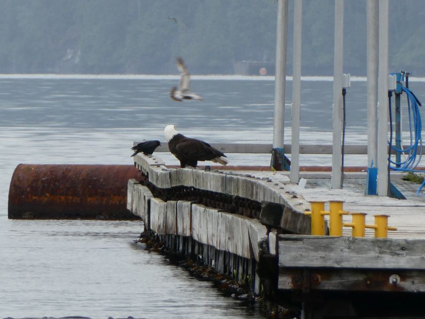
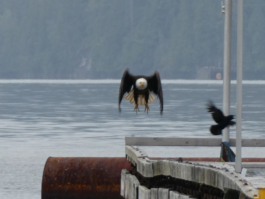
Ready for Morning Breakfast Looks Both WaysCould be a problem, they are calling someone.One More LookLands in the WaterGets the FishSomething is WrongStands on the FishHe is Surrounded
Kelly Calvert, one of the administrators for the “Boating the Inside Passage to Alaska” on Facebook wrote an article about “Gates of the Inside Passage” that was of interest to us.
Gates Of The Inside Passage by Kelly Calvert:
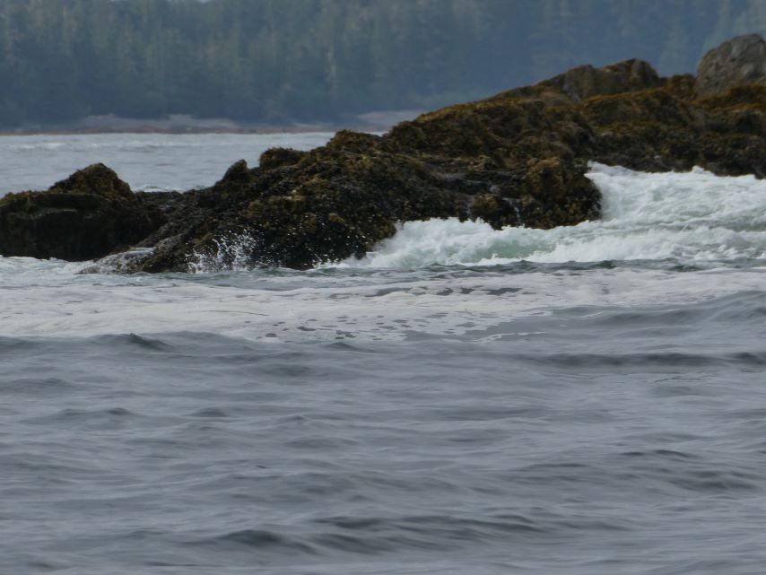
The “Gates Of The Inside Passage” refers to a sequence of navigational challenges along the Inside Passage that can be impassible depending on the conditions. These “gates” consist of either Tidal rapids, or significant bodies of water with ocean swells, high winds, or high currents (or even worse high winds or swell, opposing high currents).
The easiest of the two to plan for are the rapids. BC is home to the fastest tidal rapids in the world (up to around 20kts in some cases). Perhaps even more dangerous than the speed is the turbulence. For example Seymour Narrows, near CampbelI River, forms a 100’ whirlpool on max flood at spring tides that has capsized many boats over the years.
Fortunately, it is very easy to transit the rapids safely by following a very simple rule. Only transit at or near slack water. By “near” I mean plus/minus 15 min on spring tides, and plus/minus 30 min on neap tides. This requires careful planning to arrive on time. It is essential to have tide and current tables on board in one form or another (eg paper, or electronic, but you still can’t count on cell coverage for the vast majority of the trip).
Since it can be hard to predict how the current will affect your speed as you approach one of the rapids, I always plan to arrive an hour early, and if I’m ahead of schedule it’s a lot easier to slow down than try to make up time. If you follow this approach you will not have any problems with the rapids.
The gates which are bodies of water affected by some combination of swell, wind, and current are harder to predict and plan for. They’re all unique, and require local knowledge, and well beyond the scope of a single FB post.
For example, Johnstone Strait has practically daily afternoon gales in the summer as the prevailing NW , afternoon winds funnel down the strait. When these winds are opposing a significant ebb current it can create surprisingly large waves.
Northbound from Seattle I consider the gates to be (depending on your route):
Deception Pass
Strait of Juan de Fuca
Swinomish Channel
Dodd Narrows
Strait of Georgia
Seymour Narrows or The backwater rapids (Guillard, yaculta, Dent, Greenpoint, whirlpool, etc)
Johnstone Strait
Queen Charlotte Strait
Cape Caution
Princess Royal Channel
Grenville Channel
Dixon Entrance
Peril Strait Rapids (near Sitka)
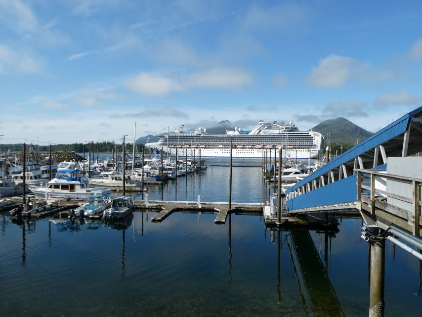
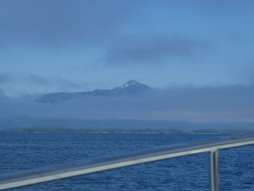
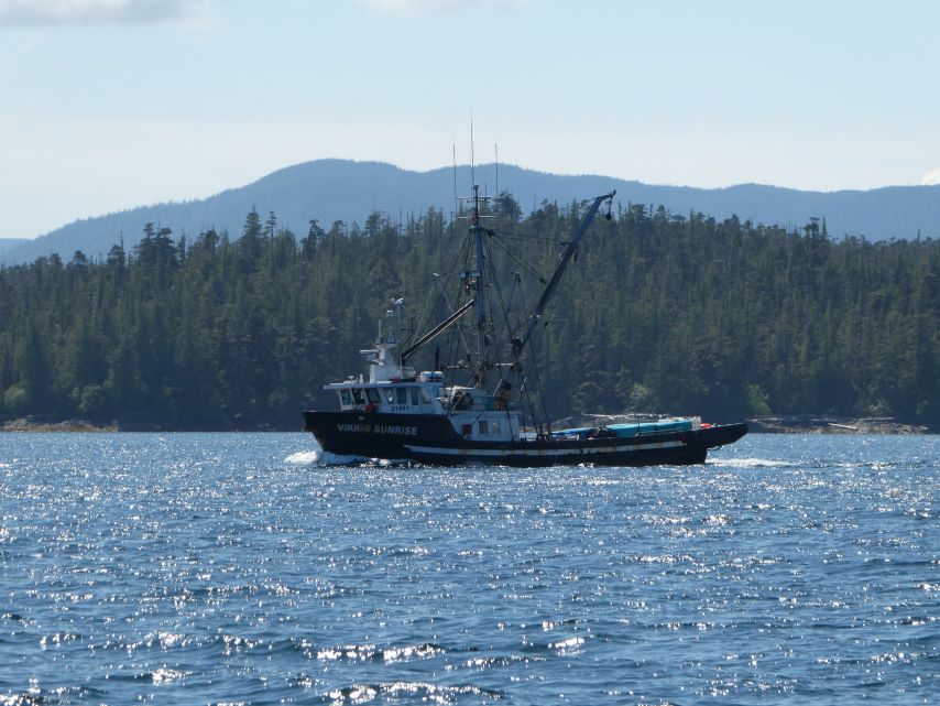
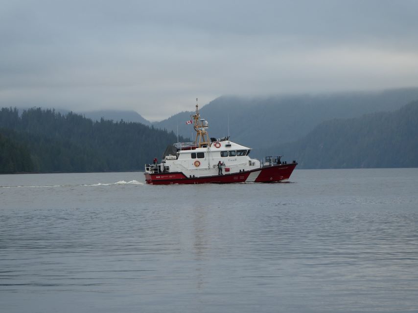
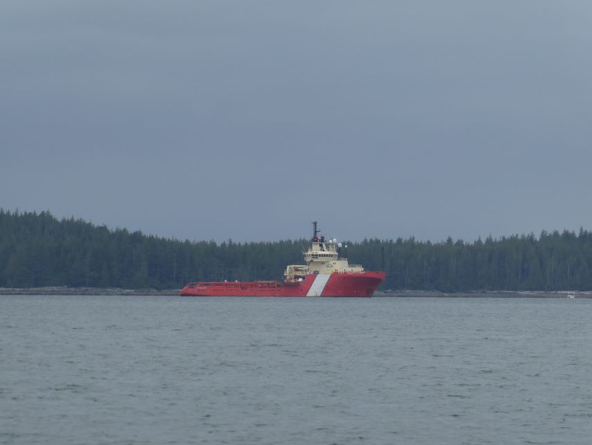
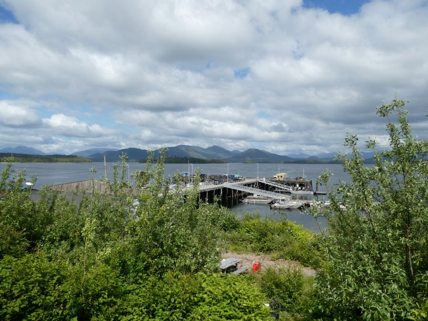
–Strait of Juan de Fuca, Strait of Georgia, Queen Charlotte Strait, Cape Caution, and Dixon Entrance fall into “significant bodies of water with ocean swells, high winds, or high currents (or even worse high winds or swell, opposing high currents).” Today we crossed Dixon Entrance, a gate of this type that we had not crossed at some point in our boat in U.S and Canada. For the most part it was a beautiful day, sometimes cloudy and grey and at others sunny and bright. The wind was mostly between 6-9 mph although near Ketchikan it got up to about 15mph. The ocean swells were 1.5 to 2 feet with a few of them up to 4 or 5 feet, creating an uncomfortable ride when they were on the side of the boat. The trip took 12 hours which is a bit of a long day for us. We are now moored at Bar Harbor Basin, North in Ketchikan.
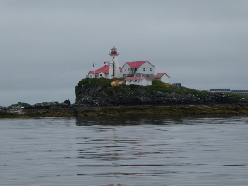
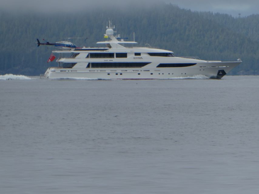
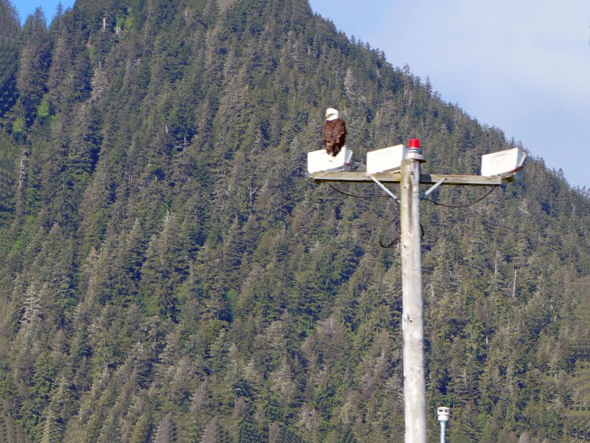
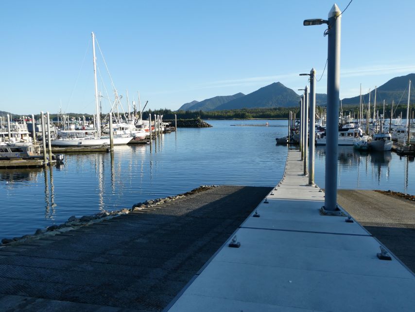
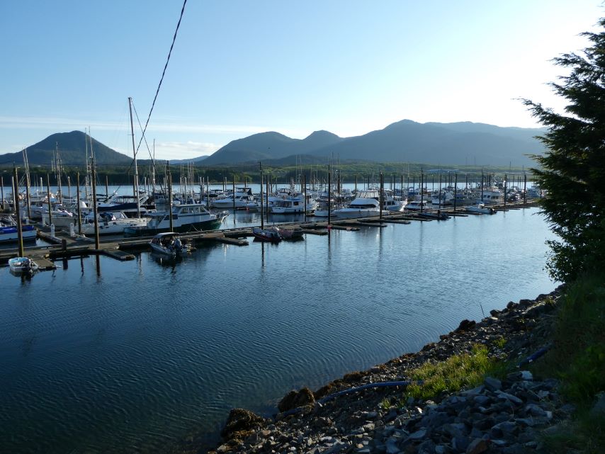
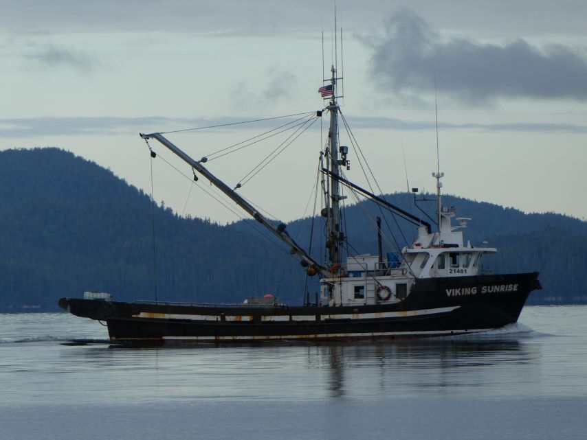
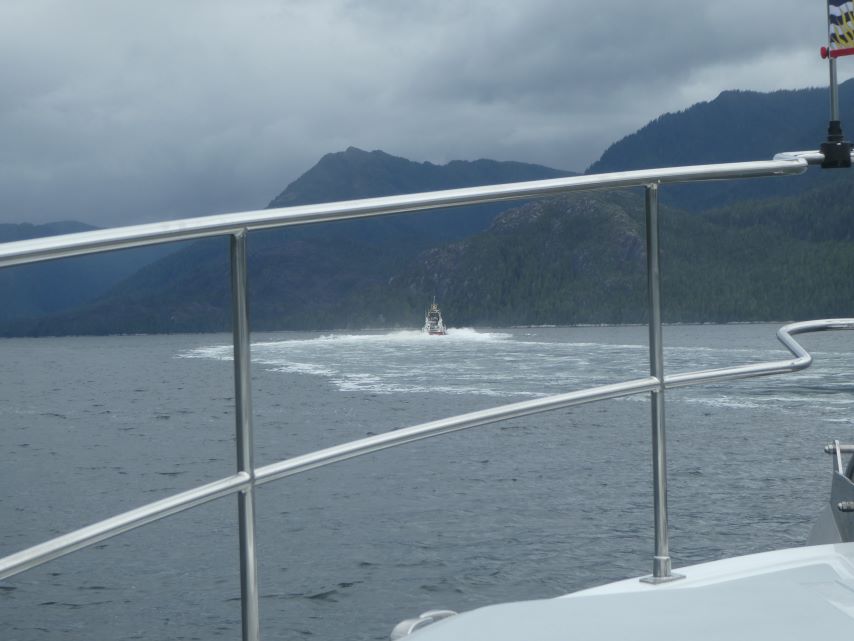
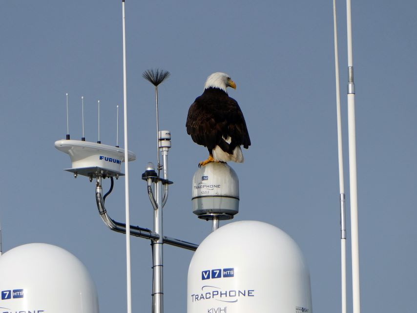
Cow BayCow Bay MarinaLeaving Prince RupertOverseeing Our DepartureSunriseGreen Island Last Canadian LighthouseVenn Passage MarkerEntrance to Portland InletHoliday Island MarkerEagle at Holiday IslandTree Point Lighthouse AKSuperyacht Evviva Annette Island AKRevillagigedo Island AKBird Rock AKCamping Cove AKViking SunriseEntering KetchikanBoat RampBar Harbor Basin SouthBar Harbor Basin NorthBoats & Plane
We have done our due diligence: Checked Tides and Currents, Weather System Predictions, Weather and Sea Forecasts, Observations and Present Conditions. If the conditions are still favorable in the morning we will cast off for Alaska at 5:oo am, cross the Dixon Entrance and be in U.S waters by noon. In the meantime enjoy some pictures from Prince Rupert.
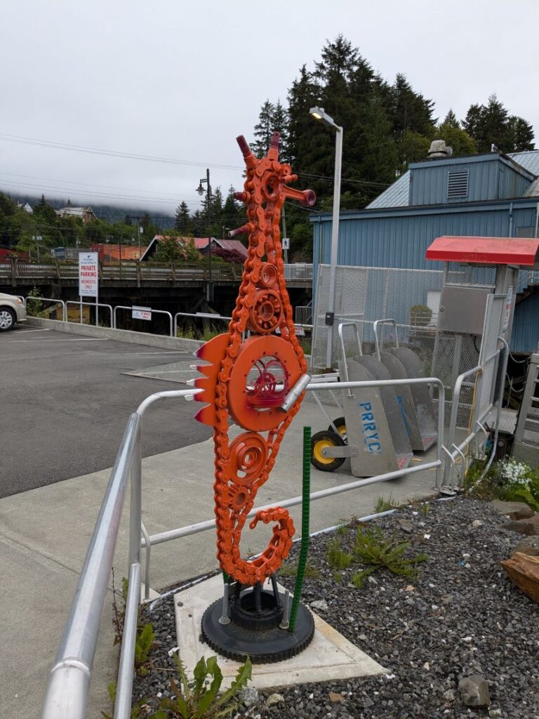
Town MuralTown MuralTown MuralTown MuralCow Bay DecoreCow Bay DecoreTime to RestSeahorse Made From Old EngineParts
Around Cow Bay Marina
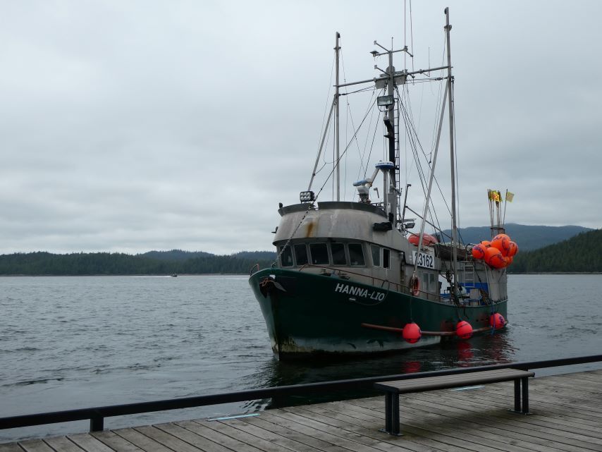
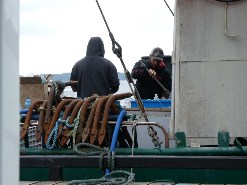
Hanna-Lio Preparing for Halibut FishingPreparing for Halibut FishingEmbarkParadigm LostRegattaCanadian Coast GuardInside Passage Tour Boat Kids Night Out
Continued our journey up Grenville Channel to Prince Rupert. We will be staying in Cow Bay Marina for a few days as we enjoy the city and make plans for crossing Dixon Entrance to enter Alaska.
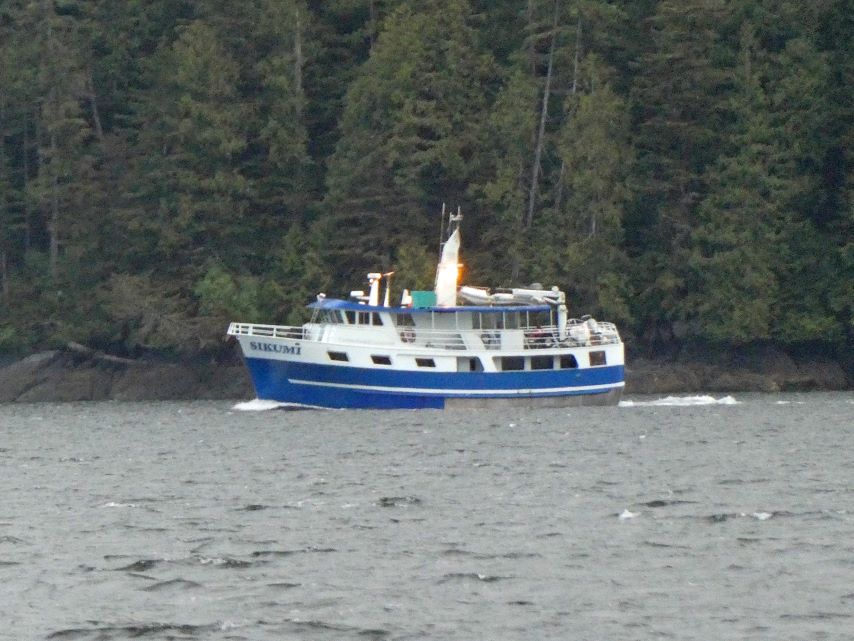
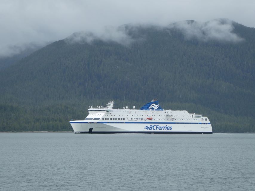
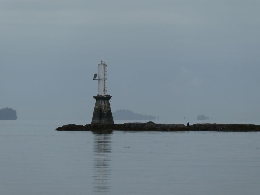
East InletDome Mountain Weighing the AnchorDepartingSikumiNorthern ExpeditionNavigational Marker Chatham SoundThree Eagles Lawyer Rock-Client Reef-Bribery IsletGlen Island-Little Glen IslandCCGS Atlantic RavenPort of Prince RupertPort of Prince RupertPort of Prince RupertPort of Prince RupertPort of Prince RupertPort of Prince RupertPort of Prince RupertPort of Prince RupertPort of Prince RupertCow Bay MarinaCow Bay Eagles
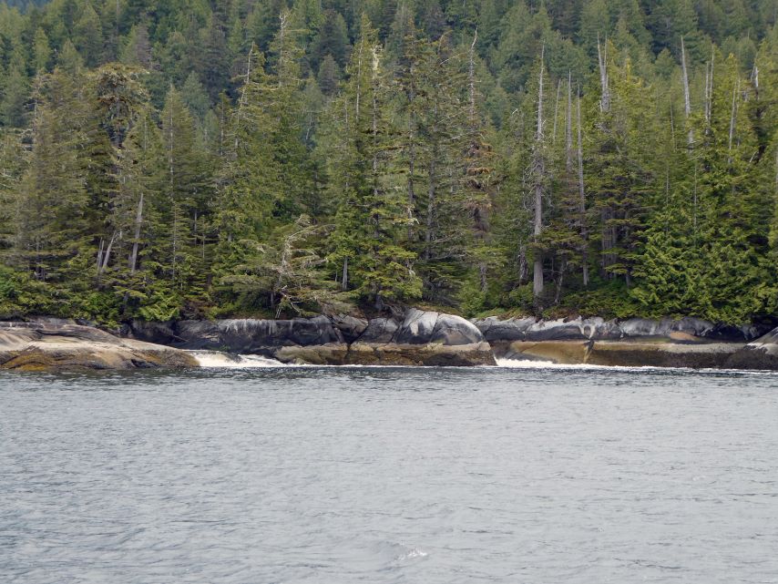
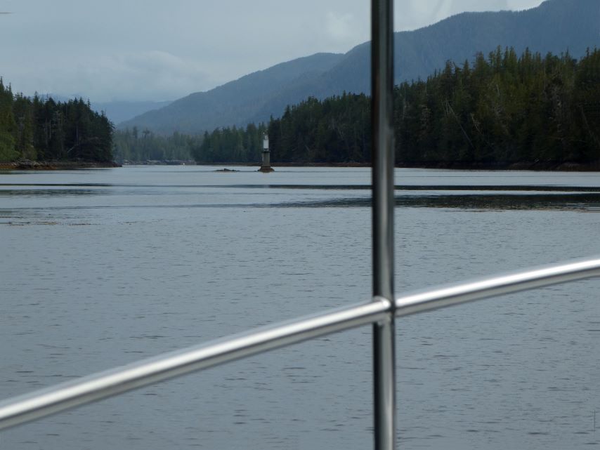
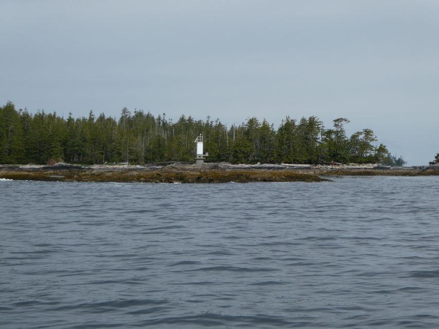
Coghlan Anchorage is part of Wright Sound which is where Grenville Channel begins. The channel is about 45 nautical miles long and 0.2 nautical miles wide at its narrowest point, ending at Prince Rupert. Since it is a part of the Inside Passage shipping route you are likely to see all types of vessels.
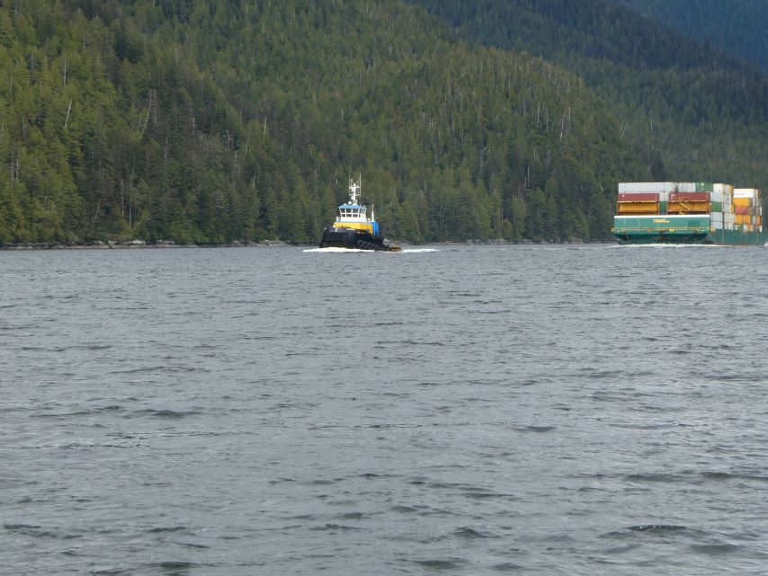
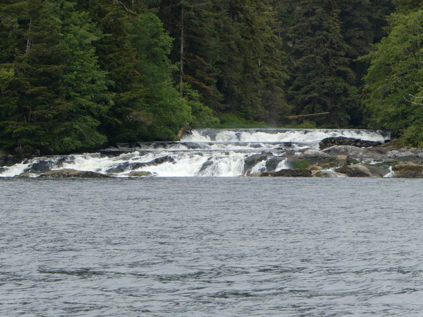
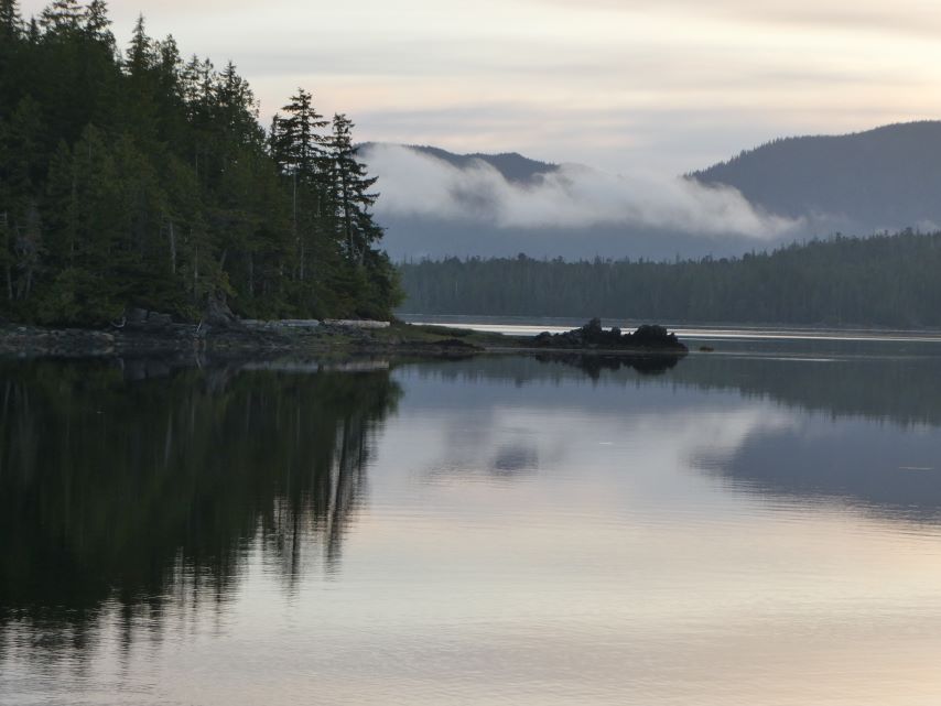
Viking SunriseTug & TowFishing off Lowe InletTom from Embark Search & Resure VesselWaterfalls from Brodie LakeEntering Klewnuggit InletSprenaded by Resident LoonSpirit Bear
Anchored in Klewnuggit Inlet at the East Inner Basin. Sharing the Space with Spirit Bear.
Our plan for today was to head west to Milbanke Sound and take Finlayson Channel which is part of the main route for B.C. Ferries. Weather predictions last night seemed favorable but today that changed, by the time we arrived at the sound the swells were on the rise. We took Reid Passage to Perceval Narrows, which we were lucky to catch at near low tide and proceeded though. We entered Mathieson Sound and took Oscar Passage to Finlayson Channel.
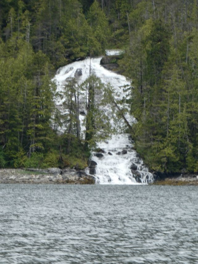
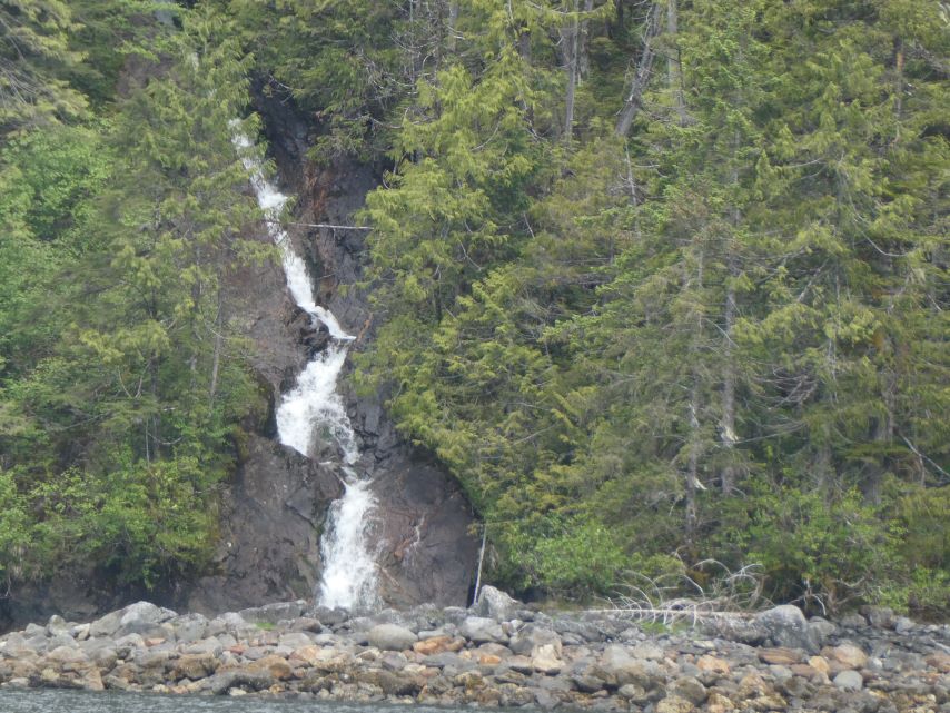
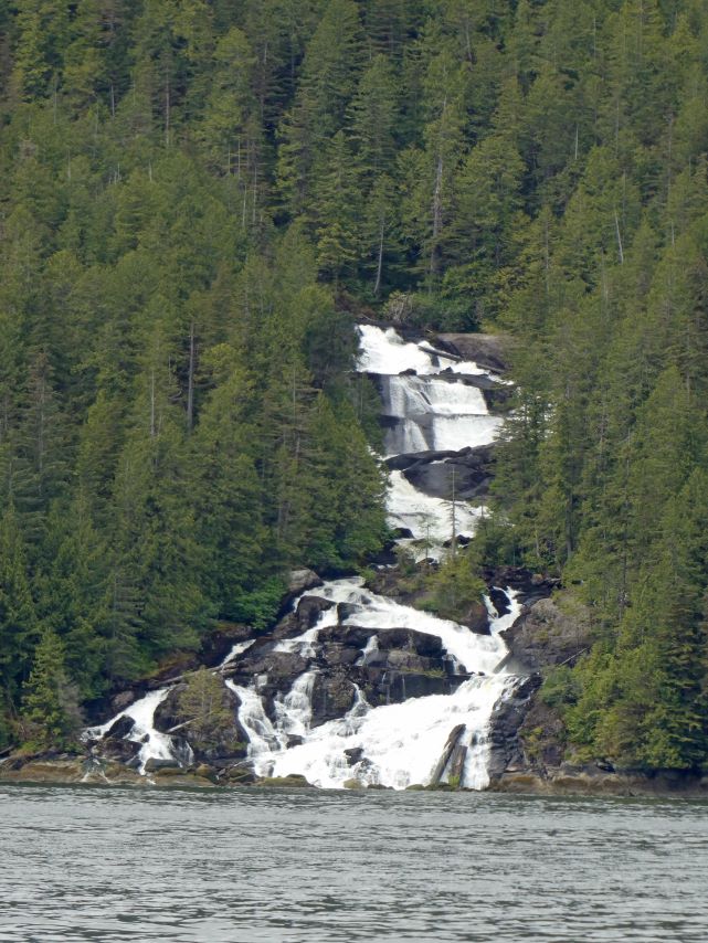
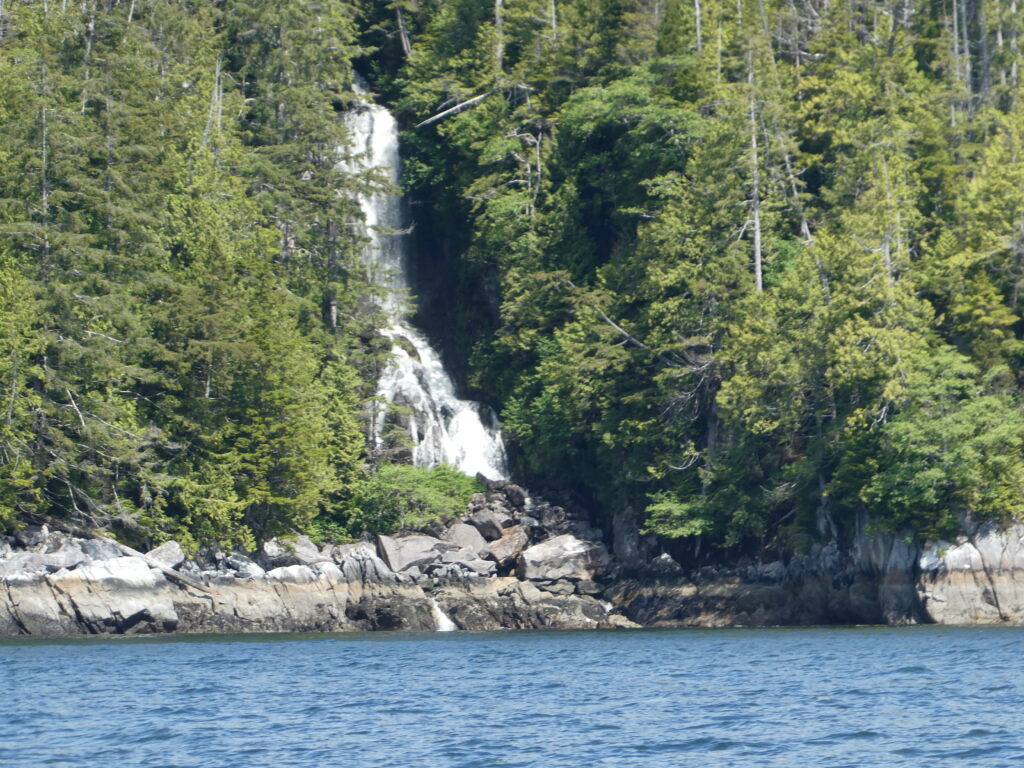
What a gorgeous day, we saw our first waterfalls of the trip. Two Pacific white-sided dolphins played along our bow for about 5 minutes. These dolphins are noted for being playful, highly social marine mammals, are avid bow-riders, and acrobatic jumpers. They are fascinating creatures, Rick just told me that they they use a sleep technique called unihemispheric sleep, which allows them to sleep while still breathing and being aware of their surroundings. That is a skill I would love to have on this trip.
Anchored in beautiful, secured, peaceful Bottleneck Inlet at Roderick Island, sharing the inlet with two other boats.
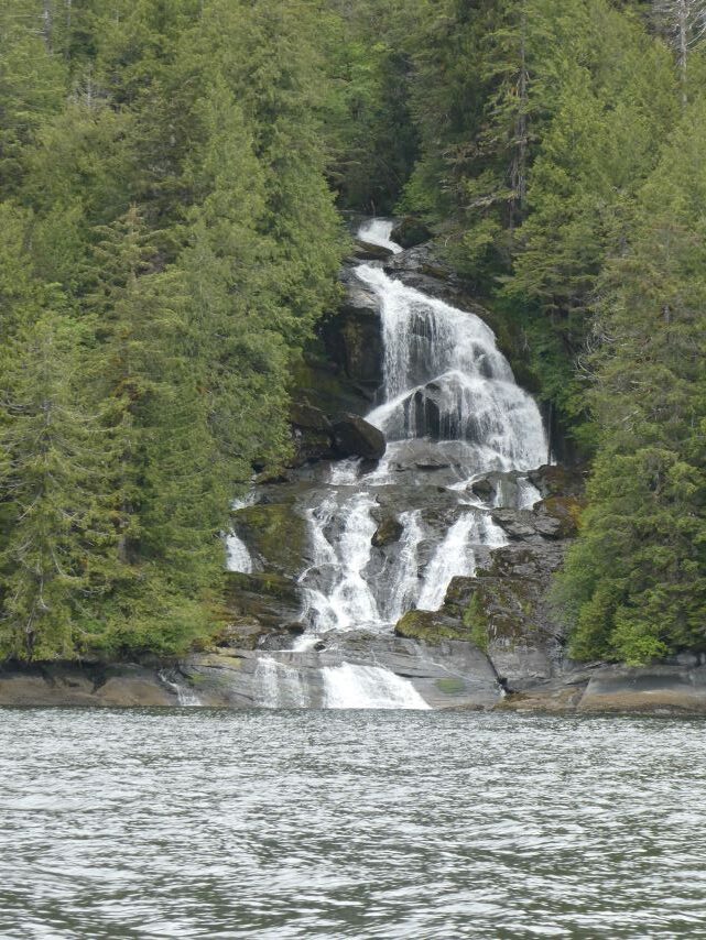
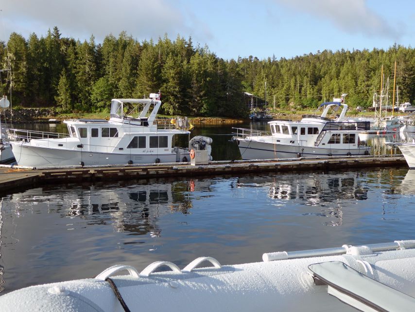
Shearwater SunriseShearwater LodgeWatching Paradigm Lost Leave the DockYacht RidingLeaving Shearwater Ivory Island LightstationWaves from Pacific OceanSally, waiting in the calm.Perceval NarrowsEntering Oscar Passage Oscar PassageFirst Waterfall
Owned by the Heiltsuk Nation, Shearwater Resort is an Indigenous wilderness resort in the heart of the Great Bear Rainforest.
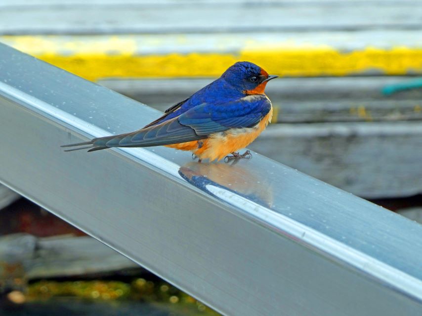
Purple MartinNot for Haste & EmbarkSallyMyciaParadigm Lost
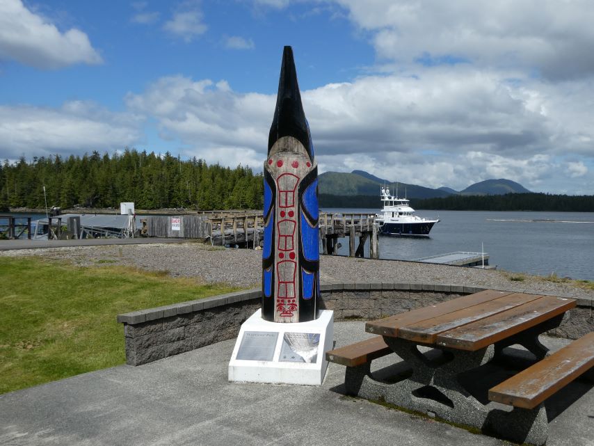
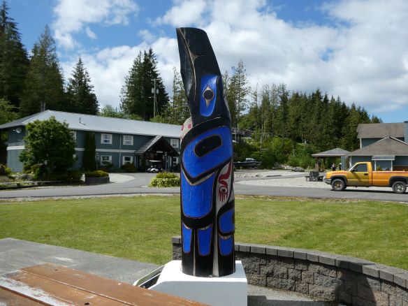
Shearwater Park
This beautiful park is dedicated to Shearwater and New Bella Bella residents’ that serve in WW I, WW II, and the Korean wars.
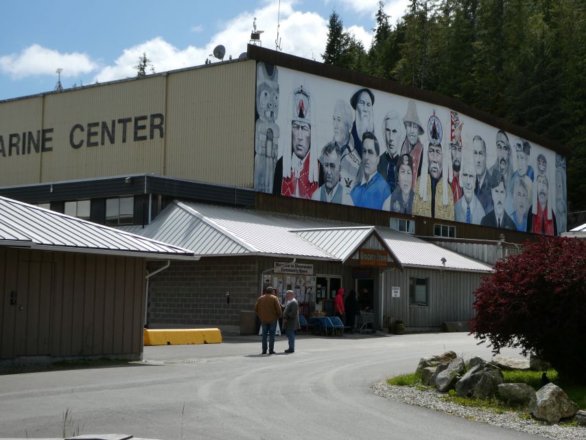
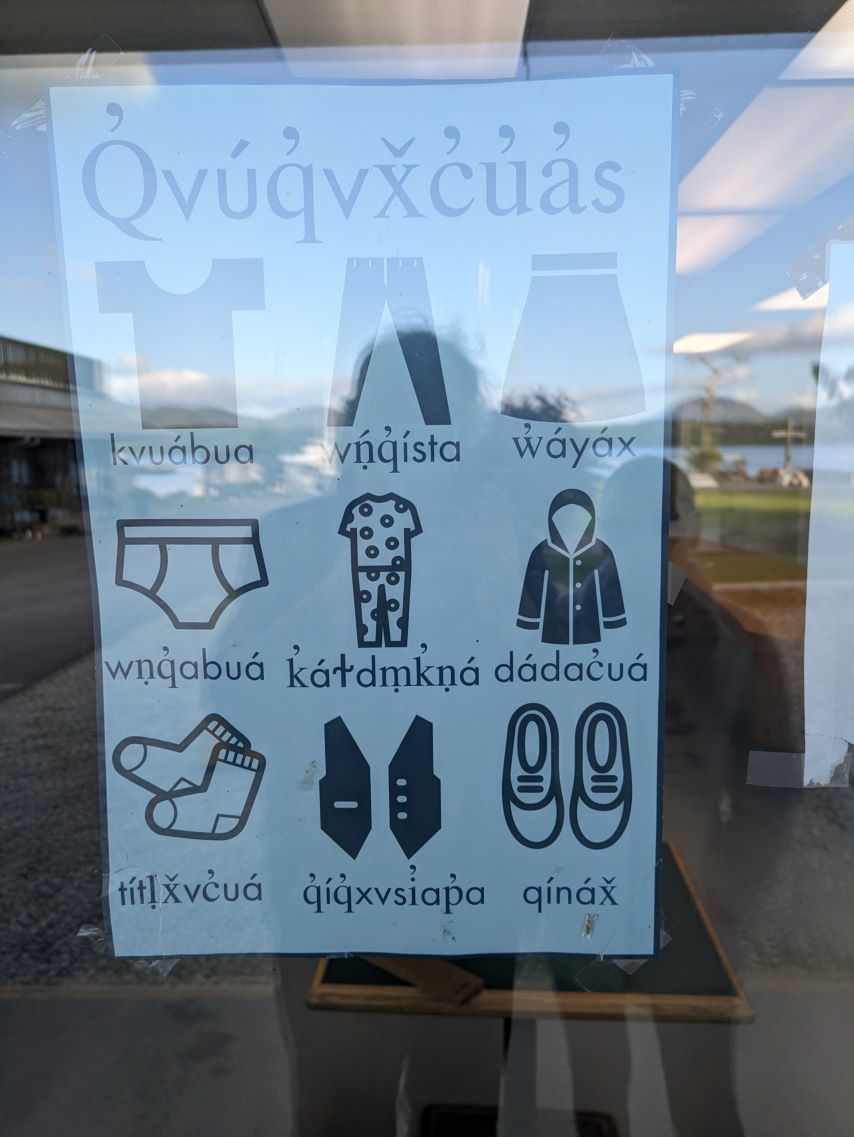
Beautiful Mural Celebrating Leaders of ShearwaterHeiltsuk Language Lesson at the Laundromat
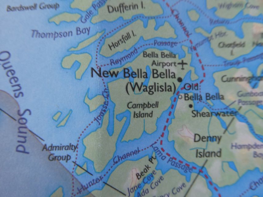
New Bella Bella
While Rick was working on the boat, I took the Sea-Bus taxi to check-out New Bella Bella. The Heiltsuk Cultural Centre, which showcases their art and historical artifacts, was closed. I did shop at the Band Store (grocery store) and they told me the next closest grocery store was in Prince Rupert and that the fastest way to get from Bella Bella to Prince Rupert is by ferry, which takes eleven hours and twenty-three minutes. Students from Shearwaters take the Sea-Bus to the school in New Bella Bella.