Monday-June 10
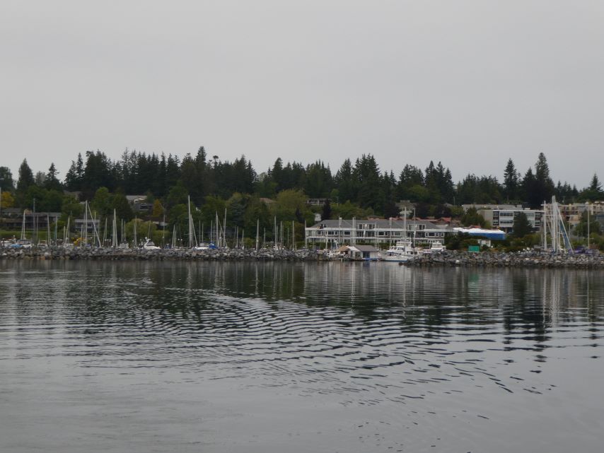
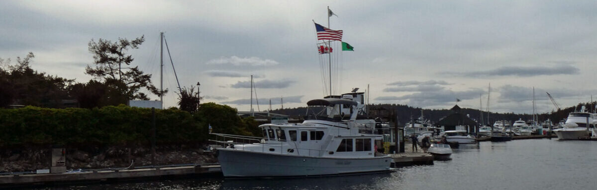
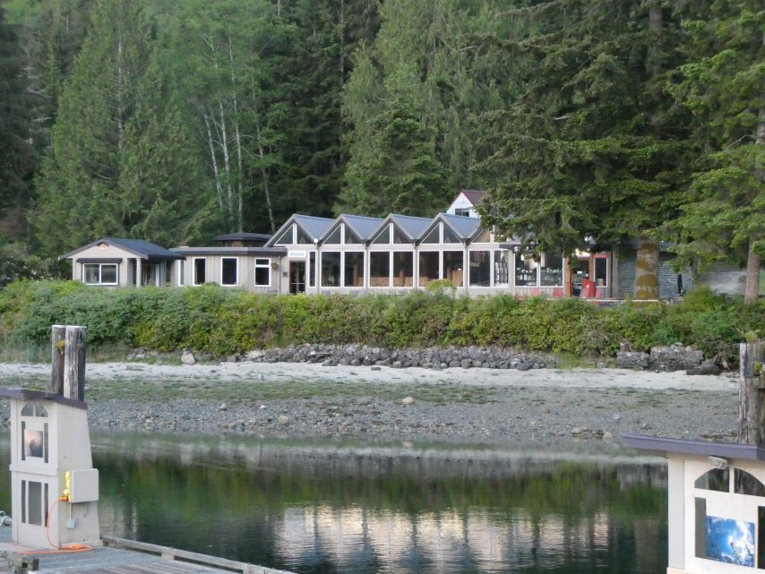
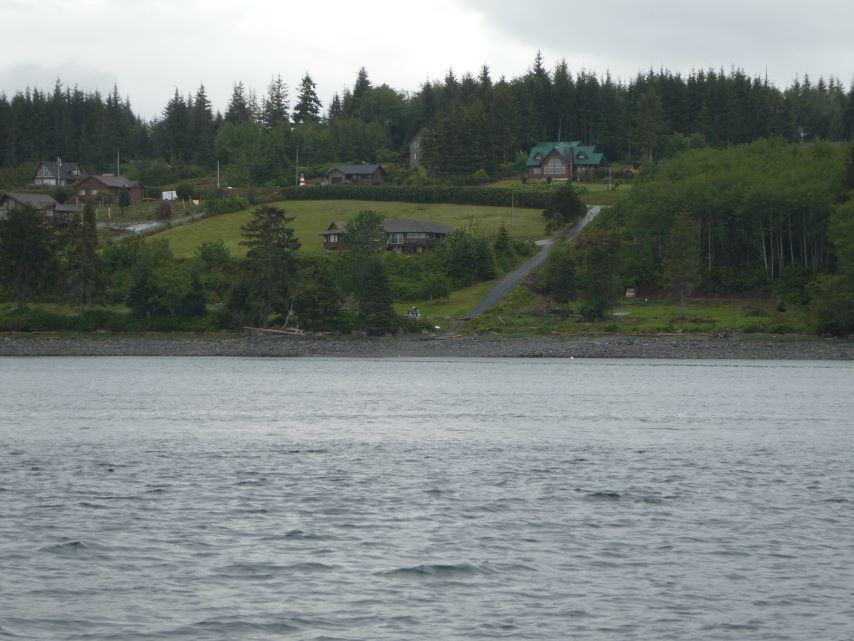
After three beautiful days of solitude in Big Frypan Bay we left for Shearwater Resort and Marina, Denny Island.
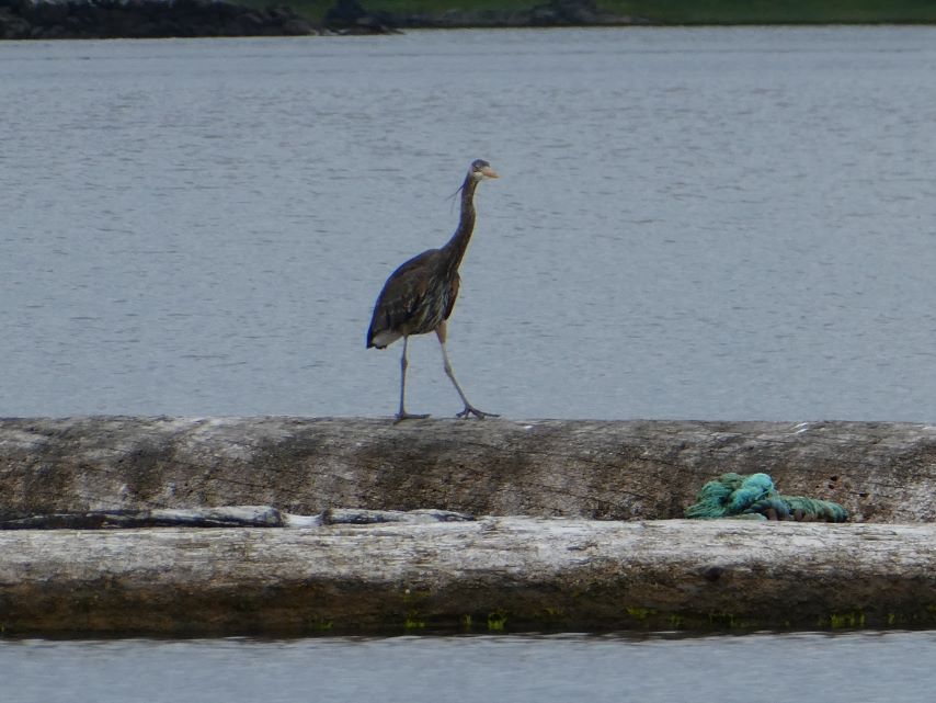
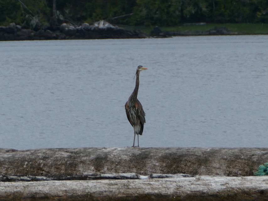
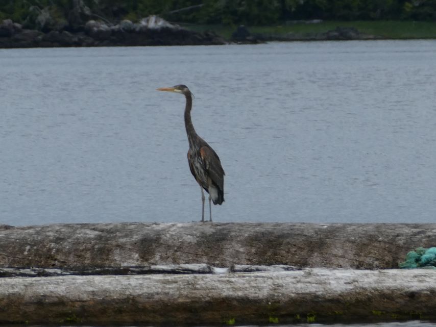
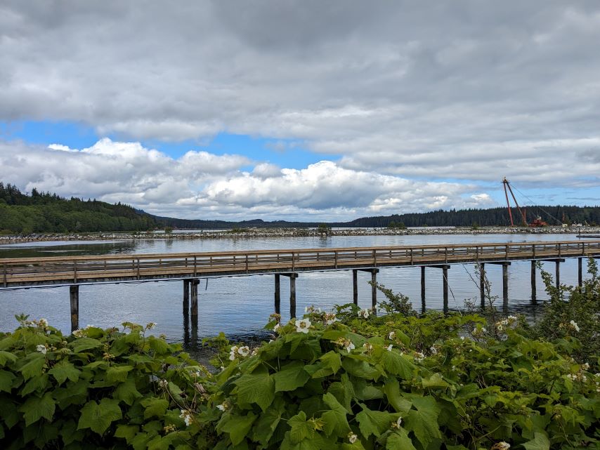
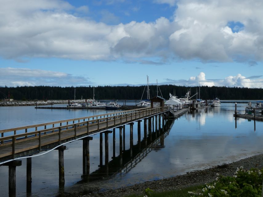
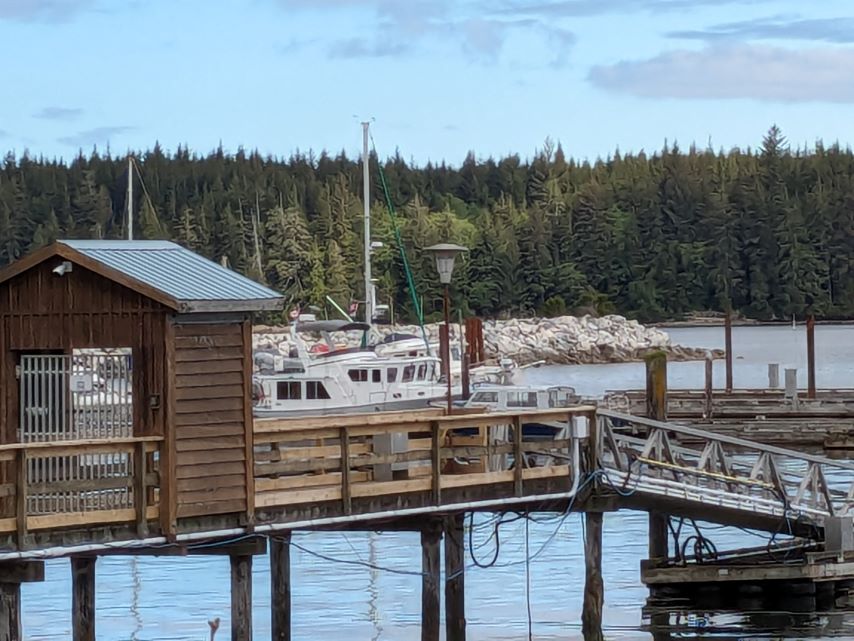
Blue Herons on the Breakwater at Shearwater Marina
“Nobody can go back and start a new beginning, but anyone can start today and make a new ending.” Maria Robinson
Monday-June 10
After three beautiful days of solitude in Big Frypan Bay we left for Shearwater Resort and Marina, Denny Island.
Blue Herons on the Breakwater at Shearwater Marina
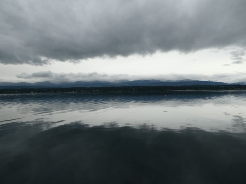
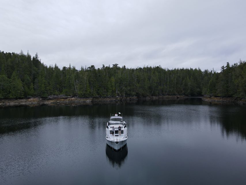
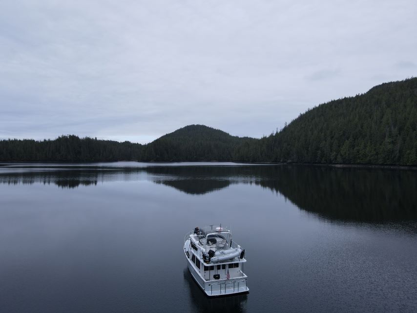
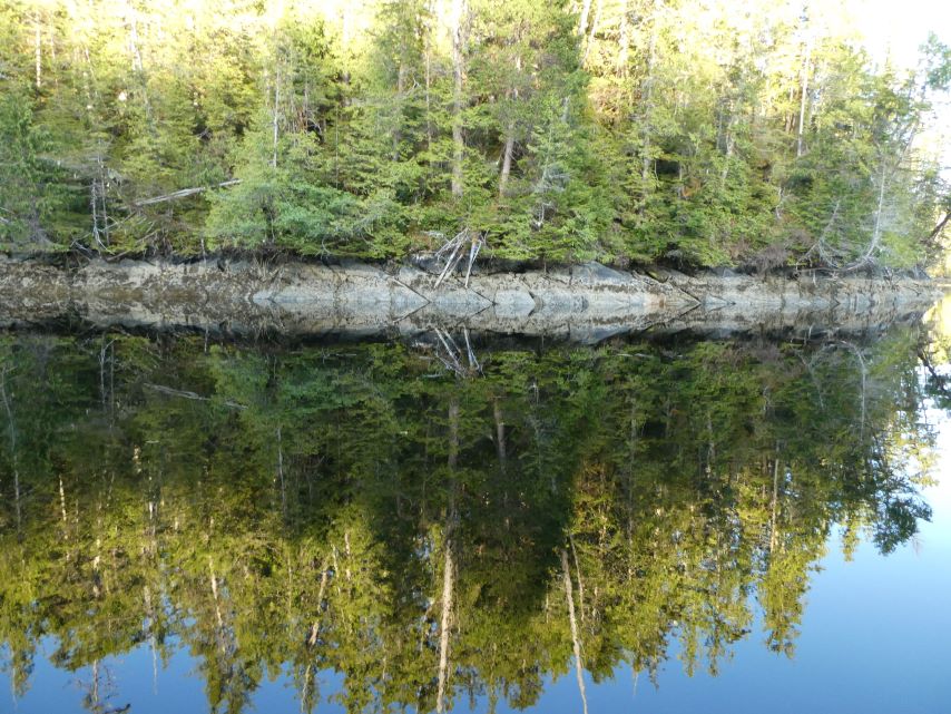
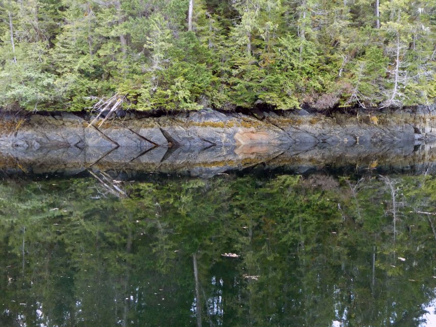
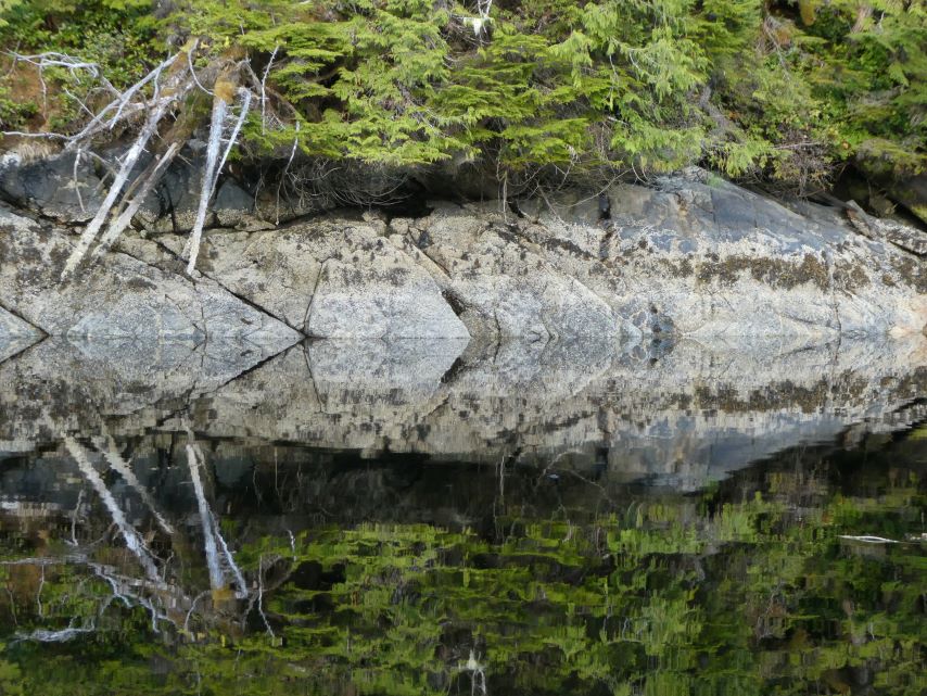
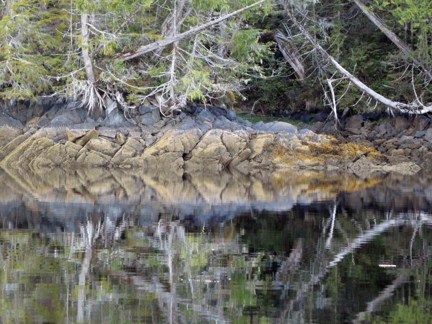
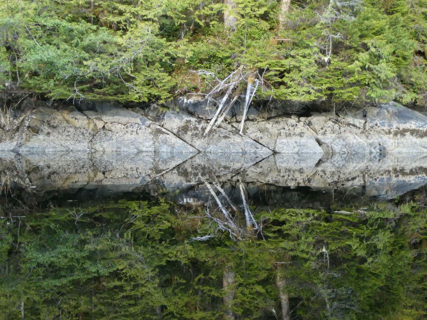
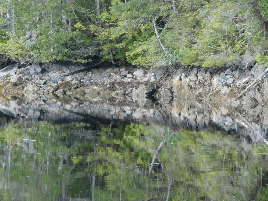
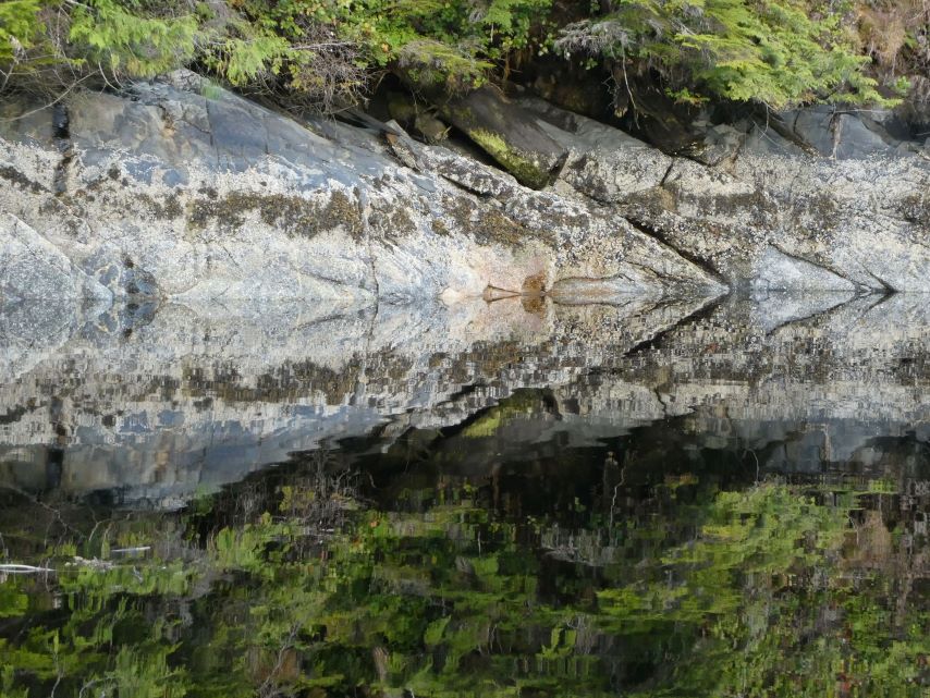
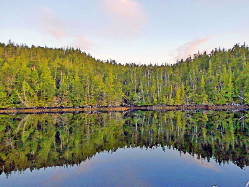
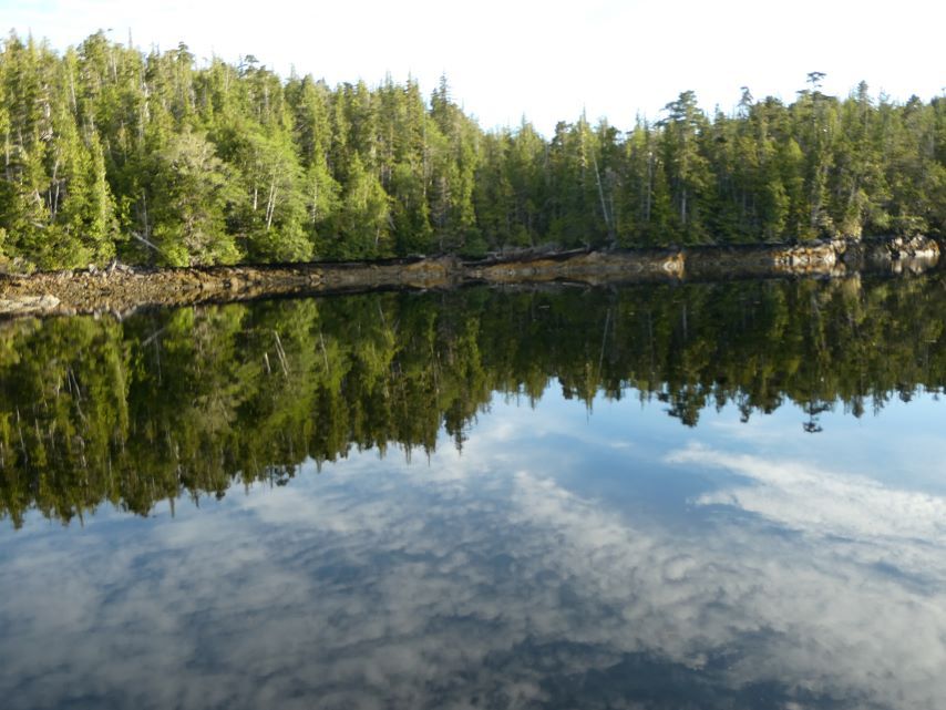
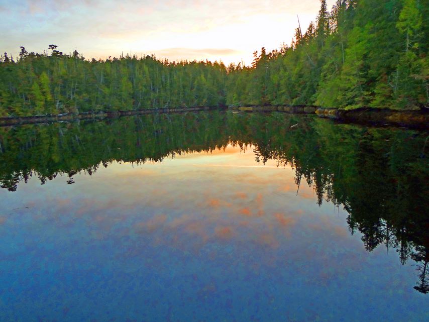
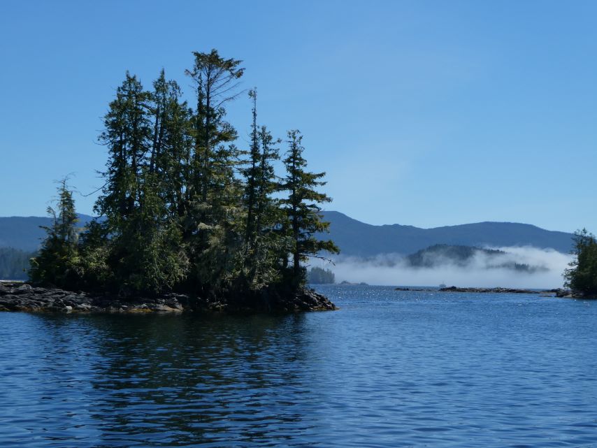
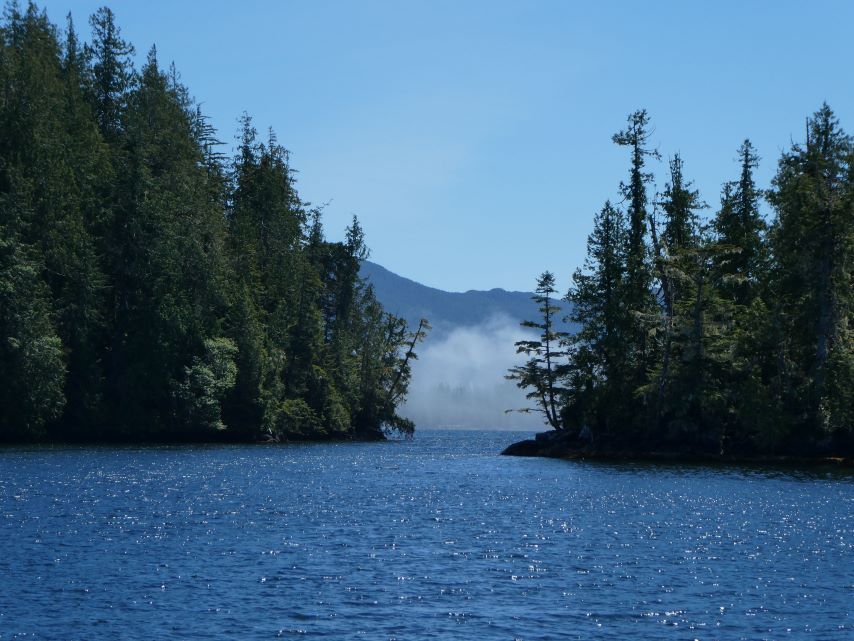
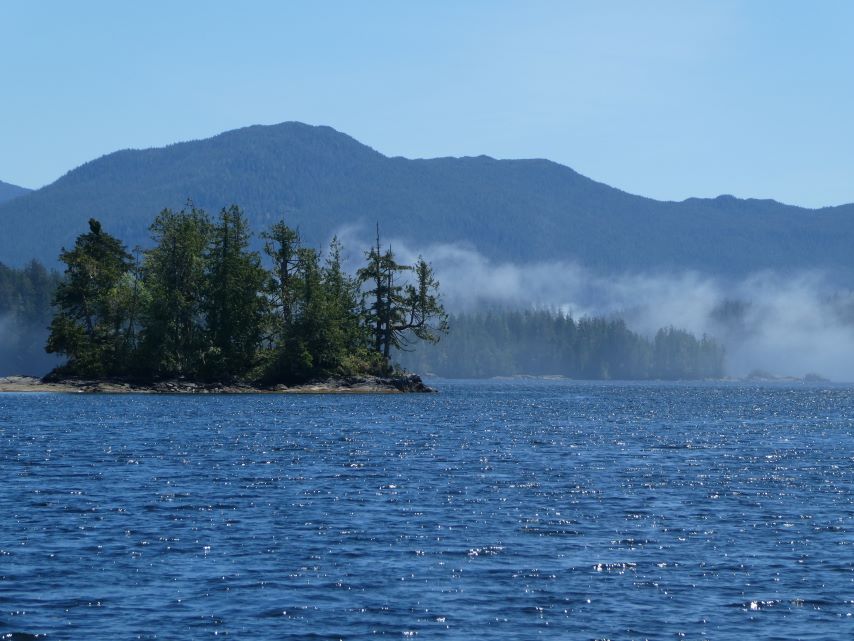
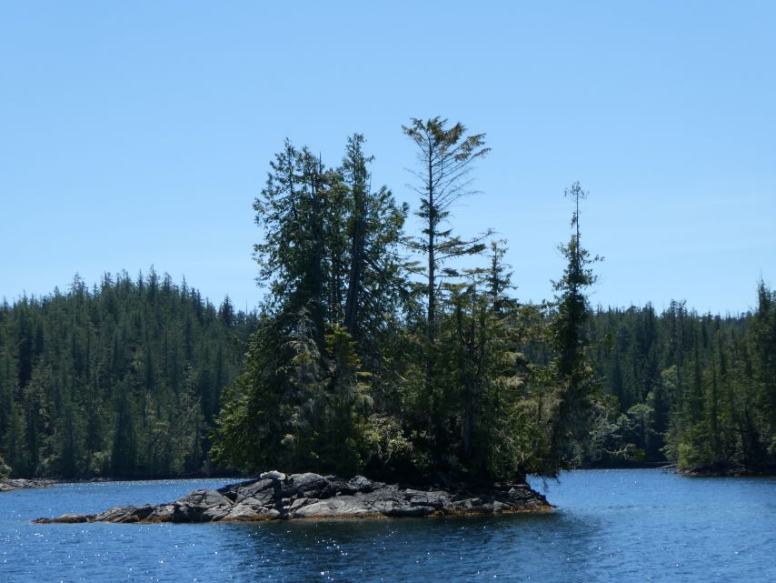
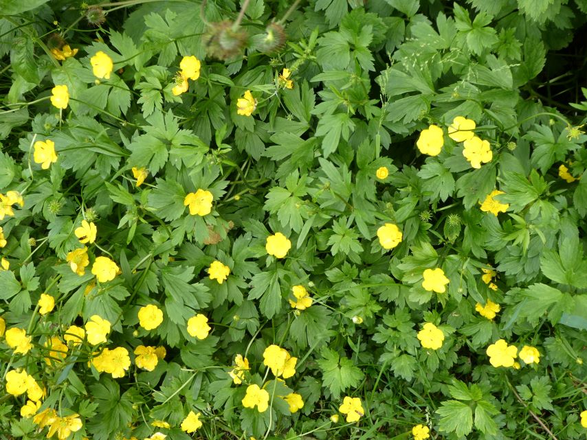
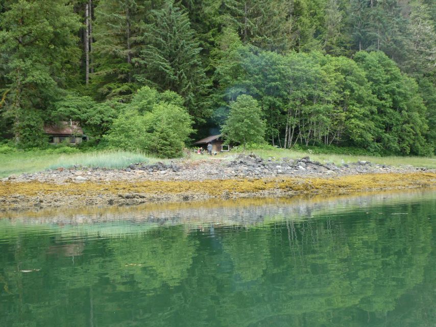
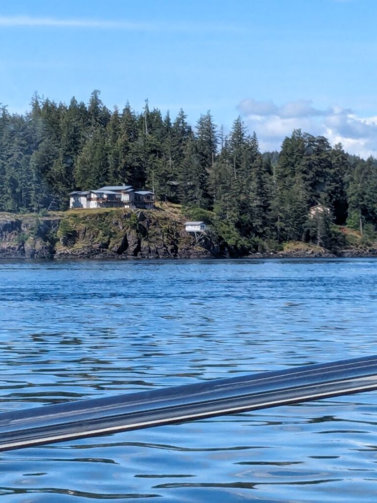
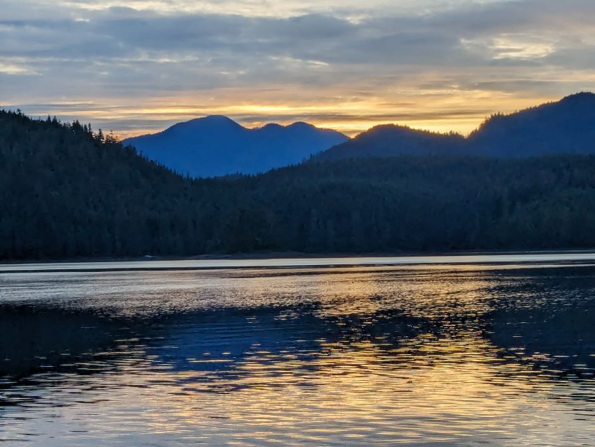
We are in Big Frypan Bay where we did a little water reflection photography. At high tide the water rises and trees appear to float, a dreamy illusion. As the tide recedes the rock-shores reveal their rugged beauty, each crevice, texture, and signature comes alive and appears as if they were petroglyphs.
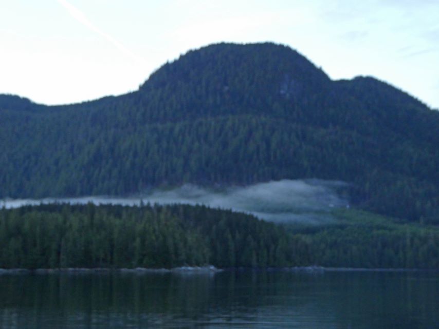
Today we left Port McNeill for Big Frypan Bay at Penrose Island and we were not alone. There were five boats on our pier and four of us left before 5:00 in the morning. The sailing vessel Rita, not planning on going around Cape Caution, stayed snug as a bug. We had a good crossing, wave 1-4 feet with a couple of 5-6 foot waves, light wind, some boost from the current, and intermittent fog.
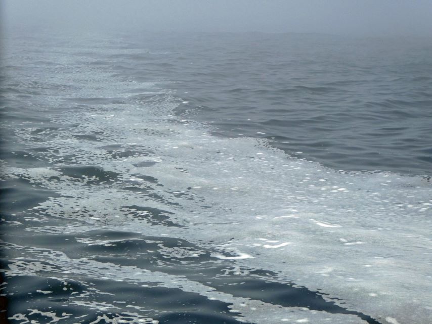
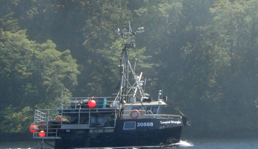
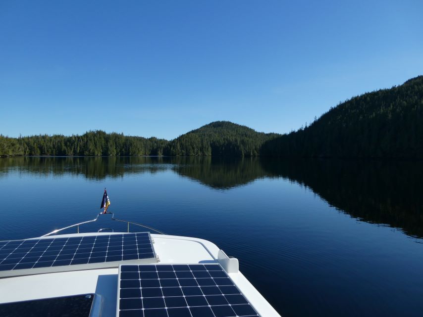
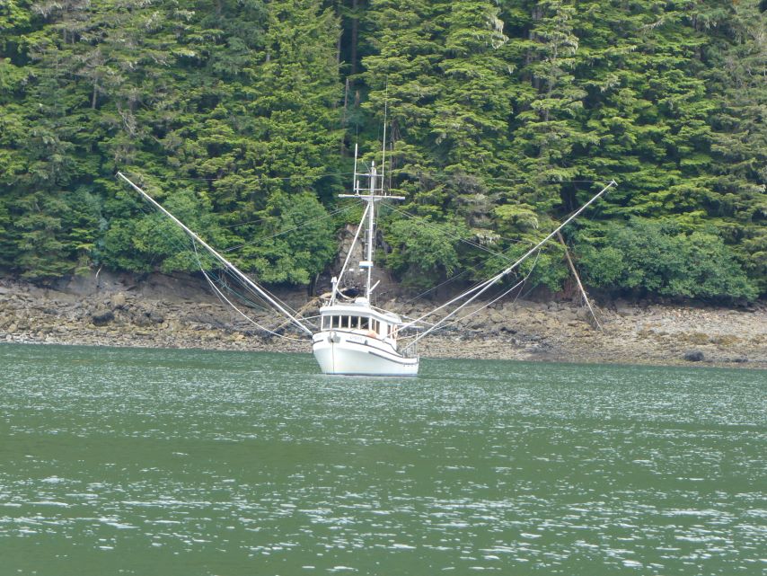
We passed a fishing boat leaving Big Frypan Bay as we entered. We left the current, winds, waves, and fog behind us to be alone in a calm bay with big beautiful blue skies.
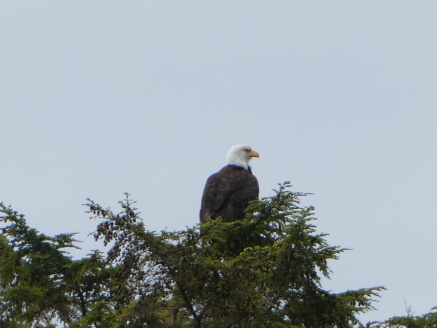
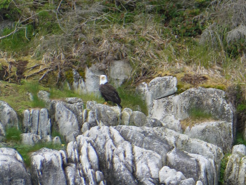
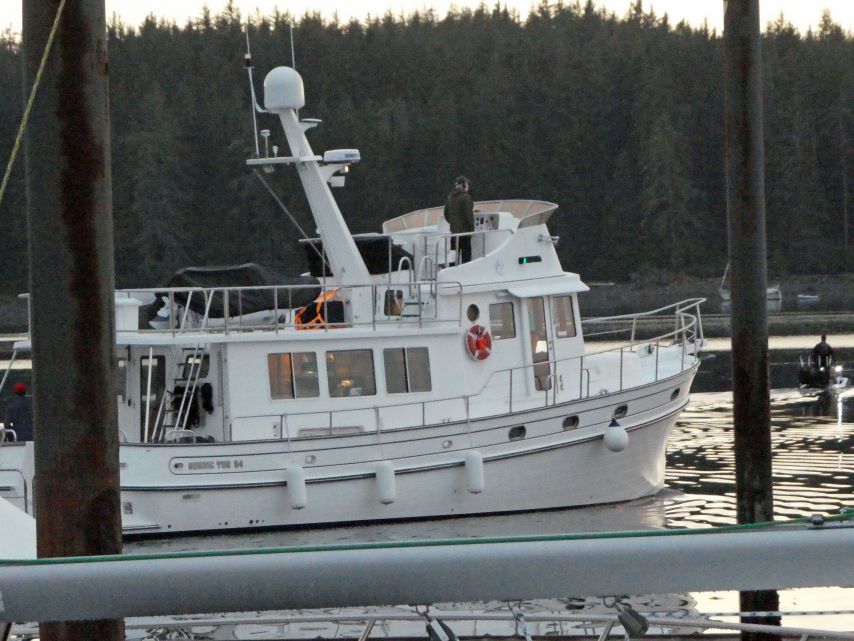
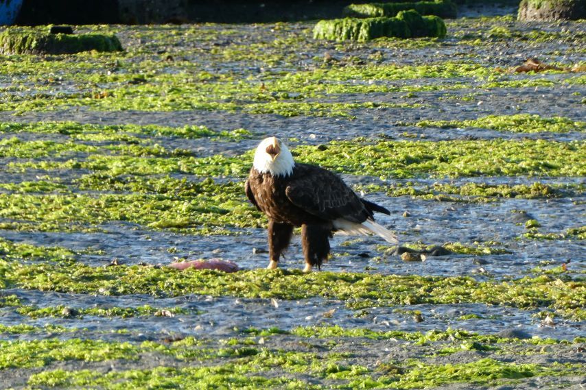
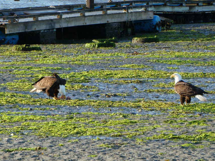
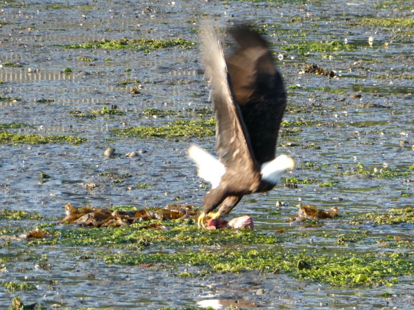
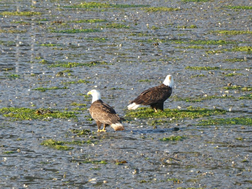
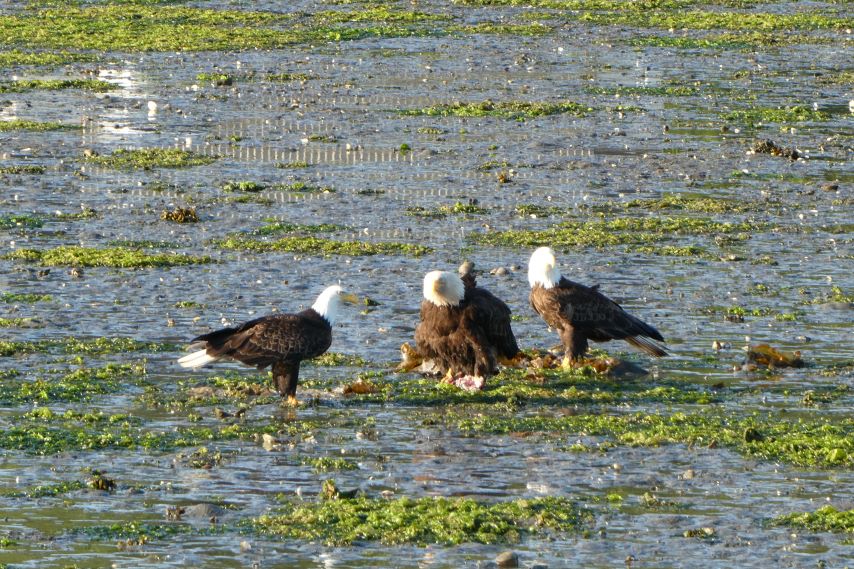
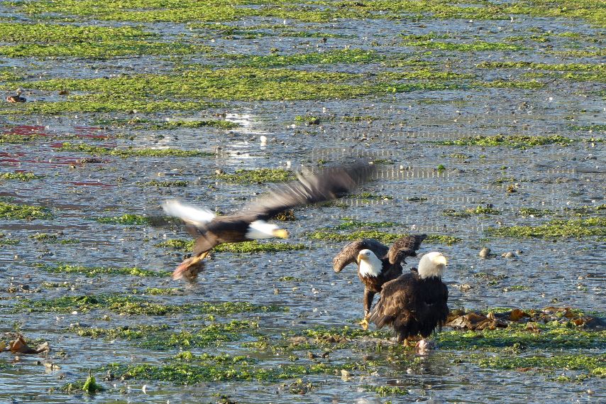
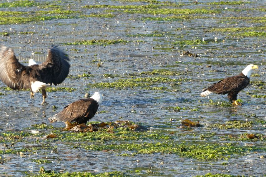
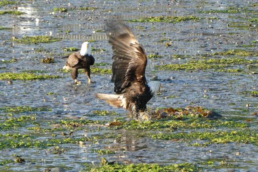
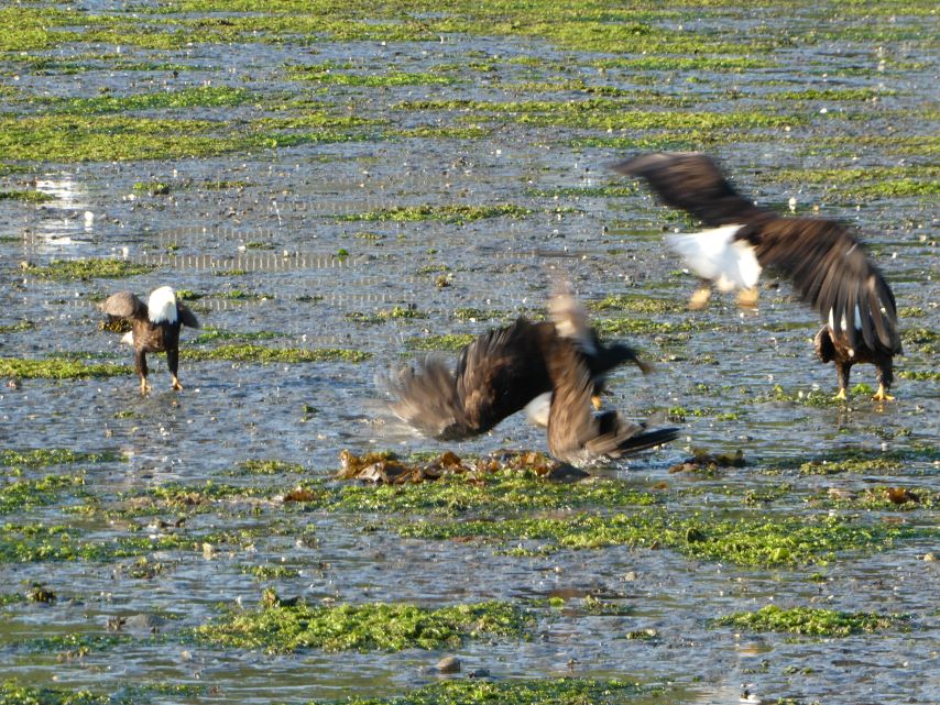
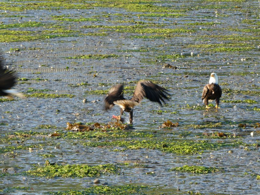
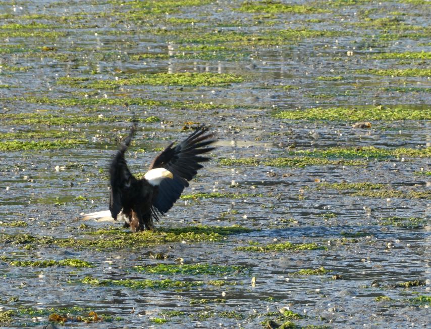
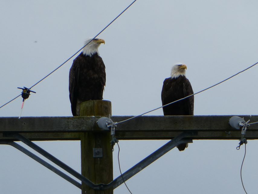
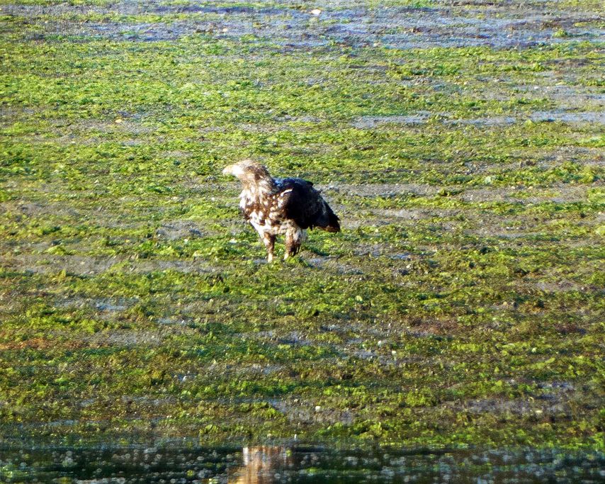
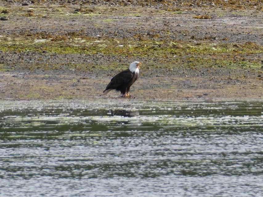
This has been a busy morning. First, our first sunrise without clouds or fog. Second, the “go day” for the team from Dangerous Water Adventures, a Nordic Tug 54, and a Beneteau 47. Third, A seven-eagle beach battle for one poor fish.

Seven-eagle BeachBattle

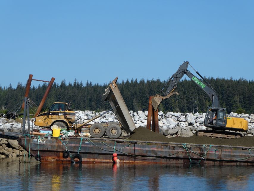
In the afternoon we enjoy watching the activity on the breakwater.
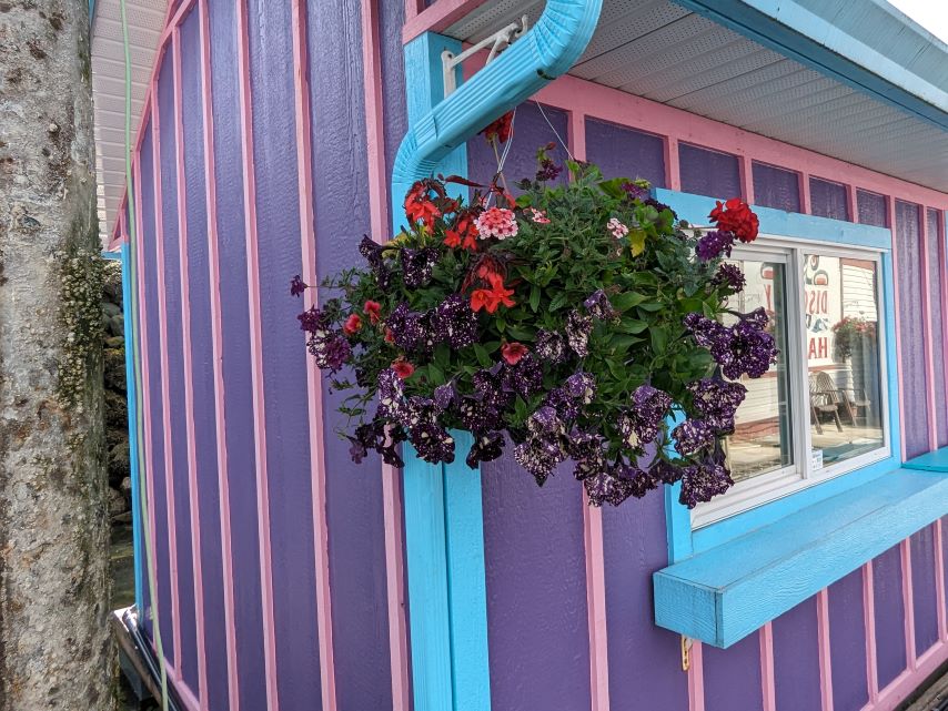
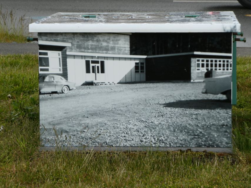
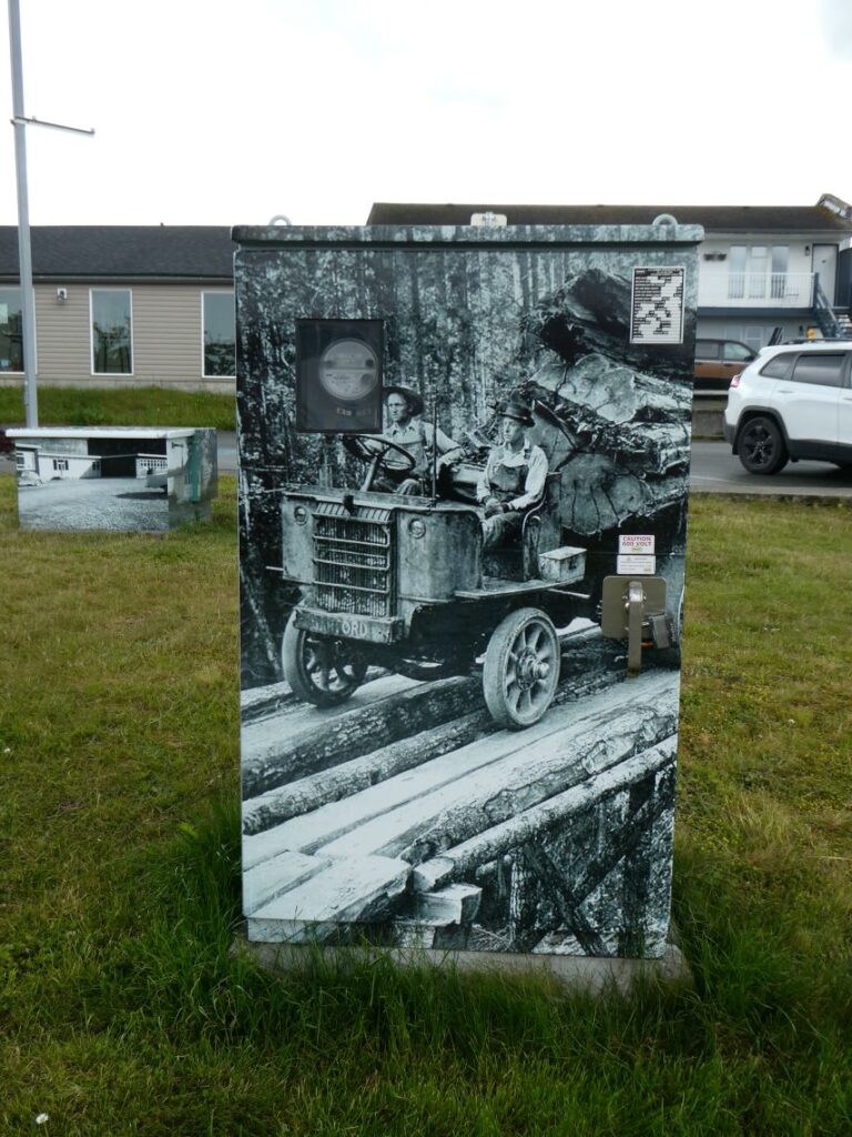
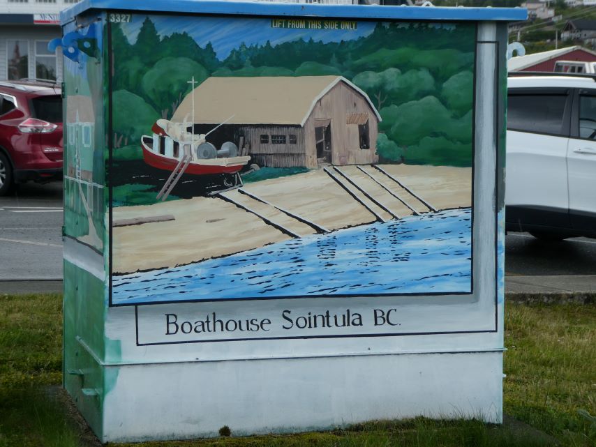
We had a fun day just exploring the harbor. We love the way they decorate their electric boxes, each one shows a little of the history of Port McNeill.
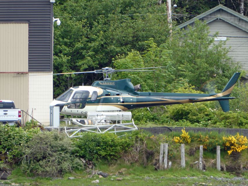
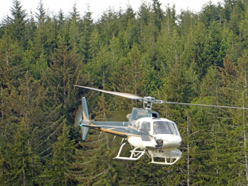
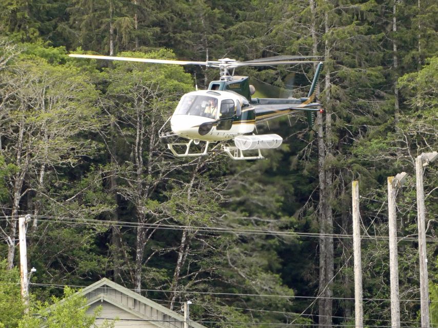
In place of the seaplane landing this time we have a view of the helicopter landing pad for Grizzly Helicopters Ltd. The pictures were taken from our boat.
July 6, Saturday
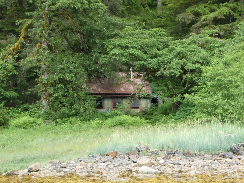
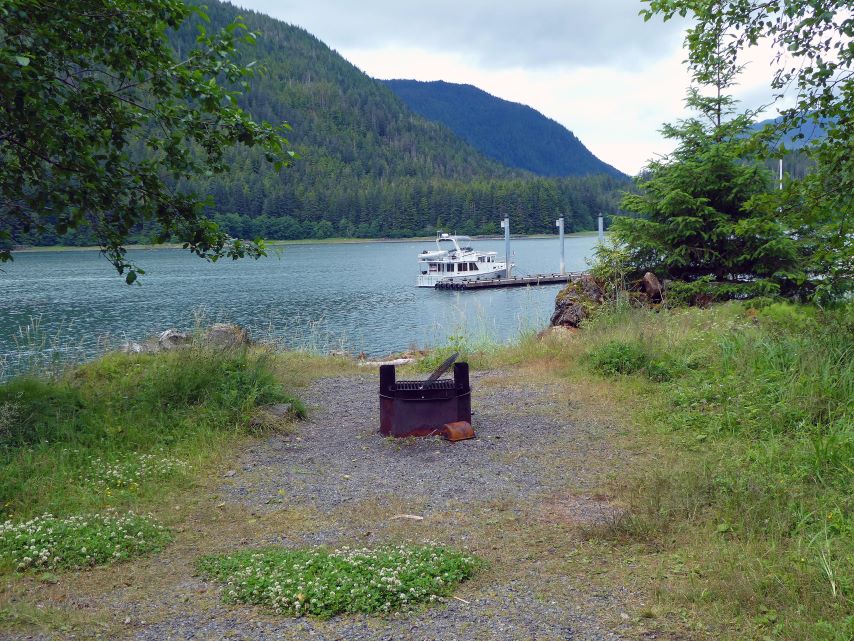
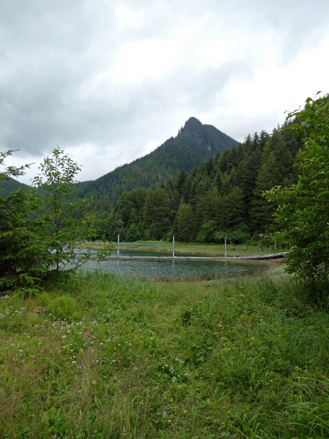
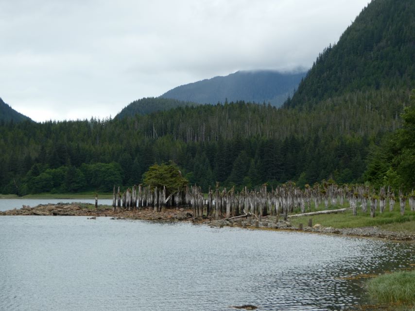
n 1840, the Hudson’s Bay Company constructed Fort Durham in Taku Bay. However, as the company’s policies shifted, Fort Durham (also known as Fort Taku) was eventually abandoned. During the early 1900s, a salmon cannery and Alaska’s first-ever cold storage plant were established in the harbor.
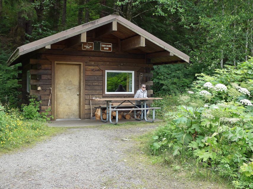
In 1981, Tiger Olson arrived in Taku Harbor to work at the cannery. When the cannery closed, Tiger became the sole inhabitant of this remote harbor. For a delightful and authentic Alaska story, I recommend reading: Taku Harbor’s Legendary Man and Myth


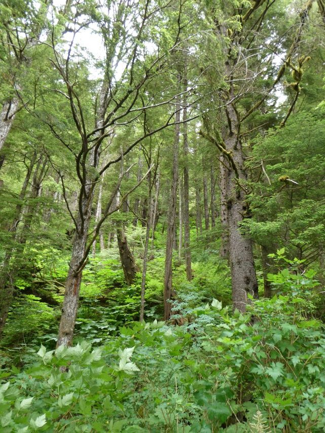
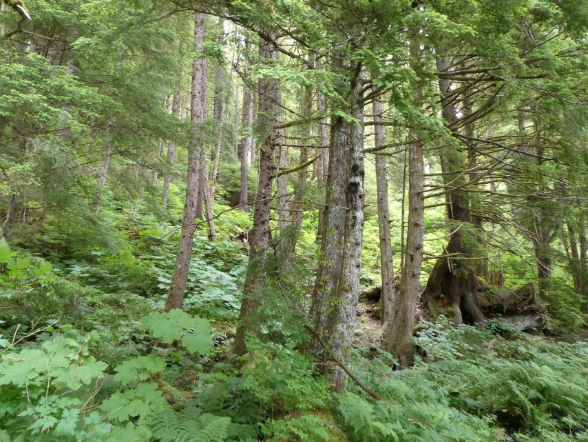
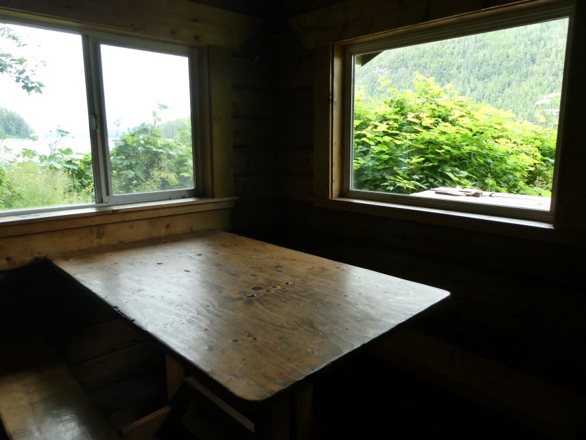
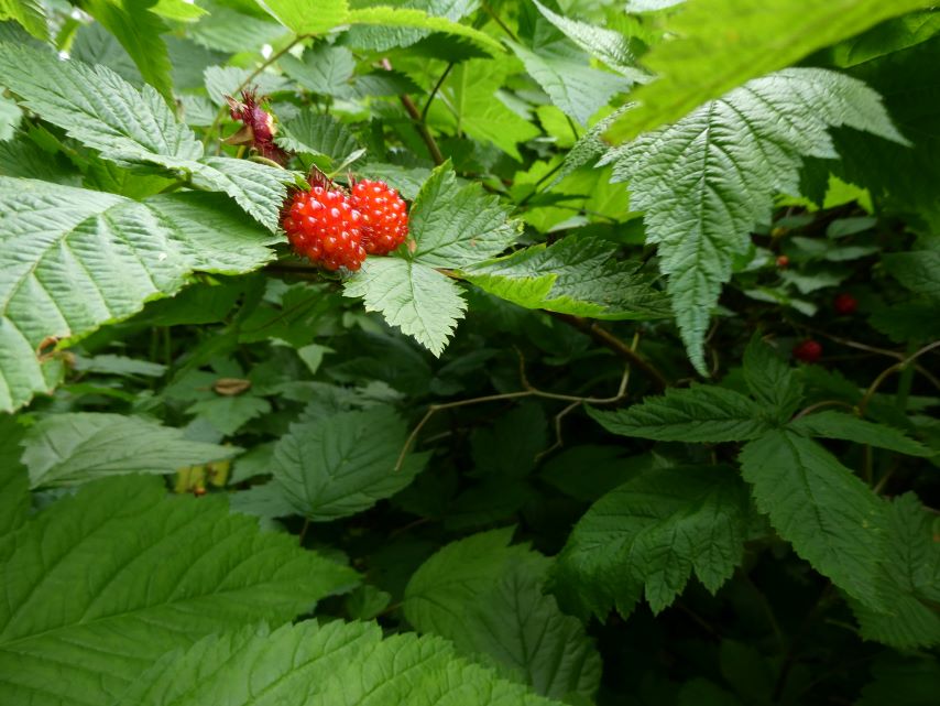
We love walking though a rainforest, in the sanctuary of a rainforest, stress dissipates, and a sense of connection to nature prevails, time seems to slow down. There’s no rush, no urgency—just the present moment.
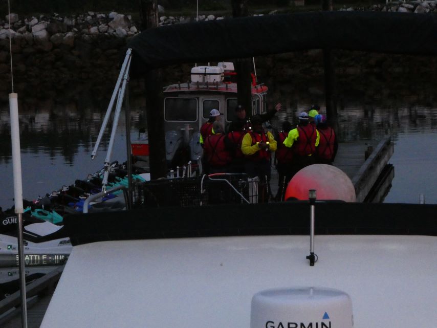
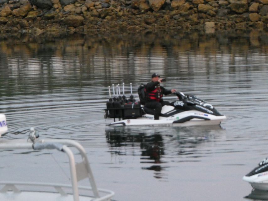
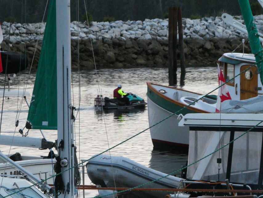
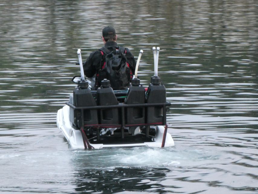
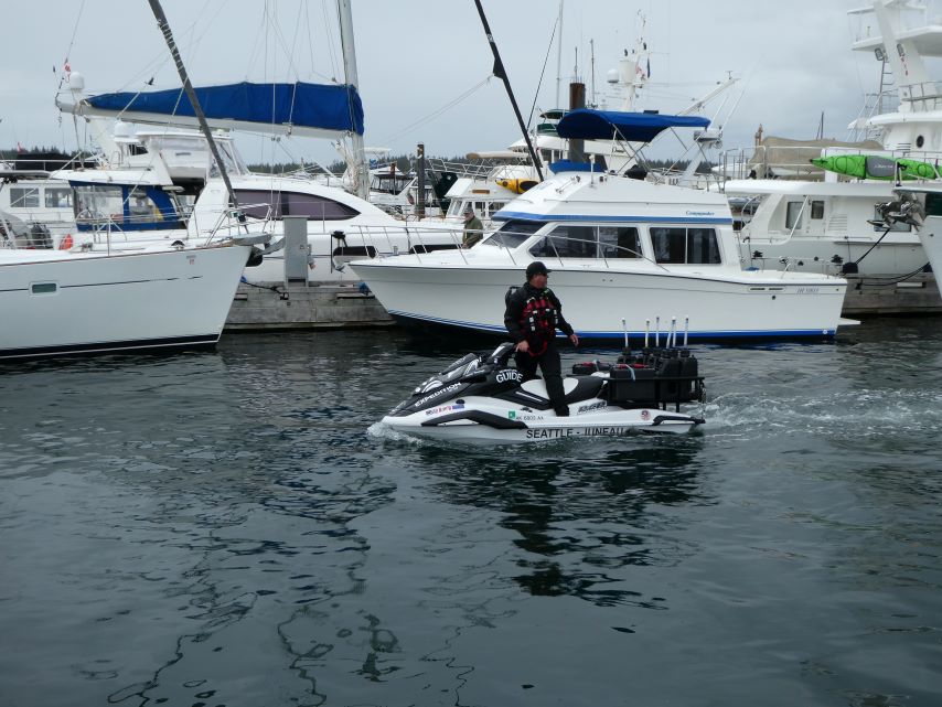
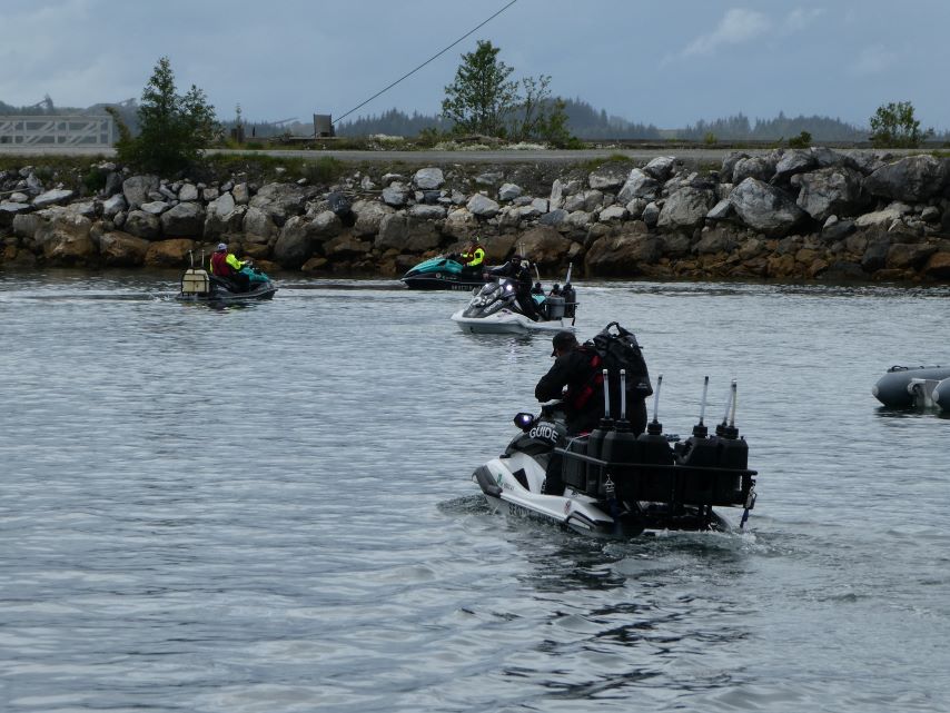
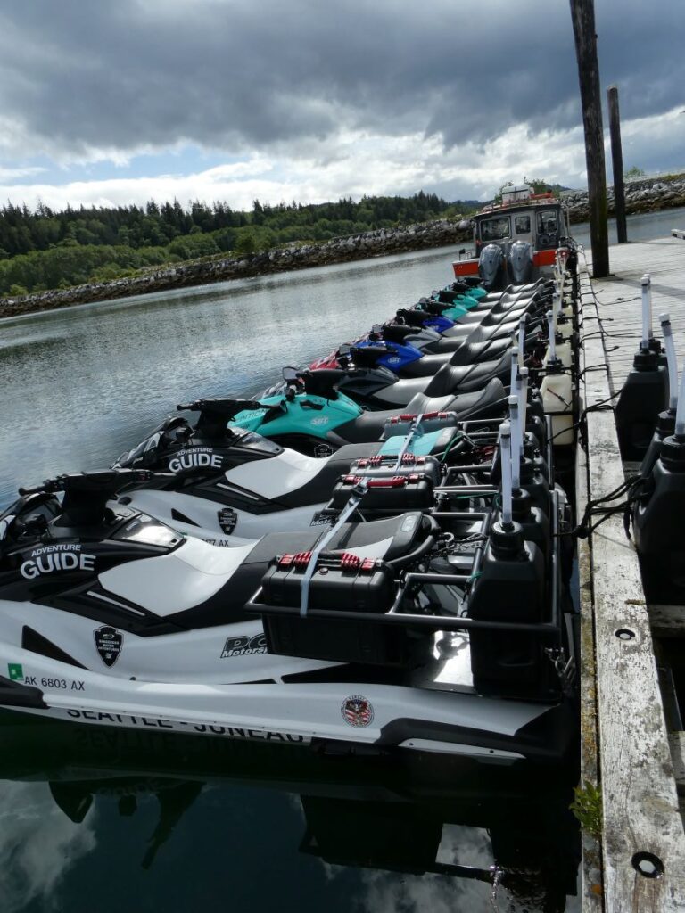
I think we found our next adventure. Today we saw a big fancy jet ski pull into port with three decals: Adventure Guide, Seattle – Juneau, and Dangerous Water Adventures. The adventure guide was talking to the dock hands, and we could only guess what was coming next. Sure enough, nine more jet skis came around the breakwater. The group is on a 10-day, 1000-mile jet ski trip from Seattle, Washington to Ketchikan, Alaska. You might think that sitting on a jet ski for 10 days would be boring, but being out on the open ocean surrounded by nature can be an amazing experience. The group of 2 guides, 3 female and 5 male customers would disagree, they were happy, excited, and ready for a shower and some food. This trip can be a family adventure, as one couple brought their two adult sons with them. Check out their site and make sure to click on the video link:
https://dangerouswateradventures.com
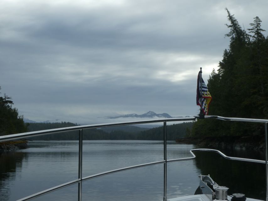
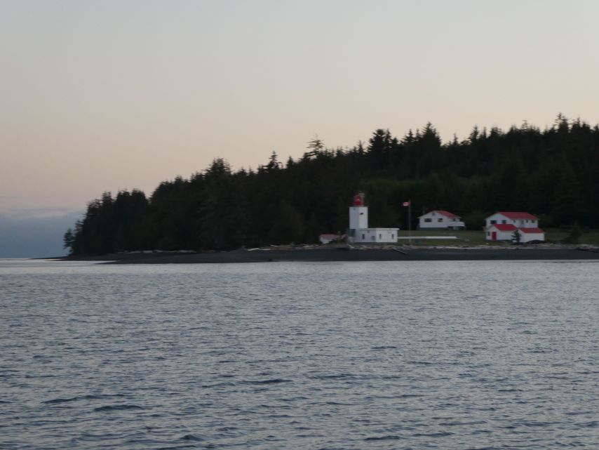
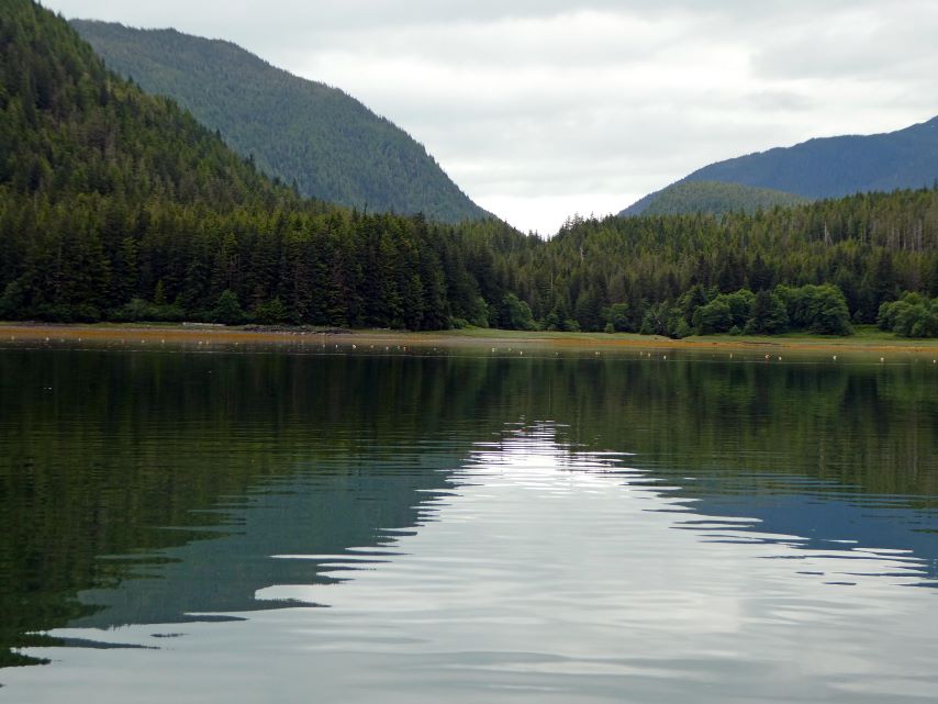
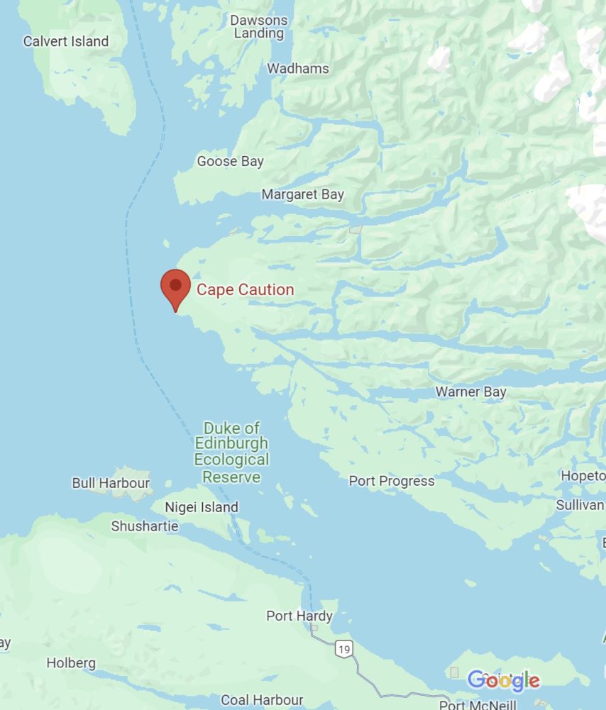
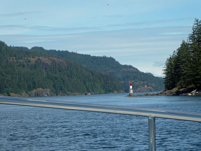
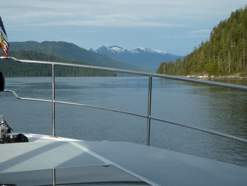
To continue our adventure, we need to go around Cape Caution which is situated on the western end of a large unnamed peninsula. As the name reflects this area is known for its turbulent waters and rocky coastlines. Every Captain has a Go-No-Go list of when to leave a safe port. We are waiting for the next good weather window to make the 40 mile trip from McNeill to Fitz Hugh Sound on the east side of Calvert Island.
The shortest most direct route from Campbell River to Port McNeill, a northern community on Vancouver Island, is to take Discovery Pass north though Seymour Narrows to Johnstone Strait and continue up the Island on Queen Charlotte Strait. The alternative is to transit the inside route through the Broughtons, which is the most sheltered route.
Choosing the coastline of East Vancouver Island should not be done on a whim, you must be constantly aware of the wind, tides, currents, floating logs and other boats.
Below is a description of Seymour Narrows and Johnstone Strait from our Waggoner’s Cruising. You can never have to much information; we have several guide books with us.
Seymour Narrows
“Northbound vessels: On small tides, northbound vessels should arrive off Maud Island light an hour before the end of the ebb, or an hour prior to high water slack, before the ebb begins. Once into the narrows, steer toward the tongue of the current stream (east of mid-channel) to avoid the whirlpools and eddies north of Maud Island up to North Bluff. On big tides, low-powered vessels will find it prudent to be at the Maud Island light at high water slack or just a few minutes into the north flowing ebb.
If the slack is at low water, arrive at the pass before the end of the ebb. Slack on large tides is not very long, five to ten minutes at most. You’ll want to be past Brown Bay before the southflowing flood gets underway. It can be brutal in a slow-moving boat. You may find a back eddy along the eastern shore. On a large flood, Seymour Narrows can reach 16 knots, no place to be in any kind of boat…Stay on your side of the channel (i.e. to starboard) to clear of any tugs or large ships headed the other way. The good news about Seymour Narrows is that there are no obstructions and just one strong, main stream.”
Johnstone Strait
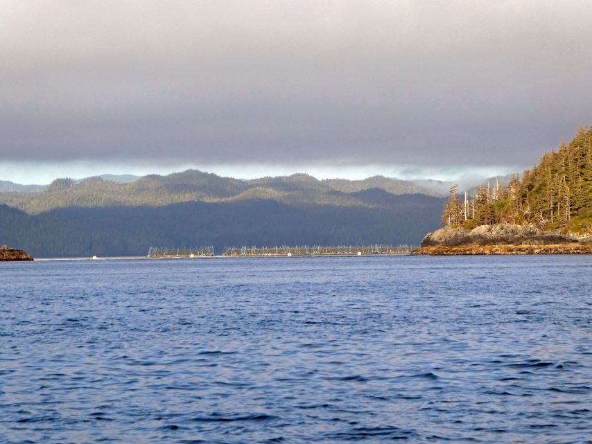
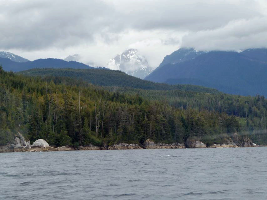
“Johnstone Strait is a seductive and difficult body of water. The strait begins at Chatham Point in the east, stretches 54 miles along the northeast side of Vancouver Island to Blinkhorn Peninsula. It is the shortest route up- or down-island. Especially when on the Vancouver Island side, Johnstone Strait bound by steep, high and beautiful mountains. On a clear day the scenery is awesome.
That is the seductive part. The difficult part is what the wind and current in Johnstone Strait do to each other. The flood current flows eastward, down-island, toward Discovery Passage and Campbell River. The ebb current flows westward, up-island, towards Charlotte Strait, increasing the west-flowing ebb current’s strength and duration. In the summer the prevailing wind in Johnstone Strait is a westerly, often a gale-force westerly, funneled by the mountains. The result is a classic wind-against-current heaping up of the seas…Despite the potential problems, we have run the length of Johnstone Strait, both directions many times, and often had an excellent ride. But we listened to the weather and went when conditions were calm on near-calm. If the wind had come up, we were prepared to run for cover in a bay or seek out a friendly point to hide behind until conditions improve. We have always kept a bail-out point in mind. Conditions can change quickly.
Watch for drift in Jonston Strait. There’s considerable current activity and many shear lines where scrap wood, tree limbs, logs, and even entire floating trees accumulate.”
Rick spent hours studying the guidebooks and listening to weather forecasts before we made a decision ; we would go though Seymour Narrows spend the night at Blind Channel Resort and wait till the Friday morning weather forecast to make the final decision, Jonnstone Strait or the Broughtons.
Seymour Narrows (May 30-Thur)
Beautiful blue skies with wonderful billowing white clouds. Mother Nature certainly blessed us with a beautiful day.
Blind Channel Resort (May – 31 Fri)
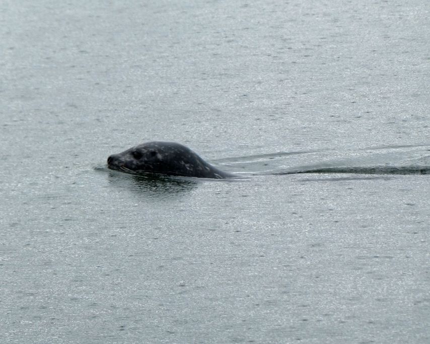
Up at five on Thursday morning we checked all of our weather apps and they all agreed, it will be a good for traveling Johnstone Strait This was our chance, Johnstone Strait it is. Not so many pictures today, I was busy watching for markers, logs, boats, ferries. In the process I saw birds, seals, otters and a dead head (a log the is floating vertical and can cause a lot of damage to a boat). I was a bit surprised that the depth gauge bottomed out at 1,680 feet deep.
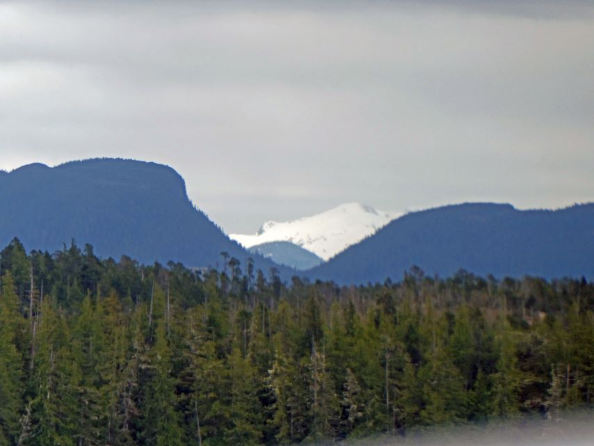
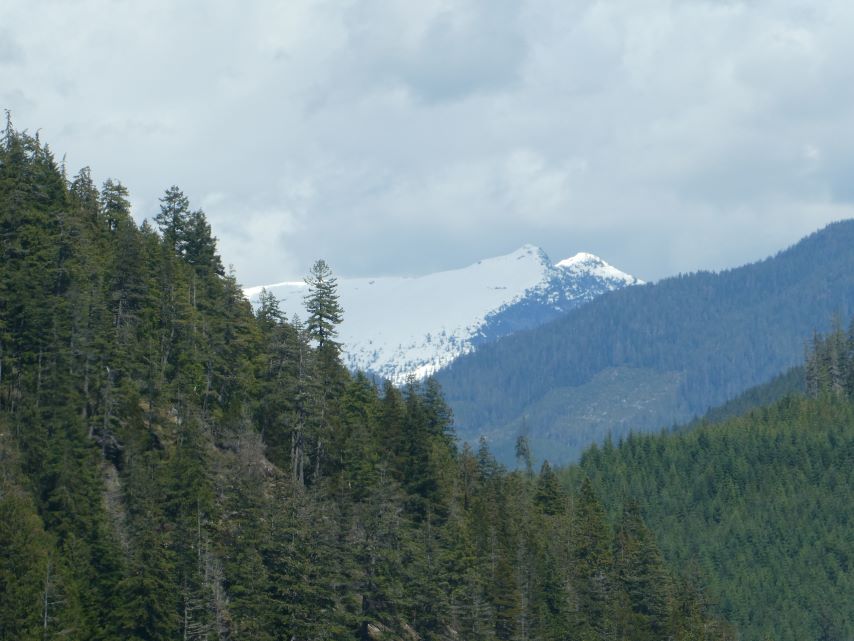
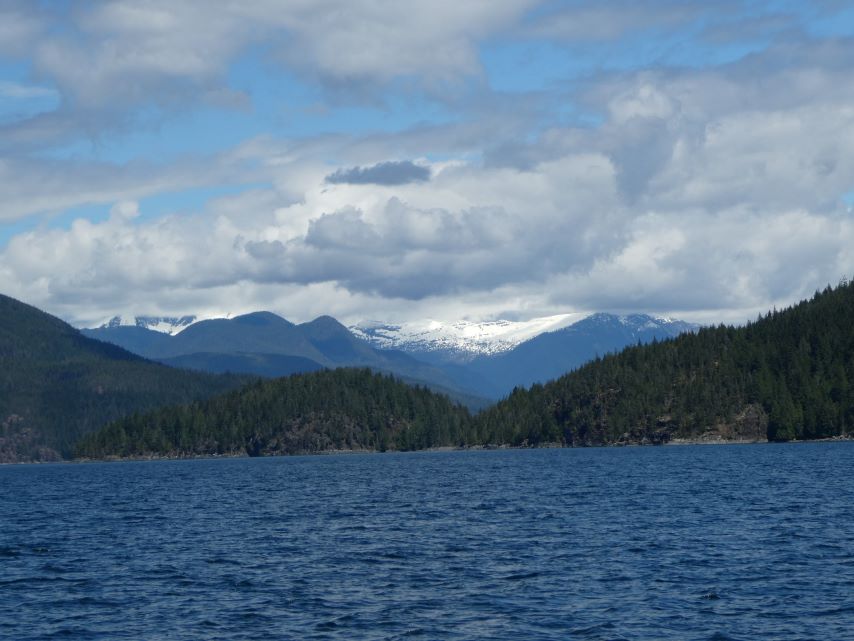
Johnstone Strait
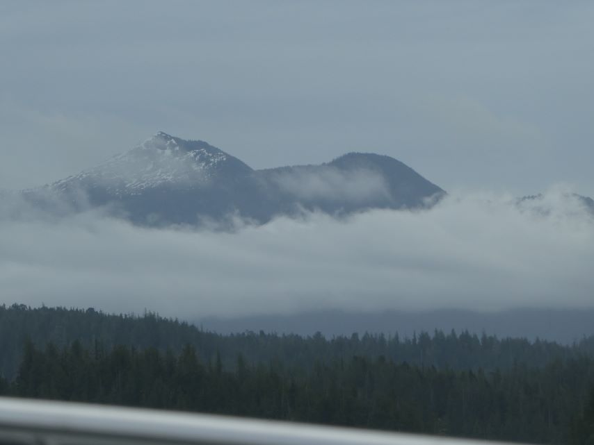
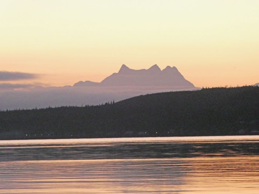
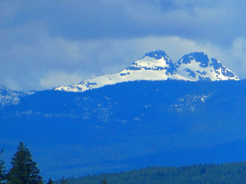
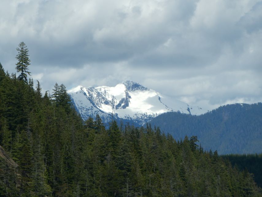
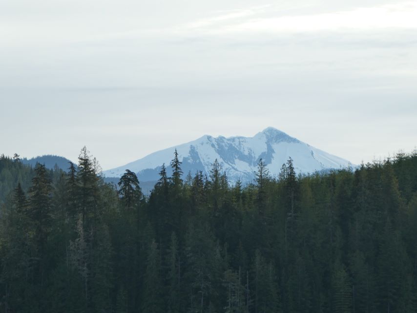
Mother Nature may not have given us blue sky’s with billowing white clouds today but she certainly provide us with outstanding views of snow covered mountains.
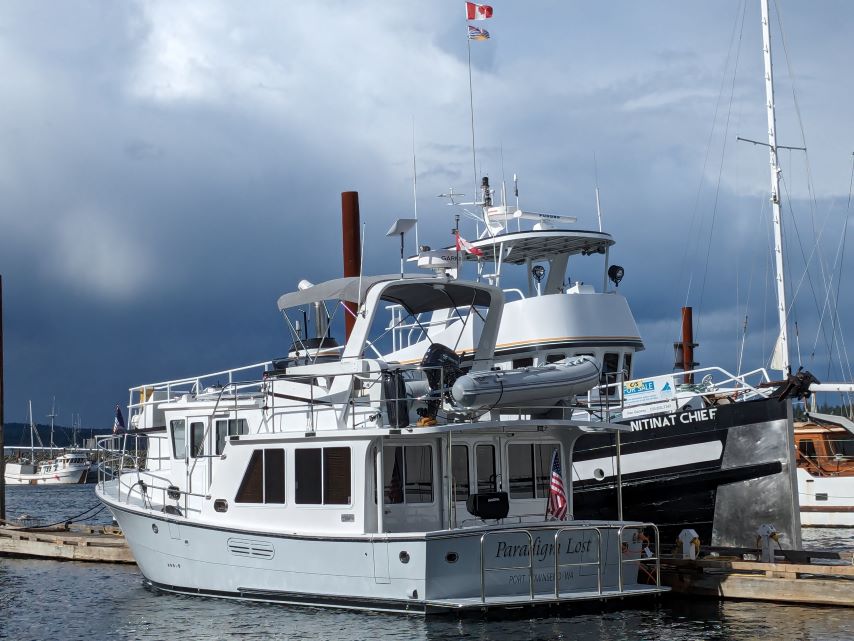
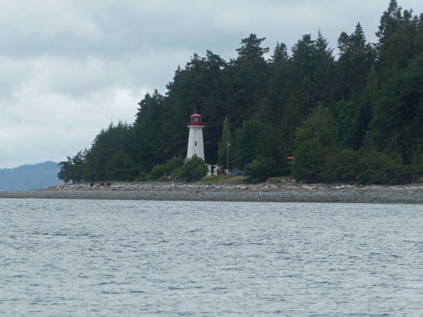
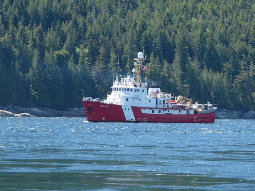
Port McNeill (May 31-Fri)
Welcome Party
We left Comox at 7:00 am and made a 5 hour trip to Campbell River. Rain Showers followed us most of the day with 2-3 foot following seas. Campbell River has become a shopping mecca for the surrounding area; drugstore, groceries, clothing, gardening, marine supply, book stores, big-box stores and more.