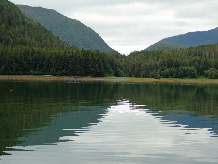
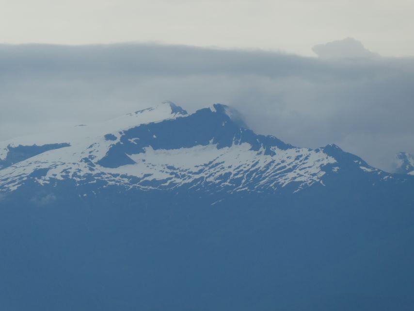
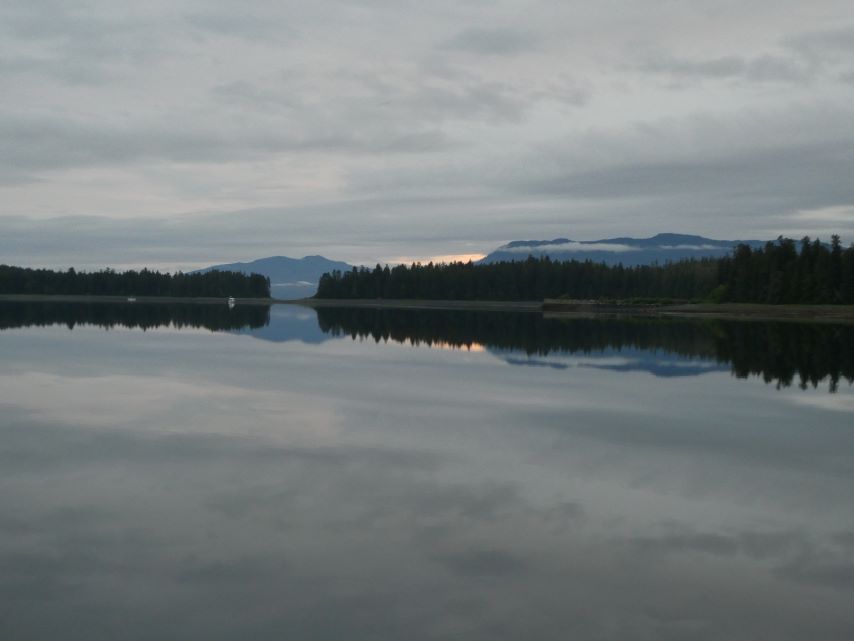
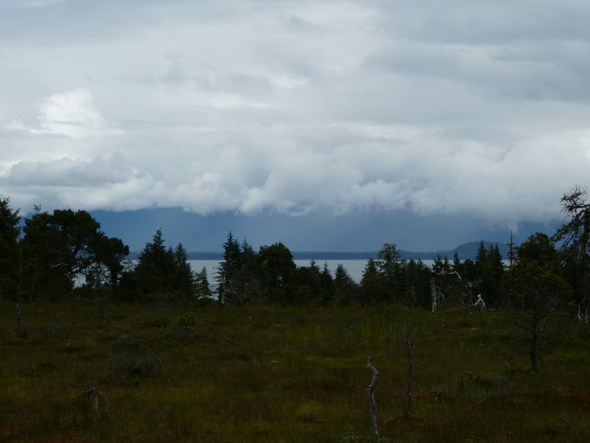
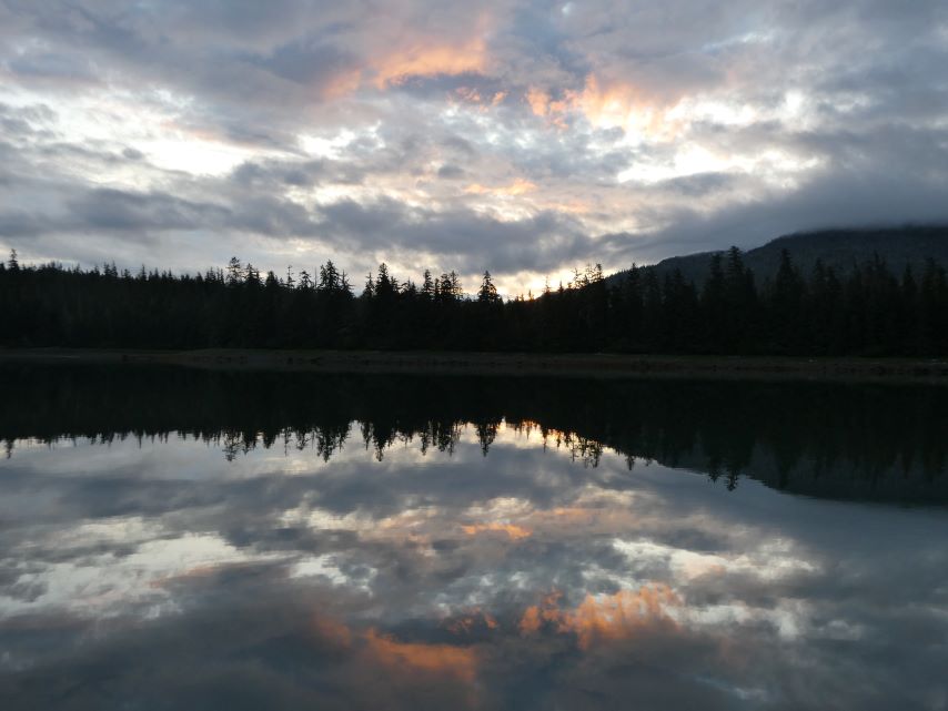
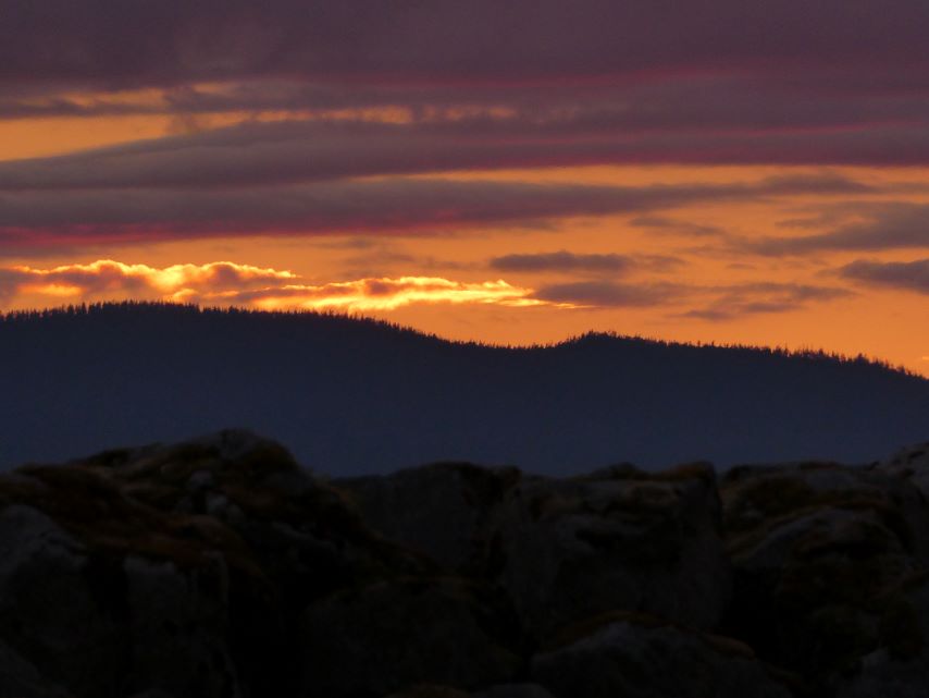
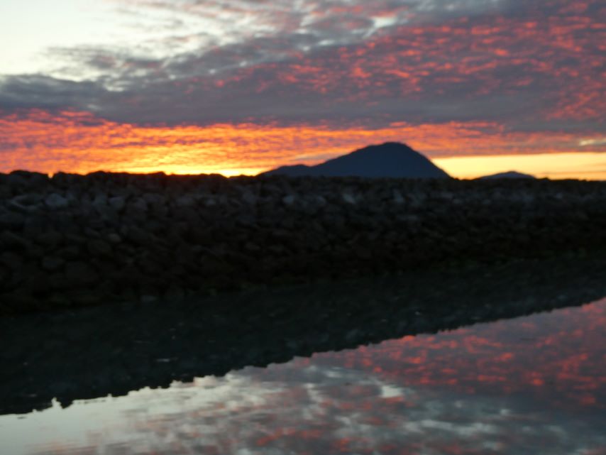
There never seems to be a sunrise or sunset in Taku Harbor, not even a mute pink in the sky but it was always beautiful.
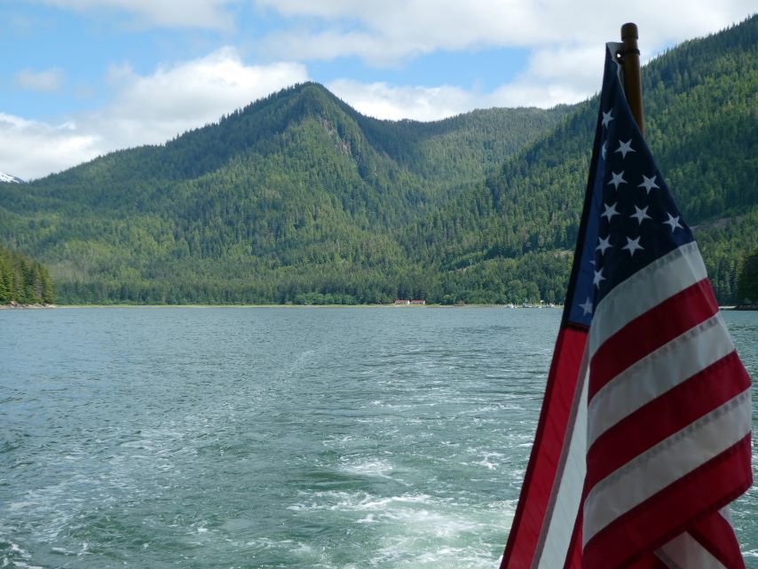
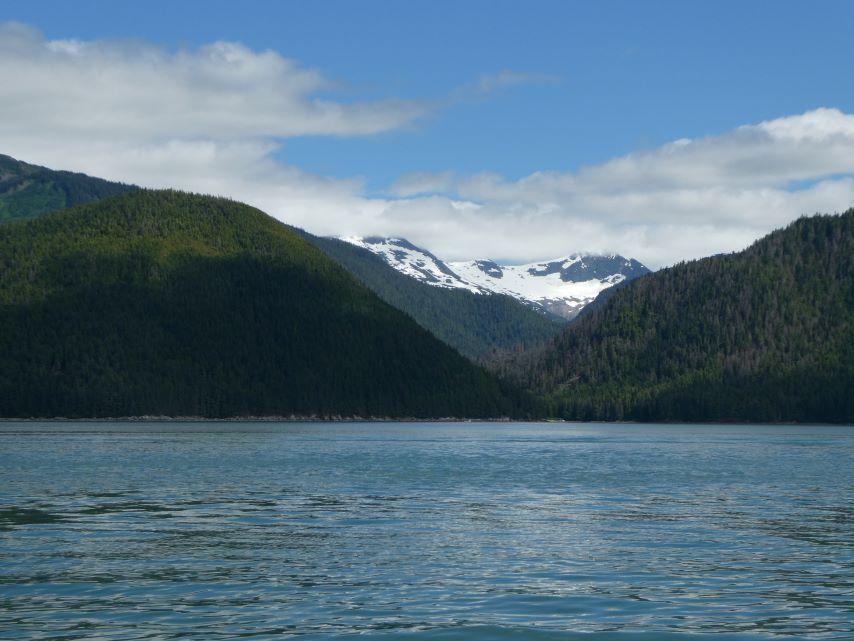
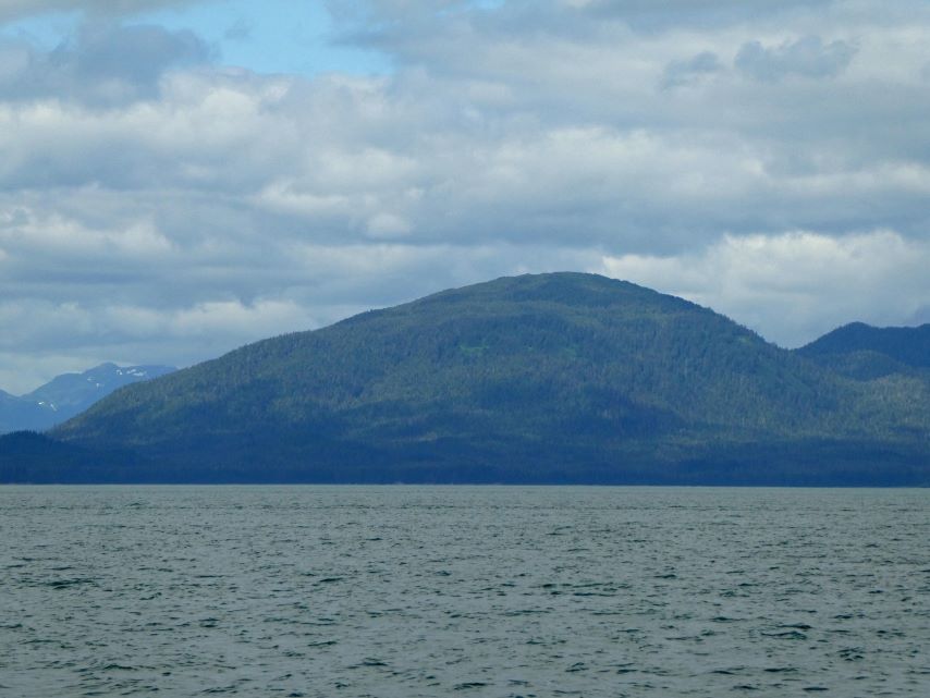
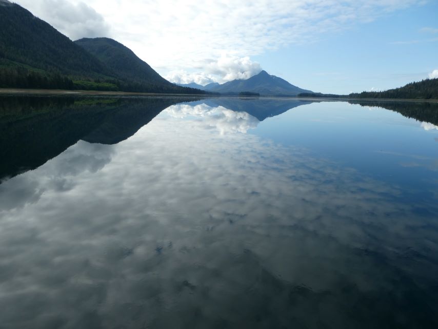
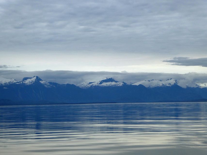
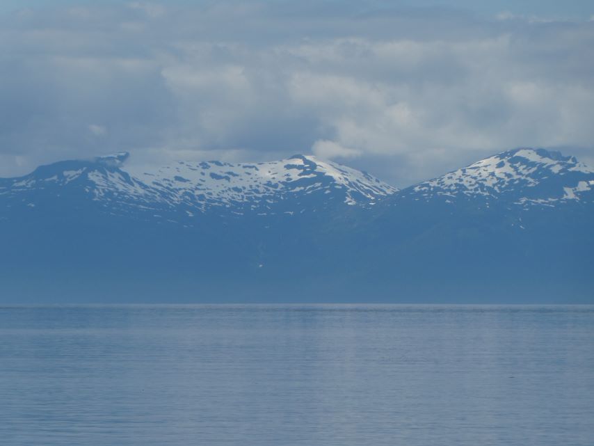
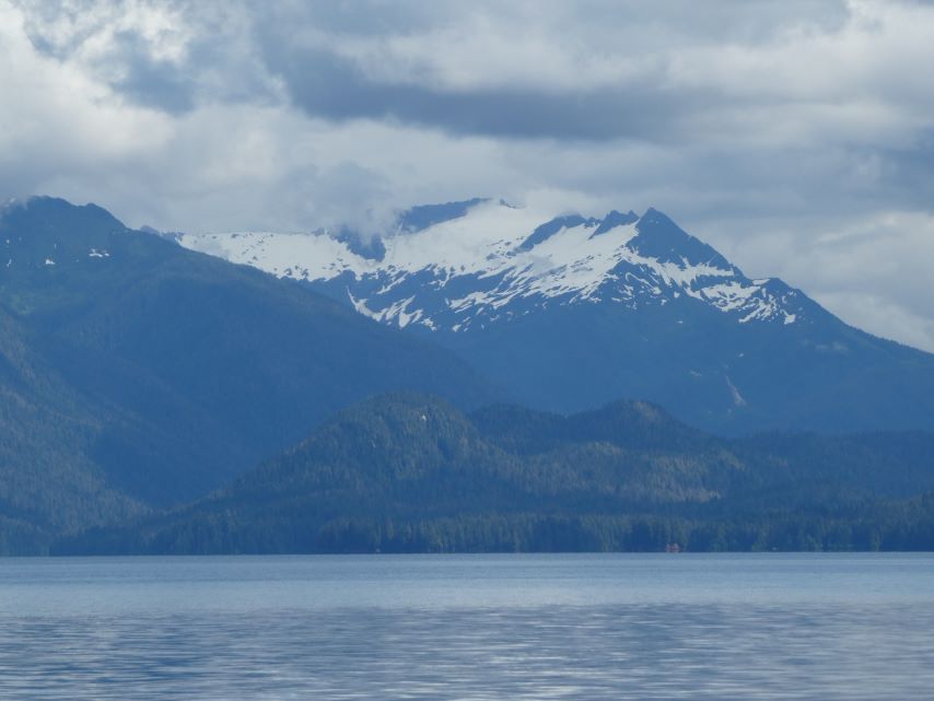
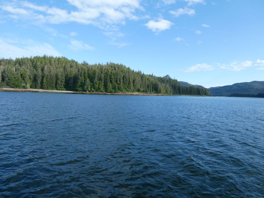
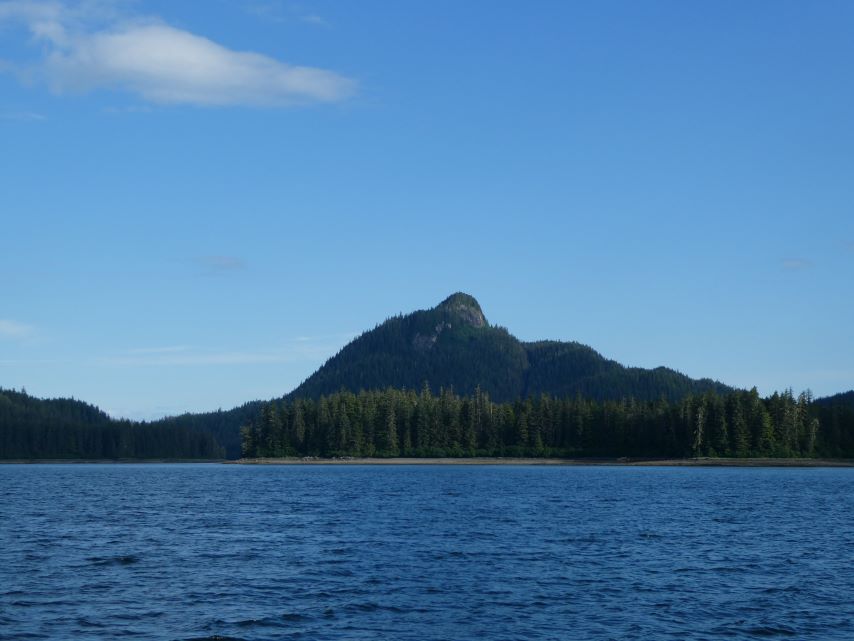
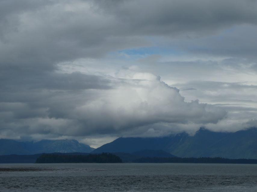
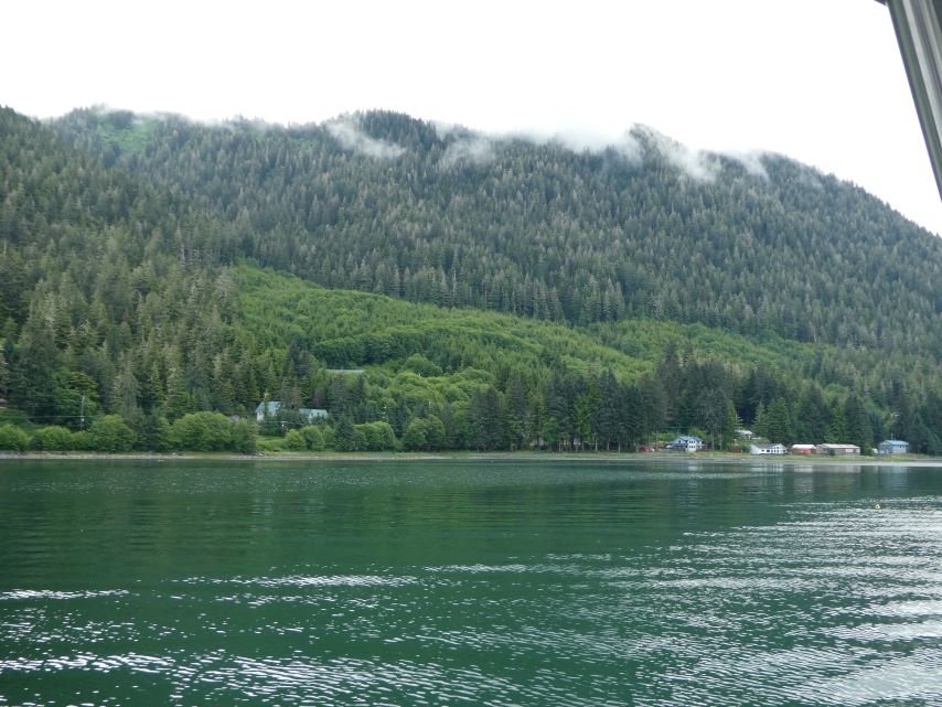
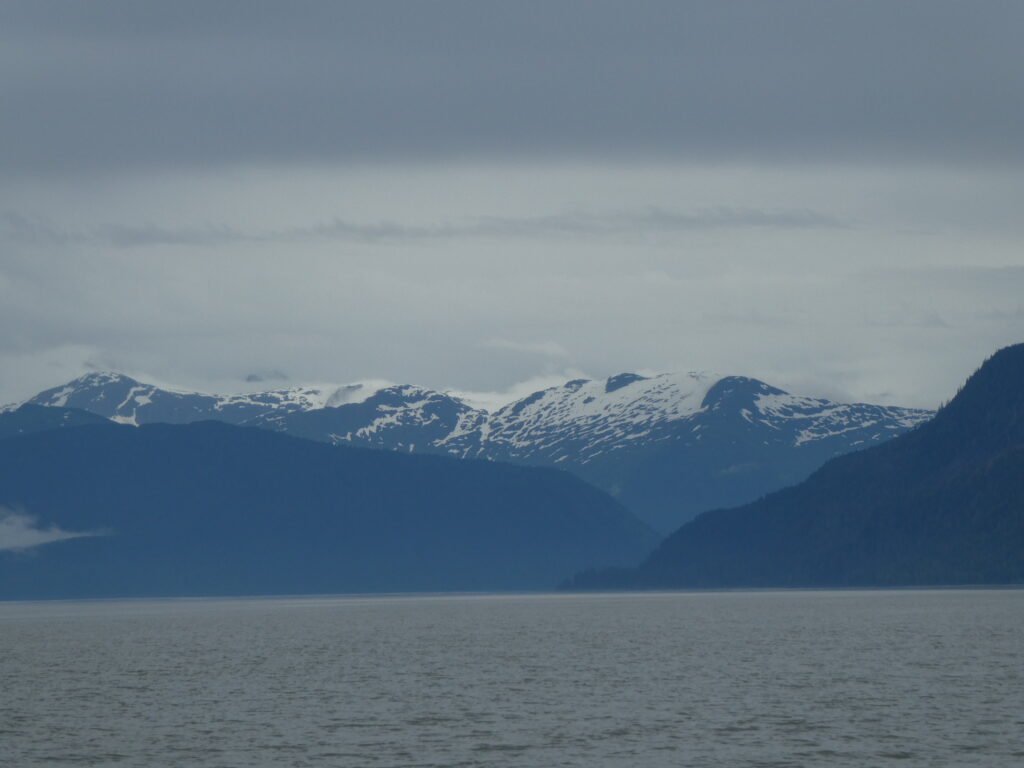
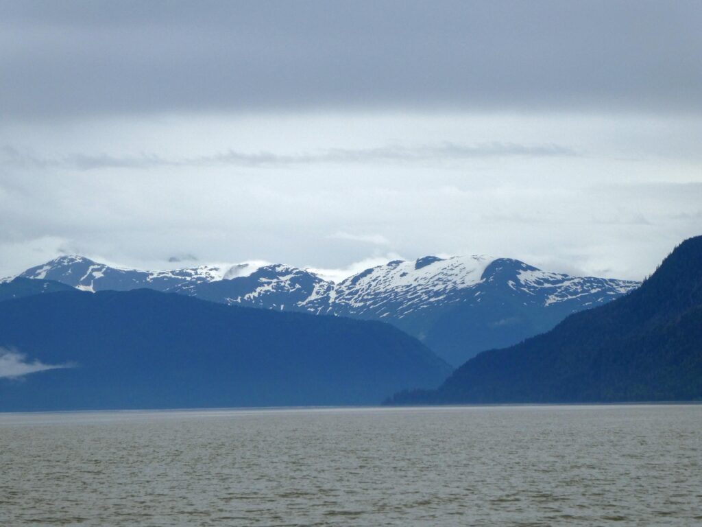
Taku Bay
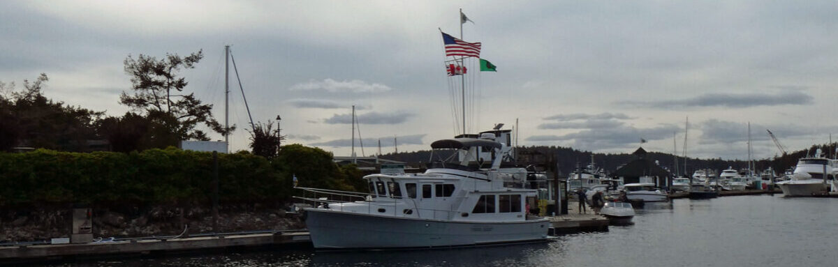
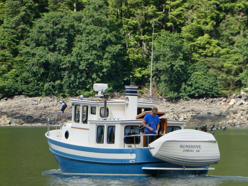
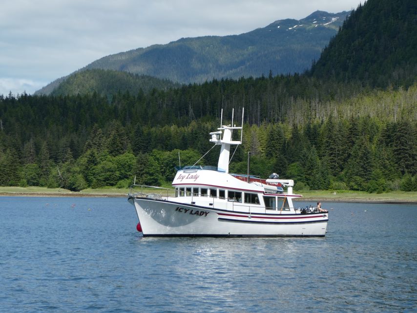
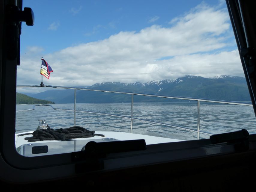
As we arrived at the dock on Friday, we noticed the boats Sunshine and Icy Lady already secured in their moorings. The families aboard these vessels, seasoned locals with a wealth of experience, graciously imparted their insider wisdom to us. Today, Sunshine is embarking for a fresh anchorage, while Icy Lady sets sail homeward. As for us, we’re bound for Juneau.
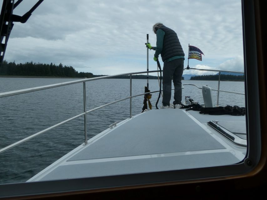
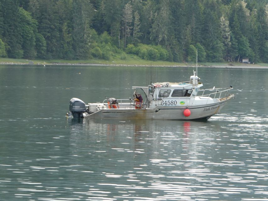
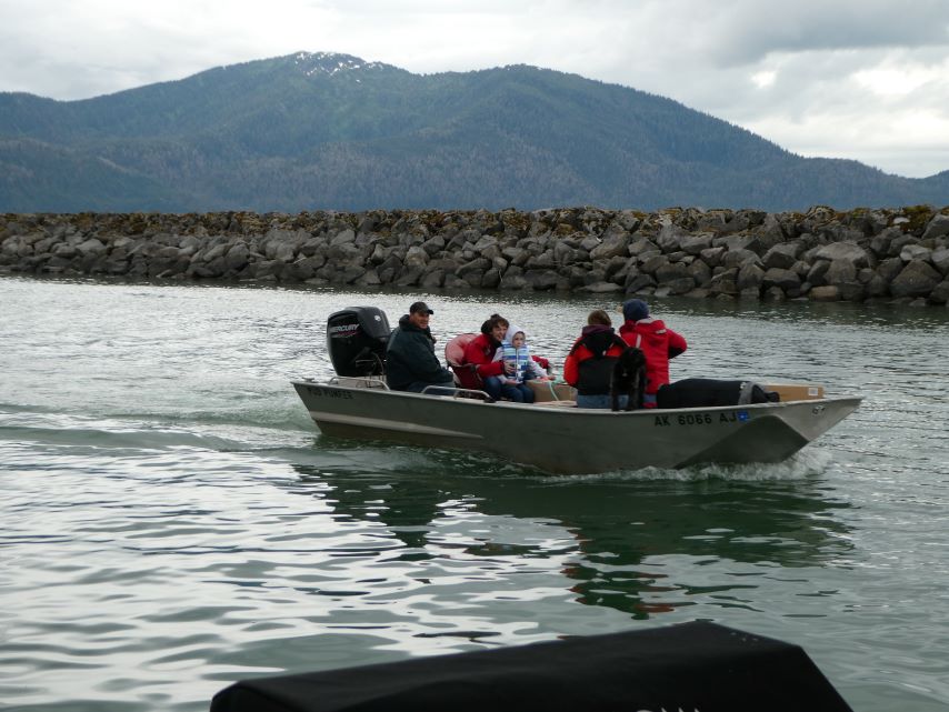
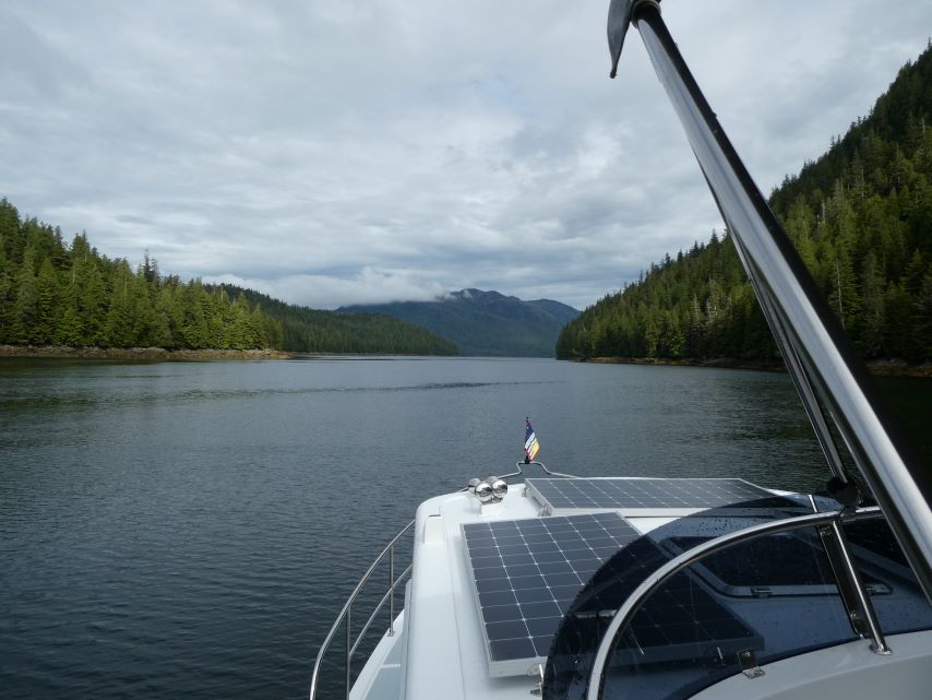
Leaving for Juneau Fishing VesselFloatsSkiff
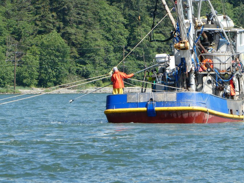
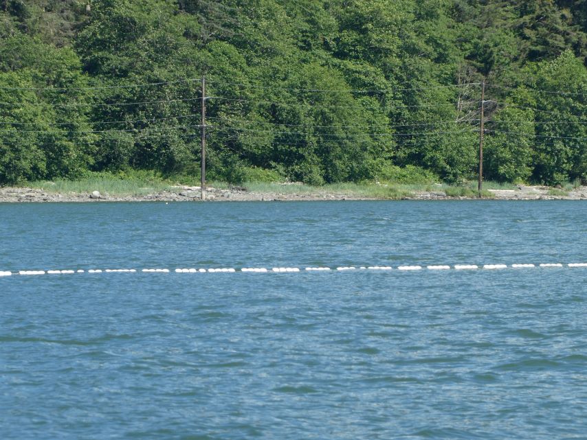
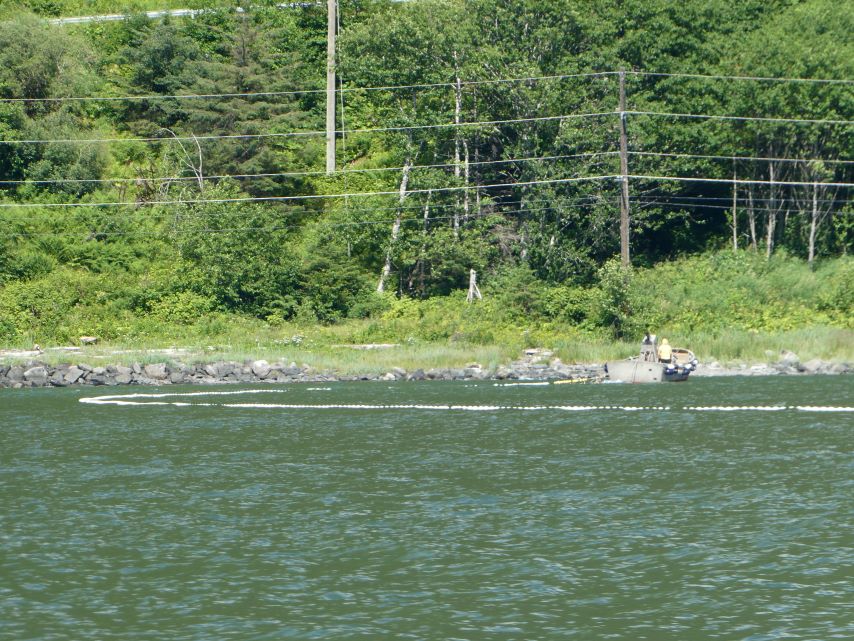
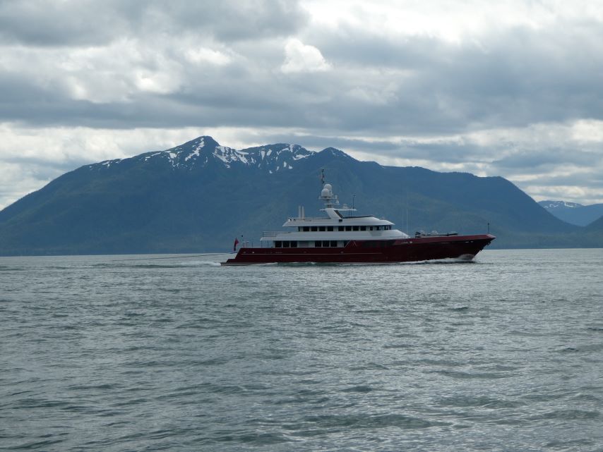
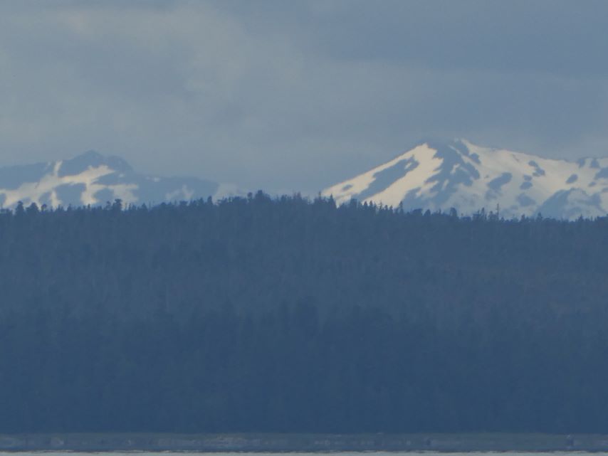
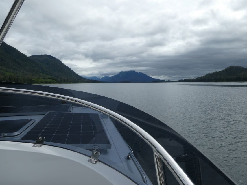
During our 20-mile journey today, we observed approximately ten boats employing the purse seine method to catch salmon. A purse seine is a substantial net wall strategically placed around an entire fish school or area. The net features floats along the top line and a lead line threaded through rings along the bottom. When a school of fish is spotted, a skiff encircles them with the net. As the lead line is drawn in, the net cinches shut at the bottom, effectively preventing fish from escaping by swimming downward.
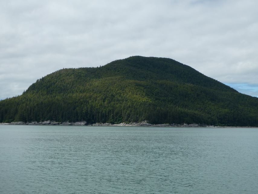
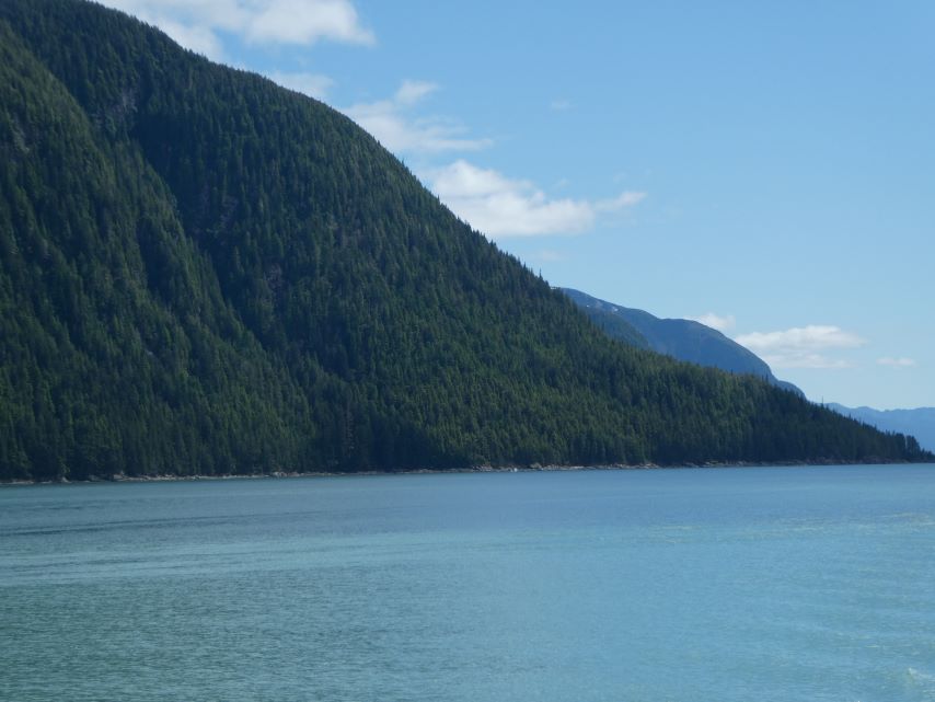
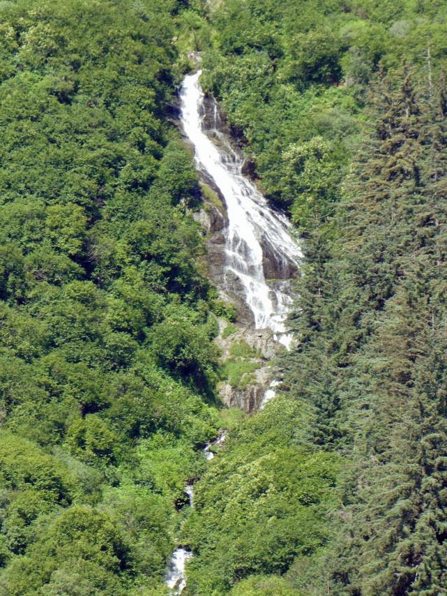
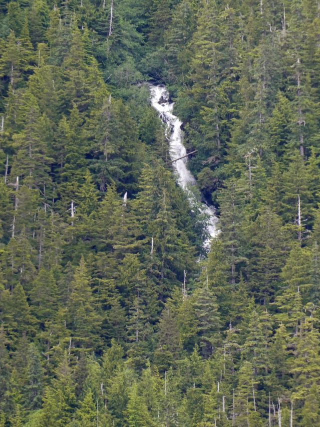
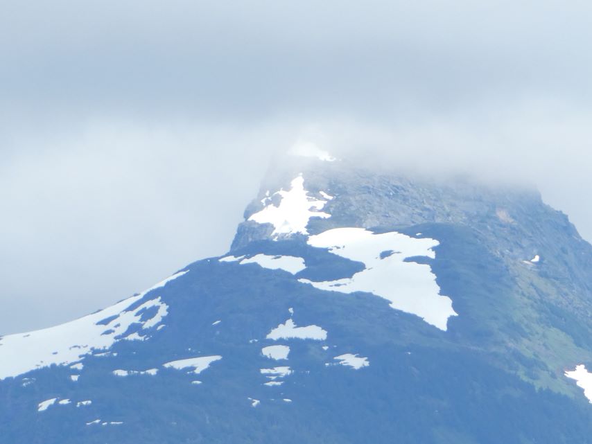
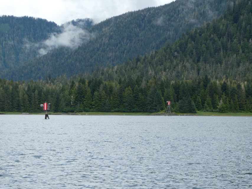
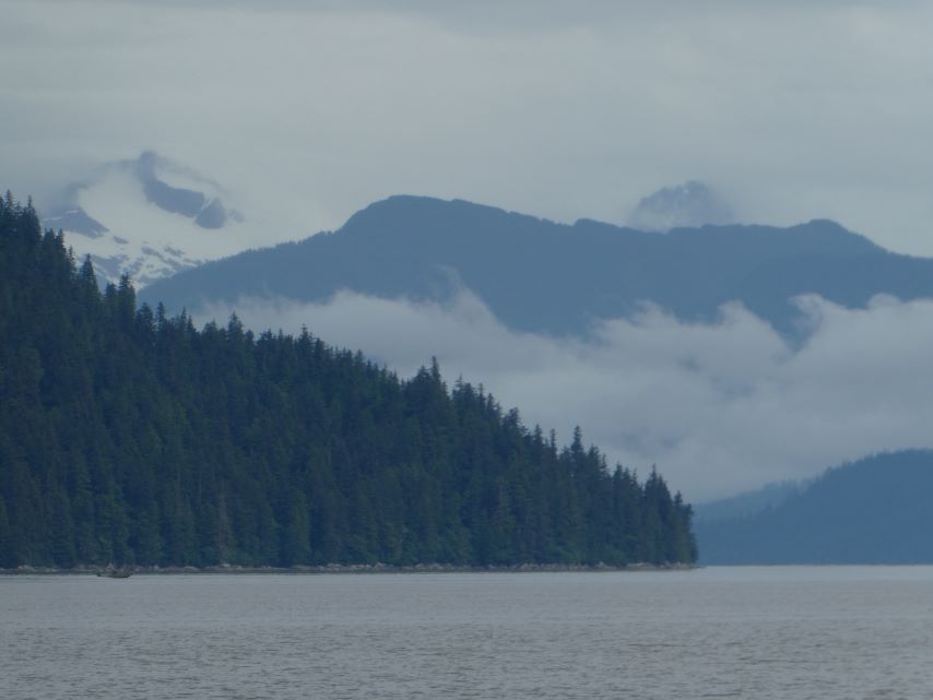
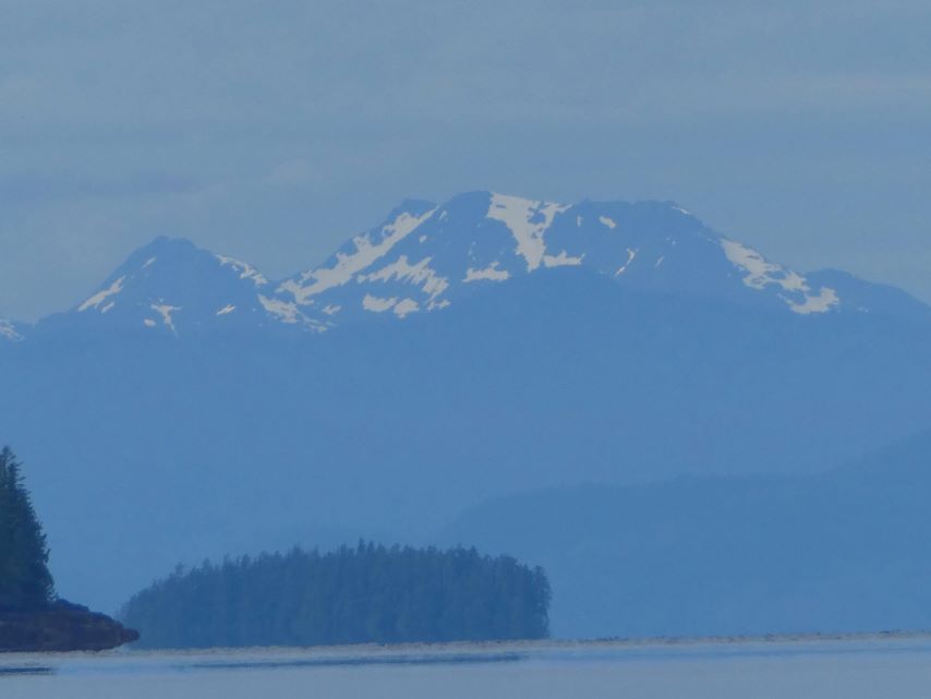
Waterfall on the way to east side of Stephen’s Passage
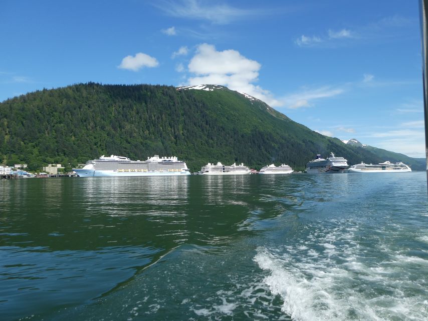
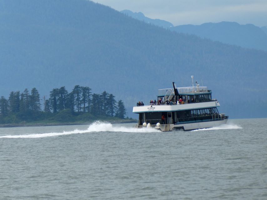
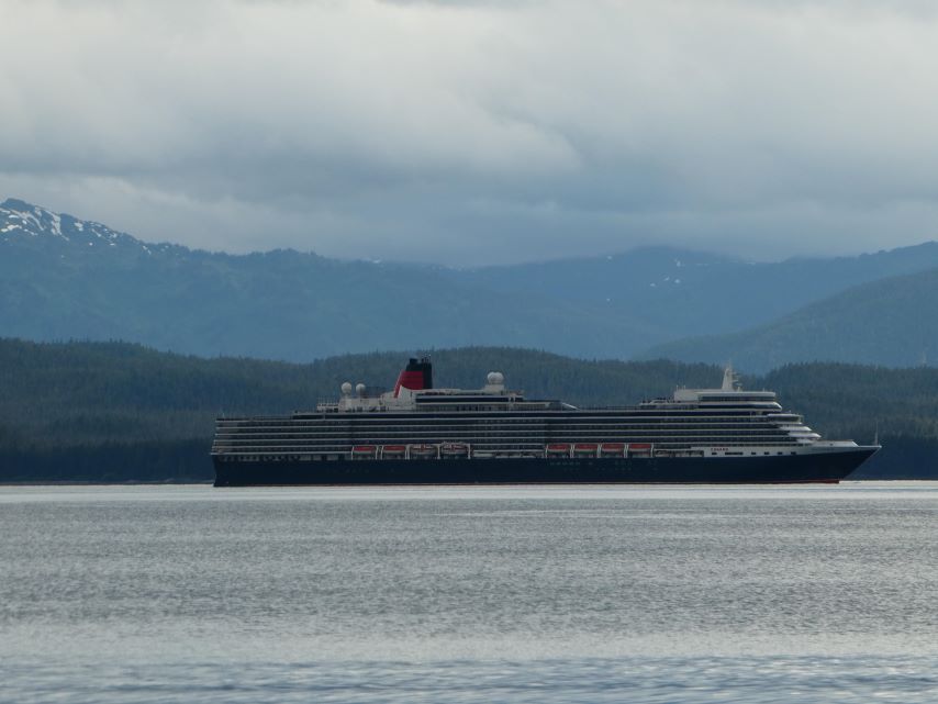
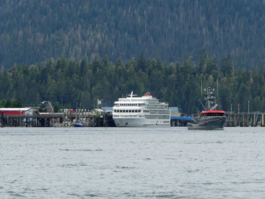
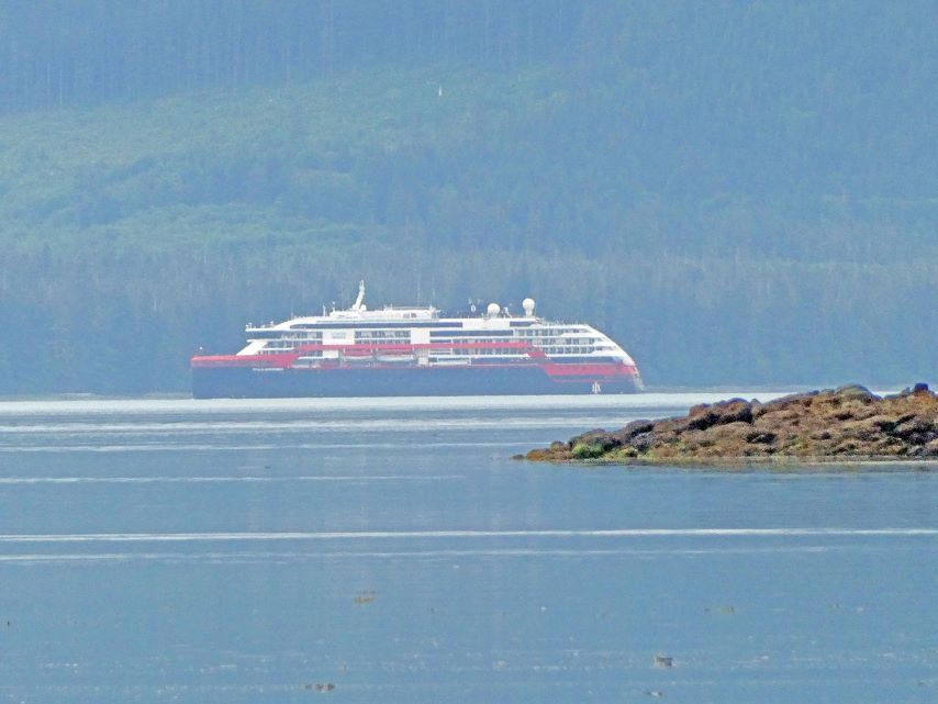
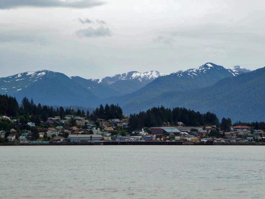
Cruise Ships in Juneau
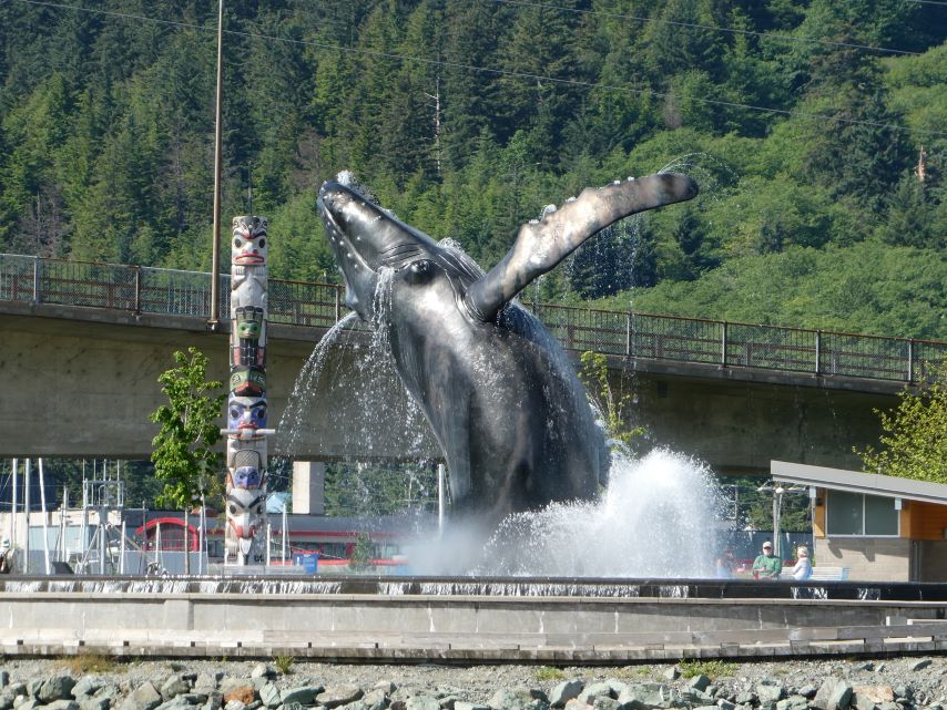
Juneau, a city of 32,000 residents, welcomes more than 1.6 million visitors annually, and on peak days, more than 21,000 tourists may visit by cruise ship.
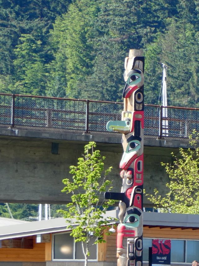
Totem Pole at Juneau City ParkTahku, the Alaska Whale Sculpture
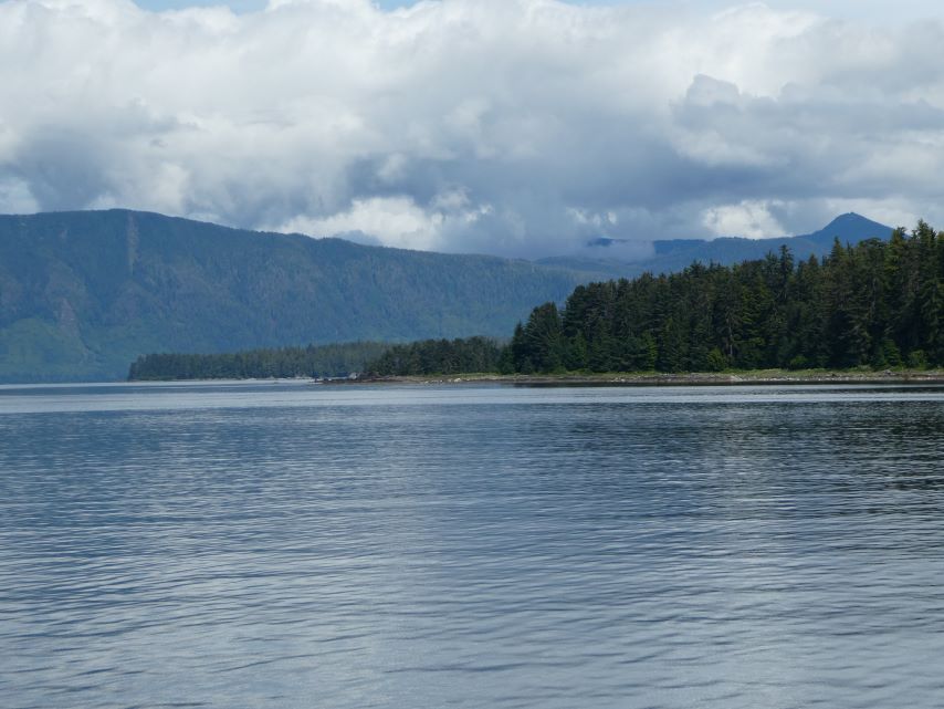
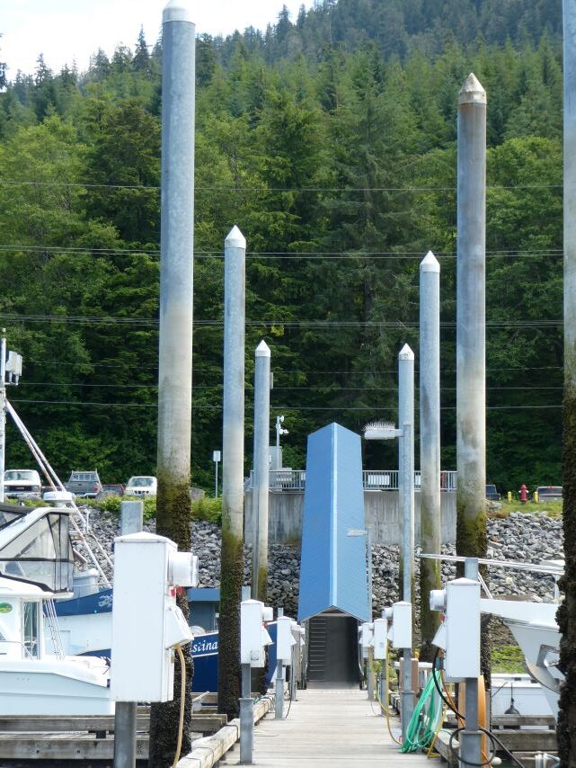
We enjoyed the view of Juneau City Park as we cruised by on our way to our marina.
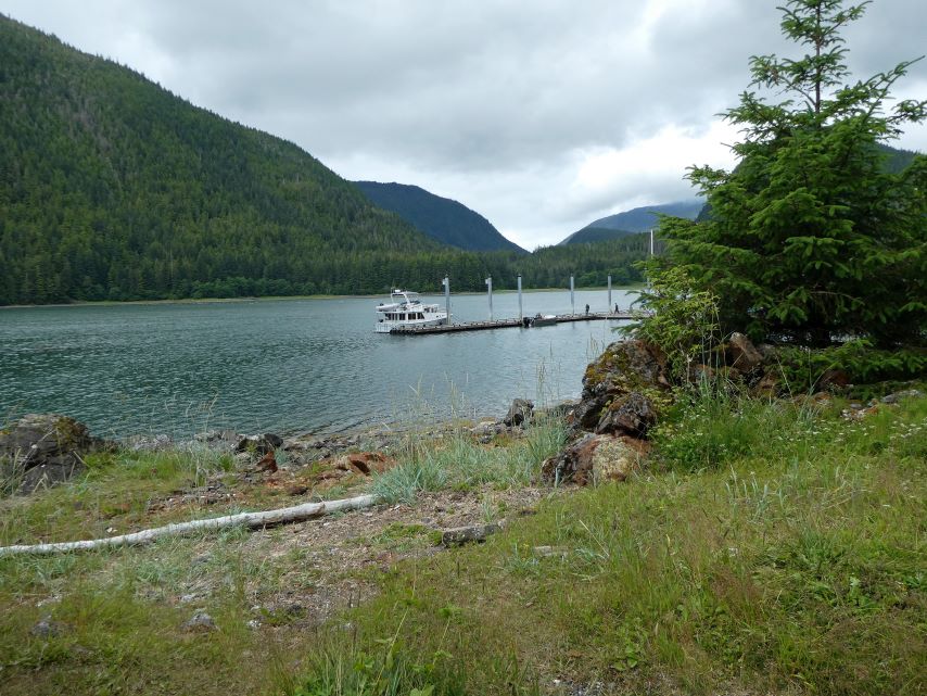
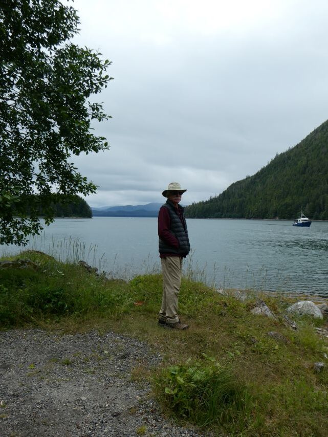
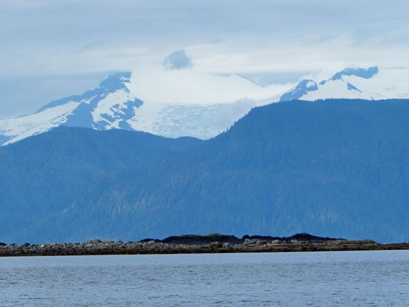
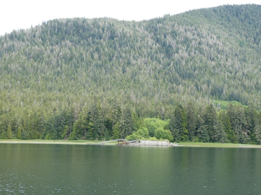
In 1840, the Hudson’s Bay Company constructed Fort Durham in Taku Bay. However, as the company’s policies shifted, Fort Durham (also known as Fort Taku) was eventually abandoned. During the early 1900s, a salmon cannery and Alaska’s first-ever cold storage plant were established in the harbor.
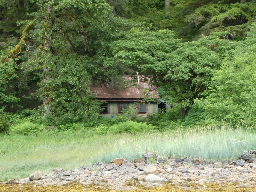
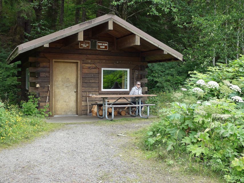
In 1920, Tiger Olson arrived in Taku Harbor to work at the cannery. When the cannery closed, Tiger became the sole inhabitant of this remote harbor. For a delightful and authentic Alaska story, I recommend reading about Taku Harbor’s Legendary Man and Myth.
Tiger Olson’s Cabin
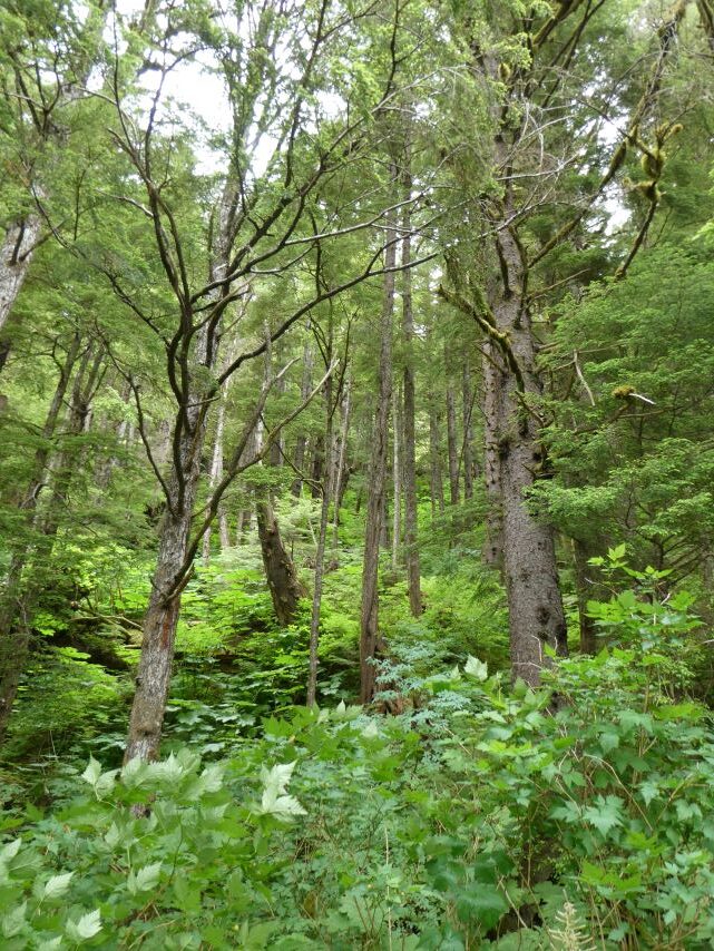
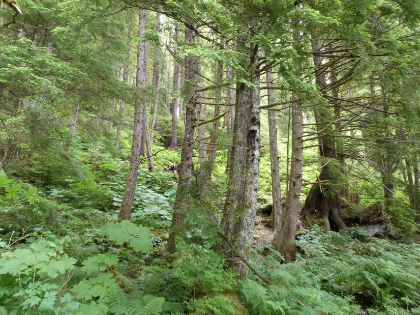
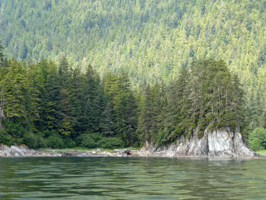
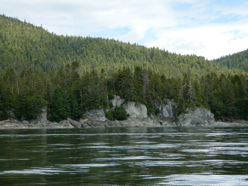
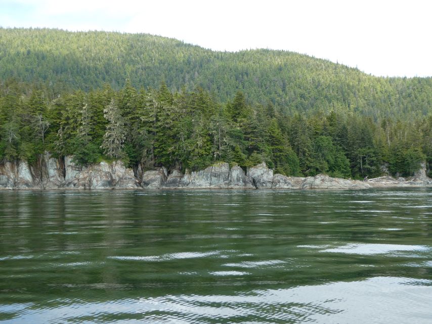
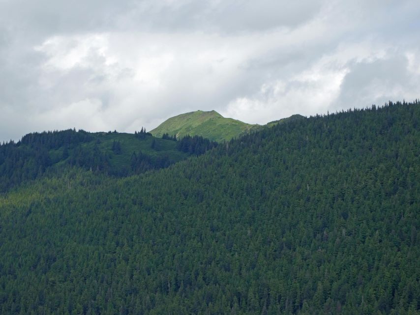
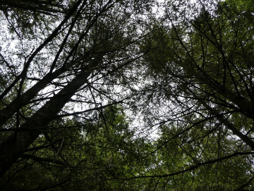
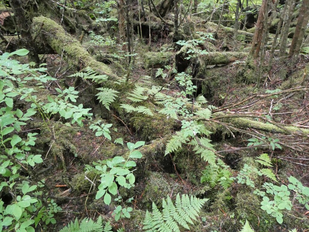
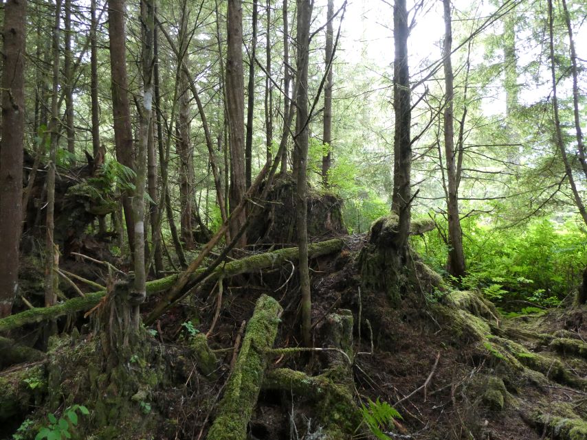
The peacefulness of a rainforest is a harmonious blend of natural elements that envelops you in tranquility. In this sanctuary of life, stress dissipates, and a sense of connection to nature prevails. It’s a place where worries fade, and the symphony of life reminds you of your small place in the grand tapestry of existence. A combination of the water and the rainforest, we are in our happy place.
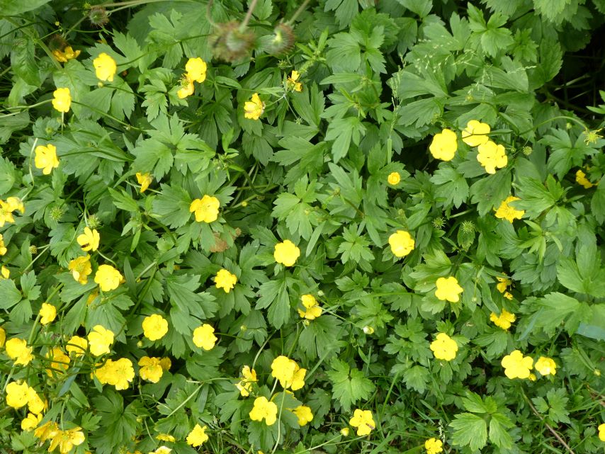
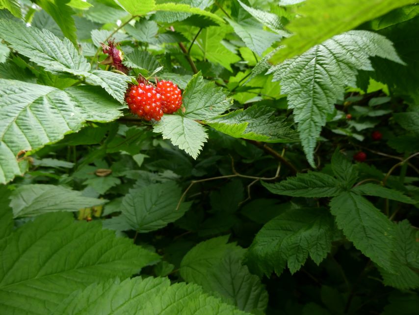
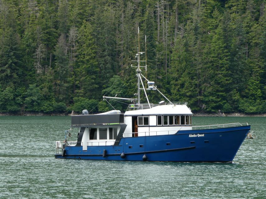
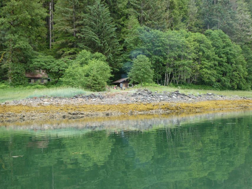
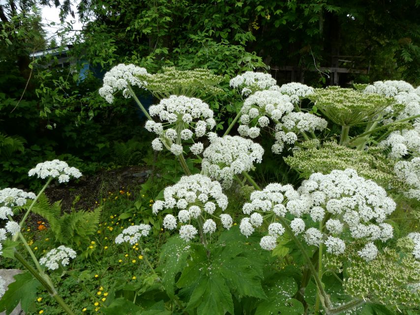
Pathway to the RainforestDelicate FlowersSalmon BerriesParadigm LostWatching Alaska Quest ArriveAlaska QuestTaking a BreakTiger Olson Cabin and Alaska State Park Cabin
I emerged from my bed at 4:00 am. The fishermen were already hard at work, gathering their crabs, replenishing bait, and releasing the traps for the next harvest. It was no simple task—I counted 52 floats, though I’m not entirely certain I tallied them all.
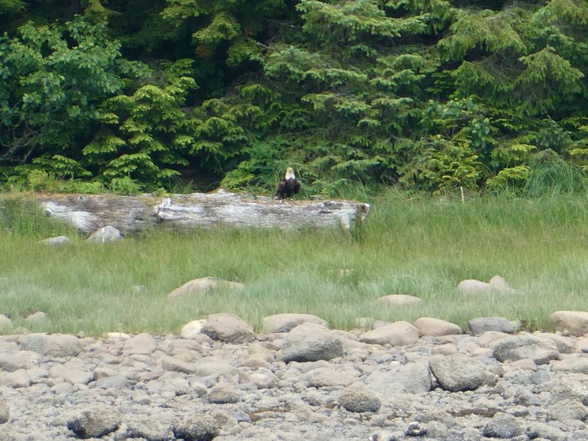
As we departed Snug Cove, the overcast skies gradually transformed to bright blue, and an eagle gracefully trailed behind us.
Entrance of Gambier Bay
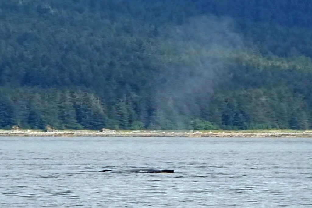
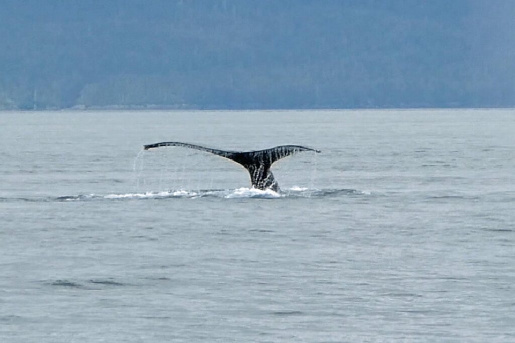
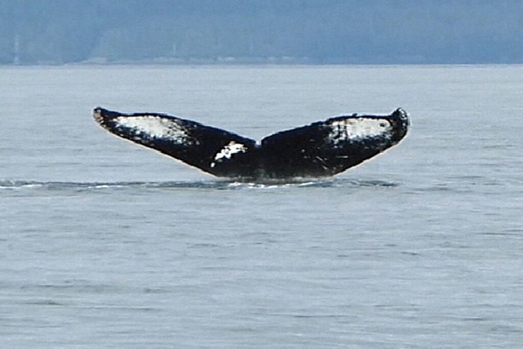
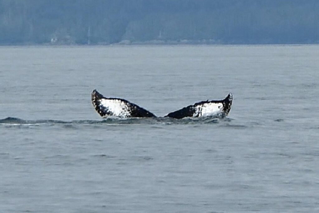
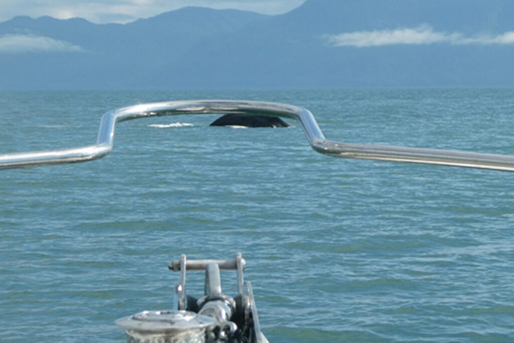
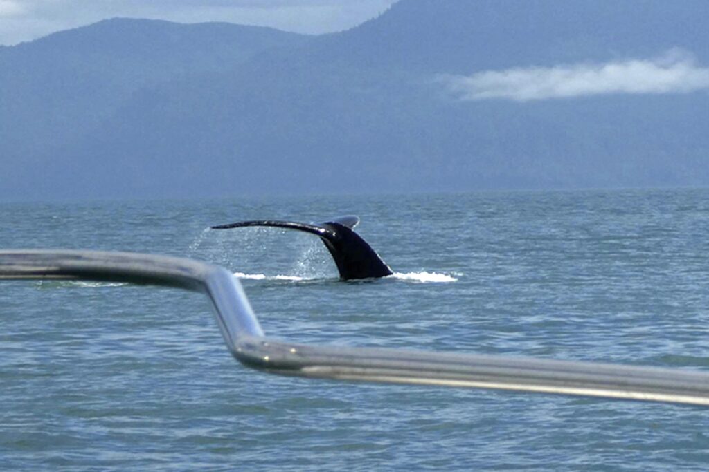
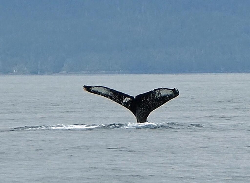
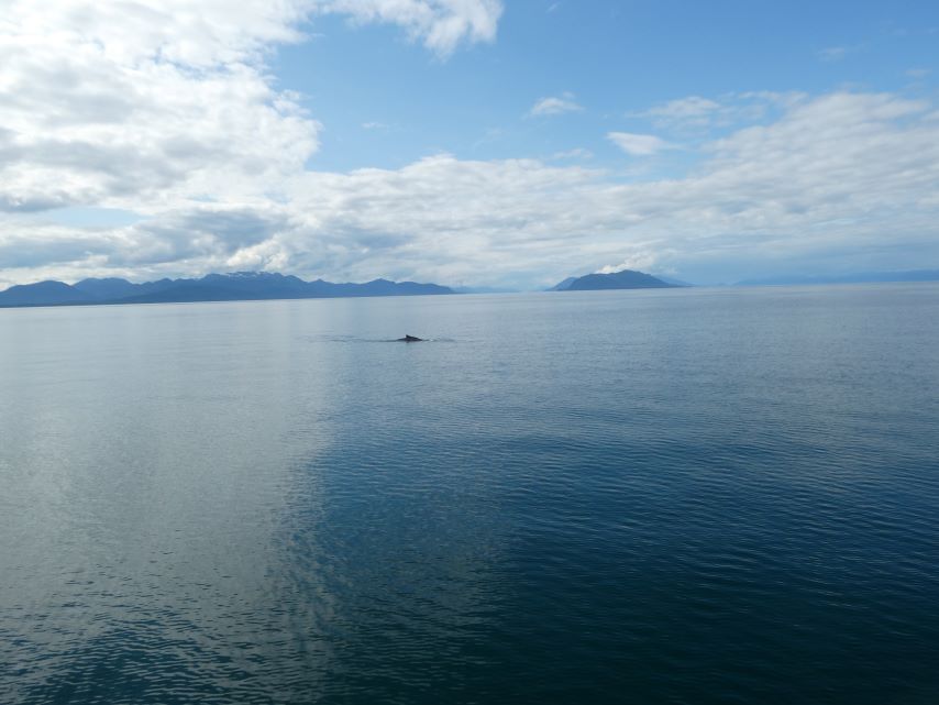
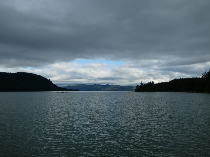
After carefully navigating the rocky entrance of Gambier Bay, we found ourselves back in Stephens Passage. Just like the previous day, we were treated to an incredible show as the whales foraged for food.
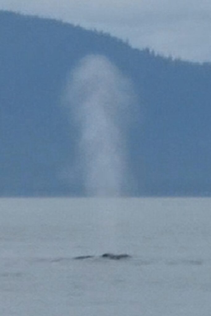
Humpback whales can spout water, or create a cloud of air and condensed water vapor, up to 20 feet high and their spouts can be heard from up to 800 feet away . You can barly see this spout but if you can see it on the water you have a better change at getting a picture of the whale coming out of the water.
In this case, I saw the spout and still didn’t get the picture.
Surprise
In this case I had to take the picture from inside.
Had to stop the boat for this one.
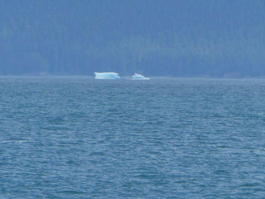
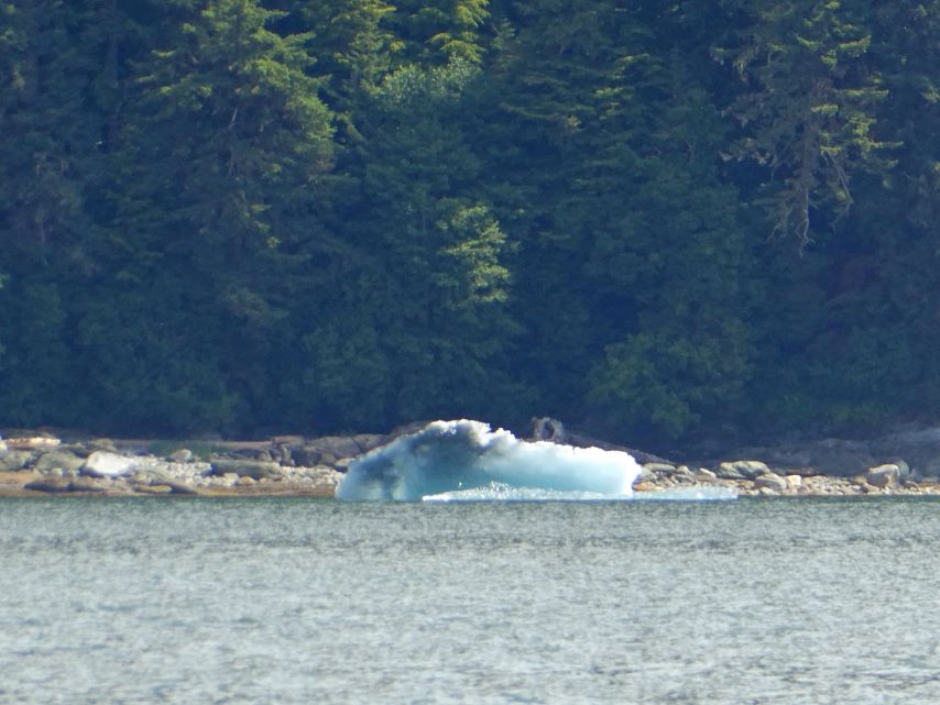
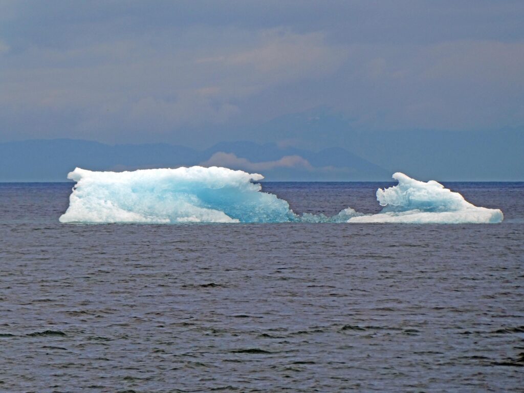
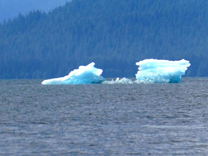
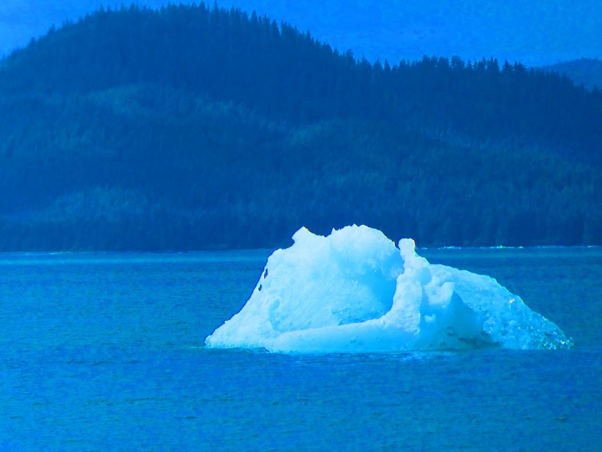
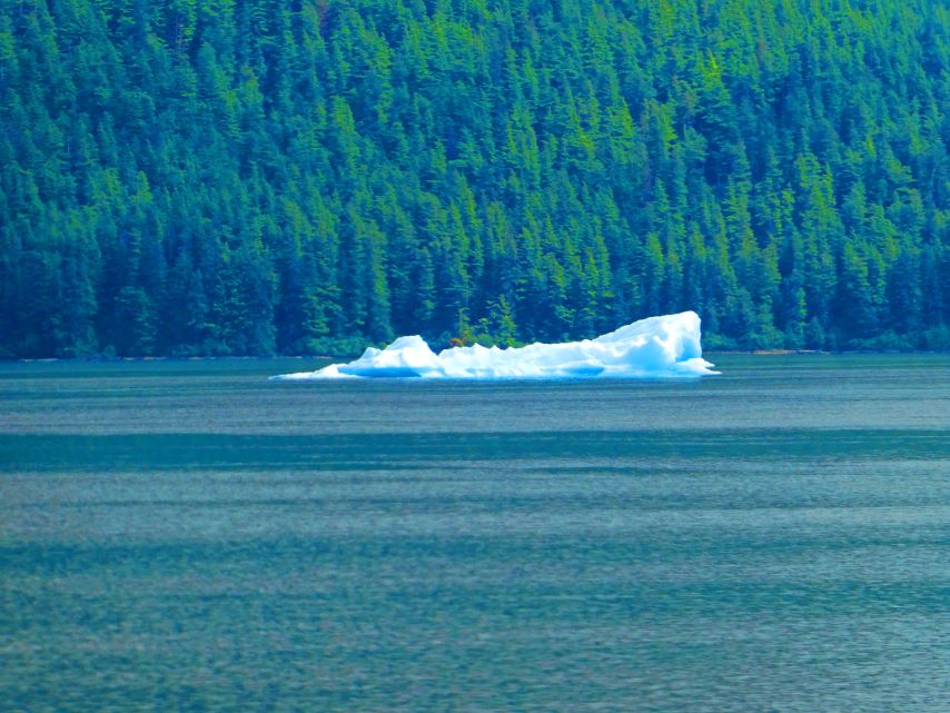
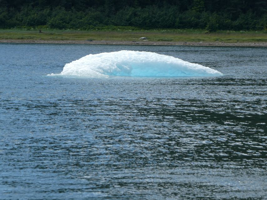
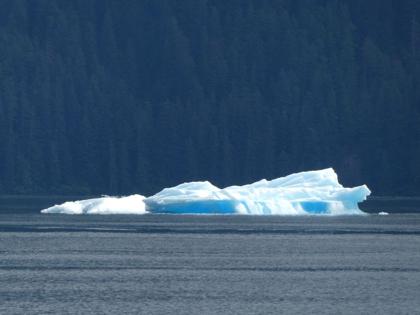
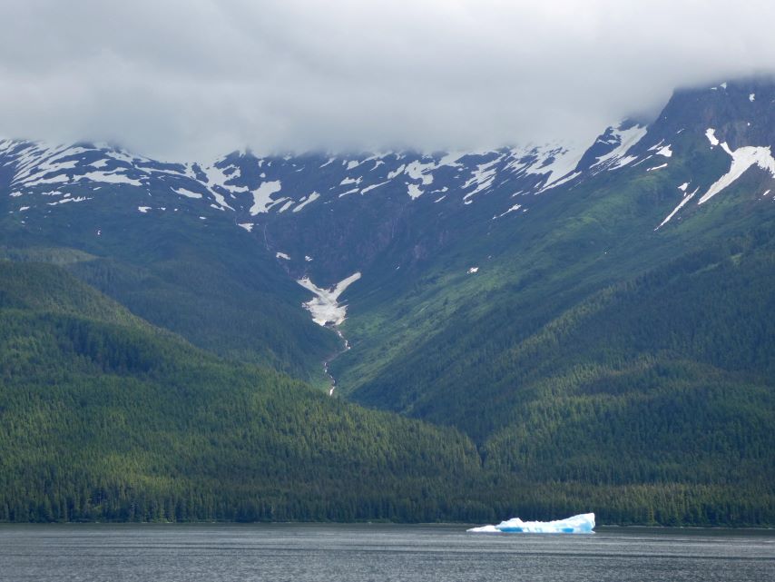
As we continued our journey northward, we encountered our first iceberg—a pristine white mass with a captivating hint of blue.
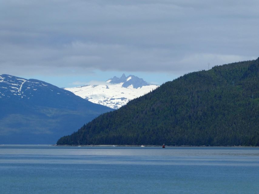
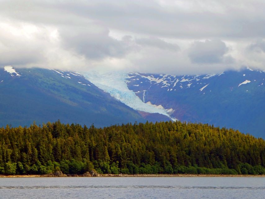
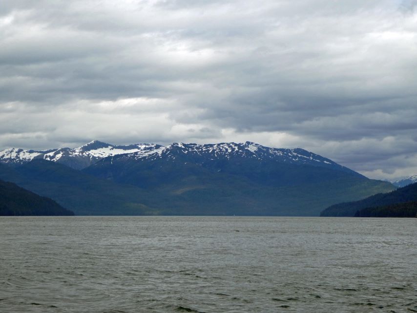
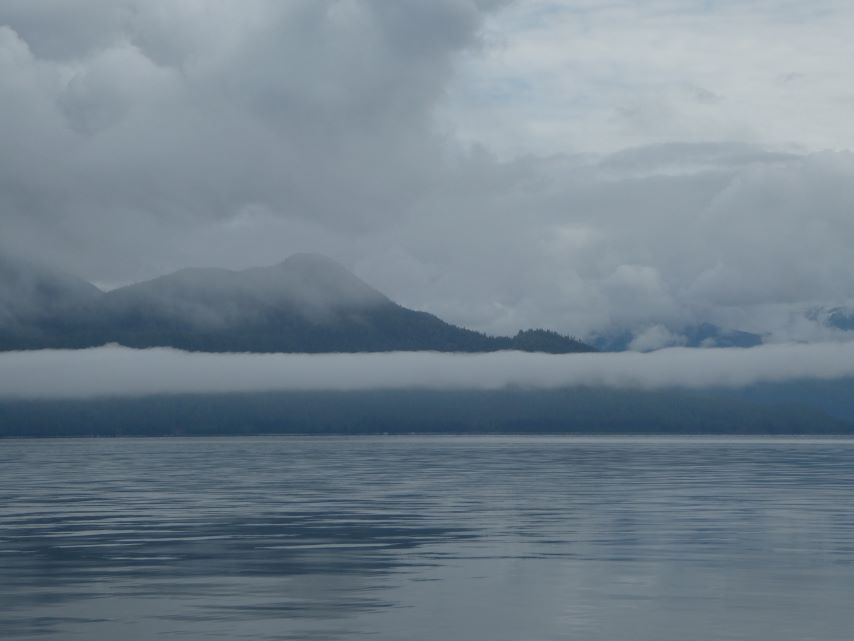
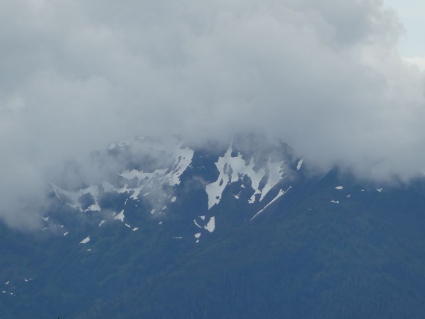
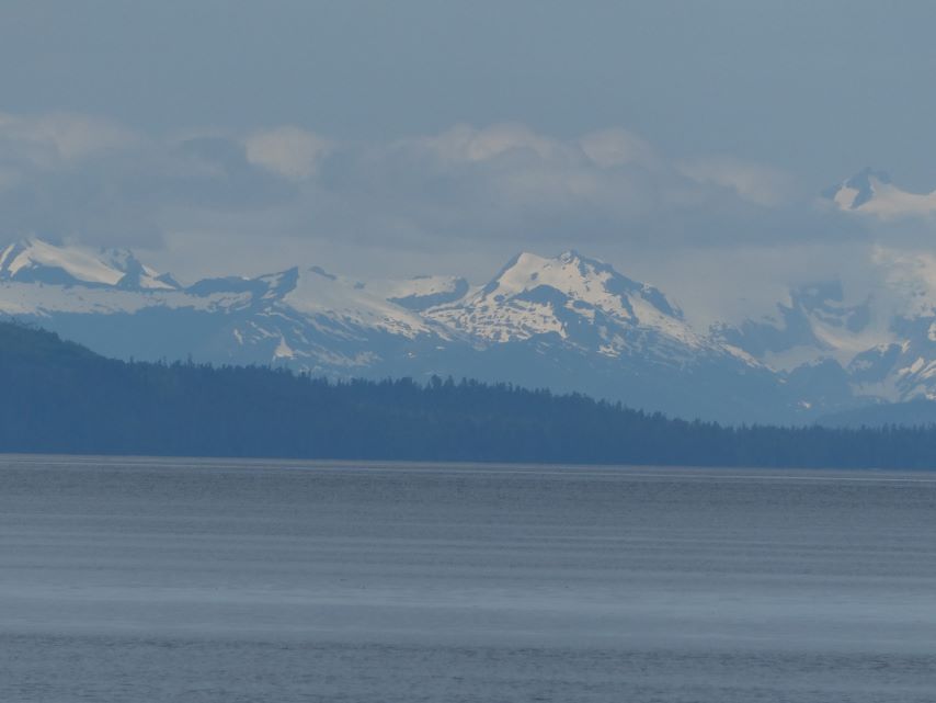
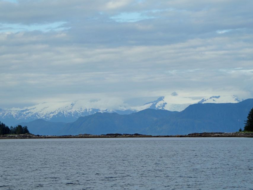
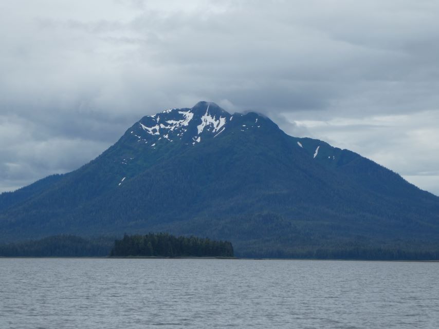
Holkham Bay serves as the gateway to both Tracy Arm and Endicott Arm. These arms are characterized by turbulent waters, swiftly moving icebergs, and, at their terminus, stunning tidewater glaciers—namely, North Sawyer Glacier and Dawes Glaciers. Intrigued, we decided to explore the icebergs and the anchorage area frequented by cruise ships. Unfortunately, the anchorage was unavailable, prompting us to press onward.
Sumdum GlacierHolkham BaySt.Peter Sitka, AK – Tour to the GlaciersOnly waterfall of the day.
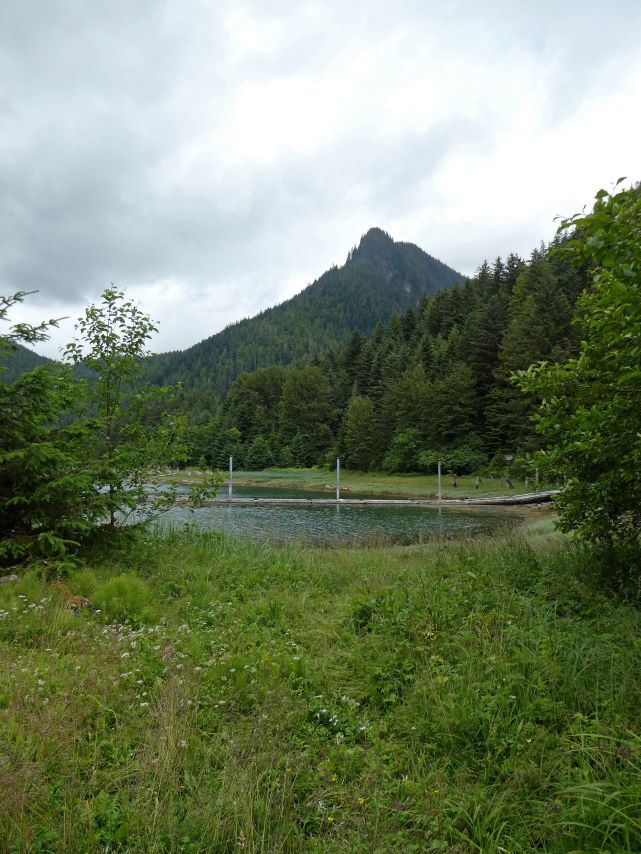
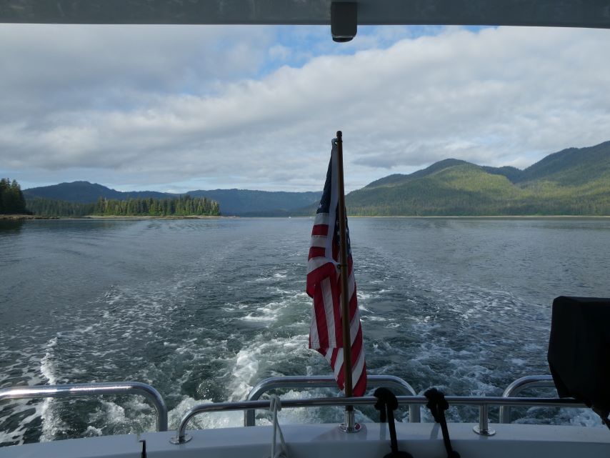
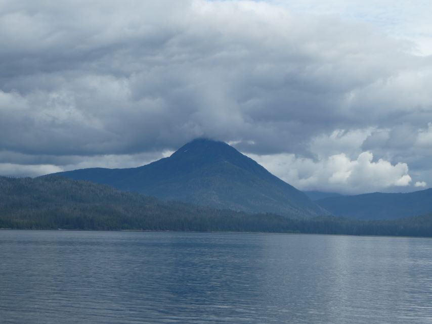
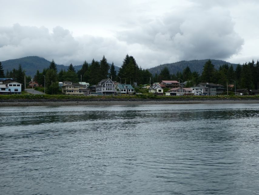
We arrived at Taku Bay at 4:59 and moored at the public dock, happy to be in a safe, beautiful bay.
ROUTE: Portage Bay, Frederick Sound, Stephens Passage, Cleveland Passage, Port Houghton, Hobart Bay, Stephens Passage, Gambier Bay, Snug Cove
ANCHOREDGPS LOCATION: 57o25.312′ N – 133o58.146’ W
ANCHORED IN: 35.5 feet
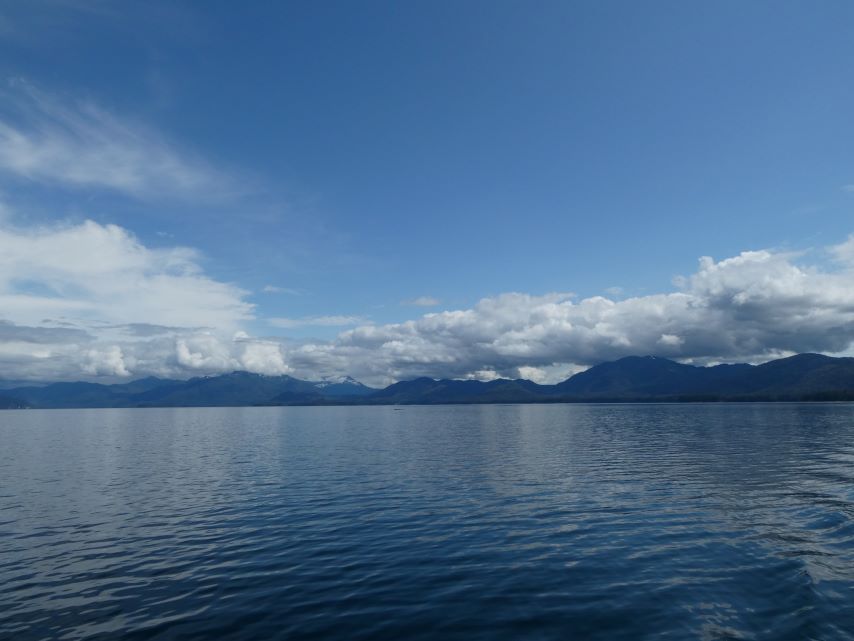
The day unfolded like a canvas painted by a master artist with the sun providing the perfect lighting for a little reflection photography. The calm seas and majestic mountains made it feel as though we were in an enchanted fairyland. But of course, I wanted more…where were all the whales that I heard so much about?
Little did we know that nature had something extraordinary in store for us. As we sailed across the 20-mile stretch from Port Houghton to Gambier Bay, the humpback whales emerged, their massive bodies breaching the surface with grace. One after another, they danced—their tails slapping the water, their spouts creating ethereal mist. We counted at least forty of these gentle giants, their presence both humbling and awe-inspiring.
Yet, amidst this spectacle, I grappled with my camera. The sun, relentless in its brilliance, challenged my focus. Each click felt like a battle—a struggle to capture the whales’ essence, frozen in time. But the lens betrayed me; the pictures remained elusive, slipping through my grasp like water.
I abandoned the struggle and embraced the present., I lowered the camera, allowing my eyes to feast upon the grandeur. Binoculars in hand, I followed their movements—their rhythmic dives, their playful breaches. The world narrowed to that intimate view, where the whales became constellations against the vast expanse.
“Beauty lies not in the captured image, but in the unfiltered gaze of wonder.” —Unknown
But, since we do have some land pictures I hope you enjoy them.
Morning Reflection Portage BayMorning Reflection Portage BayPrepring to LeaveEntering Frederick SoundCalm PassageHumpback Whale in the DistanceHumpback Whale in the DistanceGlacier Entrance to Sung CoveSnug CoveEagle at Snug Cove
ROUTE: Wrangell Narrows, Fredrick Sound, Portage Bay
ANCHOREDGPS LOCATION: 56o59.220′ N – 133o18.889’W
ANCHORED IN: 47 feet
American Constellation
Cruise Ship American Constellation
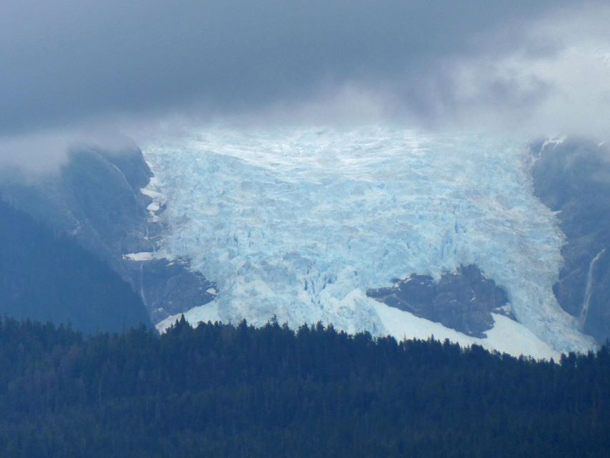
PetersburgLeaving PetersburgPatterson Glacier
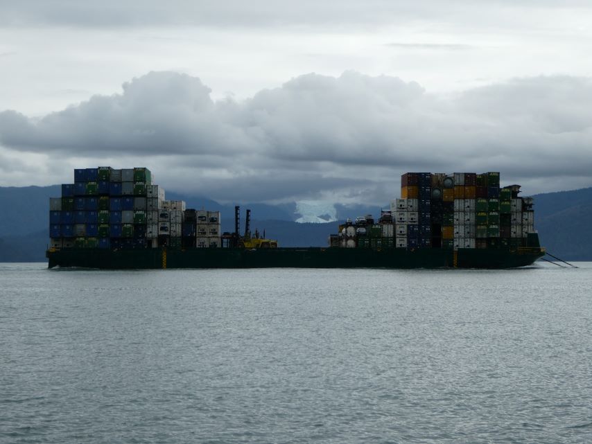
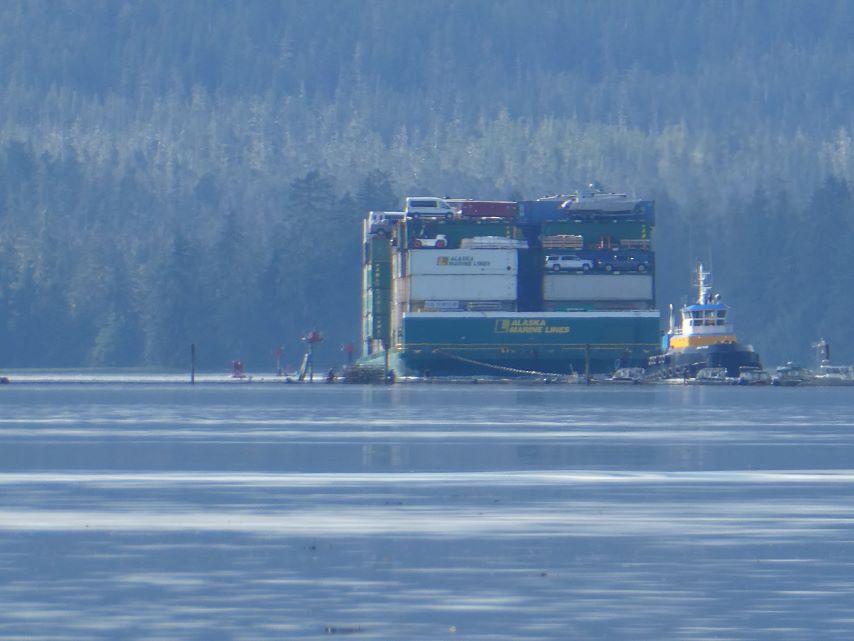
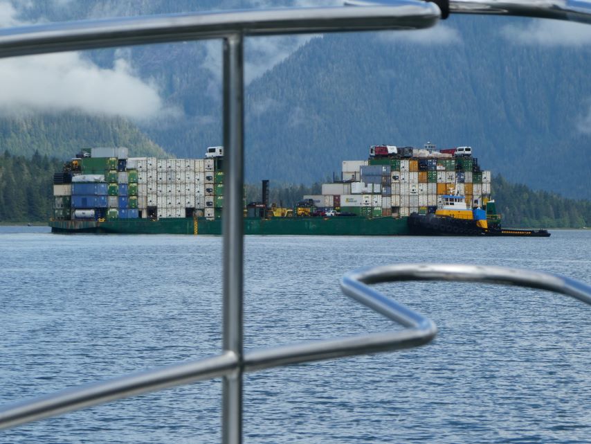
While capturing an image of the barge, I suddenly noticed that the majestic Patterson Glacier served as a stunning backdrop.
Patterson GlacierRuins of an Old Logging CampAs we arrived, the top of this mountain was covered in clouds.By the time we went to bed we could see the mountain.Morning View of the MountainPortage Bay
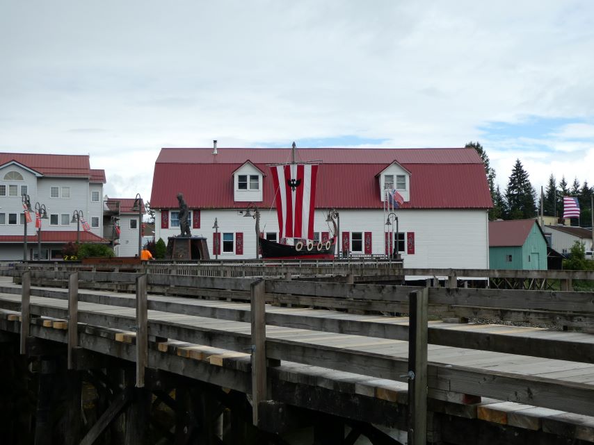
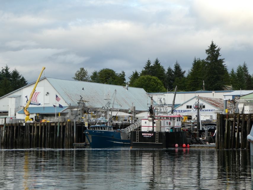
Petersburg is known for its mix of Norwegian and Tlingit heritage and for harboring one of Alaska’s most prosperous fishing fleets.
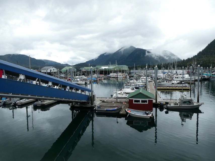
North Harbor Marina
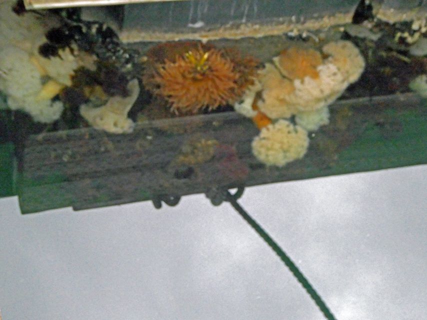
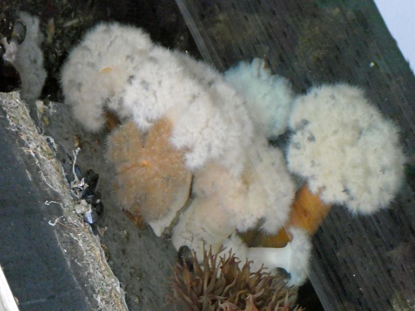
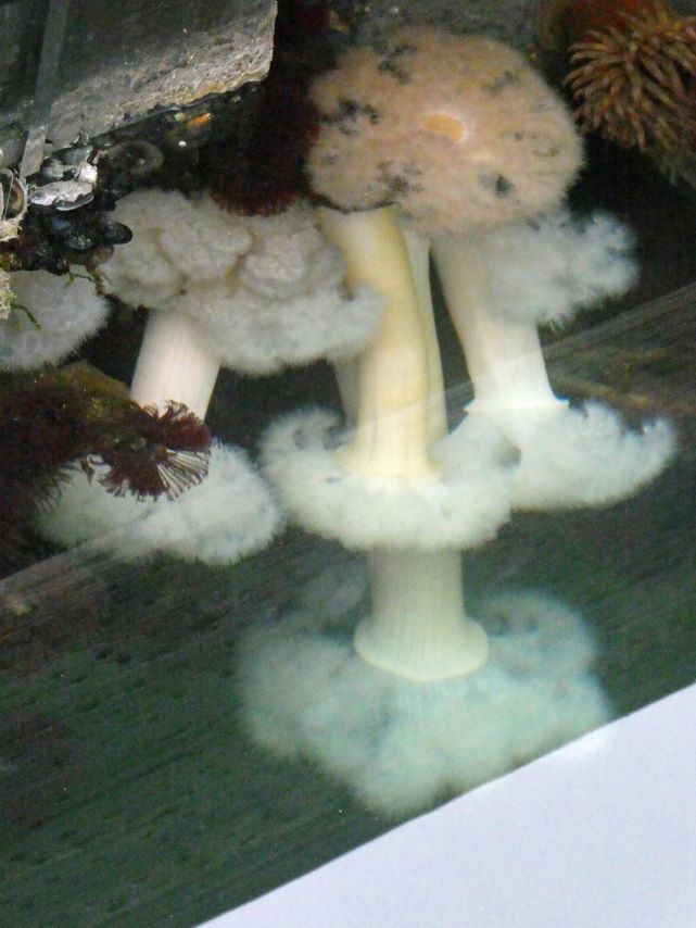
Sea Anemones: Attached to the underside of our dock.
Wrangell Narrows
We enjoyed a delightful afternoon strolling through town and exploring the scenic Mountain View Manor Boardwalk Trail. Enjoy the pictures.
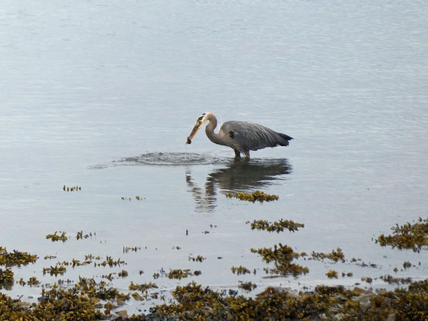
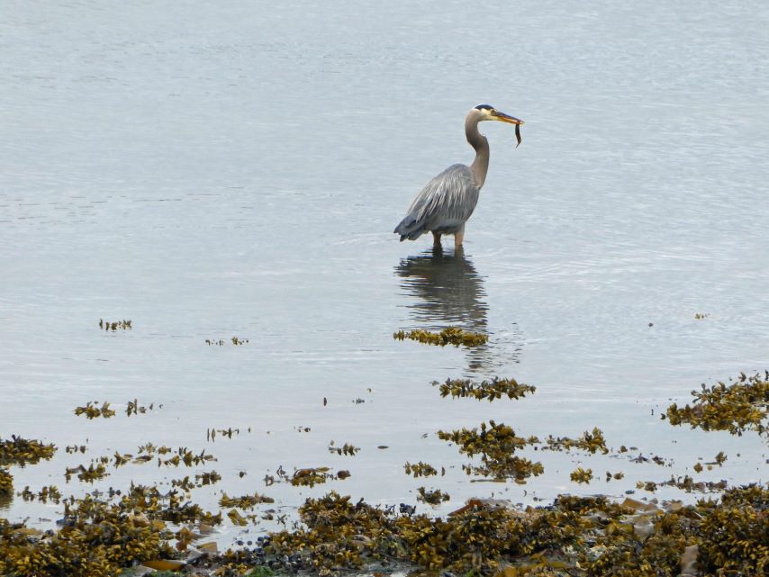
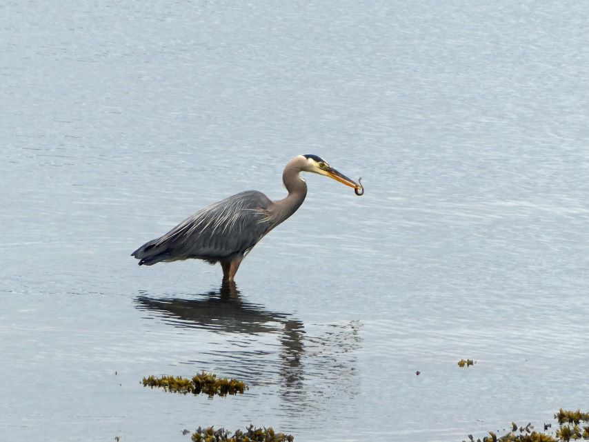
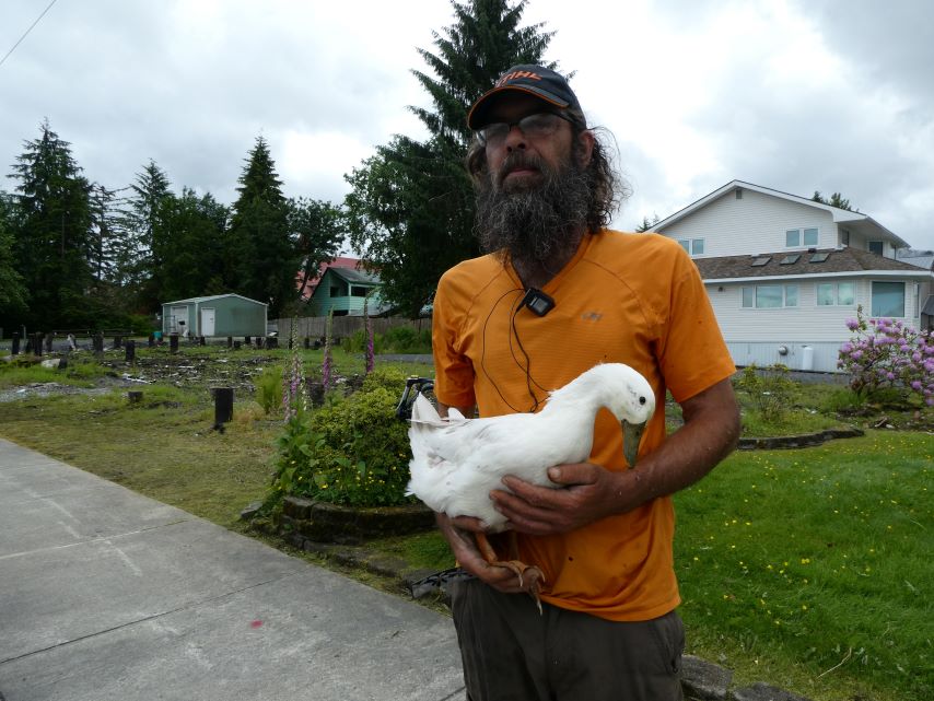
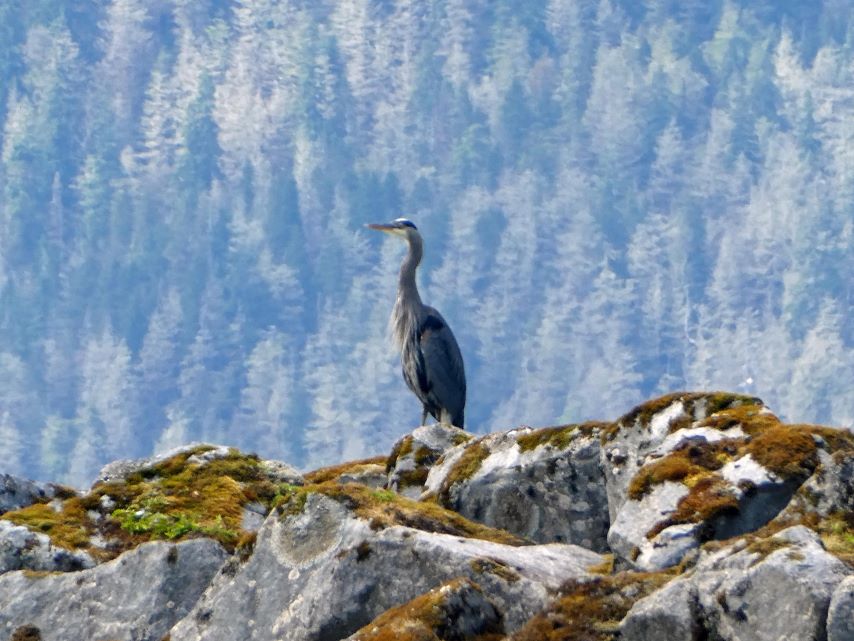
Blue Heron Catching a fish.His lighthouse reminds me of the Leaning Tower of PizzaStarFlowerMatt Gerrits
StarFlower’s journey began tragically. A bear attack left her without sight. Thanks to her owner Matt, she has become a local celebrity in Petersburg. You can hear her story on the local library podcast EPISODE 66.
ROUTE: Wrangell Narrows to North Harbor Marina, Petersburg
MOORAGE: North Harbor Marina – Slip 114
In order to catch the flood tide on our way north we needed to leave our cozy little cove by 7:15 this morning. If we would have left from Wrangell we would have needed to leave before daybreak.
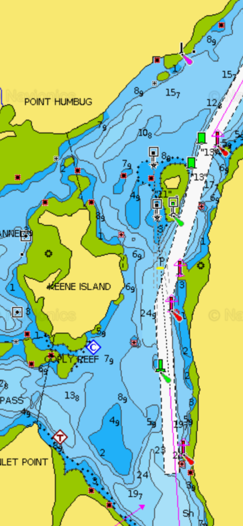
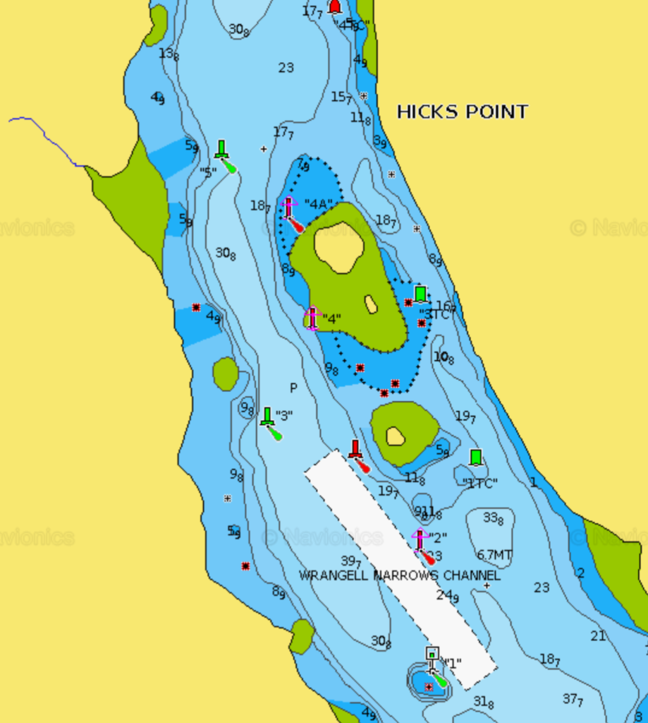
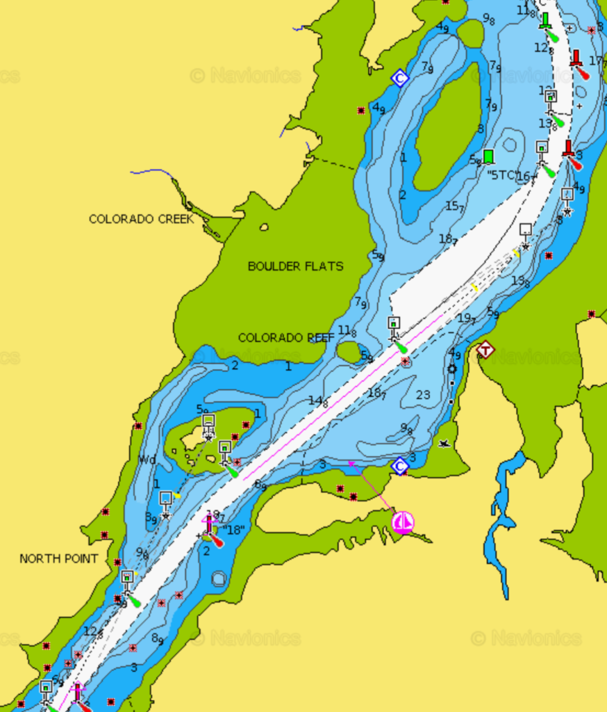
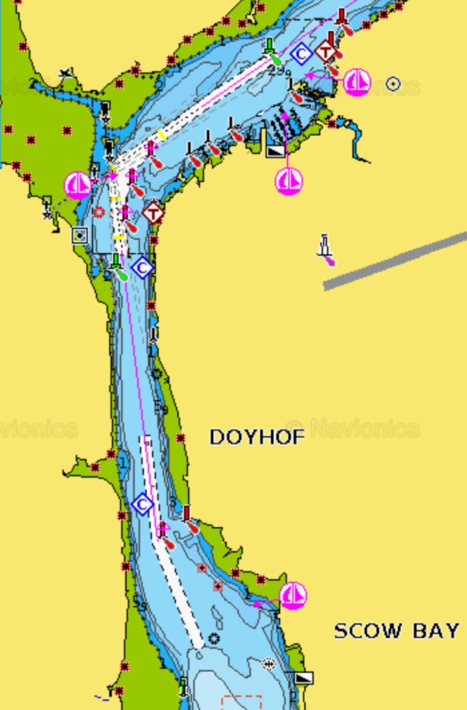
Following are just a few of the charts we will be using to navigate the Wrangell Narrows. The narrows are sometimes call Christmas Tree Lane. If you imagine over 60 red and green navigational lights shining for 21 nautical miles in the dark then you’ll understand why.
Daybreak at Deception Point CoveSmall Cruise Ship
A small cruise ship glides across the entrance to Deception Pass Cove. Undoubtedly, it will reach Petersburg before we do. While small cruise ships can dock there, larger ones typically avoid it due to the harbor’s shallow depth.
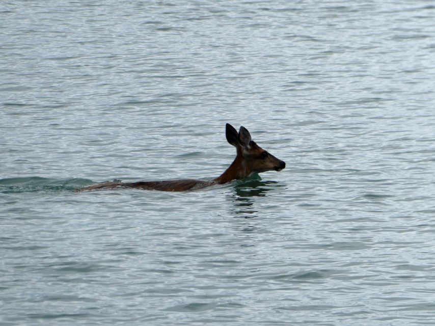
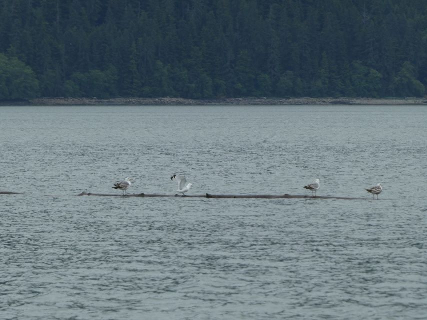
Deer crossing in front of us in Deception Pass CoveSeagulls Riding a Log
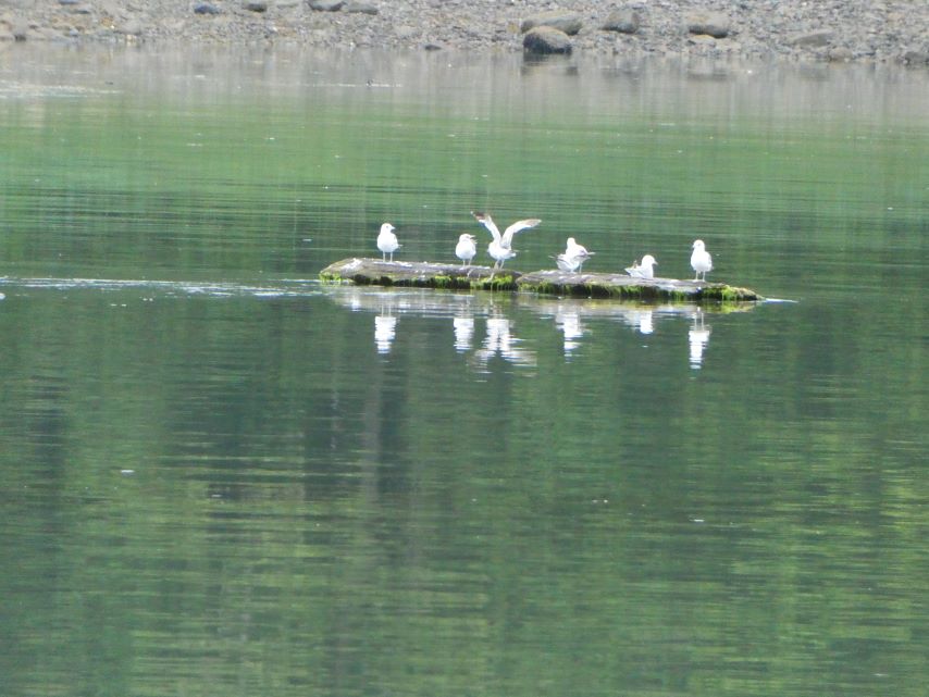
Seagulls often enjoy hitching rides on floating logs. However, this particular log must be a letdown—it’s anchored to the cove’s bottom and serves as a mooring point for tugs and their barges. They will not be going far.
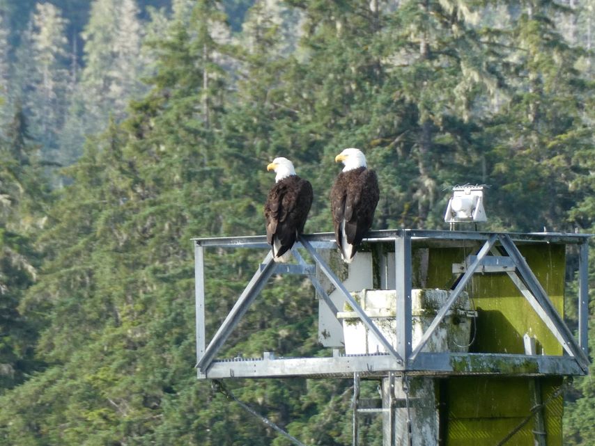
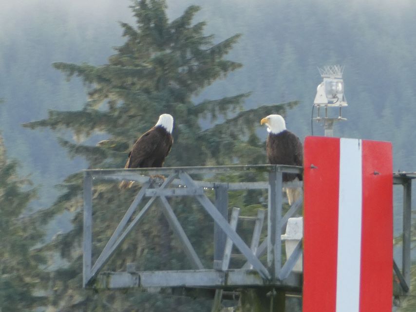
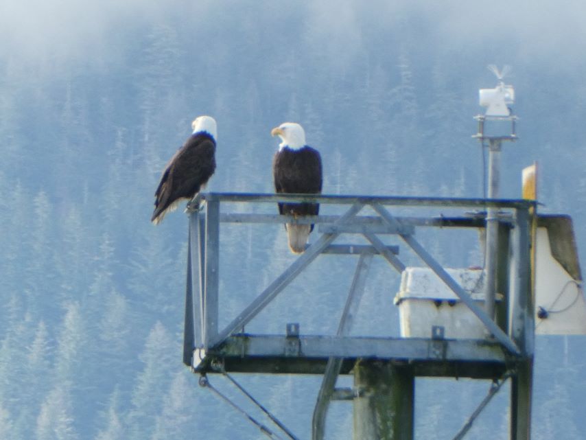
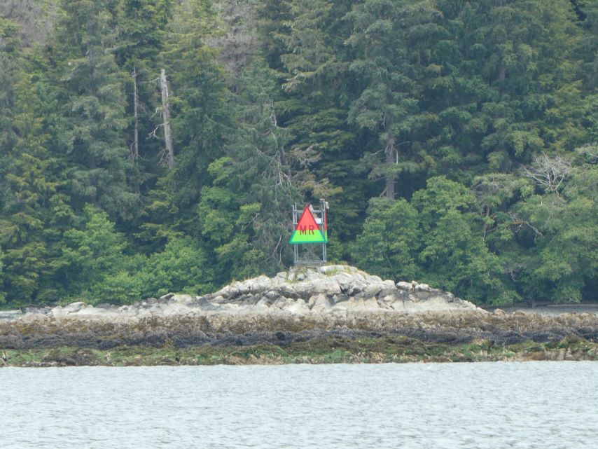
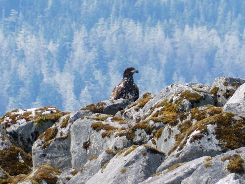
Eagles love the navigational markers.
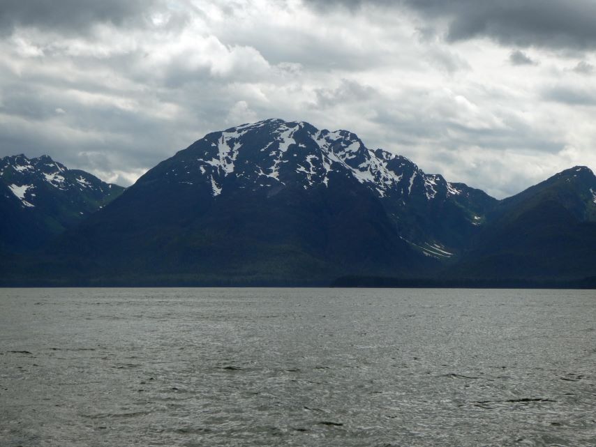
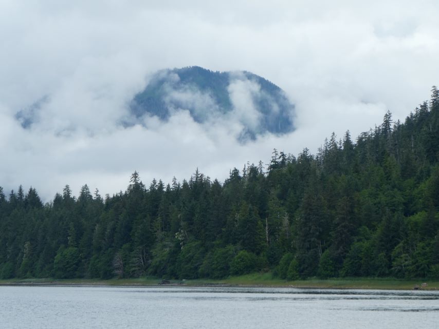
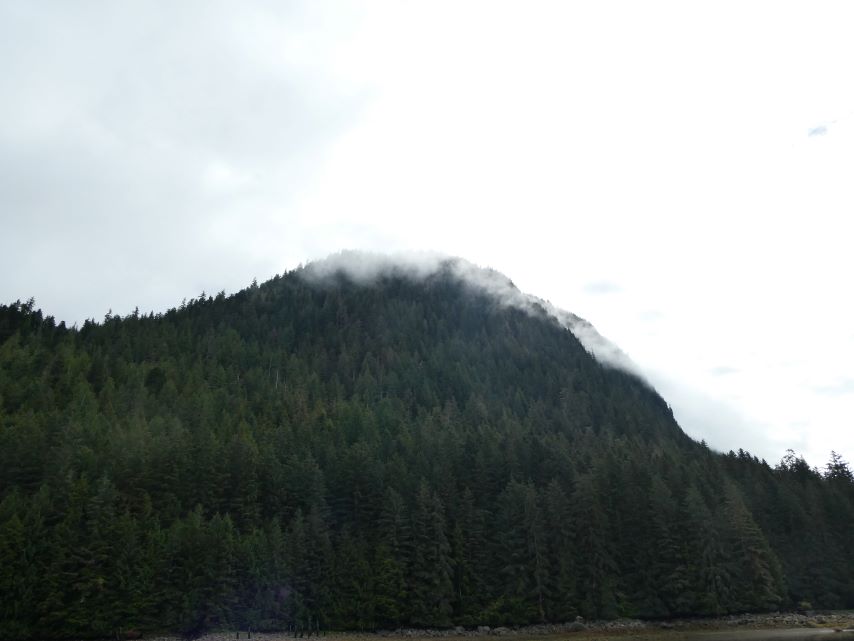
The clouds are low today leaving us little opportunity to see how tall the mountains are.
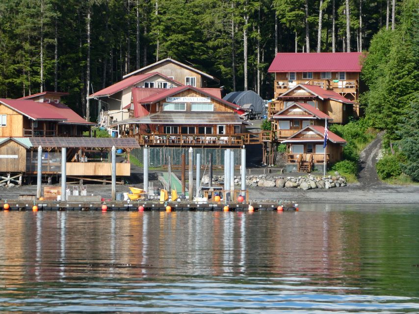
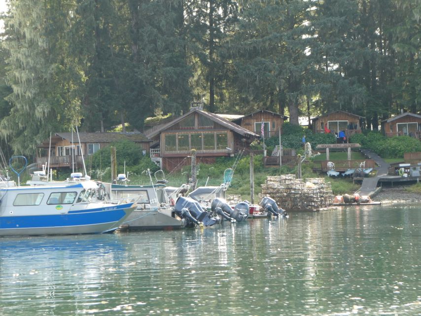
Majestic Eagle LodgeIsland Point LodgeRocky Point Lodge
We were surprised by the extent of development along the Wrangell Narrows. While most of it consists of private homes, at one bend in the narrows, we spotted two fishing lodges on the west side and another on the east side. Clearly, this area is a fishing mecca.
The clouds are lifting.
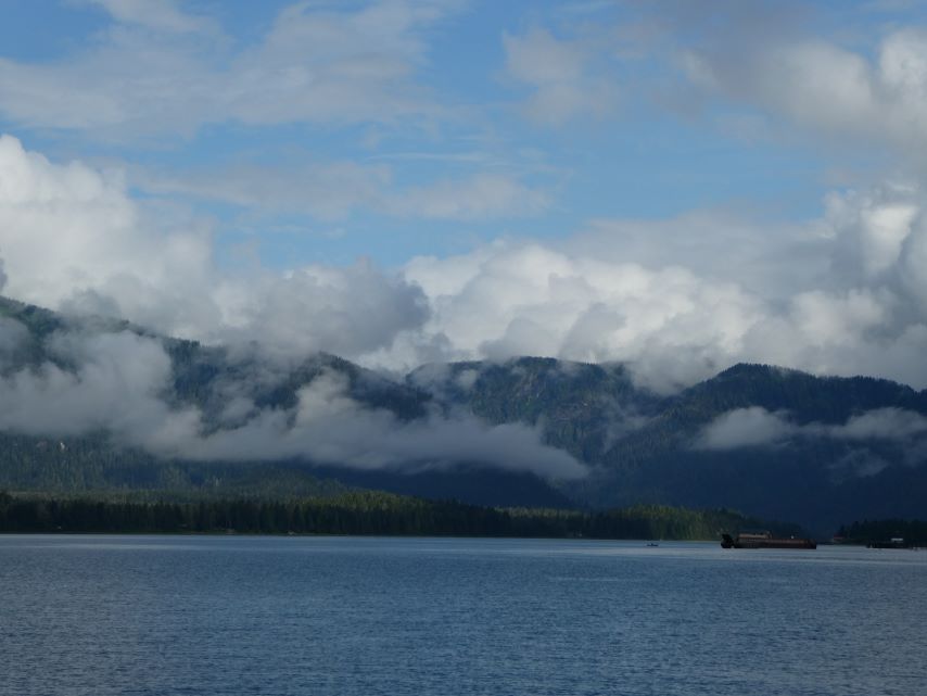
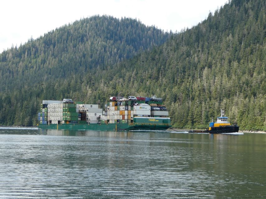
We had experienced a tranquil day on the narrows, with only small fishing boats in motion. As we continued toward Petersburg, we noticed a barge and tow about two miles behind us.. When it approached within a quarter of a mile, we slowed down further. We wanted it to pass before we entered a much narrower body of water. This turned out not to be necessary. As the barge passed, it turned sharply in front of us to enter a loading/unloading dock that we did not realize was there. We continued at our lower speed, observing the activity at the loading docks. We found it to be absolutely fascinating.
Barge and Tow
Wrangell Narrows was subdued today. Small fishing vessels and the barge and tugboat were the only vessels that passed us today.
Crab FishingRange Markers
Range markers consist of pairs of navigation marks, often with non-blinking lights. When you’re in the middle of a channel, these two markers (or lights) align vertically. They guide vessels on a recommended safe course. These are especially important for larger vessels.
By 2:00 pm we were safely tied to slip 114 in the North Harbor Marina.
ROUTE: Sumner Strait, Wrangell Narrows to Deception Point Cove
ANCHOREDGPS LOCATION: 56o32.471′ N – 132o59.251’W
ANCHORED IN: 10.5 feet (24 feet at high tide)
Tomorrow we plan to take Wrangell Narrows to Petersburg. Most all traffic in Southeast Alaska passes through this area which makes it a very busy and at times a very congested passage. According to our Douglas Guide “The Narrows can best be described as a ‘piloting’ challenge – one in which looking out the window and navigating with landmarks and navigational aids (and your depth sounder) is paramount.” With over 60 numbered navigation aids and a need to understand the currents in the narrows, the ebb and flood currents meet about halfway through, we decided that in order to be at our best we should anchor closer to the start of the 21 nautical miles from Point Lockwood Rock to Petersburg. Deception Point Cove puts us just a few miles south of Point Lockwood.
Leaving Wrangell
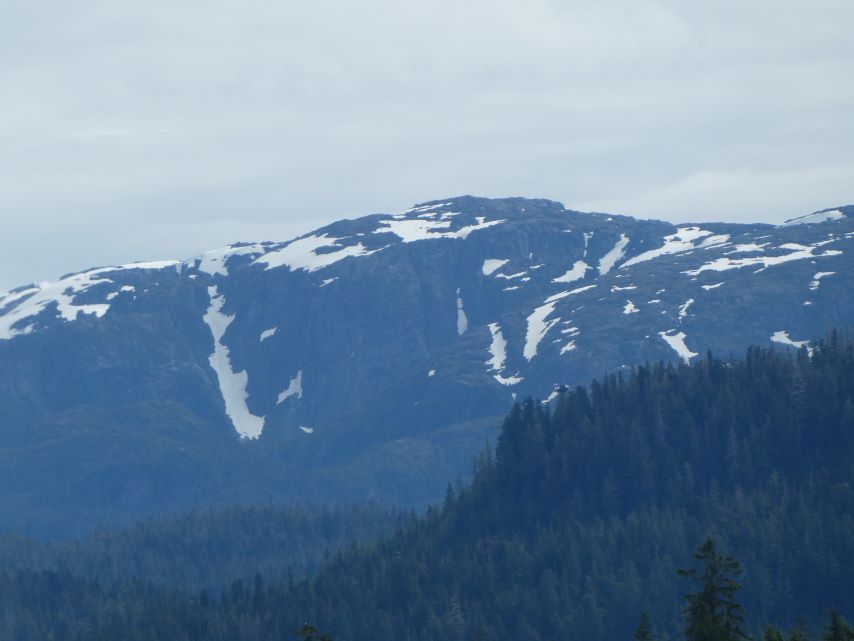
Views of the mountains from Wrangell to Deception Point. It is amazing how often the clouds and lighting changes during a short trip.
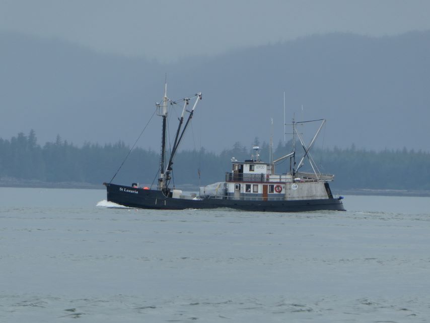
We only saw two boats on the way to Deception Point Cove. The fishing boat St. Lazaria and the unofficial log boat carrying four seagulls.
Fishing Vessal St. LazariaHitching a RideNavigational Marker at Deception Point CoveDeception Point Cove EagleLooking at the entry of the cove from inside the cove.
Our first night in Wrangell we saw more than thirty small boats with adults, children and dogs leaving the harbor. We thought that they were going for a family outing because the weather was so nice. The harbormaster’s assistant set us straight, they were going out to practice for the big boat race on July 4th.
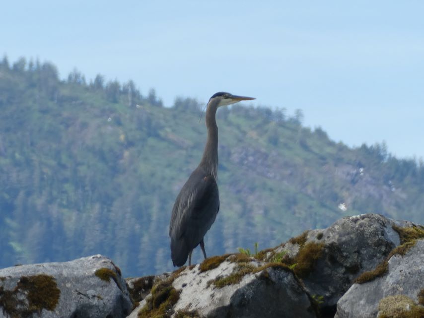
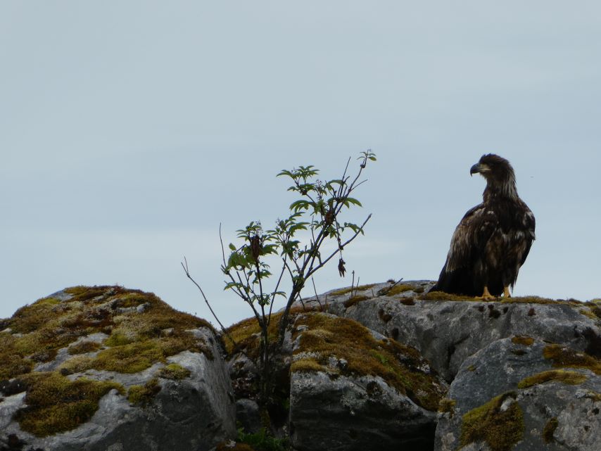
June 28, Saturday -We love watching the birds. This morning we had two blue heron and a juvenile eagle on the breakwater to entertain us.
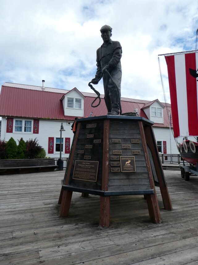
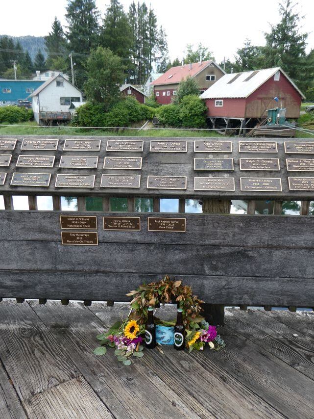
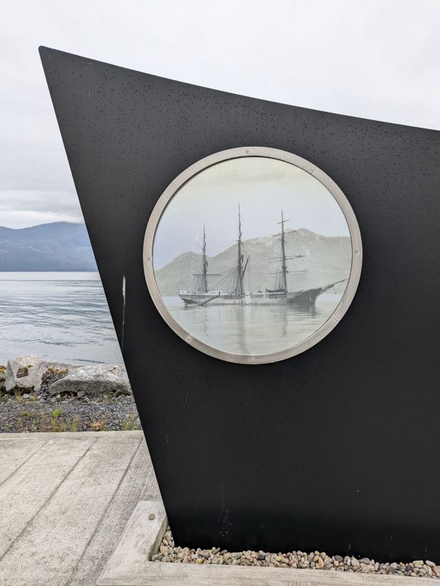
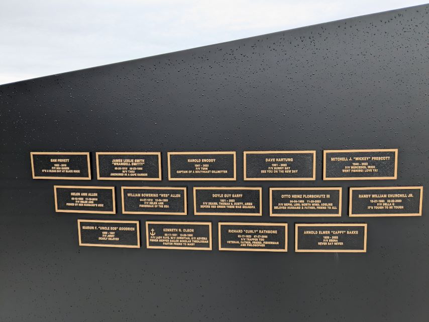
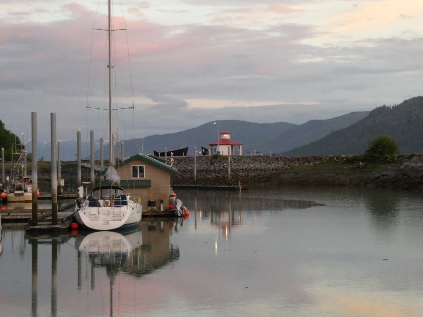
Entering Wrangell Mariner’s MemorialTribute to STAR OF BENGALNames and Stories Wrangell Mariner’s Memorial view from the HarborDock Ramp: Must be low tide.Sunset at Heritage HarborLooking North, the sunset turned the sky a beautiful pink color.Finally, got a Bear Picture! If we are lucky we will soon see the real thing.
Friday evening, families started leaving in their boats to go to their cabins on the Stikine River. We must have seen at least 20 of these skiffs leave the marina.
Triva: The Stikine River is known as the “fastest-flowing navigable river in North America.
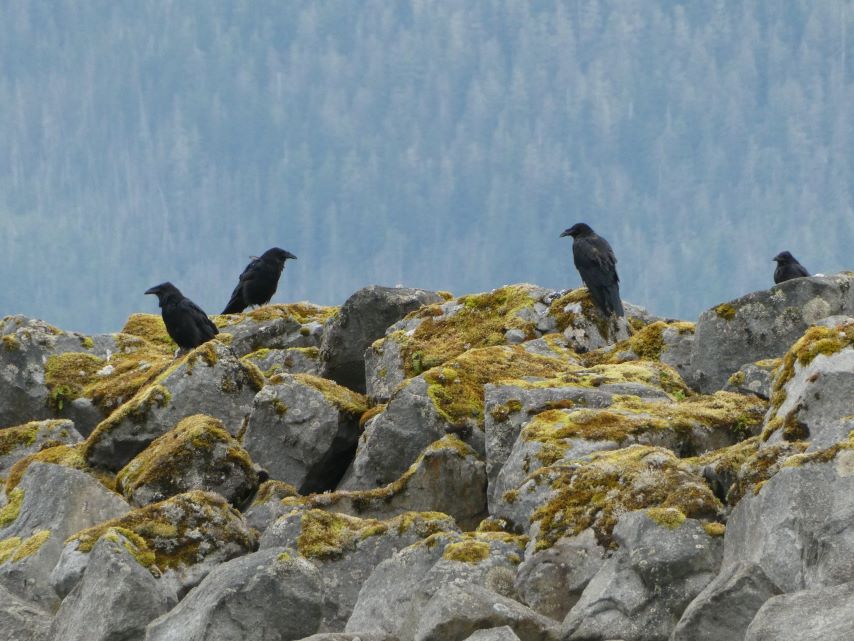
June 29, Saturday – This morning it was the ravens and eagles that entertained us.
ROUTE: Santa Anna Inlet, Seward Passage, across Ernest Sound, Zimovia Strait, Chichagof Passage to Wrangell
MOORAGE: Heritage Harbor, Wrangell -Transient Dock 1
The hemlock and cedar trees that line the shores of the Inside Passage create a lush canopy, shaping the peaks and valleys of the magnificent, sometimes snow-covered Alaskan mountains. As we enjoyed this breathtaking tapestry we made our way through Zimovia Strait to Wrangell. This intricate passage kept us engaged in dodging crab traps and logs as we followed navigational markers that guided us safely though Zimovia’s narrow winding passage to Heritage Harbor, Wrangell.
About 2 miles from Wrangell the water in the passage begins to turn green. Where the Stikine River enters the various straits of the Inside Passage the fresh water rides atop the salt water and the result is a beautiful green.