April 29 – 30, 2017
Month: April 2017
Merritt Island to New Smyrna Beach
April 30, 2017 – Sunday
We were up at sunrise to view the SpaceX Falcon 9 rocket launch but at T-minus 52 seconds, the planned blastoff was halted because of an issue with the TOTO sensor on the first stage, they will try again tomorrow.
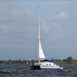
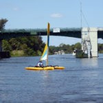
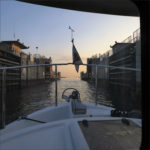
Leaving the marina we traversed back down the Canaveral Barge Canal to the ICW and continued north.
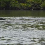
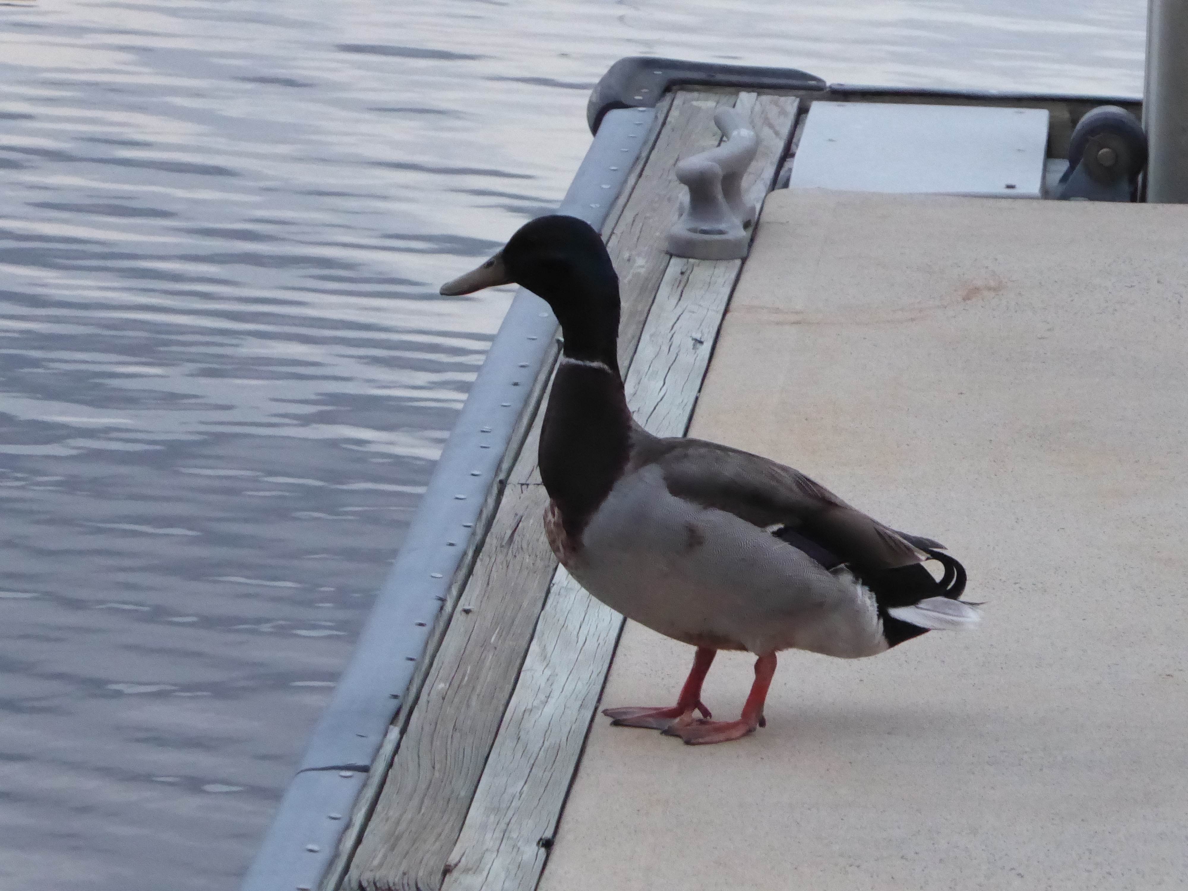
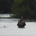
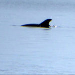
A mile portion of the ICW is called Haulover Canal, which I assumed must be someone’s name. However, I spotted a historical marker that explained that Native Americans, explorers, and settlers hauled or carried canoes or small boats over this narrow strip of land to get from Mosquito Lagoon to the Indian River. Finally, in 1852, a canal was built to go from one body of water to the other. Today the canal is part of the ICW and a favorite fishing hole. Not to mention, it was the first time I’ve been able to get a picture of a manatee.

Vero Beach to Merritt Island
April 29, 2017 – Saturday
Today we traveled to Habortown Marina, Merritt Island in hopes of seeing the SpaceX Falcon 9 rocket launch that is scheduled for 7:15 am tomorrow. Wish us luck!
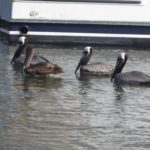
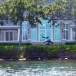
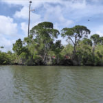
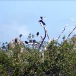
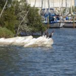
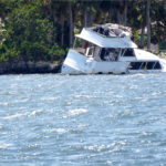
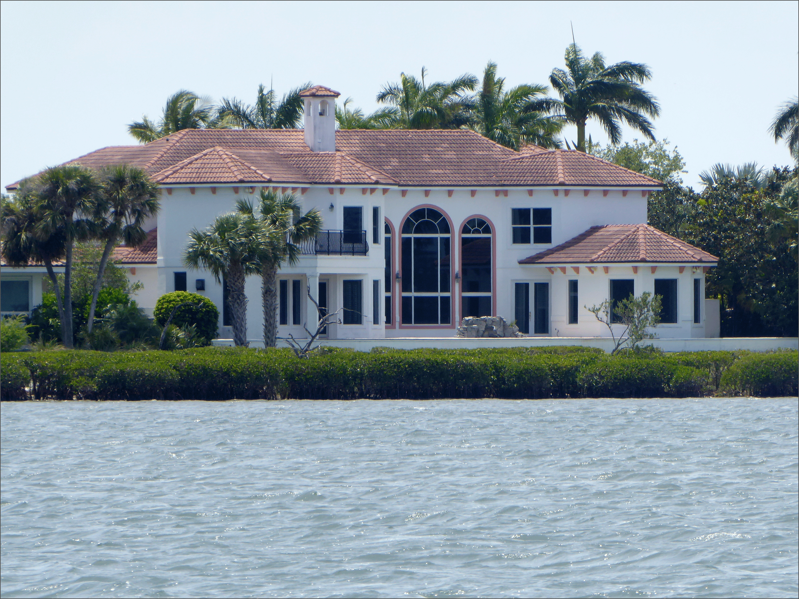
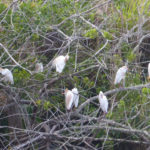
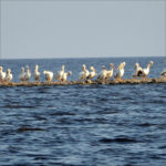
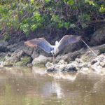
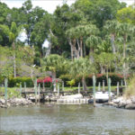
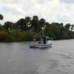
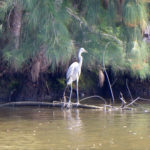
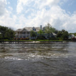
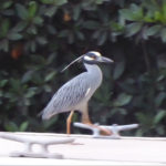
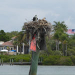
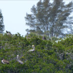
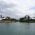
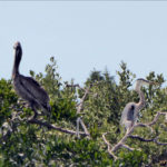
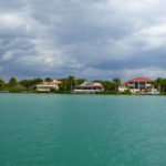
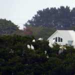
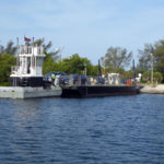
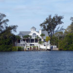
Today we saw lots of mansions with private docks, sea birds, and people out having a good time, after all, it is Saturday. But what I remember most is the number of derelict, abandoned, and at-risk boats that we have seen in just the past two days. It seems that sometimes they were abandoned after a wreck, lived on and then abandoned, or a fatality of hurricane Matthew. In addition to being an eyesore, some are navigationally dangerous to other boaters. Like many social issues, this problem will take a time to solve.
Stuart to Vero Beach
April 28, 2017 – Friday
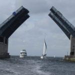
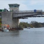
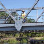
As we pulled out of Sunset Marina in Stuart, FL we requested an opening for the FL East Coast RR Bridge, with the opening of the bridge we proceeded down the St. Lucie River passing the FL East Coast RR Bridge, the old Roosevelt (Dixie Highway) Bascule Bridge, the New Roosevelt Bridge and Evans Cary Bridge at Manatee Pocket.
Manatee Pocket is the home of Chapman School of Seamanship, a non-profit school of seamanship training. Chapman Piloting and Seamanship is one of the first books we purchased when we started sailing. Shortly thereafter, we passed navigation marker 240, the end of the Okeechobee Waterway and, at ICWW mile-marker 988, entered the Intracostal Waterway.
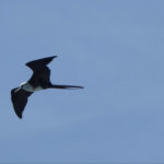
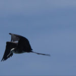
We love the frigatebirds, to learn more about them checkout NPR: Nonstop Flight: How The Frigatebird Can Soar For Weeks Without Stopping
Okeechobee Waterway
April 26-27, 2017
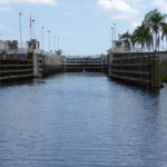
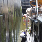
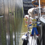
Monday, we said goodbye to Fort Myers and continued on the Okeechobee Waterway to Clewiston, which is at the rim of Lake Okeechobee. Our travels took us through three locks, W.P. Franklin Lock (rise – 2 feet), Ortona Lock (rise 8 feet), and Moore Haven Lock (usually 1 to 2 feet rise – today, six inches). For these locks, you enter the lock chamber, pick-up lines that are hanging down the chamber wall, and hold your boat to the side of the chamber with their lines.
We stayed at Roland & Mary Ann Martin Marina behind the Clewiston Lock and Hurricane Gate, which is at the mouth of Lake Okeechobee. Crossing the lake we had light chop and a maximum depth of 7 feet. Coming out of the Lake, Port Mayaca Lock was open and we did not have to lock through, however, we did have to wait for a train at Port Mayaca Railroad Lift Bridge. At St. Lucie Lock we shared the lock with M/V Paint by Number, this time we were being lowered (12 feet) and instead of the lines being on the wall, the lock master threw us the lines.
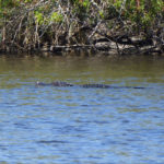
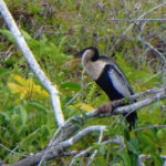
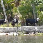
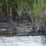
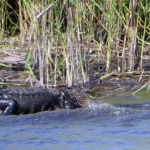
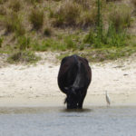
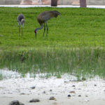
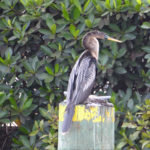
Along the way, we saw numerous upscale houses, farm and cattle land, alligator alley and a wide variety of birds. From Moore Haven Lock and Dam to Clewiston we saw between forty to fifty alligators. Most in the water with only their head sticking out.
Note: The Okeechobee Waterway is a relatively shallow man-made waterway in the United States, stretching across Florida from Fort Myers, on the Caloosahatchee River, to Stuart, on the St. Lucie River. The two rivers are connected by Lake Okeechobee, the second largest freshwater lake in the continental United States. Geologically, the north bank of the waterway is the official southern limit of the Eastern Continental Divide.
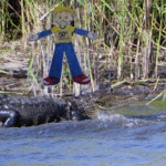
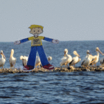
Flat Stanley on the Okeechobee Waterway
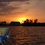
Brodie’s Flat Stanley is having a great time on the Okeechobee Waterway.
He is looking forward to sailing on the Intracostal Waterway tomorrow.
Fort Meyers – City of Palms
April 12-25, 2017
Fort Myers was one of the first forts built along the Caloosahatchee River and was used as a base of operations against the Seminole Indians during the American Indian Wars. The fort was abandoned in 1858 and reoccupied by Federal troops from 1863-1865. The Southernmost battle of the Civil War, a skirmish between Northern and Southern troops occurred across the river in 1865 and is reenacted annually at the North Fort Myers Cracker Festival. During the American Civil War, Confederate blockade runners and cattle ranchers called Fort Myers home. These settlers prospered through trading with Seminole Indians and Union Soldiers.
Like so many towns in the US, the Fort Myers downtown area became vacant and neglected. However, in 2003 a redevelopment plan was launched and Fort Myers has been reinvigorated. In an effort to preserve the area’s treasures of the past, the City has designated Downtown, Edison Park, Dean Park and Seminole Park as historic districts, with 20 historic landmarks that are part of the preservation program.
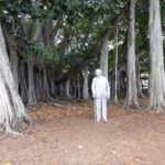
Today, Fort Myers has much to offer and we seem to be centrally located. Centennial Park and the Historical District is just east of us and the Edison and Ford Winter Estates are to the west, all are on the waterfront and within walking distance of Andiamo. We visited Centennial Park to view several Civil War memorials and the Uncommon Friends Monument that represents three of the fathers of the American Industrial 20th century: Thomas Alva Edison, Henry Ford, and Harvey Firestone, all of whom had winter homes in Fort Myers.
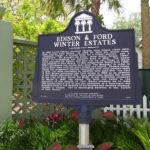
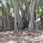
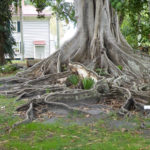
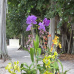
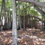
In 1927, Edison, Ford, and Firestone formed the Edison Botanic Research Corporation (EBRC) and built the EBRC Botanical Laboratory on the Edison estate. In search of a domestic source for rubber, hundreds of varieties of plants were planted and tested in the botanical lab. Many of the plants still remain and make for a wonderful stroll through the gardens of the Edison and Ford Winter Estates. In particular, there is a banyan tree, believed to be planted in the late 1920’s, which is now one of the largest in the continental United States with a canopy of almost an acre. Its circumference is 376 inches and height is 84 feet.
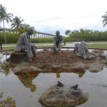
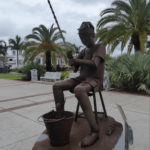
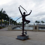
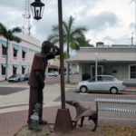
Currently, a popular attraction in Historic Downtown is a monumental 23-piece iron sculpture exhibit by internationally-renowned artist Edgardo Carmona. The exhibit will remain in the area through May of 2017.
A diver cleaned the bottom of Andiamo on Thursday, Friday, Julie drove us around Ft. Myers as we shopped for “boat stuff” that we needed to do the 500 -hour service -maintenance on Andiamo. When we were not doing maintenance and cleaning Andiamo, we were visiting Centennial Park, the Historical Downtown District, the Ford/Edison Estate, and watching a sunset from the air conditioned lounge, on the third floor of the marina office. We are now looking forward to continuing our trip on the Okeechobee waterway.
Around Town
Pictures from the Edgardo Carmona Sculpture Exhibit
Edison and Ford Winter Estates
Fun Facts: Fort Myers is called the City of Palms because, in an effort to beautify the city, Edison planted over 1,300 Royal Plans, lining both sides of a mile long section of a city street.
During his career, Thomas Edison was awarded 1,093 United States patents and is the only person granted a patent every year for 65 consecutive years.
Manatee River to Fort Myers
April 18-19th, 2017
Our anchorage at McKay Point was pretty roly-poly but uneventful, and we slept well. Tuesday morning we weighed anchor, left the Manatee River, and returned to the Gulf Intracostal Waterway (GIWW). Continuing south we passed Long Boat Key – where the Pirate Jean Lafitte was said to have been shipwrecked, Sarasota – winter home of the Ringling Brothers, and Venice – shark tooth capital of the world. The scenery on this portion of the GIWW was comprised of amazing homes, lots of birds, dolphins, and people having fun in the sun. At the end of the day, we anchored at Manasota Key – home to beautiful white sandy beaches.
Wednesday we weighed anchor at sunrise and continued south past Gasparilla Island – where, in the late 1800’s, phosphate was loaded onto schooners for worldwide shipment, Cabbage Key – home of the cheeseburger that inspired Jimmy Buffet’s “Cheeseburger in Paradise!”, and Cayo Costa State Park – accessible only by boat. We continued south to Mile 0.0 on the GIWW, thus completing the GIWW portion of our trip. Turning east we headed towards the Caloosahatchee River, which is the beginning of our passage across Florida through the Okeechobee Waterway (OKWW).
Tonight, and for the next few days, we have a slip at Legacy Harbour Marina in Ft. Myers, we will do the 500-hour maintenance on the engine and try to solve a couple of new problems (i.e. house batteries that are draining too quickly, an electrical cord that won’t unscrew from the outlet, and a thruster that is not working). We will also take the time to enjoy the city.
See you on the water!
- Sunrise 7:01 am – Sunset 7:56 pm
- Temp 85 F Hi – 65 F Low – Mostly Sunny
- Day 177
Tampa Bay to Manatee River
April 17, 2017
The wedding was wonderful and we are so happy that we had the opportunity to be a part of such a joyous occasion. We are also delighted that we are back in Florida and on the water again. With us is Brodie’s Flat Stanley. We are looking forward to his company and hope that he enjoys the trip.
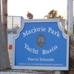
This morning I went for a lovely walk while Rick prepared Andiamo for departure and paid for our slip. We enjoyed our stay at the Marjorie Park Marina, the guys at the marina were considerate and we were surprised that the cost was more reasonable than expected.
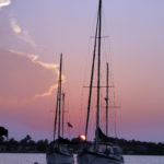
After crossing Tampa Bay, we entered the Manatee River and anchored at McKay Point. Back to the water and beautiful sunsets.
See you on the water!
- Sunrise 7:03 am – Sunset 7:57 pm
- Temp 83 F Hi – 66 F Low – Sunny
- Day 175
Tampa
March 30 – April 4, 2017
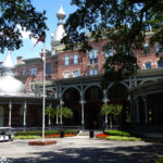
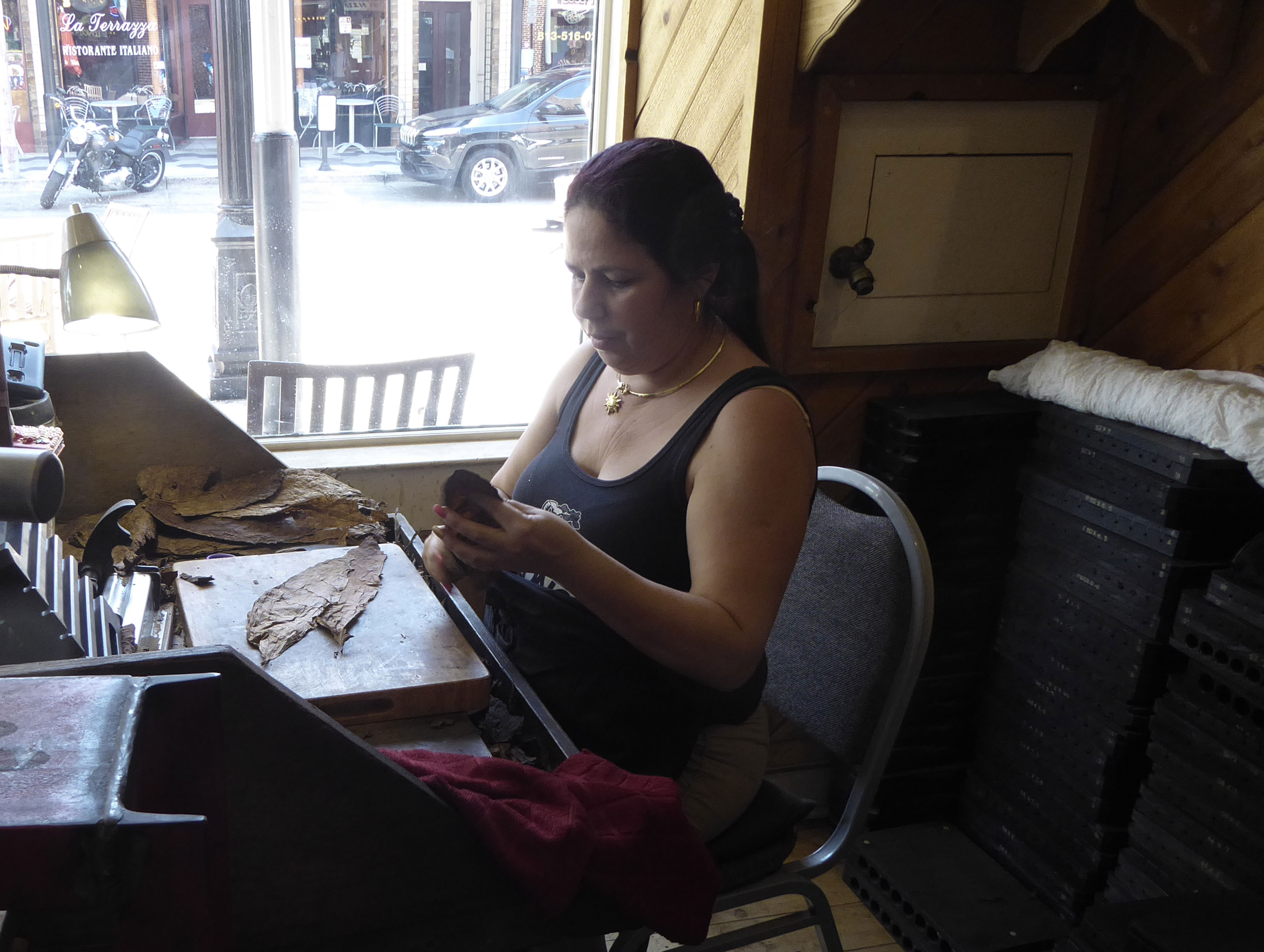
Julie, a colleague of ours from our time in South Korea, joined us for a day outing on Thursday. We visited Ybor City, founded in 1885 by a group of Cuban cigar manufacturers led by Vicente Martinez-Ybor, had lunch at Gaspar’s Grotto, and took a self-guided walking tour.
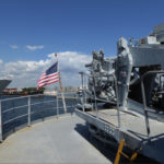
We also visited the American Victory Ship Maritime Museum, the ship is one of only four fully-operational WWII ships in the US. Great museum but a very hot tour, I recommend going on a cooler day. With the heat getting the best of us, we spent the evening in an air conditioned restaurant sharing stories and enjoying each other’s company.
The Gadarowski’s picked us up for an outing on Saturday, we spent the day visiting and hiding from the heat; lunch, the mall, and a tour of Davis Islands. The Davis Islands complex was developed during the early 1900’s Florida Land Boom by D.P. Davis. John and Jennifer lived here when they first came to Tampa and it is where we are moored. The marina is part of the 55-acre park that was donated to the city by Mr. Davis and named after his late wife Marjorie. One of the crown jewels of the islands is Bayshore Boulevard, a waterfront road that claims to have the longest continuous sidewalk in the world, 4.5 miles long and 10 feet wide. On one side of the road you have Hillsborough Bay and on the other side are multi-million dollar mansions.
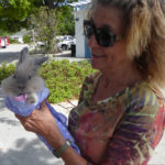
On Sunday we met Silver, a paralytic Angora rabbit that Jennifer has been nursing. Such a sweet rabbit, she seemed to love coming to visit and spending time outside. We look forward to hearing more about her progress. Along with Silver, John and Jennifer brought us a cutting from one of their plumeria plants. We are looking forward to seeing how it grows on Andiamo.
Today we leave for Alisha and Patrick’s wedding.

