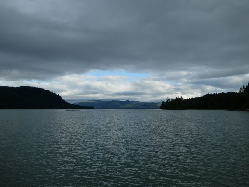
June 29, Saturday
- ROUTE: Sumner Strait, Wrangell Narrows to Deception Point Cove
- ANCHORED GPS LOCATION: 56o32.471′ N – 132o59.251’W
- ANCHORED IN: 10.5 feet (24 feet at high tide)
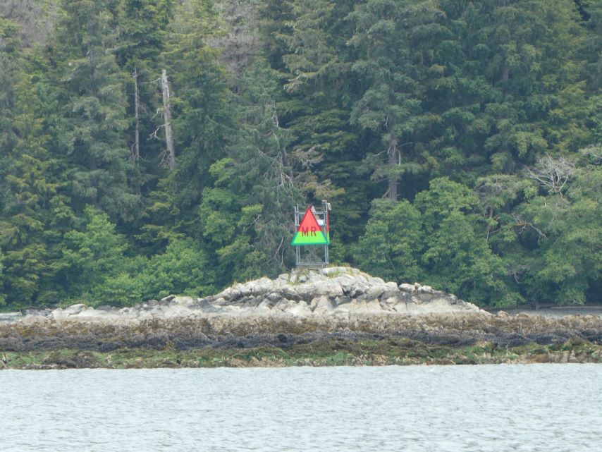
Tomorrow we plan to take Wrangell Narrows to Petersburg. Most all traffic in Southeast Alaska passes through this area which makes it a very busy and at times a very congested passage. According to our Douglas Guide “The Narrows can best be described as a ‘piloting’ challenge – one in which looking out the window and navigating with landmarks and navigational aids (and your depth sounder) is paramount.” With over 60 numbered navigation aids and a need to understand the currents in the narrows, the ebb and flood currents meet about halfway through, we decided that in order to be at our best we should anchor closer to the start of the 21 nautical miles from Point Lockwood Rock to Petersburg. Deception Point Cove puts us just a few miles south of Point Lockwood.
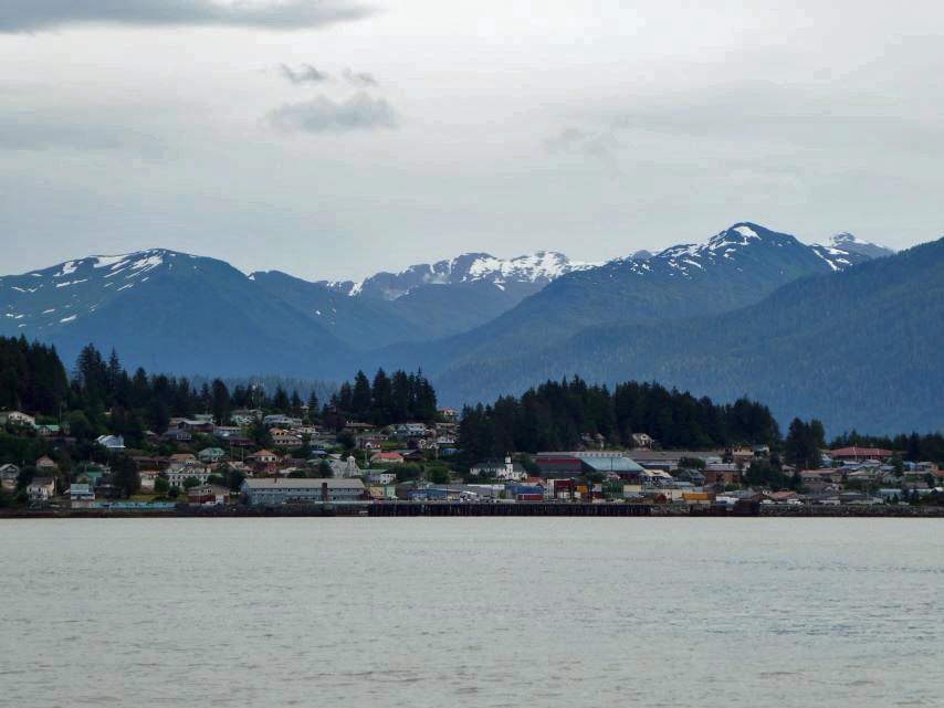
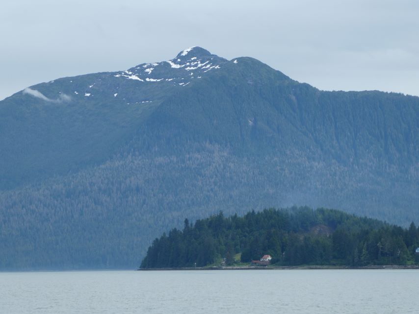
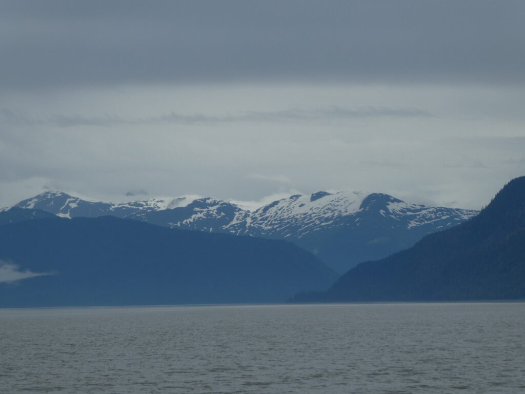
Views of the mountains from Wrangell to Deception Point. It is amazing how often the clouds and lighting changes during a short trip.
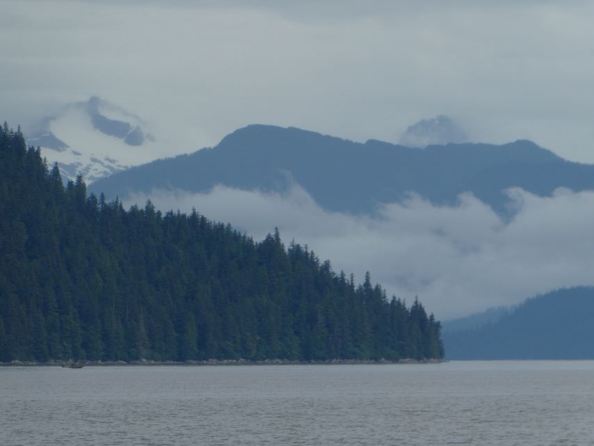
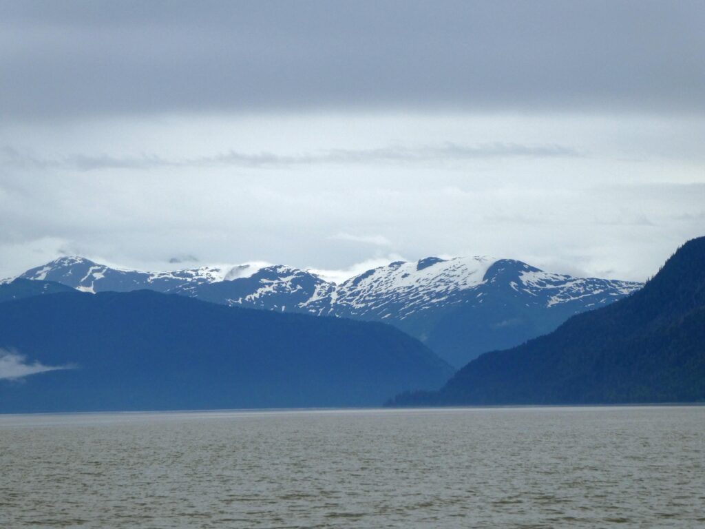
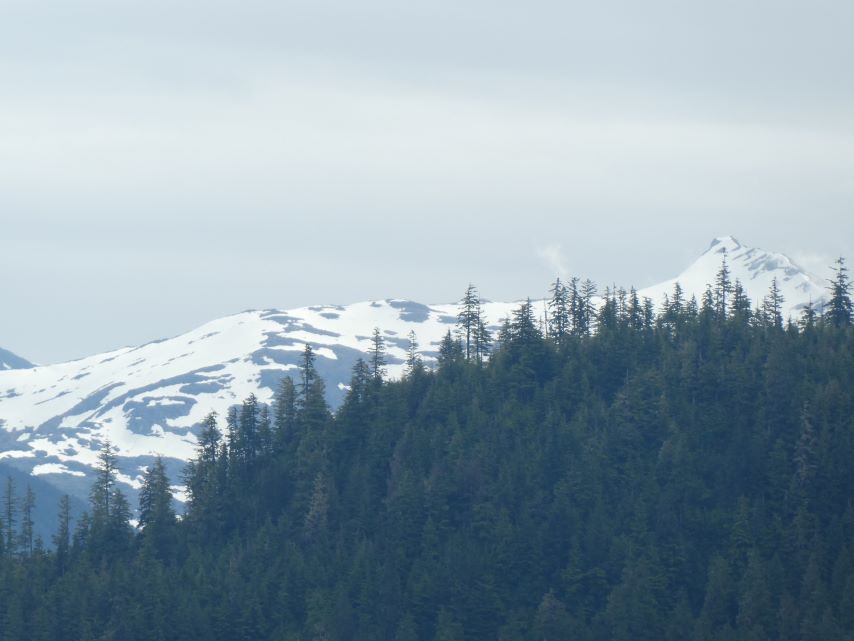
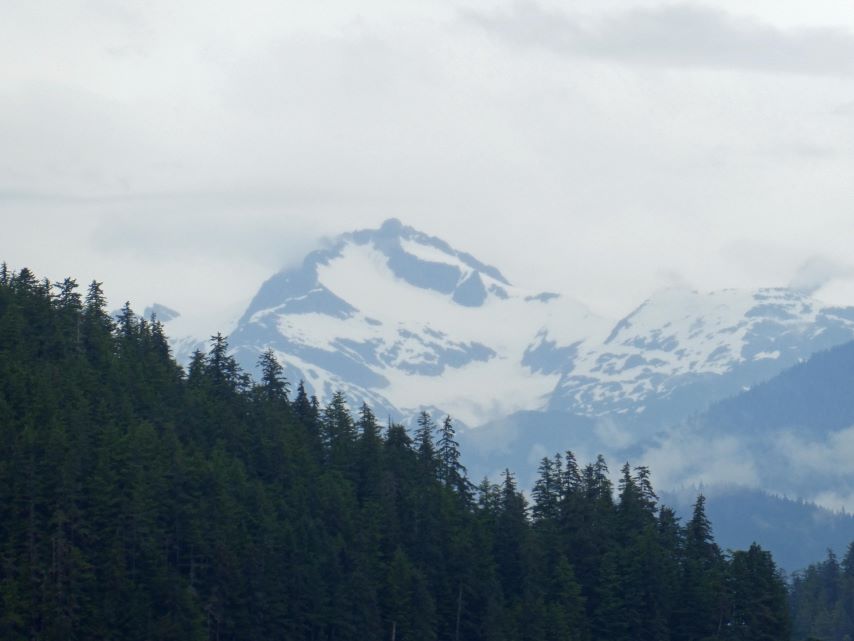
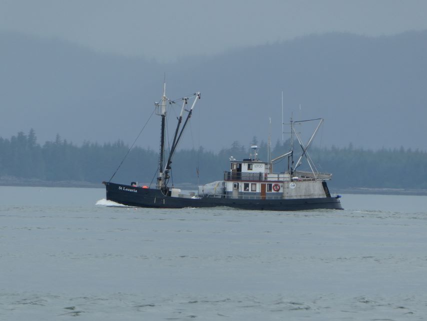
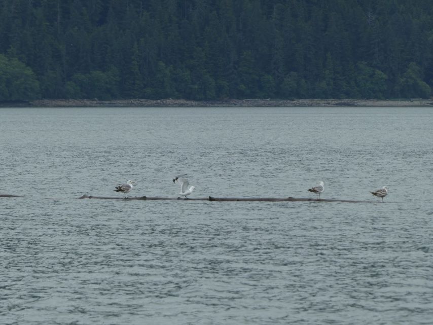
We only saw two boats on the way to Deception Point Cove. The fishing boat St. Lazaria and the unofficial log boat carrying four seagulls.
