June 21-22, 2017 Wednesday-Thursday
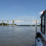
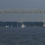
Wednesday, June 21: Arriving at Mile Zero of the ICW we turned east to transit the 14-mile long C&D Canal. A canal across the narrowest section of the Delmarva Peninsula was first suggested by Augustine Herrman in the late 1600’s, it took till 1826 for his dream to become a reality. The canal, 10 feet deep and 66 feet wide, cut 300 miles off the trip between Philadelphia and Baltimore. With improvements over time, the C&D Canal now has a depth of 35-feet and a width of 400-feet and is the busiest canal in the US and the third busiest in the world.
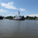
As observers, we love watching all types of vessels, but as boaters, it can be pretty tense when boating through a congested area and, although the guide books said it was pretty straight forward, we never look forward to transiting a busy canal or harbor. As luck would have it, we had only one tug that overtook us, Sea Robin, and a couple of small fishing boats, an easy run.
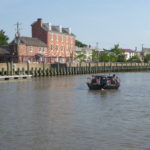
They say that a favorite pass time at Chesapeake City, MD is ship watching. Although I saw a few binoculars turned our way I’m sure that seeing us was not nearly as entertaining as when tall ships, Navy ships, and foreign ships transit.
When we arrived at Delaware City Marina the dock hand that helped us gave a quick rundown of the city, “ we have a population of 1,756, an ice-cream store, and thirteen churches,” what else could we possibly want to know.
Thursday, June 22: We were planning on exploring Fort Delaware, Fort Mott, and Fort DuPont today, all part of the historical defense system of the Delaware River, but the weather prediction for tomorrow is not good and the dock master told us that today’s weather prediction was the best one he had seen in over a month, so off we went.
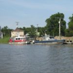
Delaware City is two miles north of the C&D Canal, which meant that when we left the marina we had to pass the east entrance of the canal. We counted seven sailboats (including a tall ship), one tanker, and five motor vessel going in the canal. Looks like a busy day for the C&D.
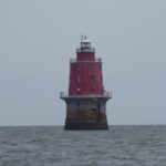
We cruised down the Delaware River and at the Miah Maull Shoal Lighthouse we set a heading for Cape May, via the Cape May Canal, and arrived at Utsch’s Marina in time to have docktails with fellow loopers.
Note: The Cape May Canal is just under three miles long and was dug from a natural shallow creek in 1942 after several ships were sunk by German U-boats. The building of the canal was the final link in a protected waterway intended to allow coastal shipping to travel along the coast without the fear of being sunk by German submarines.
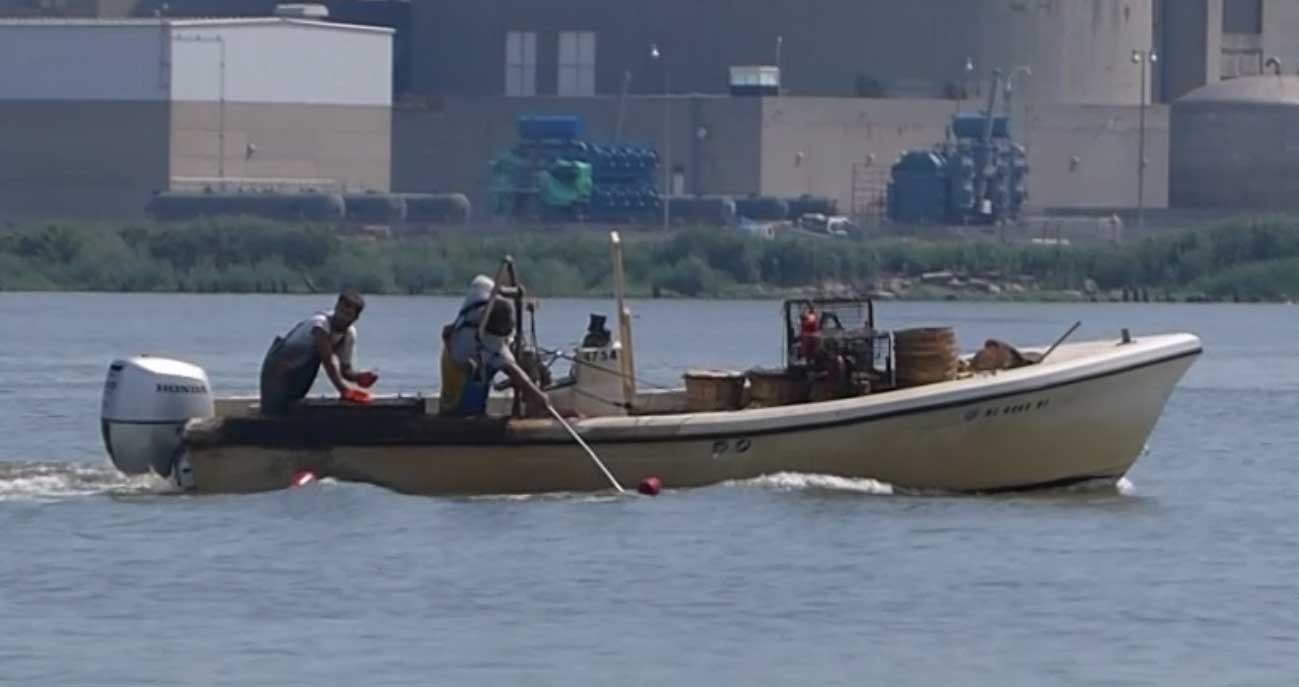
Nuclear Power Plant Crabbing (I wonder if the crabs glow in the dark?)

